Horse Hollow - SCR 319A
Total Miles
5.3
Technical Rating
Best Time
Spring, Summer, Fall, Winter
Trail Type
Full-Width Road
Accessible By
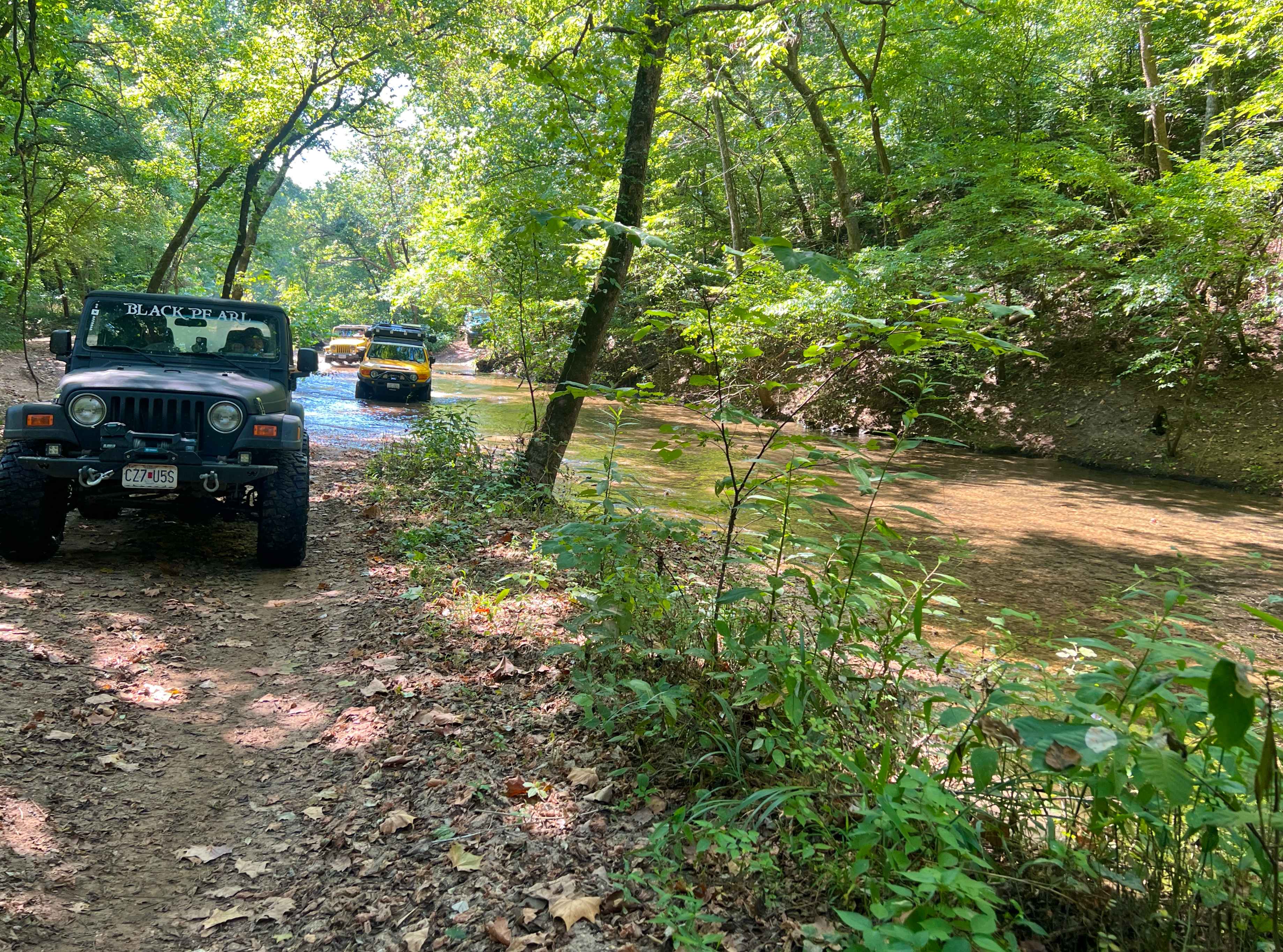
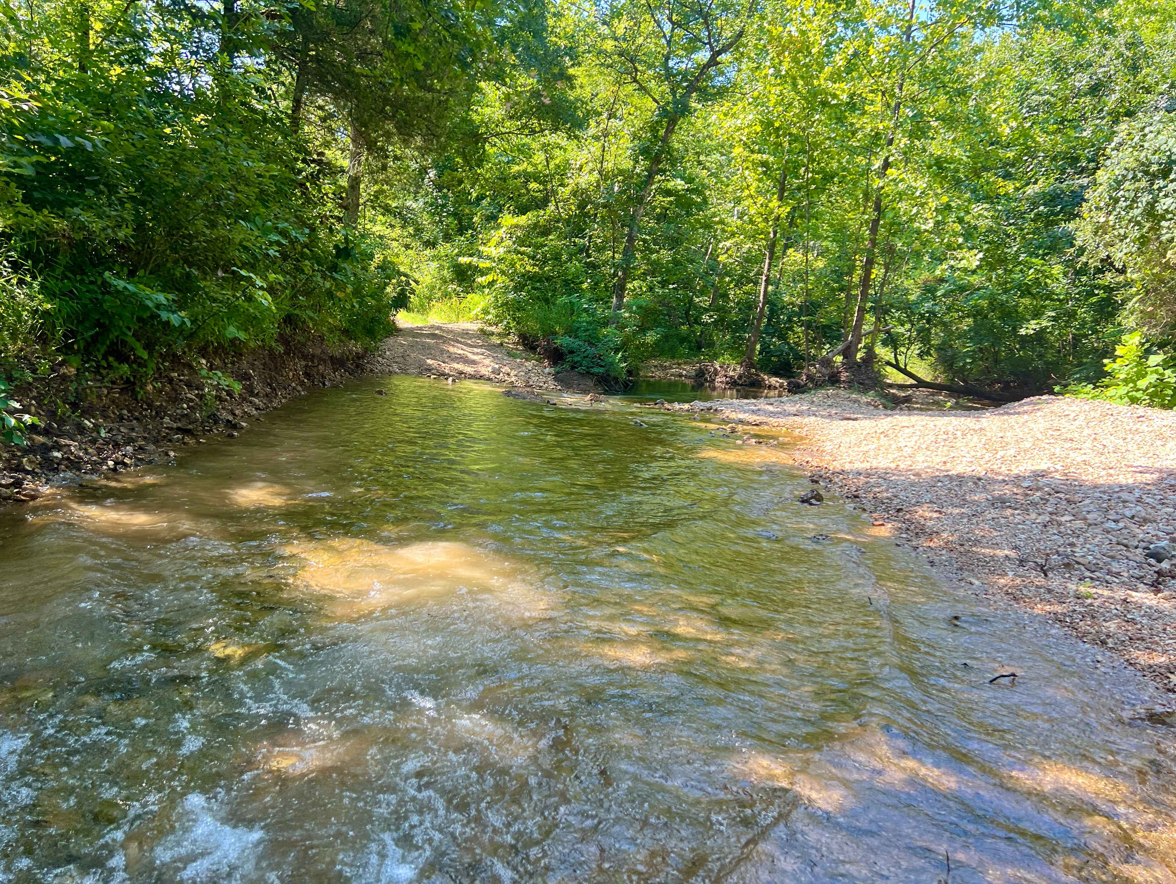
Trail Overview
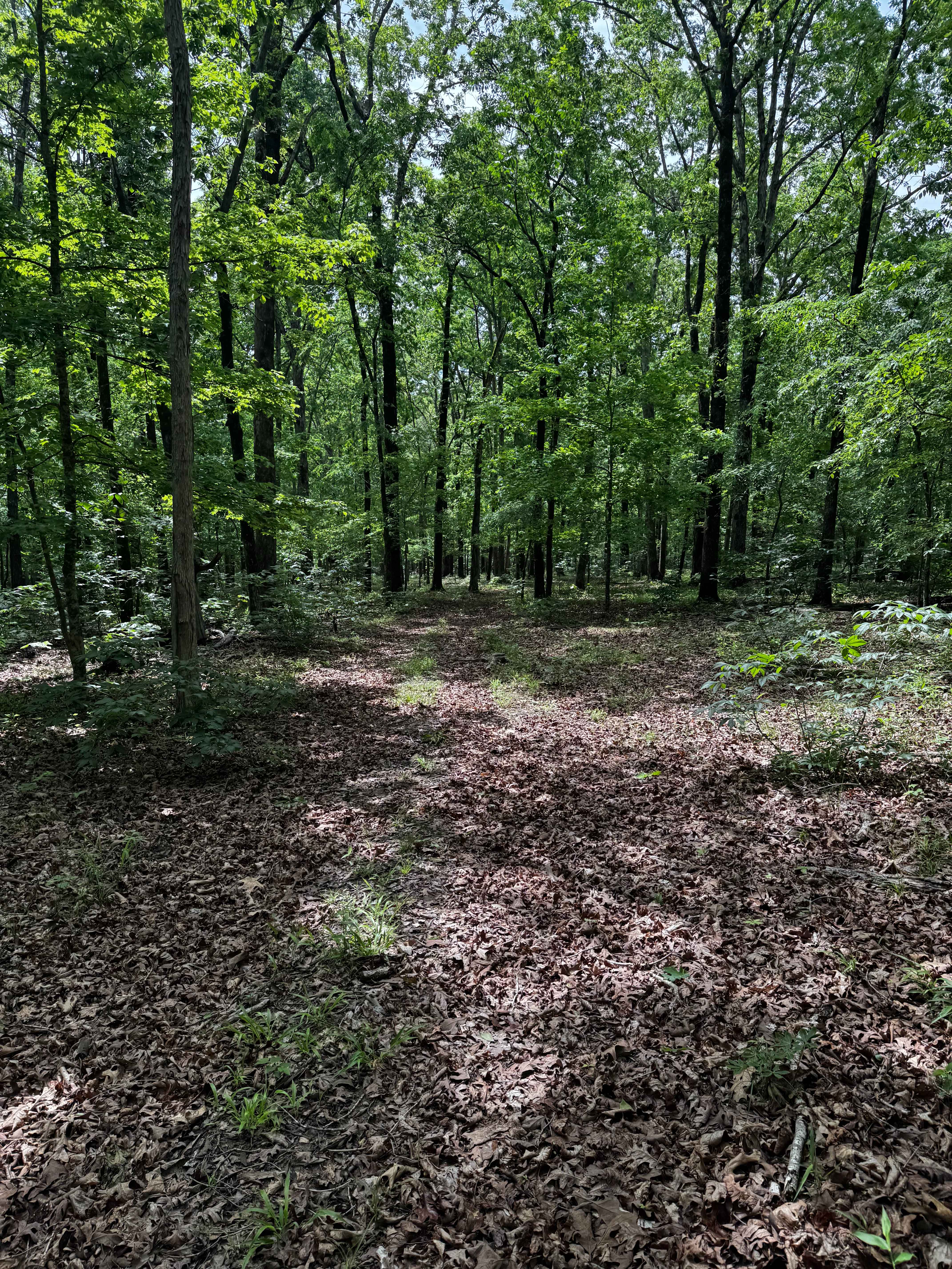
Horse Hollow Road, also known as Angeline Road, or Shannon County Road 319 and 319A, is a natural dirt and creek gravel road through the Missouri Department of Conservation's Angeline Conservation Area, and a small portion of the Ozark National Scenic Riverways. The Shannon 319A is a historic road through the valley known as Horse Hollow, which used to be home to the former Angeline logging settlement, post office, and train depot. On the southern end the road begins where the valley bottoms holding the Water Branch Creek meet the Jack's Fork River, due to the lay of this area with the creek and the rivers direct influence this intersection of the Akers Alley (SCR 308) and Horse Hollow (SCR 319A), can and likely will be underwater, this is usually the deepest part of the water encountered on both roads, if the Jack's Fork is above the normal (2 to 3 foot level via the Eminence gauge), use caution proceeding into this intersection. Once on the road going north of the intersection with 308, the road crosses several points with the Water Branch and other feeder creeks in the Hines, and Angeline Hollows feed and funnel additionally into Horse Hollow, this brings a dynamic variety of sand washes, mounding of creek gravel, small loose cobble, creek bottom sections of roadway, and plenty of water crossings into this low laying section of the valley. Once to the northern section of the road, it meets a hillside, climbing a steady moderate graded incline, featuring mild erosion and ruts, this goes for over the course of a mile to the ridge top where the Shannon 319A and 319 meet, with the last mile of the trek being on the semi-maintained SCR 319 gravel until it meets Missouri Route D near to Flatwoods, Missouri. A very fun road to see and enjoy, giving a glimpse into the former valley where horses were hidden during the Civil War, and later was part of a logging railroad operation right at the beginning of the 20th century. More of those details in the history section.
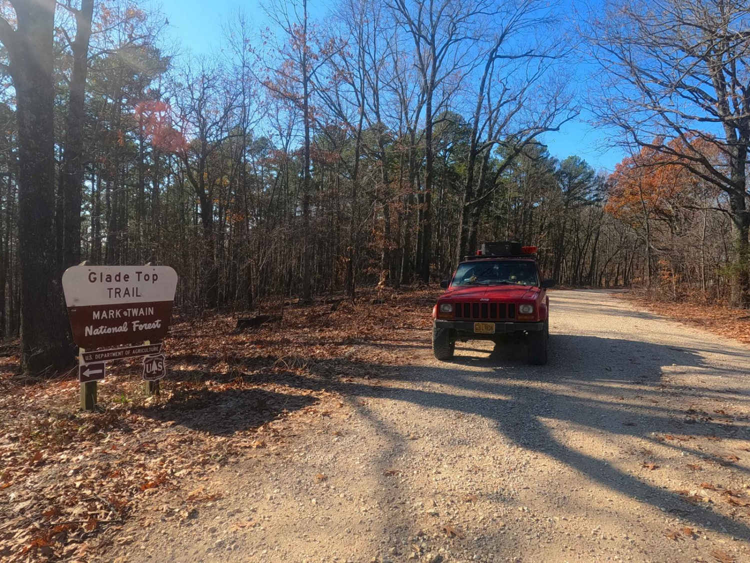
Photos of Horse Hollow - SCR 319A
Difficulty
Horse Hollow (SCR 319A) is given a base rating of 4/10 for the multiple water crossings being normally around 12 inches or greater in depth, both at the river and in the hollows of the southern portion, with other trail features including natural coarse creek rock, sandy washes, surface mud, mild active erosion and rutting, and mild grades up and down hills, large rock cobbles (6 to 10 inches), and small boulders (10 to 12 inches). Note that difficulty can decrease in very dry seasons when water levels drop, but can also significantly increase due to any uphill rain, which will directly influence the depth of the crossings, especially in heavy rain and storms. Check the forecast, and approach the water crossings with caution, especially if it has rained within a week. Check the Eminence Water Gauge for reference to the current water levels; normal is 2 to 3 feet. If higher than this, approach the intersection of the SCR 308 and 319A with caution to the depth of water. The Jacks Fork River at Eminence water gauge can be found here: https://water.noaa.gov/gauges/emcm7
History
Using a 1915 Topo Map of Eminence, Missouri, there is a noted Angeline Post Office and Horse Hollow, shown in the Valley hosting the modern-day Shannon County Road 319A, but more notably two Railroad Lines met and had a triangle intersection in this Valley, roughly centered on 37.18048, -91.43094, these were known as the Salem Winona & Southern, and the other being called the "3rd Spur". According to the State Historical Society of Missouri, Horse Hollow / Angeline Logging Camp were part of the Alley Township, located northeast of Alley Springs. The hollow got its name from John Alley, who kept his horses there during the Civil War raids, when animals were being taken and stolen by those in the war. Angeline was a post office from 1910 to 1929, named by a Mr. Mabie, a settler from Buchanan County, after a feminine relative. Another explanation of the name was credited E.B. Grandin, director of the Missouri Lumber and Mining Company, who named the post office after Mrs. Angeline Grandin. A forum group named Frisco.org, also claimed that Angeline was known more as a Logging Camp, more than a town or settlement. Despite this, Angeline still had a schoolhouse, which was known as District Number 88 in the area. Apparently, after the logging of the area was completed, the logging camp/settlement dissolved, and the people moved elsewhere. In the 1940's the Missouri Department of Conservation started to obtain parcels of land in the area that would eventually become part of the larger MDC Angeline Conservation Area. This is backed by the next detailed map available, being the 1965 topo of Alley Spring, showing nothing of the School, Railroad Lines, Post Office, or even the Angeline name, just a simple valley named Horse Hollow. Here in 2025, the Angeline Conservation Area has grown to nearly 40,000 acres in size. Documented by Christopher Menz 12/2025.
Status Reports
Horse Hollow - SCR 319A can be accessed by the following ride types:
- High-Clearance 4x4
- SUV
- SxS (60")
- ATV (50")
- Dirt Bike
Horse Hollow - SCR 319A Map
Popular Trails
Buick Truck Trail 2231

Upper Henderson - FS 2260
Sauce on the Side
Pond Fork - FS 145
The onX Offroad Difference
onX Offroad combines trail photos, descriptions, difficulty ratings, width restrictions, seasonality, and more in a user-friendly interface. Available on all devices, with offline access and full compatibility with CarPlay and Android Auto. Discover what you’re missing today!