Allen Branch FS 4004
Total Miles
2.3
Technical Rating
Best Time
Spring, Summer, Fall, Winter
Trail Type
Full-Width Road
Accessible By
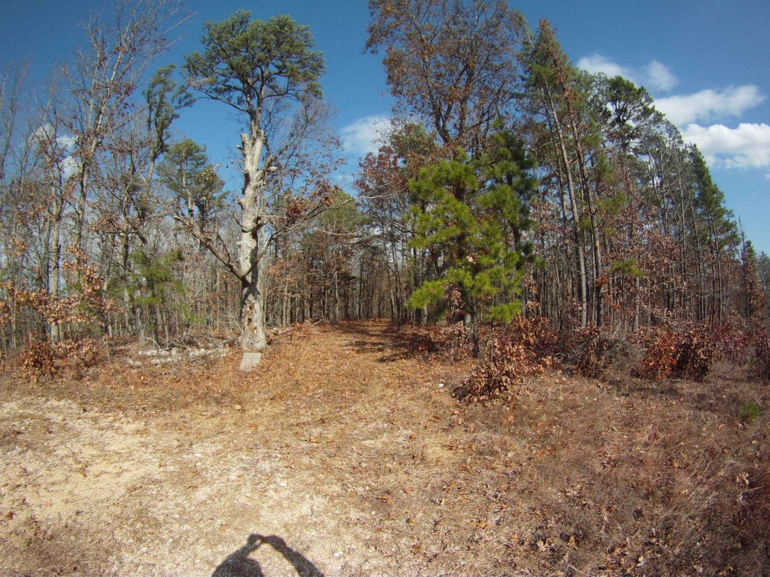
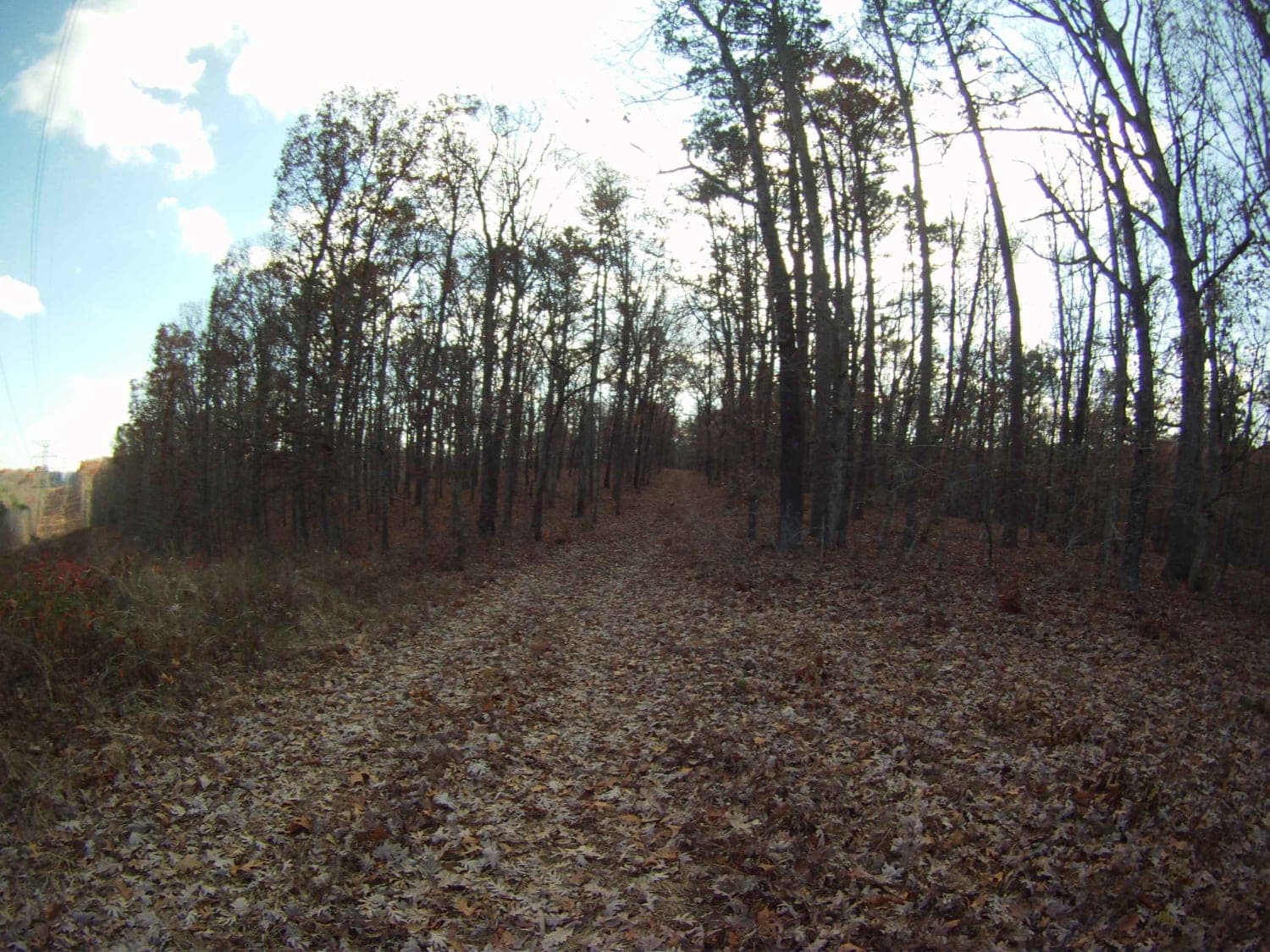
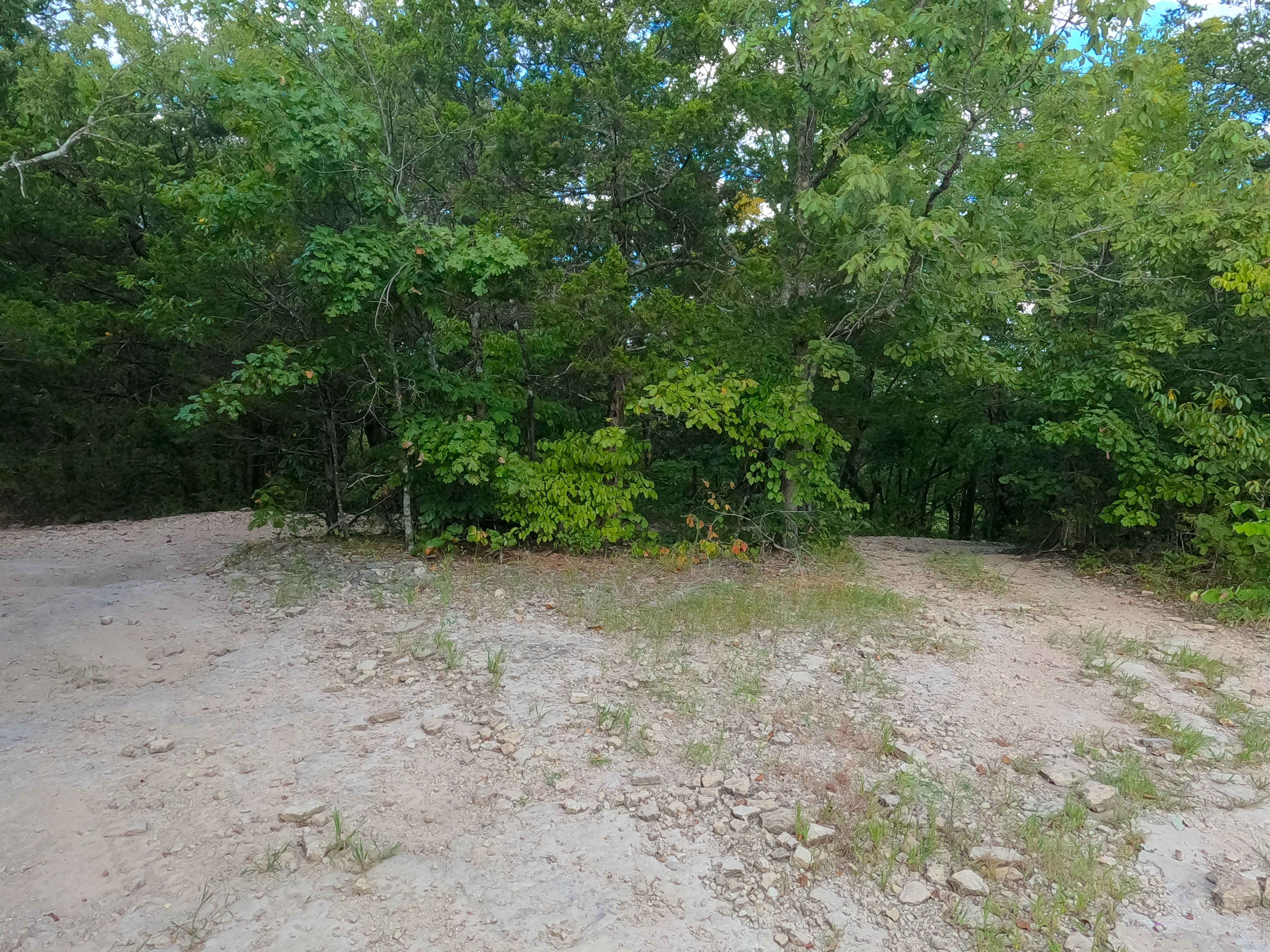
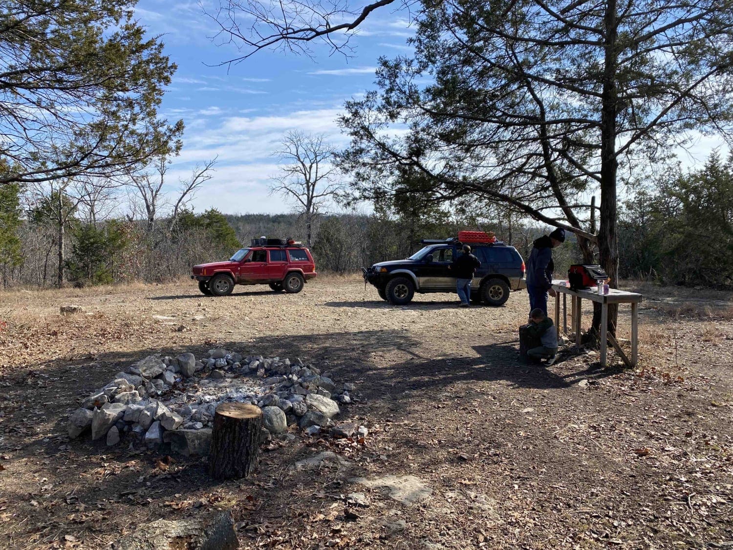
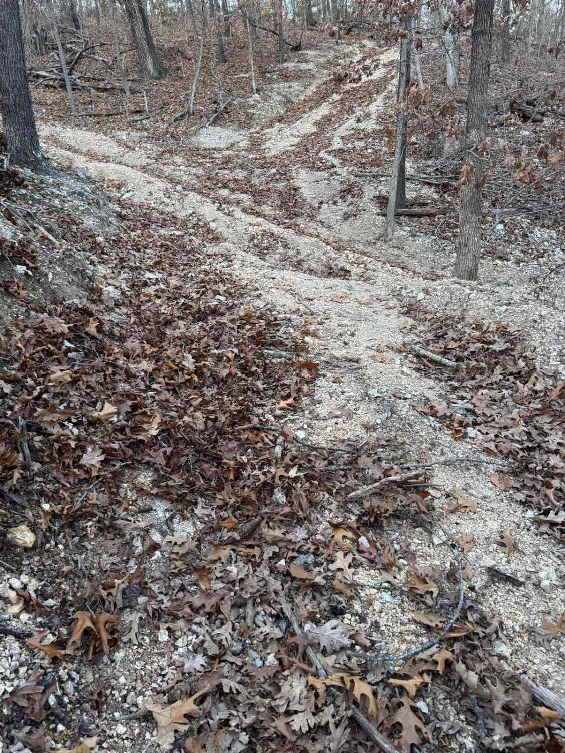
Trail Overview
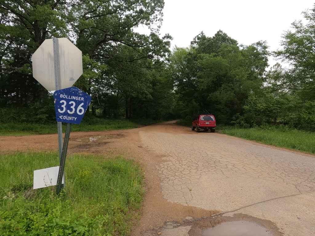
Very easy up to the power line. It's a road. Easy access to a place to hike, camp, or hunt. Particularly to hike or hunt the power-line cut. After the power lines, it's a trail for about 125 yards. Towards the top staying to the left will connect to CR 605 [AKA Jinkerson Road which is paved] which connects to Highway 8 (North and Pigeon Roost - South). Note: motorized travel on the power-line cut is prohibited, although not posted fines are significant. Plated vehicle or county ATV tag required.
Photos of Allen Branch FS 4004
Difficulty
Very good road surface with a few soft spots. Not 2 lane. You could drive this in a sedan in dry conditions.
Status Reports
Allen Branch FS 4004 can be accessed by the following ride types:
- High-Clearance 4x4
- SUV
- SxS (60")
- ATV (50")
- Dirt Bike
Allen Branch FS 4004 Map
Popular Trails
Pet Hollow - FS 507A
Reynolds Ford Road
Roadkill Cafe - FS 504
Yellow 272
The onX Offroad Difference
onX Offroad combines trail photos, descriptions, difficulty ratings, width restrictions, seasonality, and more in a user-friendly interface. Available on all devices, with offline access and full compatibility with CarPlay and Android Auto. Discover what you’re missing today!