James Creek Road
Total Miles
3.9
Technical Rating
Best Time
Spring, Fall, Summer, Winter
Trail Type
Full-Width Road
Accessible By
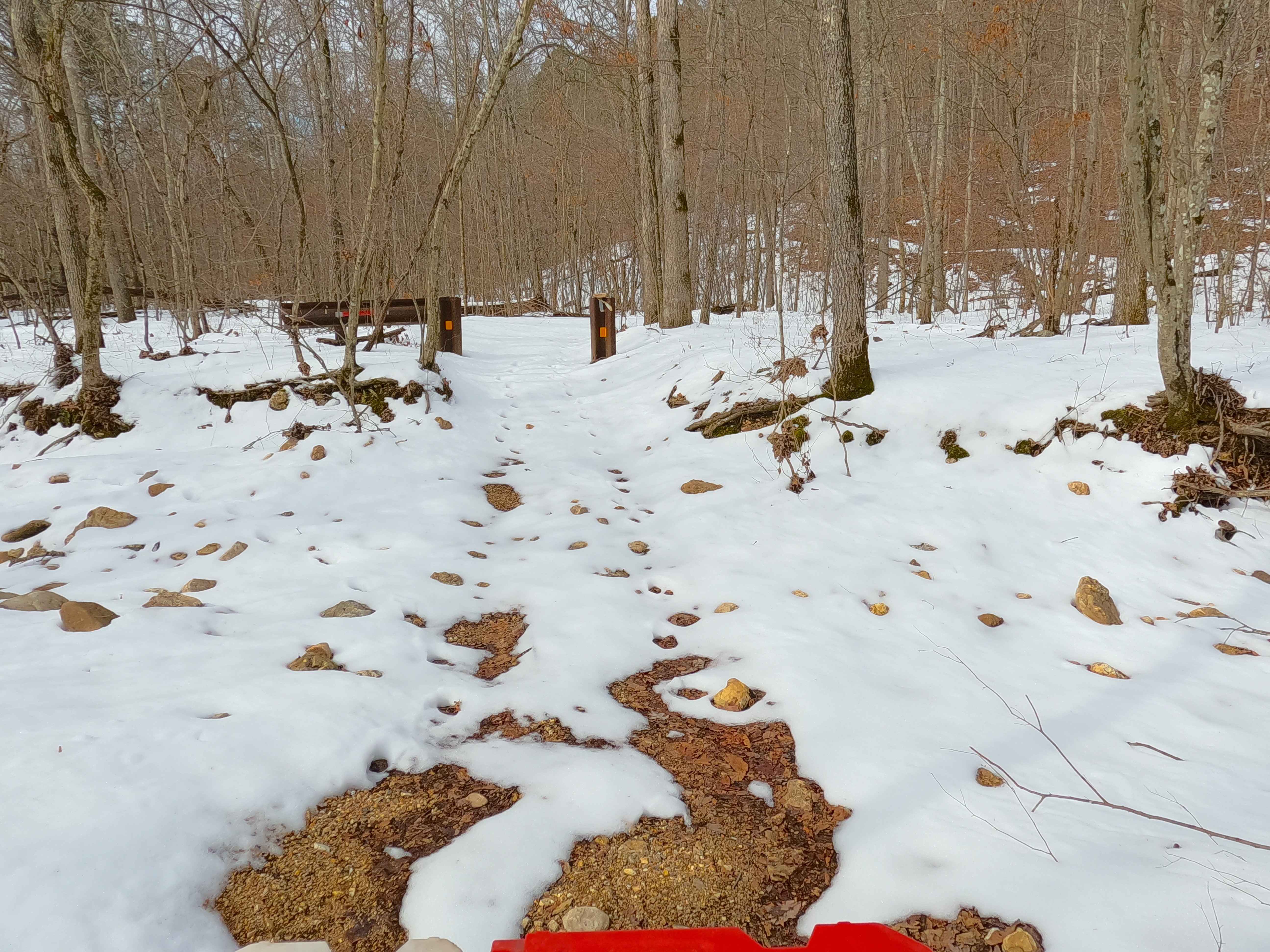
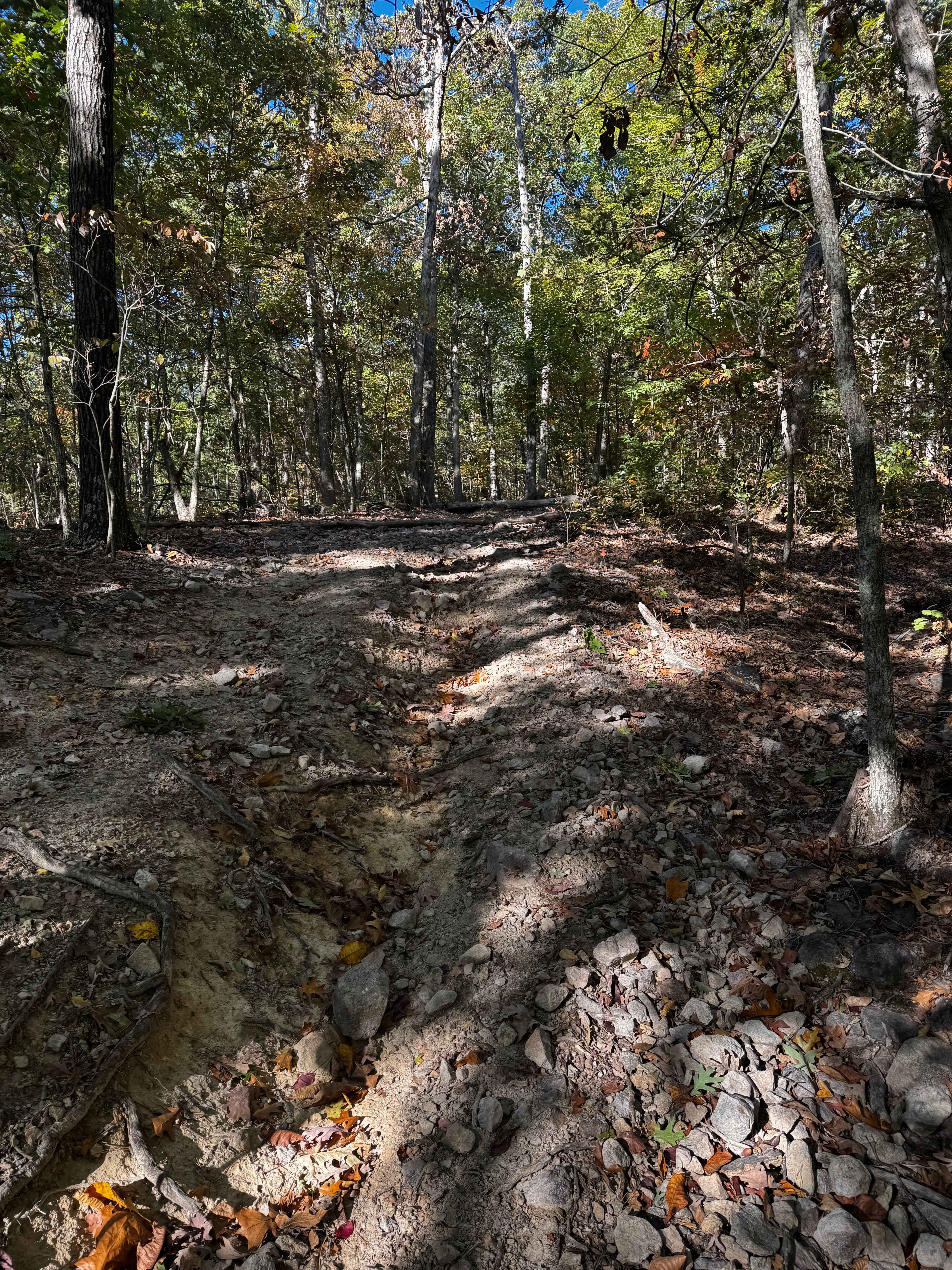
Trail Overview
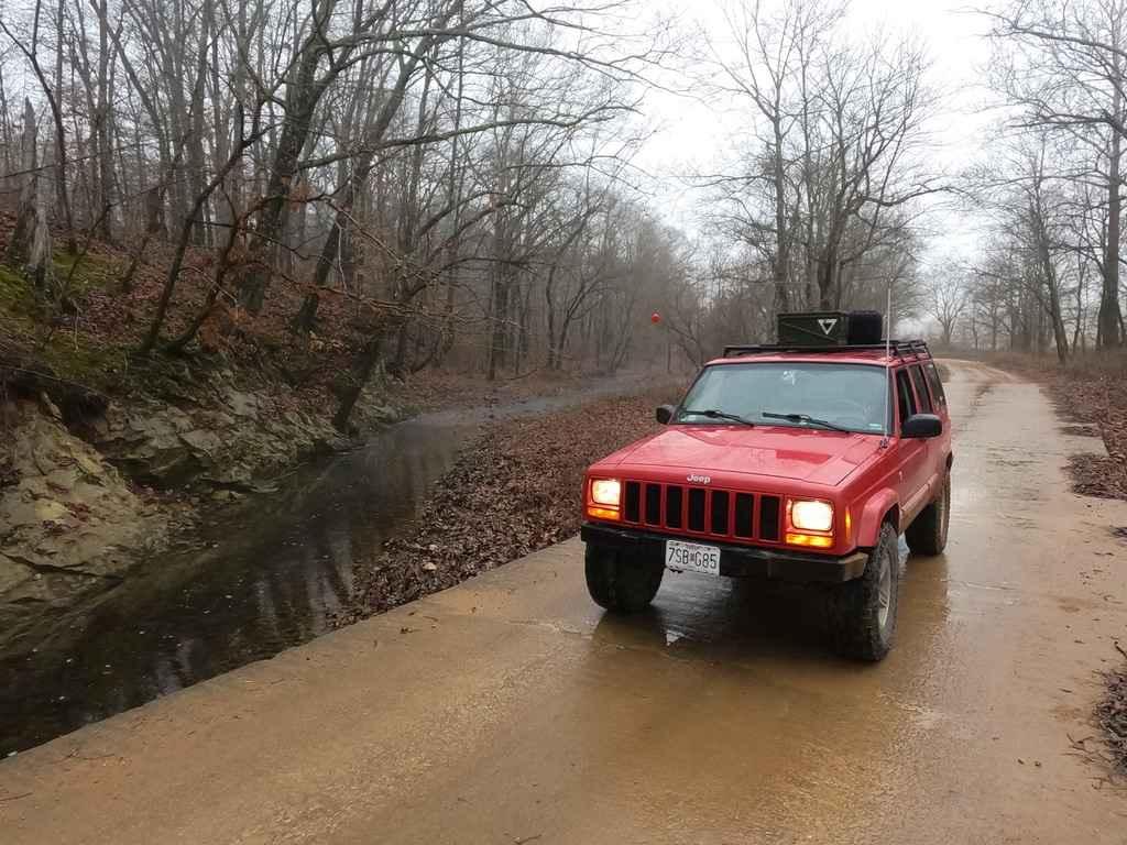
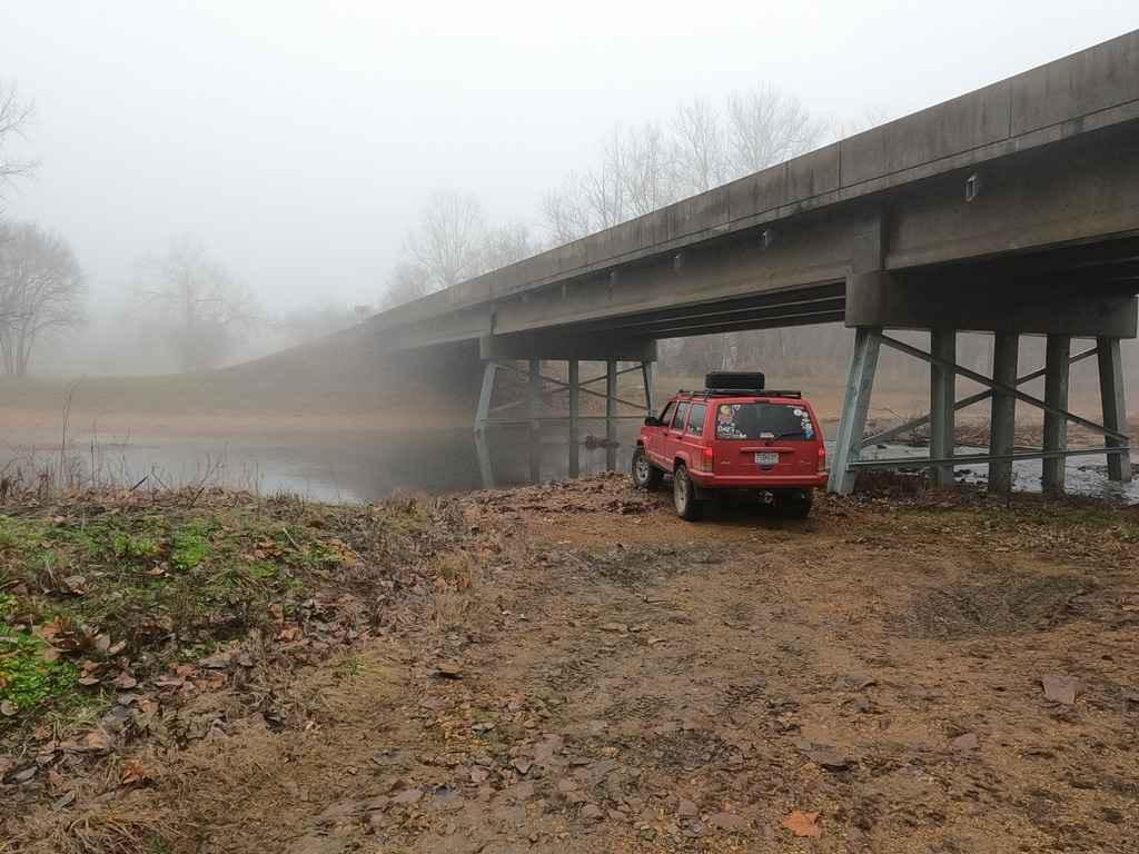
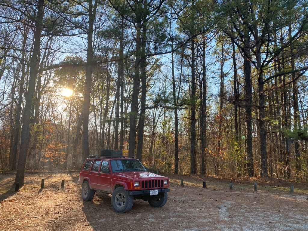
The James Creek Road, also known as Bollinger County Road 342 is a gravel county road rolling through the Missouri Countryside along James Creek. The road has a course gravel base with sweeping turns and heavy potholes and washboarding. The main thrills of this road are at the two ends of its track, the east end features an optional water crossing over the Whitewater River, as well as a required long low water bridge over a beautiful scenic section of the James Creek, the middle is mostly low land farmland snaking it's way along the creek hitting several low water bridges along the way until it hits the western end where the road climbs uphill on a medium grade that features loose soft gravel due to washing and heavy water flow going down the hill.
Photos of James Creek Road
Difficulty
The road is mostly a 1/10 road but features several water crossings that could see heavy flow in heavy rain, on top of the steep uphill grade on the western end being rather soft with loose gravel, and if left unmaintained could be a serious obstacle with minor rutting and washes.
James Creek Road can be accessed by the following ride types:
- High-Clearance 4x4
- SUV
James Creek Road Map
Popular Trails
General Watkins Park Road
Funk Tower Road
Sutton Bluff ATV 8 West - SB 8
Big Oooof
The onX Offroad Difference
onX Offroad combines trail photos, descriptions, difficulty ratings, width restrictions, seasonality, and more in a user-friendly interface. Available on all devices, with offline access and full compatibility with CarPlay and Android Auto. Discover what you’re missing today!