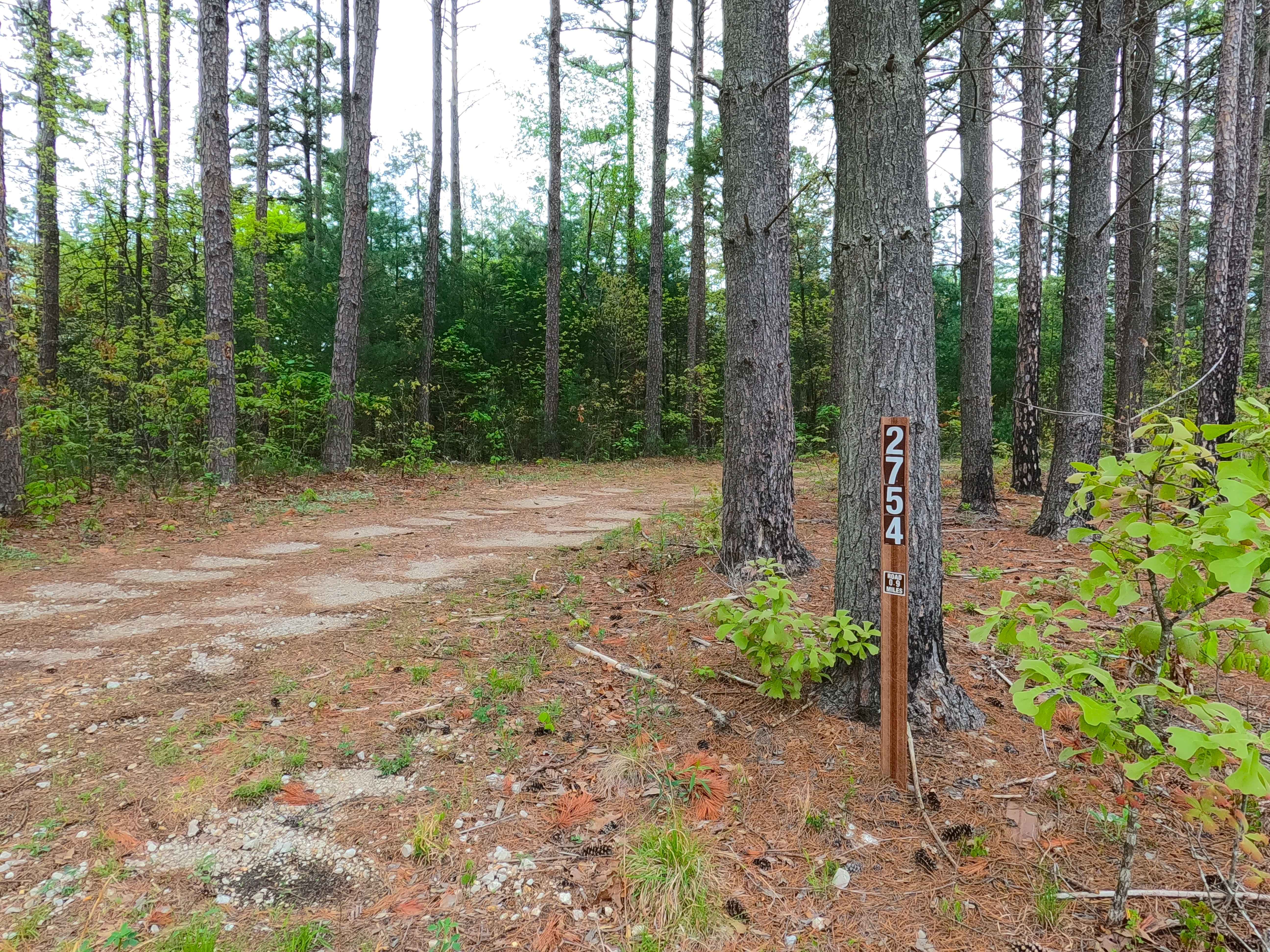
James Ridge - FS 2754
Total Miles
1.1
Technical Rating
Best Time
Spring, Summer, Fall, Winter
Trail Type
Full-Width Road
Accessible By
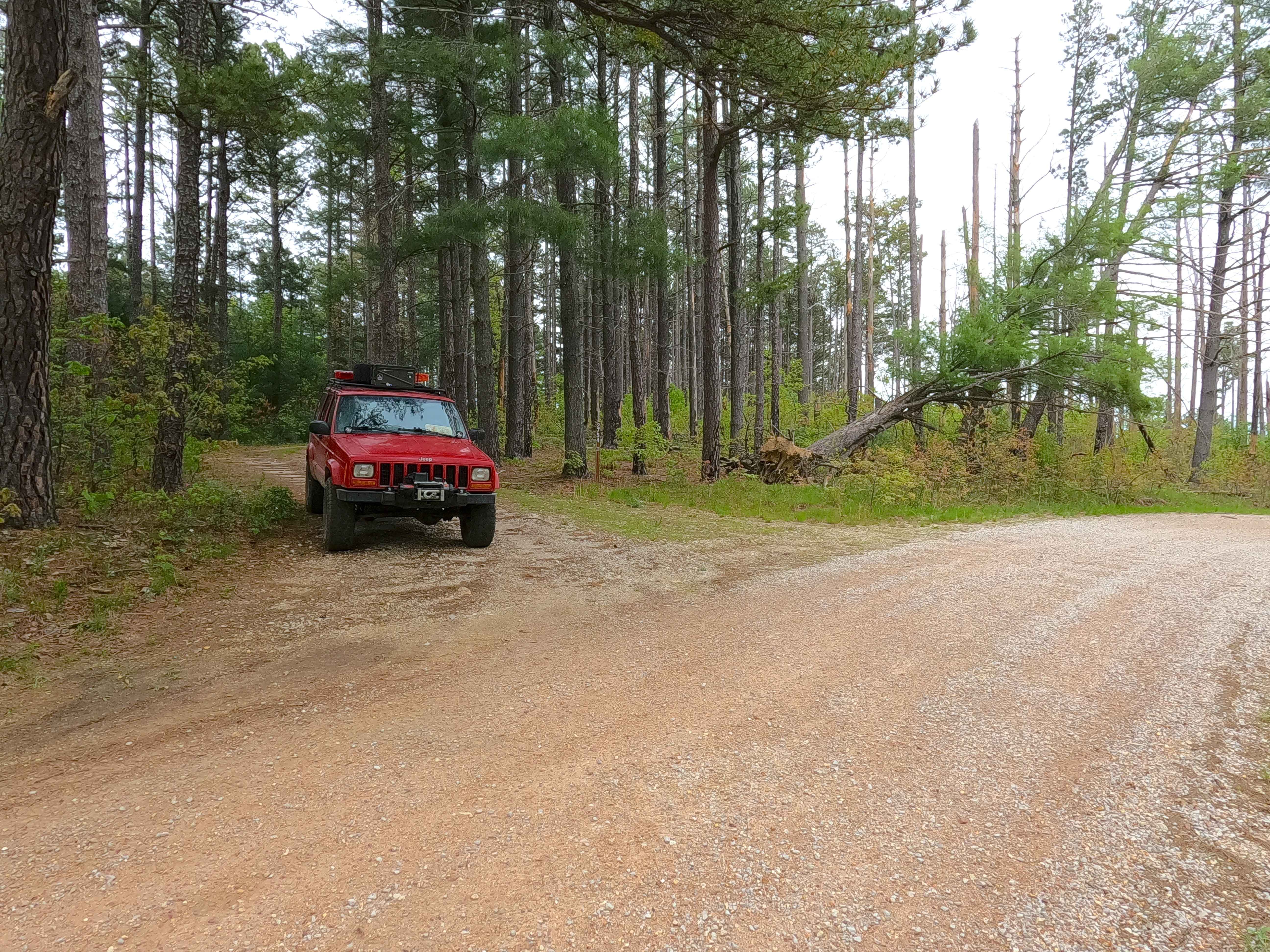
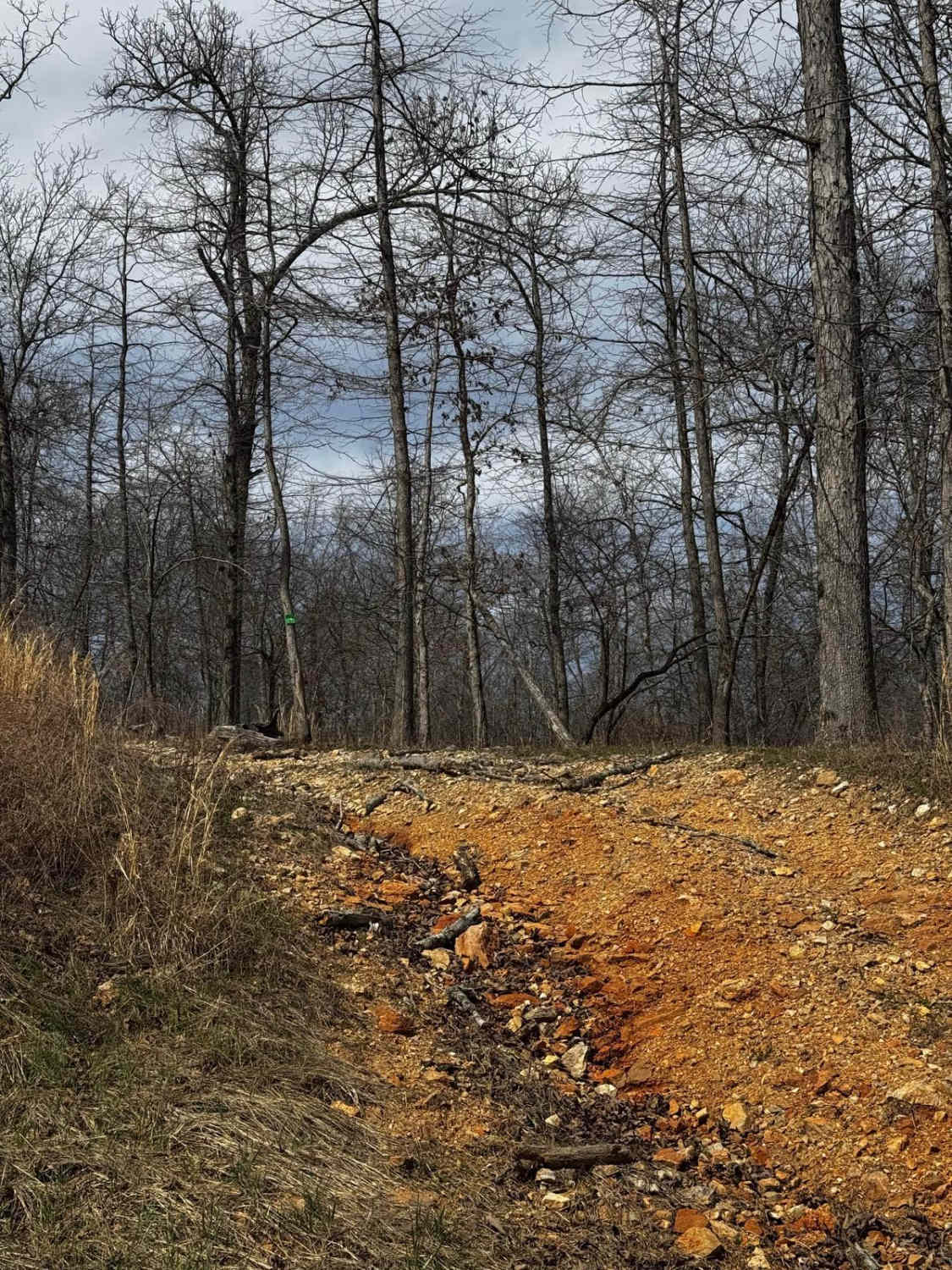
Trail Overview
James Ridge FS 2754, is a semi-maintained gravel forest road within the Salem Unit of Mark Twain National Forest. The road features a ridge-top ride on the hill with James Branch Creek to the south and Chandler Hollow/Lost Lake to the east. Along the way, there are small water collection spots, surface mud, and coarse rock. Off the main track, there are several cutouts and old spur roads to use for dispersed camping or to pull off and take a break, enjoying the peaceful vibes of this road, which features a hiking path to James Branch Creek on the western side of Lost Lake.
Photos of James Ridge - FS 2754
Difficulty
The James Ridge is given a base rating of 1/10, being a single-width, two-track, maintained gravel road, going mildly downhill to the legal endpoint, with occasional soft spots along the track in the bowl-like sections of the road. It is safe to expect all the normal gravel road complications of washboards, mounding, and potholes. The difficulty could increase due to a lack of maintenance or extreme wet and inclement conditions.
History
This road parallels just to the south of the old Sligo and Eastern Railroad grade that comes from the western side of Lost Lake. For greater details and context to the history of the railroad and the lake, check out the history section in the James Branch FS 2741 feature trail.
Status Reports
James Ridge - FS 2754 can be accessed by the following ride types:
- High-Clearance 4x4
- SUV
- SxS (60")
- ATV (50")
- Dirt Bike
James Ridge - FS 2754 Map
Popular Trails

Hillside Trail 4

Upper Field Woodlands Trail
The onX Offroad Difference
onX Offroad combines trail photos, descriptions, difficulty ratings, width restrictions, seasonality, and more in a user-friendly interface. Available on all devices, with offline access and full compatibility with CarPlay and Android Auto. Discover what you’re missing today!