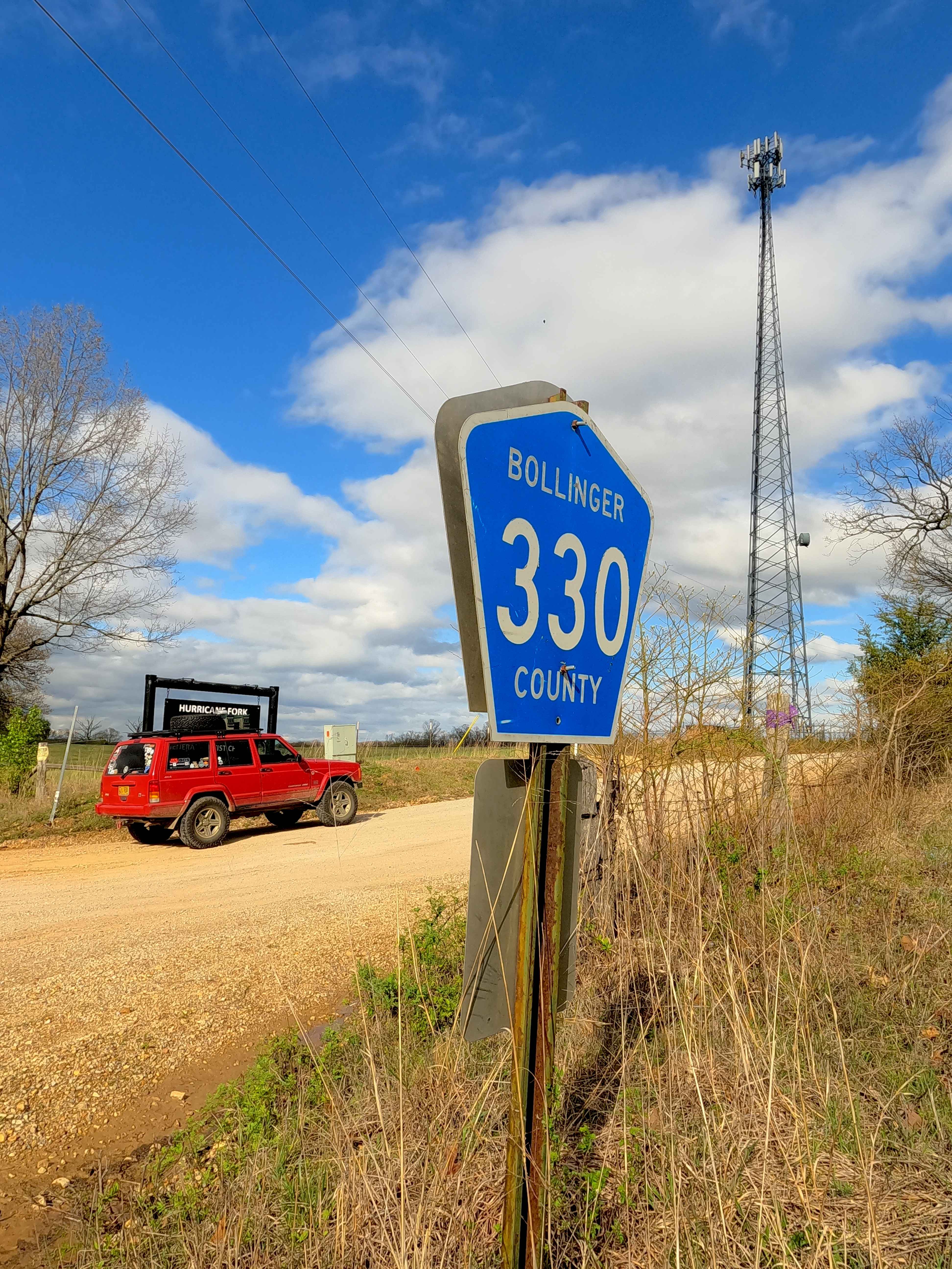
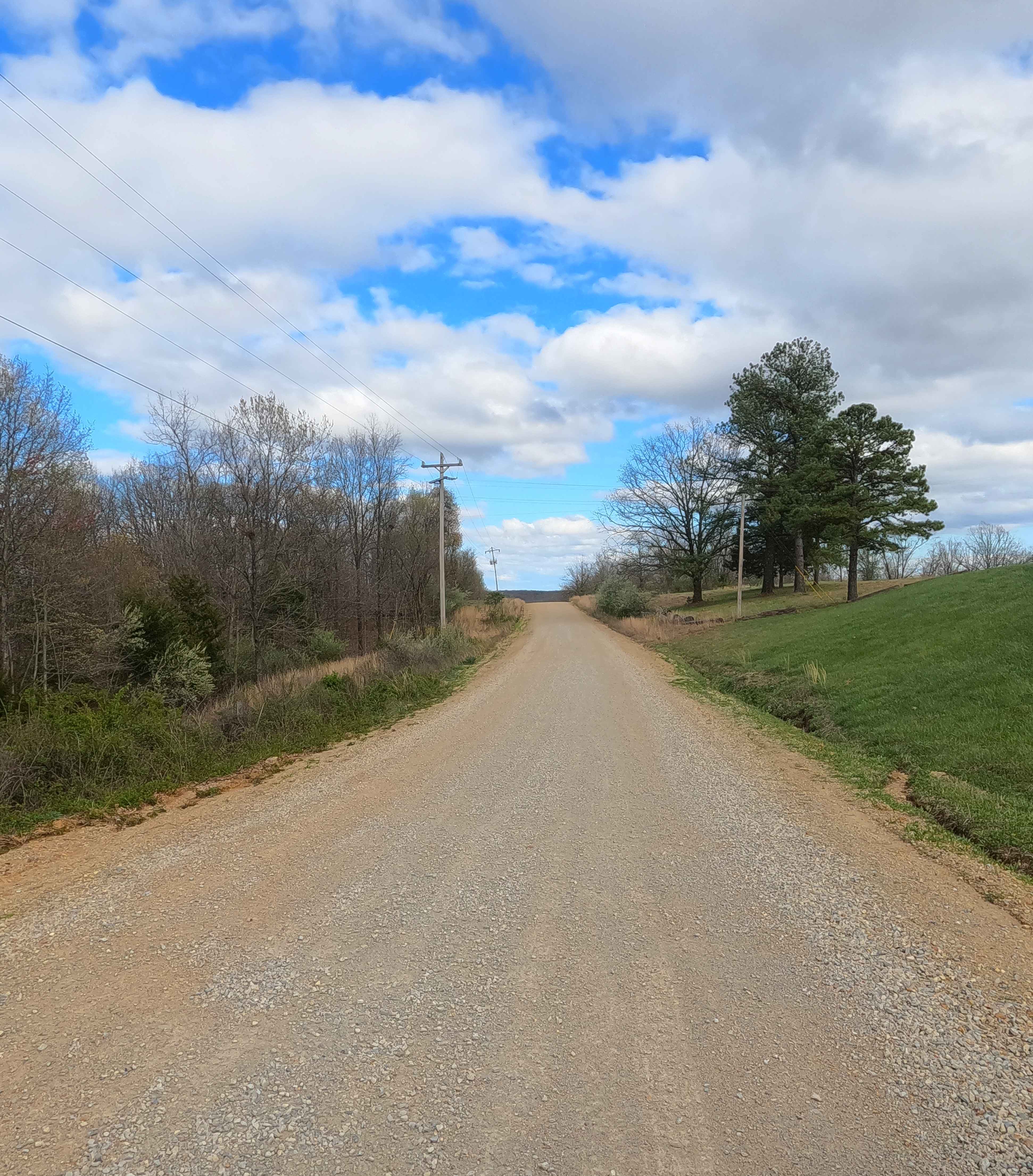
Hurricane Road
Total Miles
3.2
Technical Rating
Best Time
Spring, Summer, Fall, Winter
Trail Type
Full-Width Road
Accessible By
Trail Overview
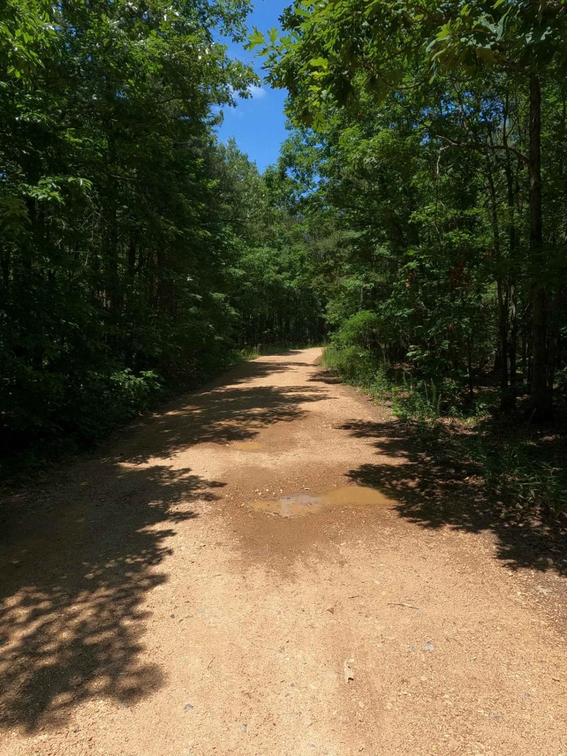
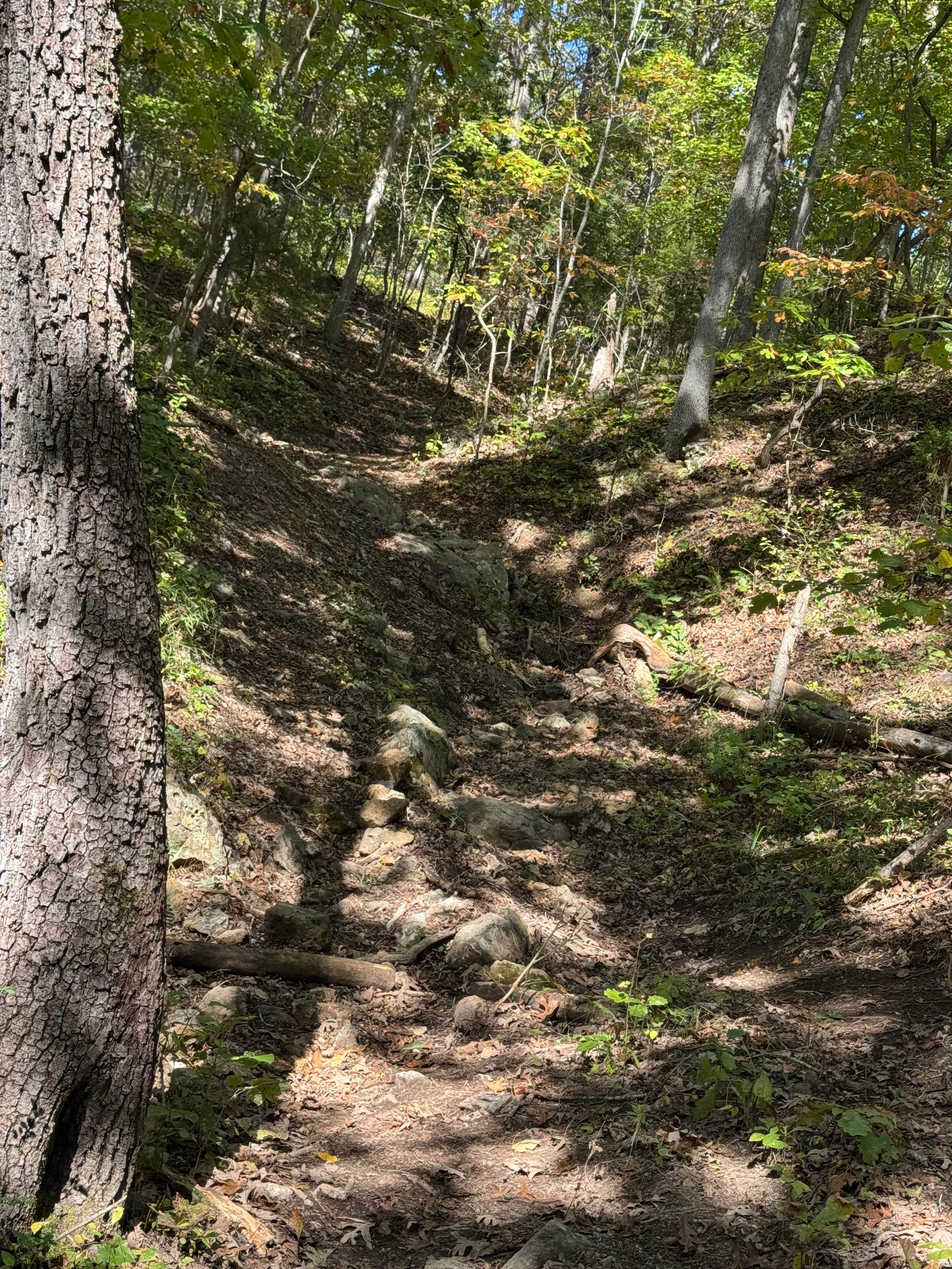
Hurricane Road, also known as the Bollinger County Road 328 and the west section of the 330, is a coarse-gravel road traversing the hills of the southeastern Missouri countryside. The road logistically connects Missouri Route M on the east end, passing the village of Hurricane, MO, to Missouri Route 51 on the west end. In typical Bollinger County fashion, this countryside road starts with maintenance on the ends and shows its character towards the middle, less-used section, featuring nothing less than coarse orange gravel, washboarding, potholes, mounding, and a low water bridges crossing at Hurricane Creek and Alex Creek. This road also has potential sections of the road that turn to dirt, surface mud when wet, loose rock cobbles, and natural rock poking out at the road surface. A great alternative to taking Missouri Route 72 or Route M East to West, or for simply connecting to more Bo-Co roads.
Photos of Hurricane Road
Difficulty
Base Rating for this road is 2/10. The difficulty of the area is constantly changing based on two things: how wet it is and how neglected the road is. This is a great example of a road that can swing from 1/10 stable and easy to ride, versus wet and subtle challenge crossing 3-12" of water, ranging from a low-demanding 2/10 to 3/10 rating. The biggest concern would be flash flooding in the event of heavy rains or a constant, very wet season, resulting in a high potential of crossing water at the low water bridge, and washed loose gravel, with potential ruts on the hills.
Status Reports
Hurricane Road can be accessed by the following ride types:
- High-Clearance 4x4
- SUV
- SxS (60")
Hurricane Road Map
Popular Trails
Rail Hollow
Chloride Ridge FSR 2112
Tinkerbell

Yellow 420
The onX Offroad Difference
onX Offroad combines trail photos, descriptions, difficulty ratings, width restrictions, seasonality, and more in a user-friendly interface. Available on all devices, with offline access and full compatibility with CarPlay and Android Auto. Discover what you’re missing today!