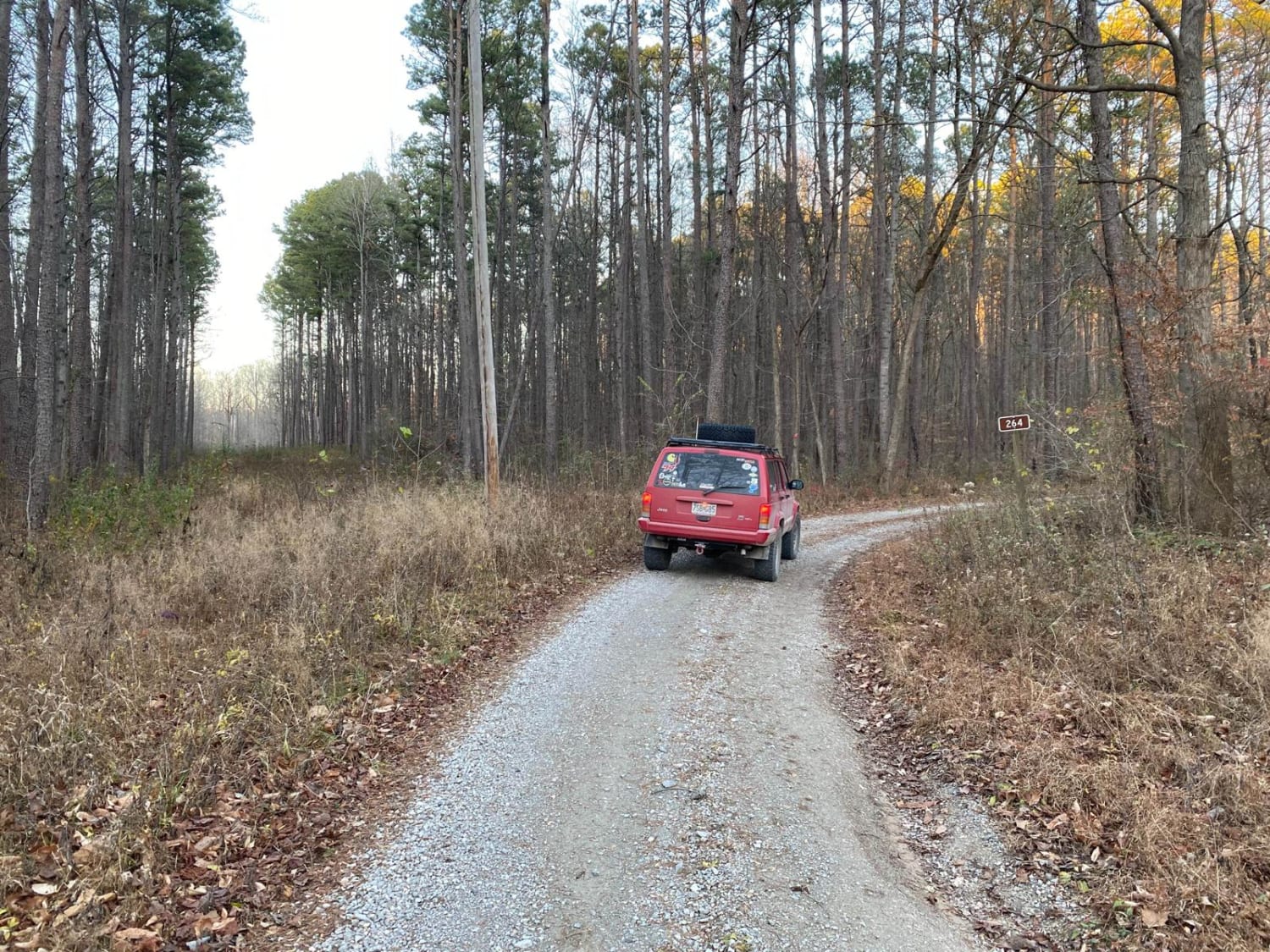
Off-Road Trails in Illinois
Discover off-road trails in Illinois
Learn more about Eagle Mountain Bluff Trail FSR 1454
Eagle Mountain Bluff Trail FSR 1454
Total Miles
1.2
Tech Rating
Moderate
Best Time
Summer, Fall
Learn more about Eagle Mountain Fire Road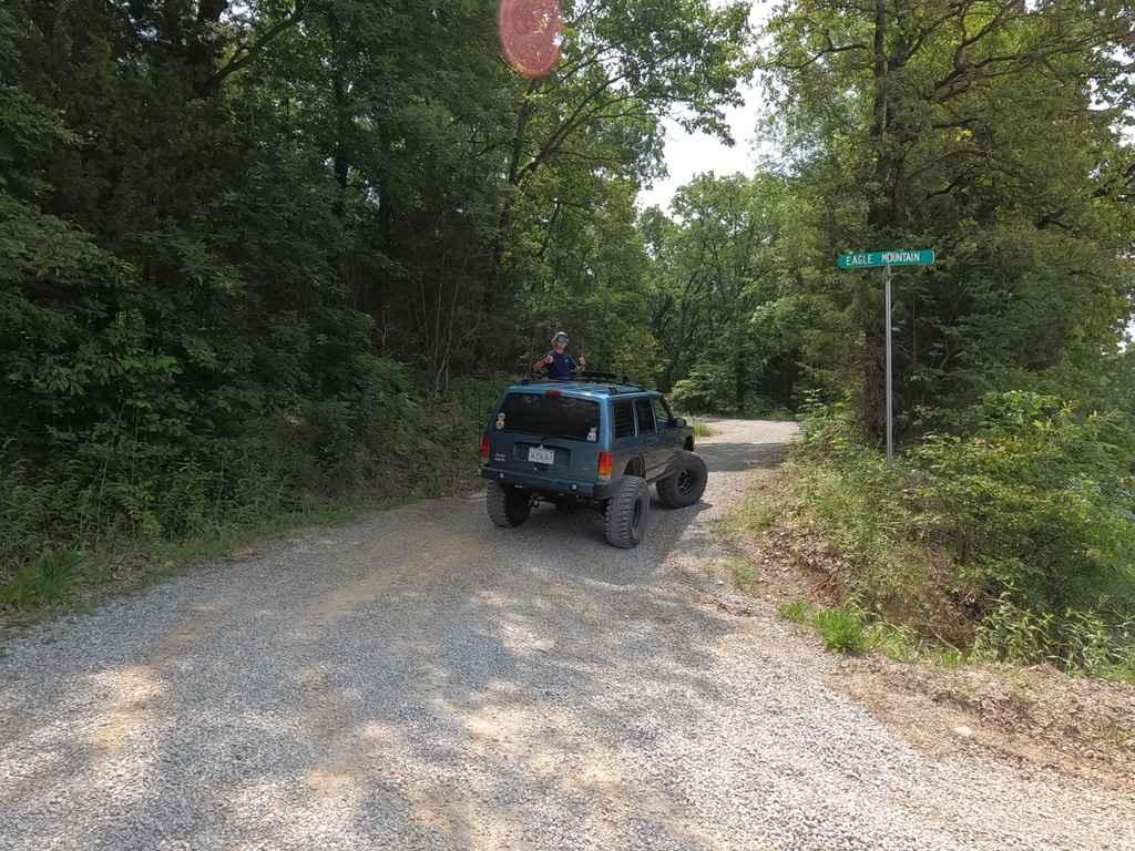
Eagle Mountain Fire Road
Total Miles
5.1
Tech Rating
Easy
Best Time
Spring, Summer, Fall, Winter
Learn more about East Delta Road
East Delta Road
Total Miles
2.6
Tech Rating
Easy
Best Time
Spring, Summer, Fall, Winter
Learn more about East Field Access Trail
East Field Access Trail
Total Miles
0.7
Tech Rating
Easy
Best Time
Summer
Learn more about Gale Trail Road FSR 272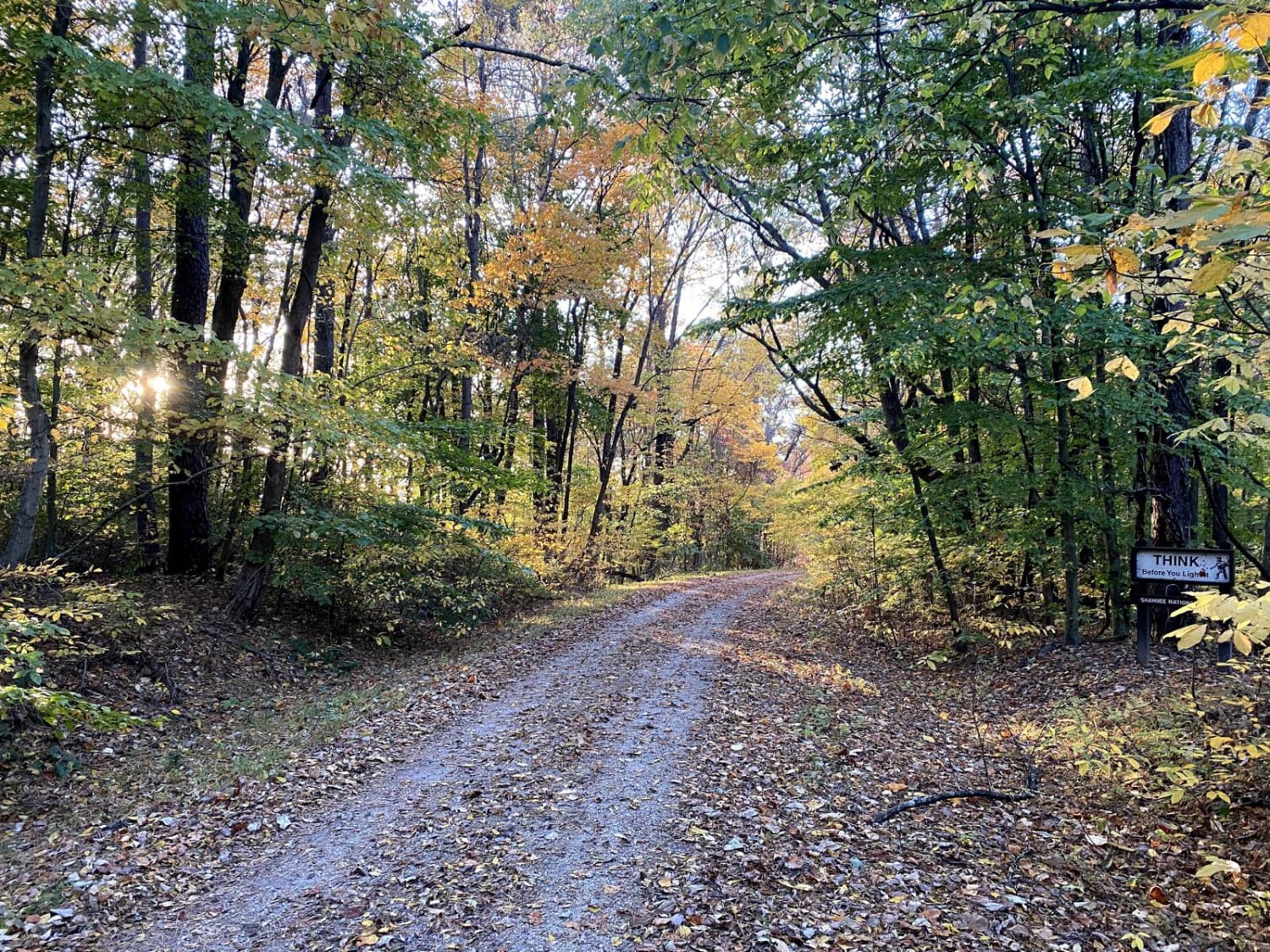
Gale Trail Road FSR 272
Total Miles
2.9
Tech Rating
Moderate
Best Time
Spring, Fall
Learn more about Goose Ridge Trail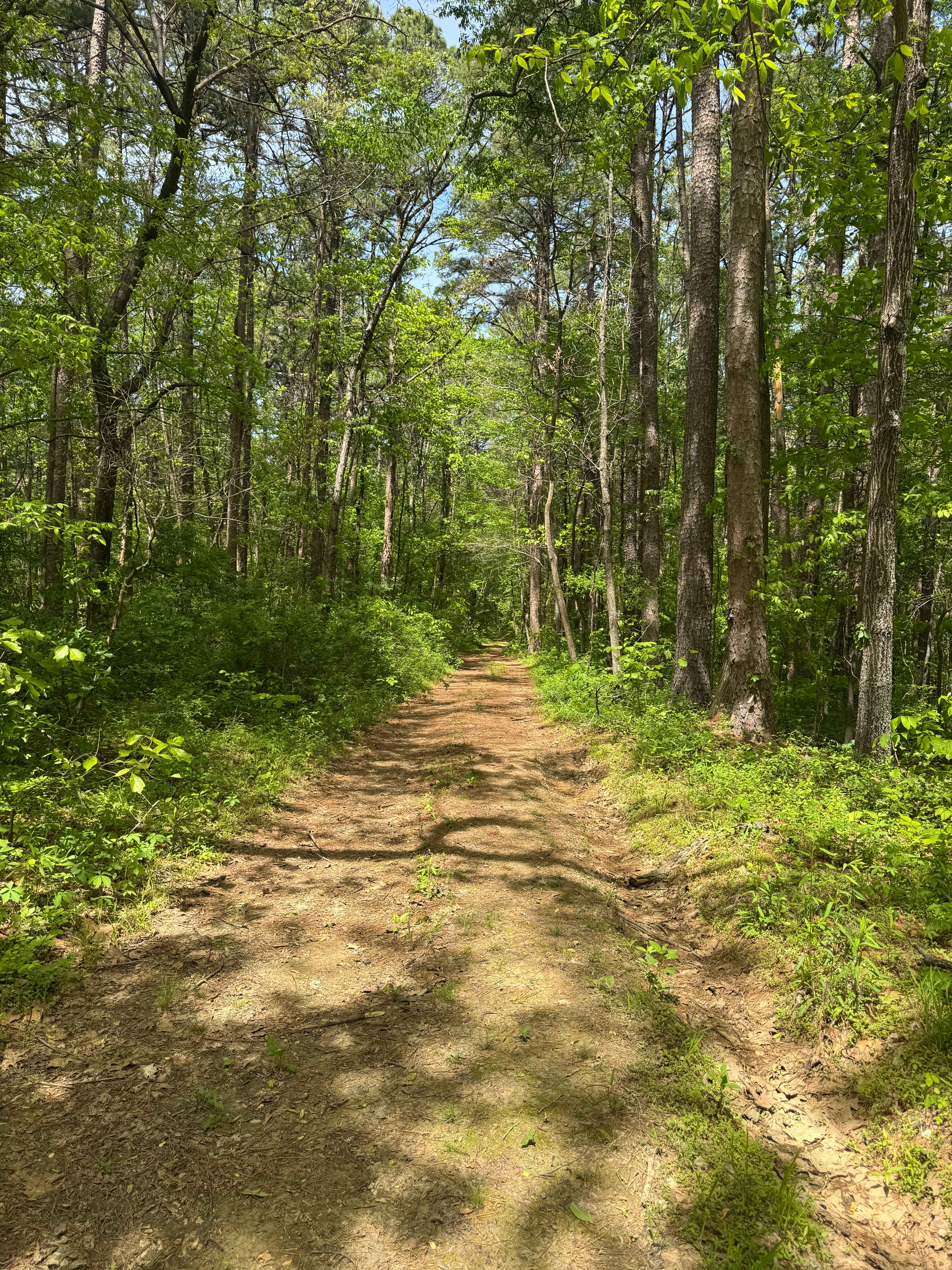
Goose Ridge Trail
Total Miles
1.7
Tech Rating
Easy
Best Time
Spring, Summer, Fall
Learn more about Grandpa's Getaway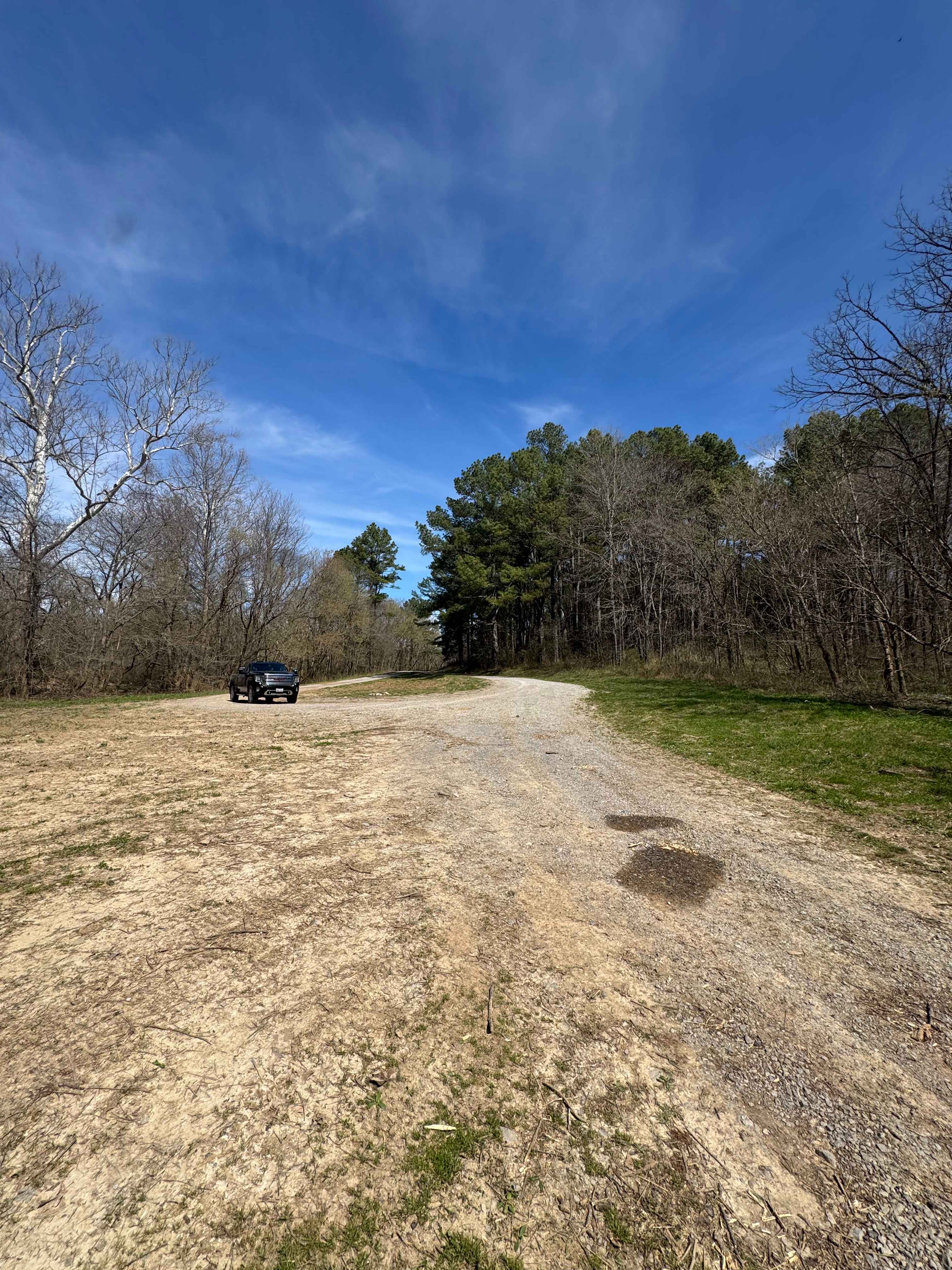
Grandpa's Getaway
Total Miles
0.2
Tech Rating
Easy
Best Time
Spring, Summer, Fall
Learn more about Happy Hollow FSR 787
Happy Hollow FSR 787
Total Miles
1.7
Tech Rating
Easy
Best Time
Spring, Summer, Fall, Winter
Learn more about Hickory Point Boat Ramp - FS 871
Hickory Point Boat Ramp - FS 871
Total Miles
1.0
Tech Rating
Easy
Best Time
Fall, Summer, Spring
Learn more about High Knob Trail
High Knob Trail
Total Miles
1.7
Tech Rating
Easy
Best Time
Spring, Summer, Fall
Learn more about Honey School Road SFR 656/656C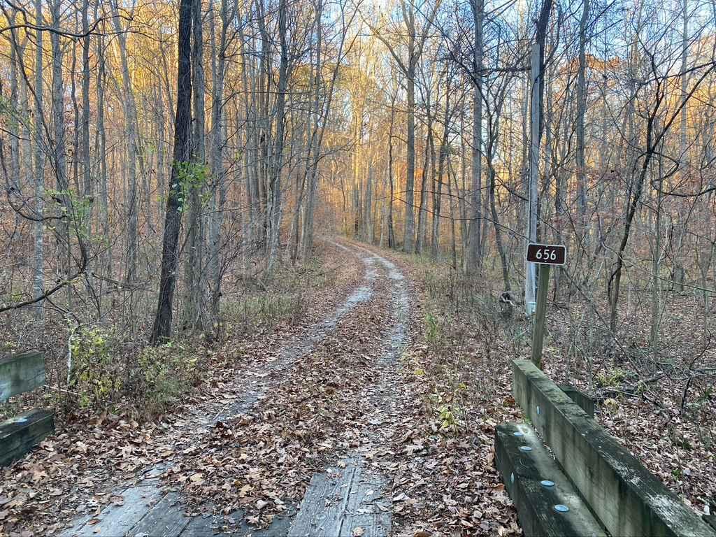
Honey School Road SFR 656/656C
Total Miles
1.9
Tech Rating
Moderate
Best Time
Spring, Fall, Summer
Learn more about Lake Of Egypt Campground Drive - FS 871A
Lake Of Egypt Campground Drive - FS 871A
Total Miles
3.2
Tech Rating
Easy
Best Time
Spring, Fall
Learn more about LaRue Road - FS 345
LaRue Road - FS 345
Total Miles
2.9
Tech Rating
Easy
Best Time
Spring, Summer, Fall, Winter
Learn more about Lingle Creek Road
Lingle Creek Road
Total Miles
2.8
Tech Rating
Easy
Best Time
Spring, Fall, Summer, Winter
Learn more about Little Egypt Off-Road OHV Park Entrance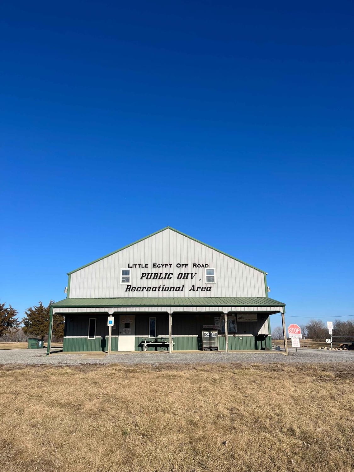
Little Egypt Off-Road OHV Park Entrance
Total Miles
0.5
Tech Rating
Easy
Best Time
Summer
Learn more about Millstone Bluffs Trailhead
Millstone Bluffs Trailhead
Total Miles
0.7
Tech Rating
Easy
Best Time
Spring, Summer, Fall
ATV trails in Illinois

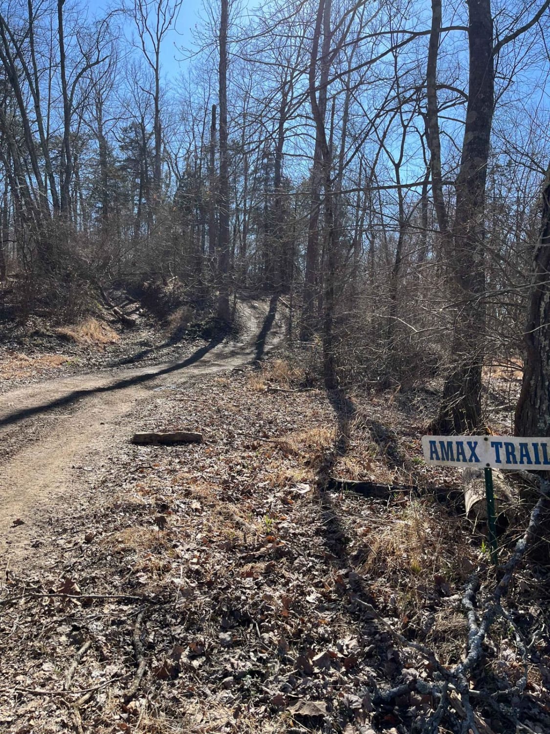
Learn more about Bull Durham SFR 642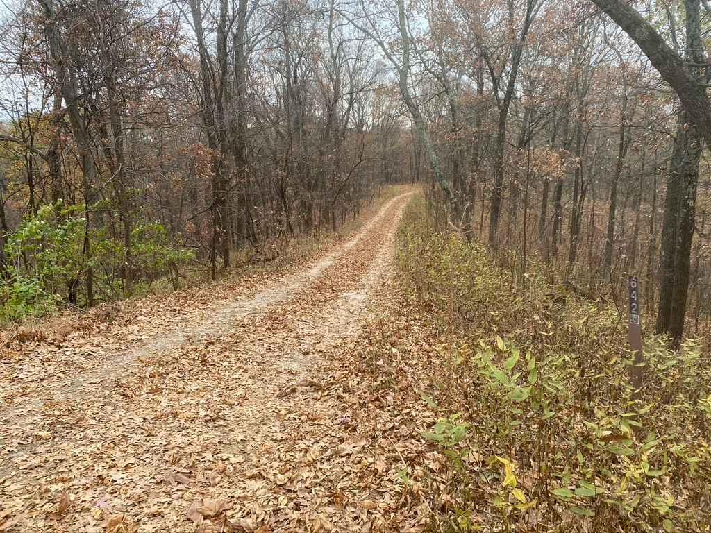
Bull Durham SFR 642
Total Miles
0.9
Tech Rating
Moderate
Best Time
Spring, Fall
Learn more about East Field Access Trail
East Field Access Trail
Total Miles
0.7
Tech Rating
Easy
Best Time
Summer
UTV/side-by-side trails in Illinois
Learn more about Atwood Road SFR 266
Atwood Road SFR 266
Total Miles
1.6
Tech Rating
Easy
Best Time
Spring, Fall
Learn more about Bull Durham SFR 642
Bull Durham SFR 642
Total Miles
0.9
Tech Rating
Moderate
Best Time
Spring, Fall
The onX Offroad Difference
onX Offroad combines trail photos, descriptions, difficulty ratings, width restrictions, seasonality, and more in a user-friendly interface. Available on all devices, with offline access and full compatibility with CarPlay and Android Auto. Discover what you’re missing today!