Lingle Creek Road
Total Miles
2.8
Technical Rating
Best Time
Spring, Fall, Summer, Winter
Trail Type
Full-Width Road
Accessible By
Trail Overview
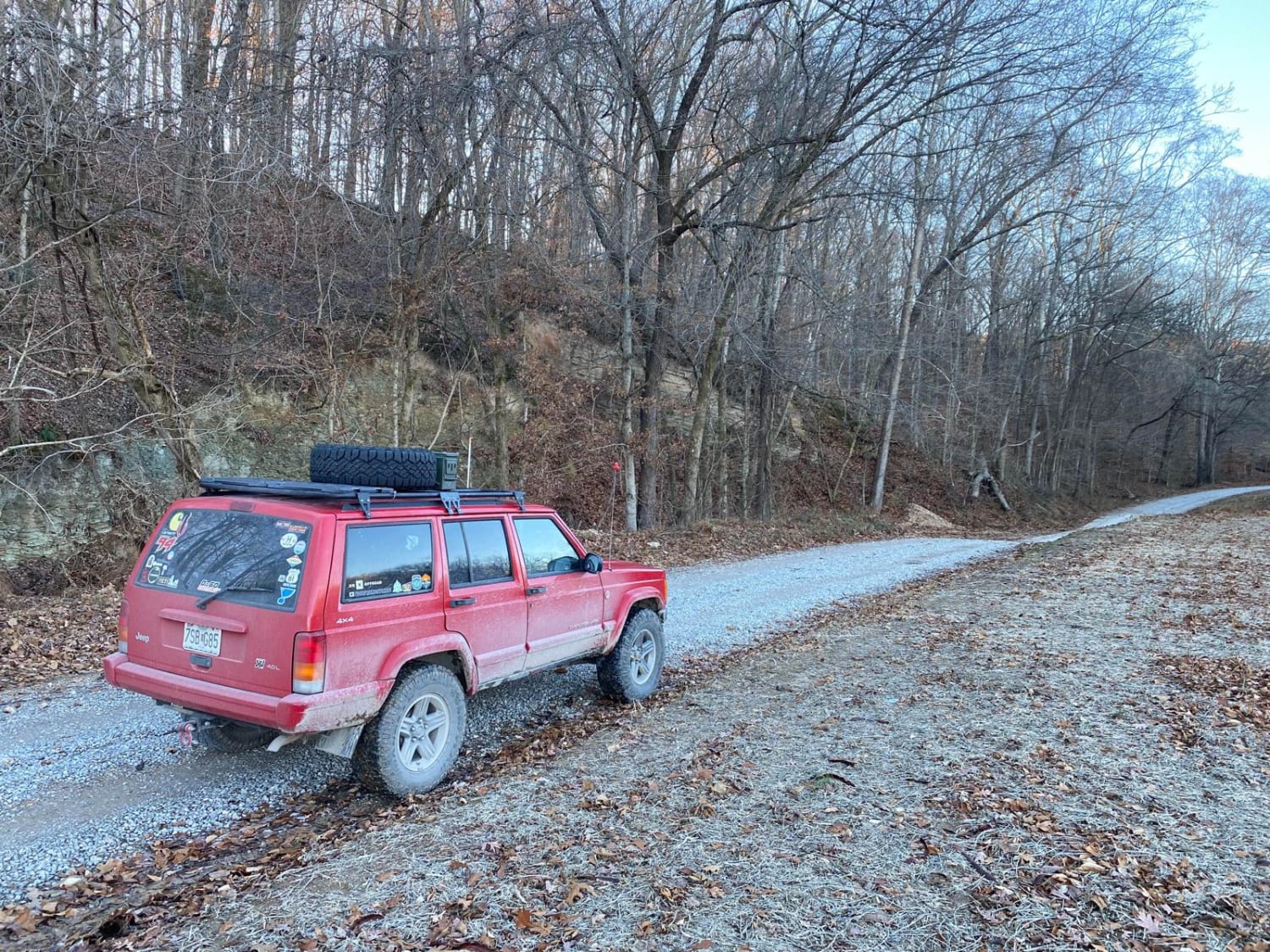
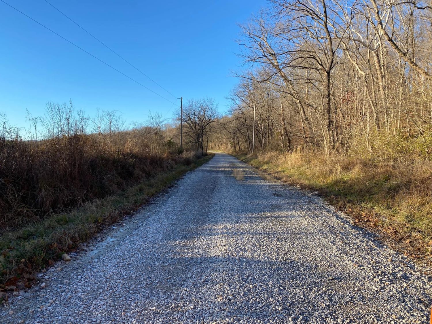
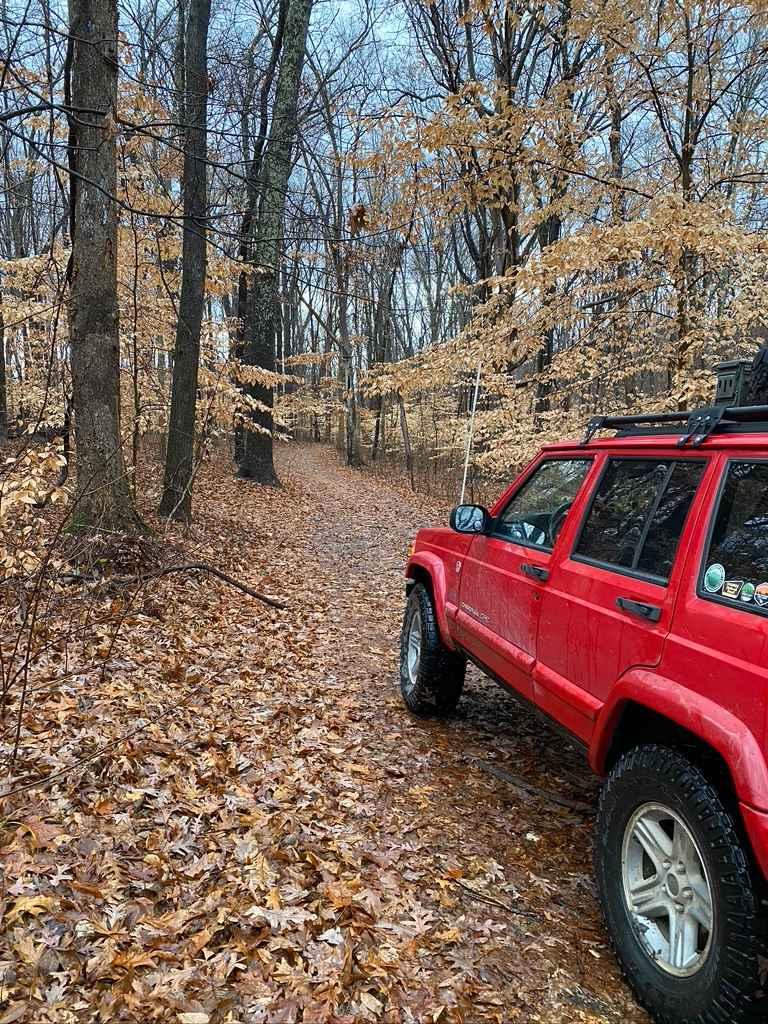
Lingle Creek Road is a road through the Southern Central Illinois landscape. Clocking in at 3.6 miles the road parallels Lingle Creek as it etches into the country hillsides and farmland of the area. The road features two low-water bridges that could see flash flooding during heavy rain. The road also leads you to Silica Hill Road connecting you to the more thrilling trails in the area. Be prepared for small water collection areas, potholes, mild washboarding, and mounding.
Photos of Lingle Creek Road
Difficulty
A lesser maintained gravel road paralleling a creek, difficulties expected are potential low water bridge crossings, small water collection areas, potholes, mild washboarding and mounding.
Status Reports
Lingle Creek Road can be accessed by the following ride types:
- High-Clearance 4x4
- SUV
- SxS (60")
Lingle Creek Road Map
Popular Trails
Atwood Road SFR 266
High Knob Trail
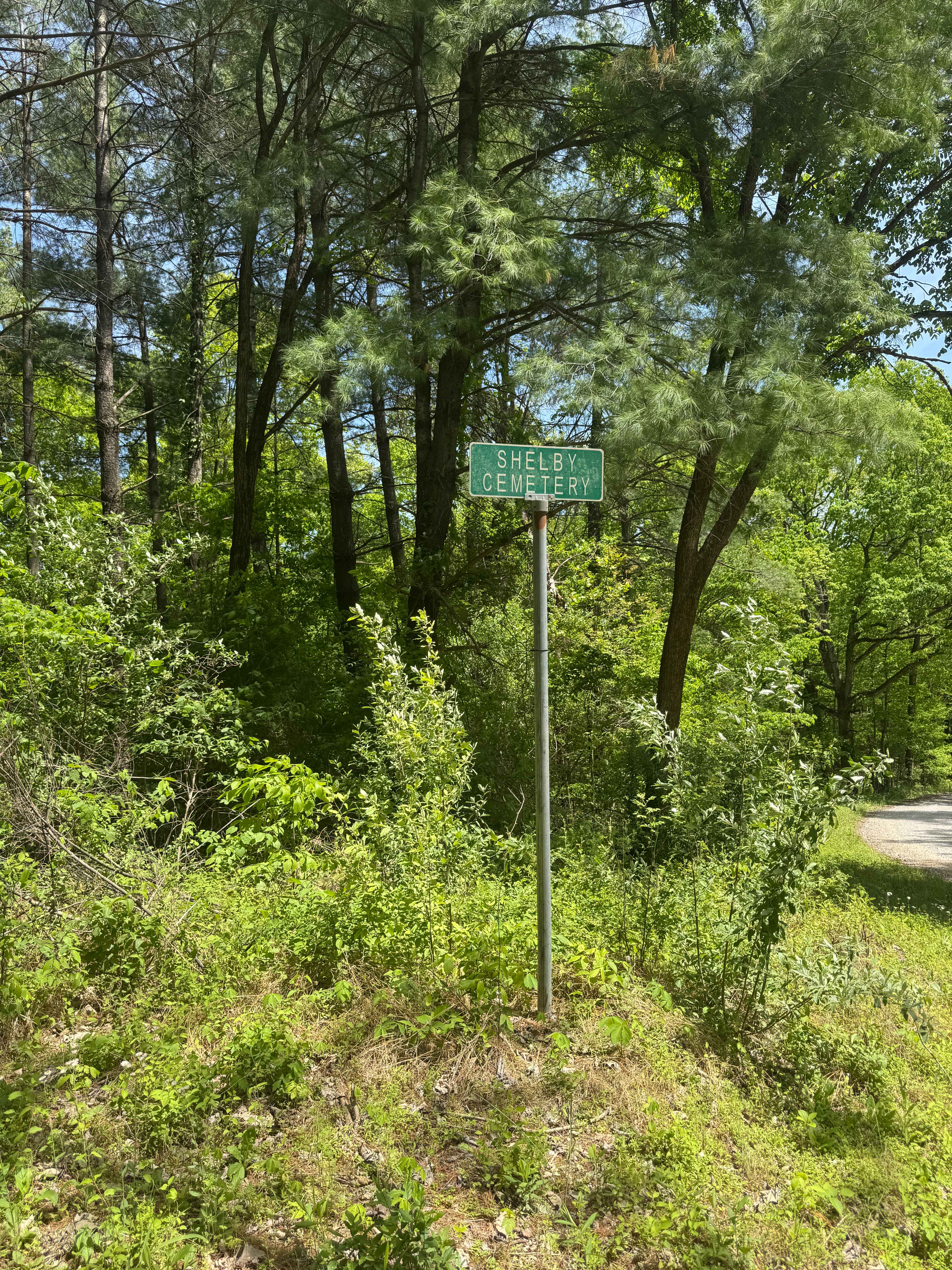
Shelby Cemetery Trail
West Silica Hill Road
The onX Offroad Difference
onX Offroad combines trail photos, descriptions, difficulty ratings, width restrictions, seasonality, and more in a user-friendly interface. Available on all devices, with offline access and full compatibility with CarPlay and Android Auto. Discover what you’re missing today!