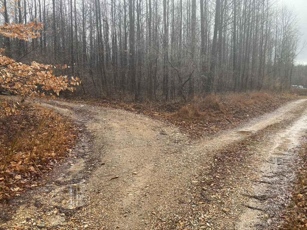
West Silica Hill Road
Total Miles
1.3
Technical Rating
Best Time
Spring, Fall, Summer
Trail Type
High-Clearance 4x4 Trail
Accessible By
Trail Overview
The West Silica Hill Access Road is known locally as a western access point to the Rock Top "Pipeline" SFR 233 and Silica Hill Road SFR 645. It is made of course gravel at base, traversing over a couple steep hills, featuring, a creek crossing, loose rock, water collection spots, ruts and dirt/mud. When headed east you will climb two steep grades, and trek down one. The steepest grade corners and snakes though tight trees, while throwing ruts and slick dirt into the mix.
Photos of West Silica Hill Road
Difficulty
Rutting, loose gravel, steep hills, slick fallen leaves, tight trees, water collection spots, need I say more. The route description says it best.
Status Reports
West Silica Hill Road can be accessed by the following ride types:
- High-Clearance 4x4
West Silica Hill Road Map
Popular Trails
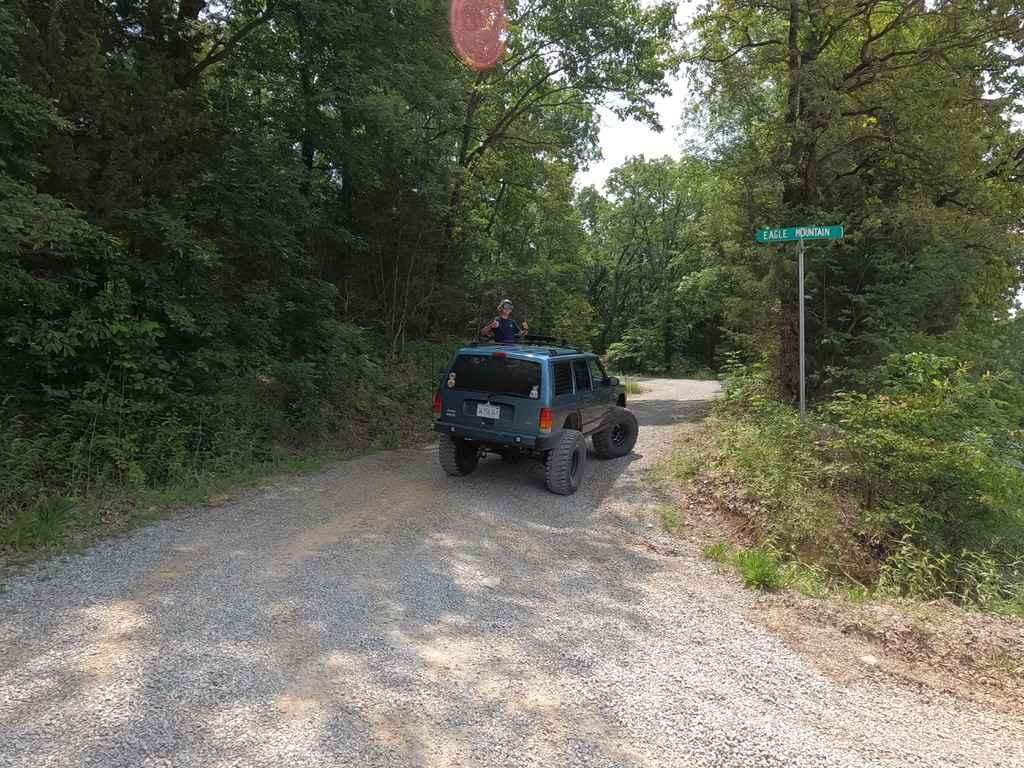
Eagle Mountain Fire Road

Burner Hill FSR 620

South Hitching Post - FS 1454
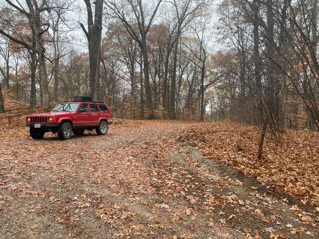
Hamburg SFR 266A
The onX Offroad Difference
onX Offroad combines trail photos, descriptions, difficulty ratings, width restrictions, seasonality, and more in a user-friendly interface. Available on all devices, with offline access and full compatibility with CarPlay and Android Auto. Discover what you’re missing today!
