Olive Branch Road
Total Miles
4.6
Technical Rating
Best Time
Fall
Trail Type
Full-Width Road
Accessible By
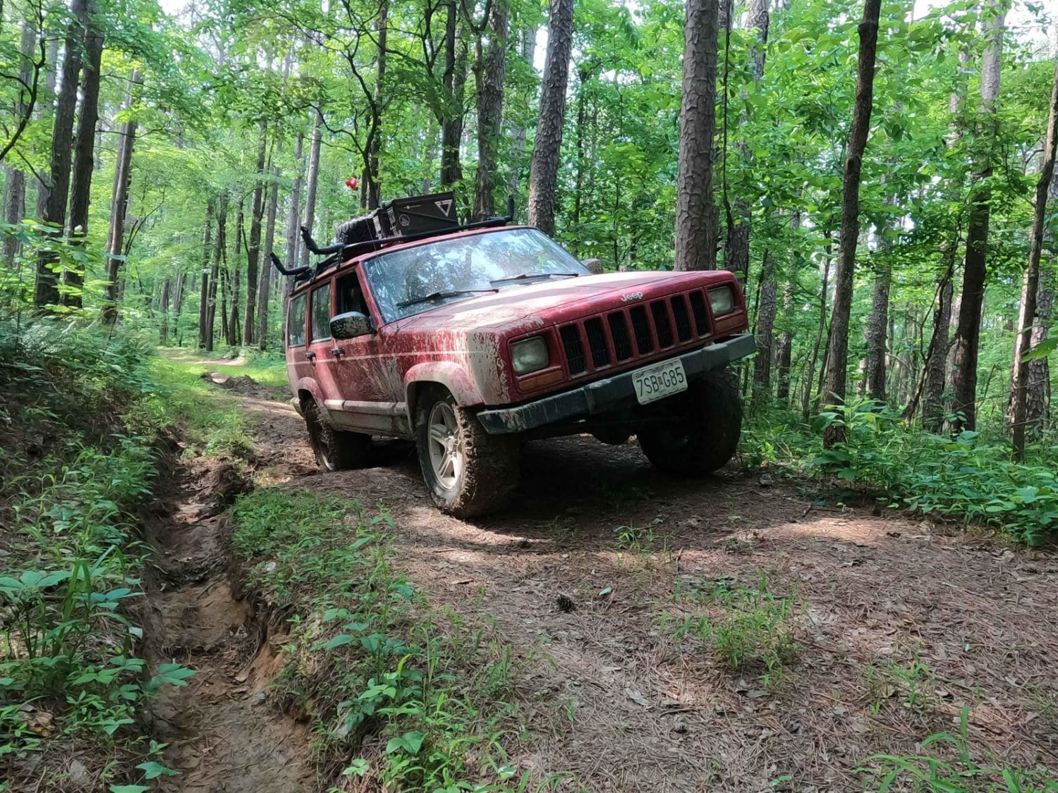
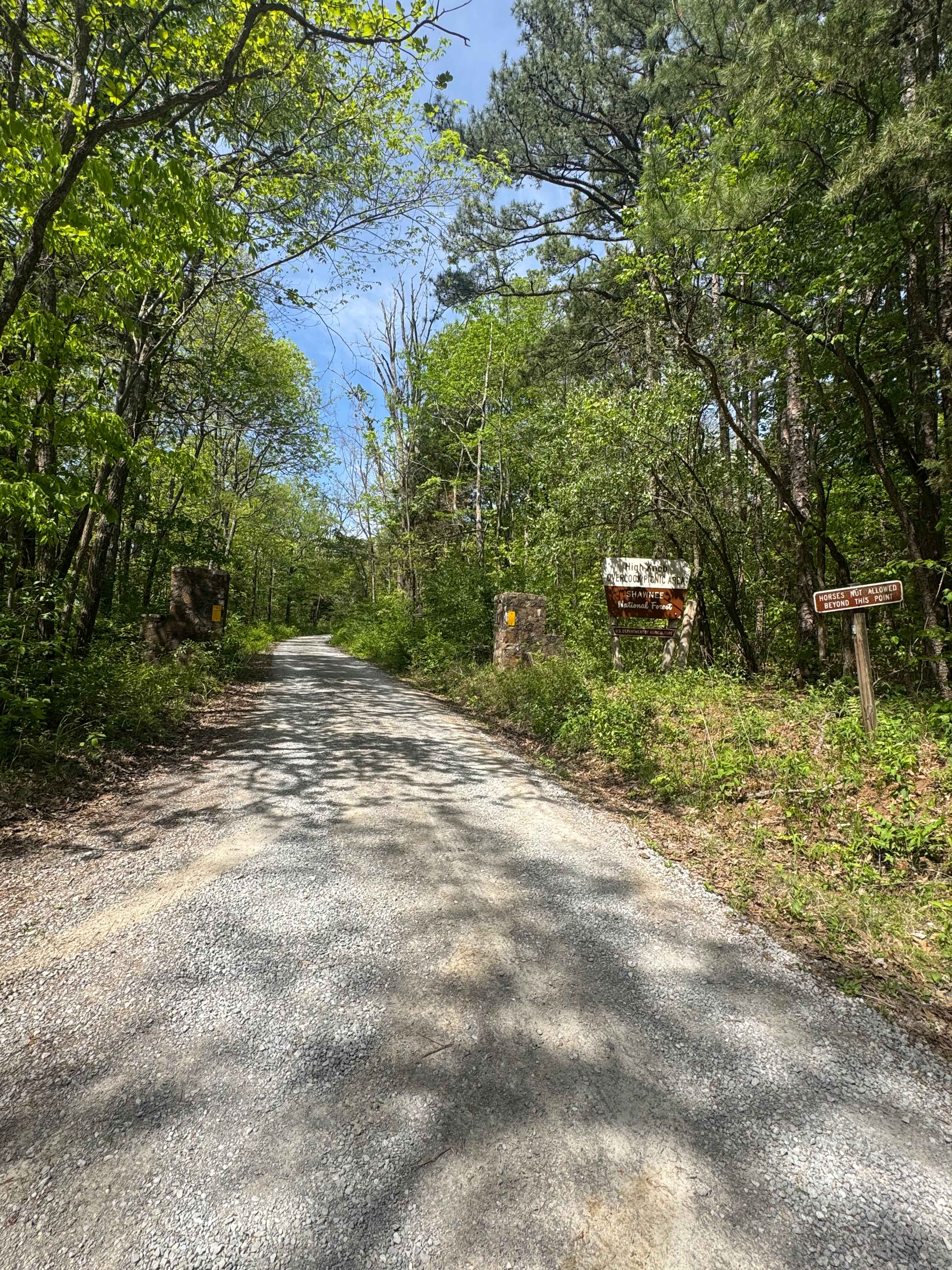
Trail Overview
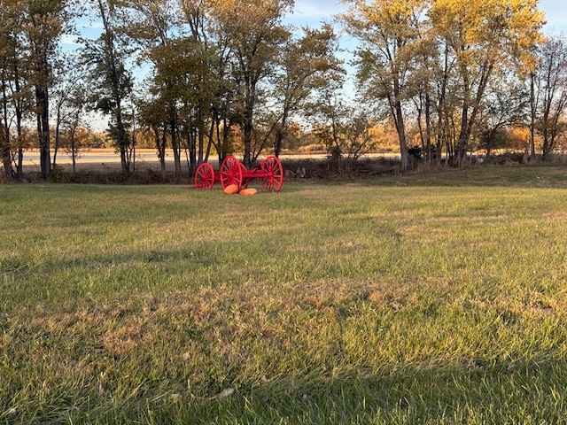
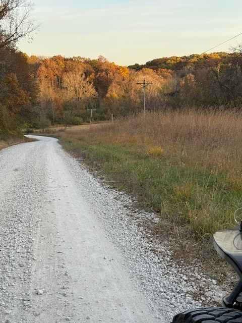
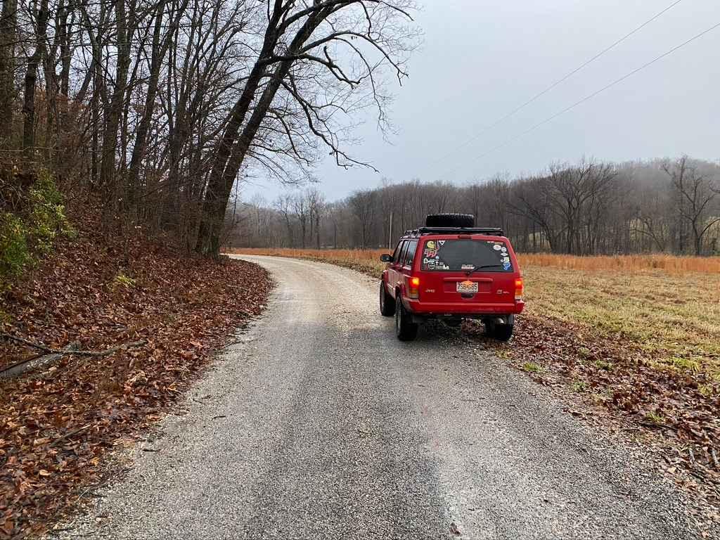
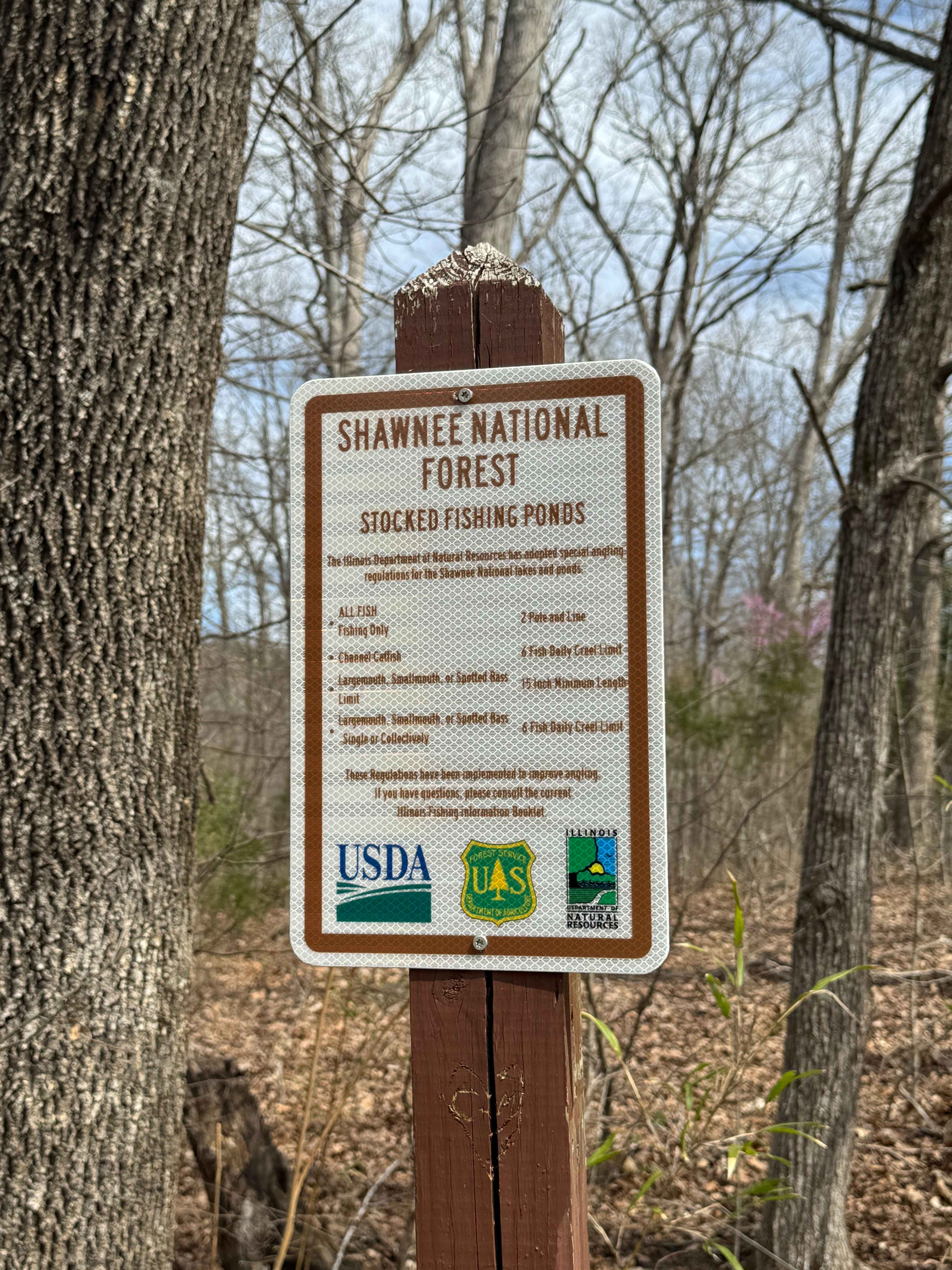
Olive Branch is a rock road through some beautiful countryside starting just north of Virginia, Illinois, and ending at Jim Edgar Panther Creek State Fish and Wildlife Area. No, it is not the Ozarks or Moab, but we have a lot of flat ground here in Illinois, so this is a good change. When you first enter from Route 78, it looks like every other gravel road. Half a mile, you feel like you're in a different world with high hillsides and winding creeks to Prairie Grass. You normally don't have to look hard to see wildlife on either side of the road. The best time to go is in the fall with an abundance of color.
Photos of Olive Branch Road
Difficulty
Stock vehicles will be okay. The trail is mostly gravel except for a short quarter mile of hard pavement.
Olive Branch Road can be accessed by the following ride types:
- SUV
Olive Branch Road Map
Popular Trails
East Delta Road
Dutchman Lake Trail
Dennison FSR 106
High Knob Trail
The onX Offroad Difference
onX Offroad combines trail photos, descriptions, difficulty ratings, width restrictions, seasonality, and more in a user-friendly interface. Available on all devices, with offline access and full compatibility with CarPlay and Android Auto. Discover what you’re missing today!