Dennison FSR 106
Total Miles
1.5
Technical Rating
Best Time
Summer, Fall
Trail Type
High-Clearance 4x4 Trail
Accessible By
Trail Overview
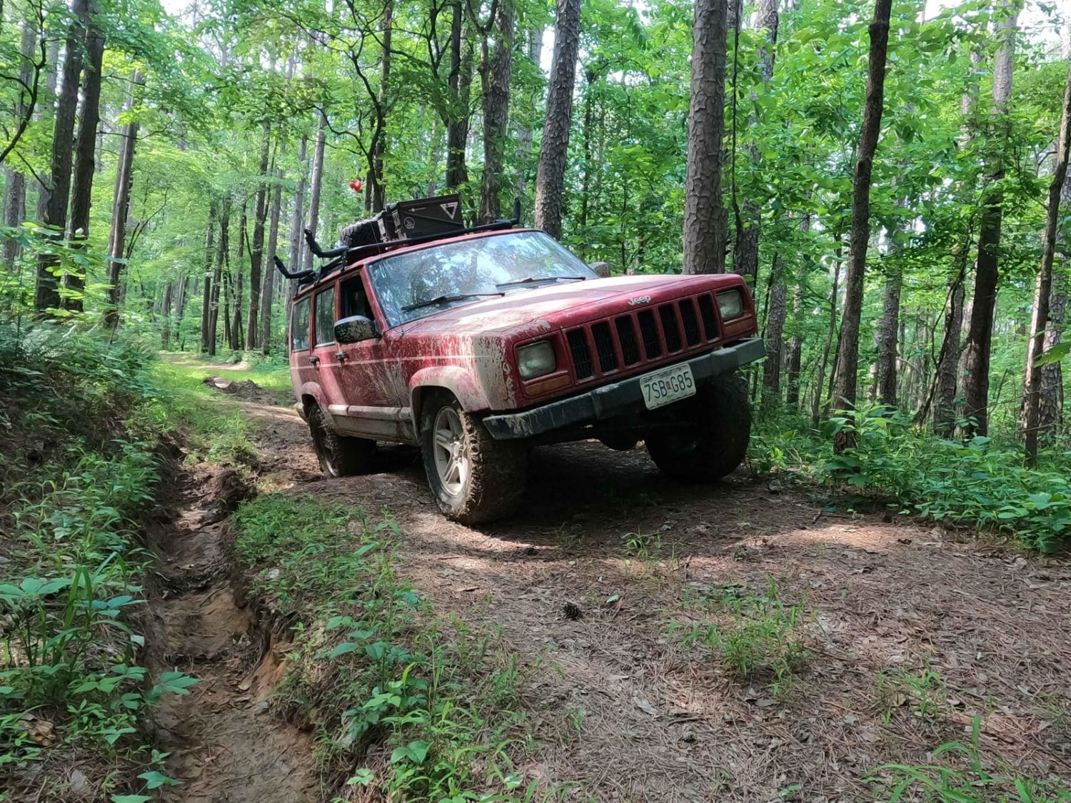
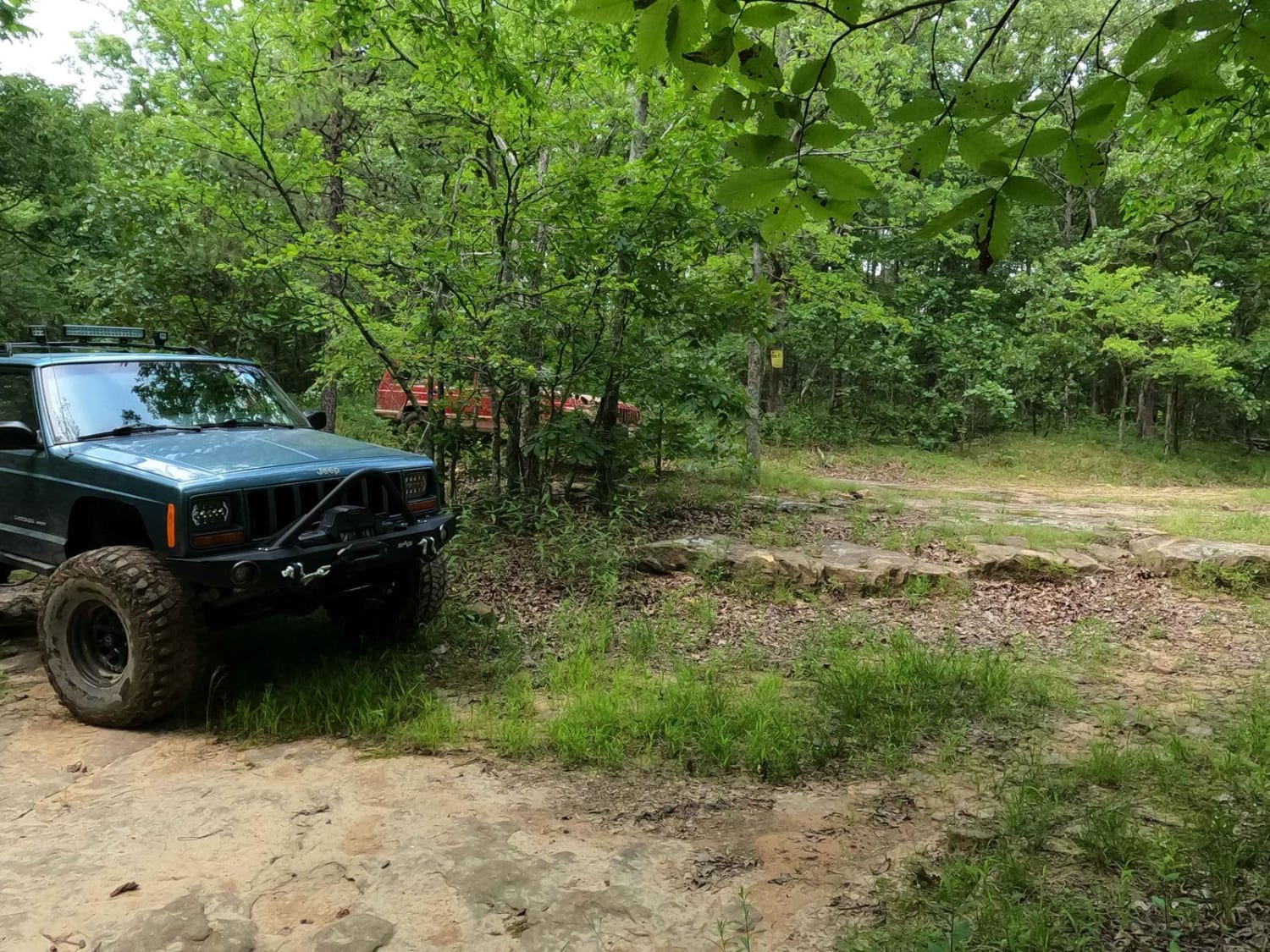
The Dennison FSR 106 is a naturally surfaced forestry road through the Eagle Mountain Area in the Hidden Springs sector of Shawnee National Forest. Note this trail is closed seasonally between 12/9/XX through 5/9/XX. The road is mostly dirt throughout, that is if you catch it in a dry spell, if not be ready for a mud haven full of holes ranging from small tire-wide ruts, all the way through the spectrum to 4-foot plus, but if you take your time to scout out the muddy sections, you can bypass a lot of this and only hit a few foot deep sections at minimum. The mud in the area is heavily shaded and rarely drys out or solidifies back into a drivable surface, and has the consistency of peanut butter and in some spots seems to have no bottom. There are also a few small rock ledges and course natural rock sections scattered in small sections of this trail, so don't count them out of the equation. All in all, a fun and challenging road of mud and tight tolerances amongst the trees, slowly walking its way uphill (east to west) to the ending point of the Horton Hill triangle at 37.64286, -88.43848, where this meets the North and South sections of the Hitching Post trail.
Photos of Dennison FSR 106
Difficulty
Firstly, not stock friendly, second bring a friend, at minimum have several ways to recover yourself, a winch, tree saver, and tow rope at minimum should be on your vehicle for this trail, recommend, lockers, 32"+ tire size with plenty of flex and articulation. The difficulty of this trail is all gauged by the mud holes, this is one of few trails I will rate more in favor of the best practiced average lines, versus the hardest the trail has. In detail the 4/10 as a base rating is based on what you must go through to complete the trail end to end, being 18" mud holes at a minimum on the trail, but note that this trail has optional mud holes that could range all the way up easily to 7/10 territory, being 3-4+ foot deep, with dirt walls on either side up to the roof line of an average 4WD. Just note these holes are filled with water on top of peanut butter consistency mud that seemingly has no bottom to them. Momentum is your only hope for most of these holes, and my advice is just to hit what you are willing to probe well with a stick and what you know you are comfortable attempting. As for the other parts of the trail, you will experience off-camber sections as you navigate tight trees, and may encounter unearthed rock shelves up to a foot tall. The difficulty will only increase the more wet conditions are in the area.
Status Reports
Dennison FSR 106 can be accessed by the following ride types:
- High-Clearance 4x4
Dennison FSR 106 Map
Popular Trails
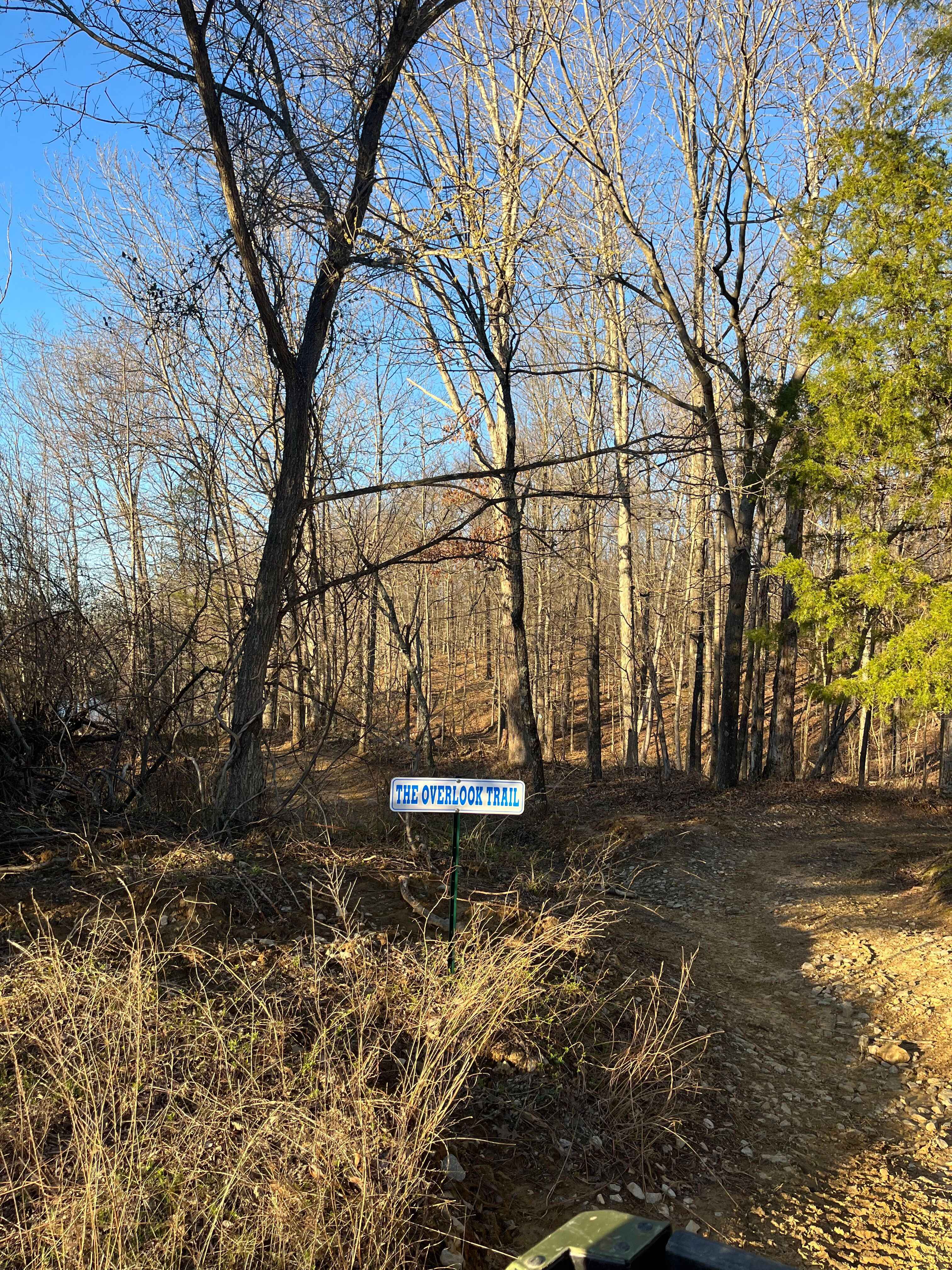
Overlook Trail
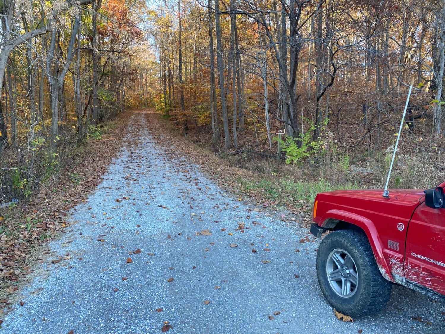
McCraven SFR 220
The onX Offroad Difference
onX Offroad combines trail photos, descriptions, difficulty ratings, width restrictions, seasonality, and more in a user-friendly interface. Available on all devices, with offline access and full compatibility with CarPlay and Android Auto. Discover what you’re missing today!