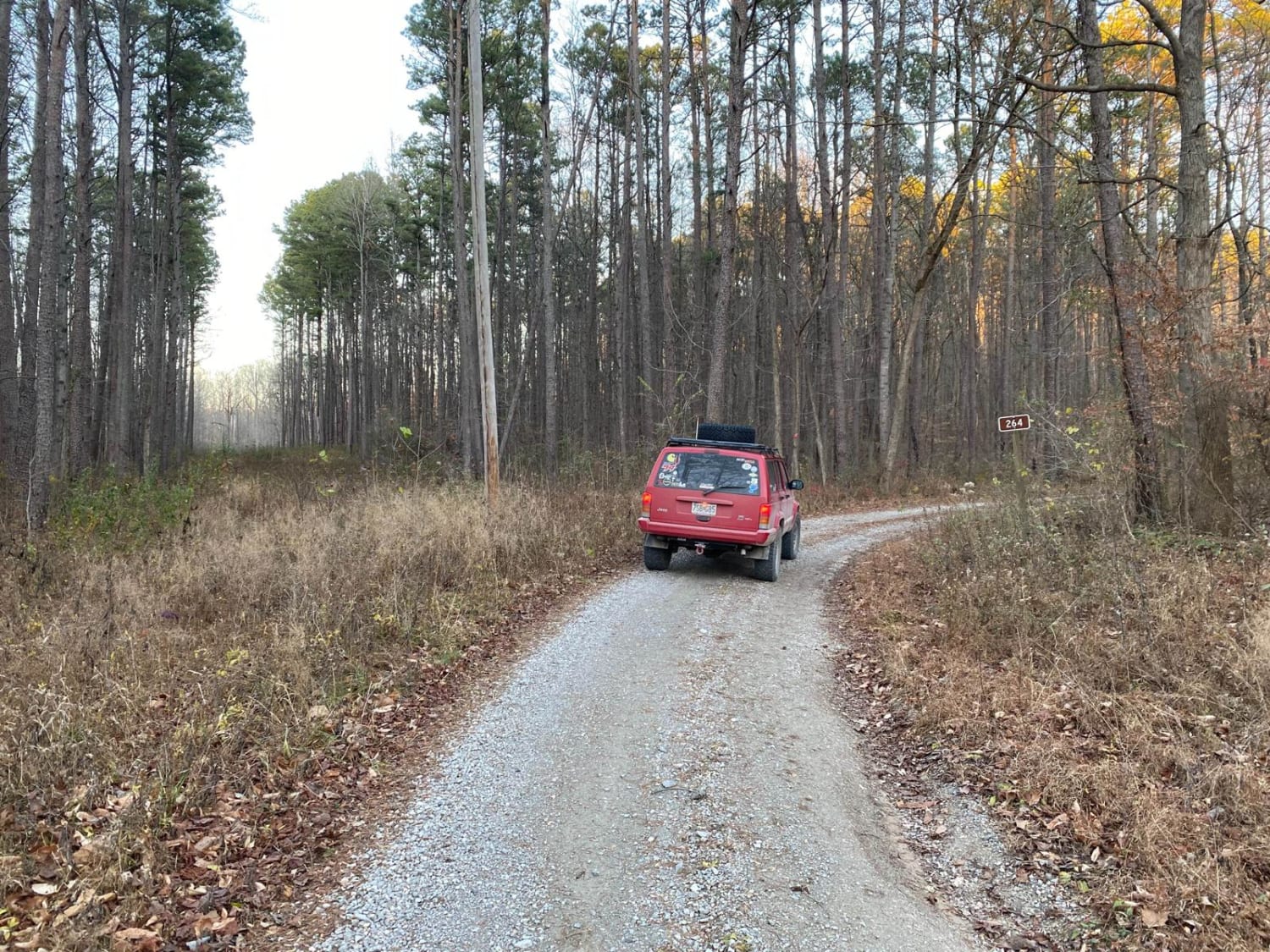
Grabber SFR 264
Total Miles
1.7
Technical Rating
Best Time
Spring, Fall
Trail Type
Full-Width Road
Accessible By
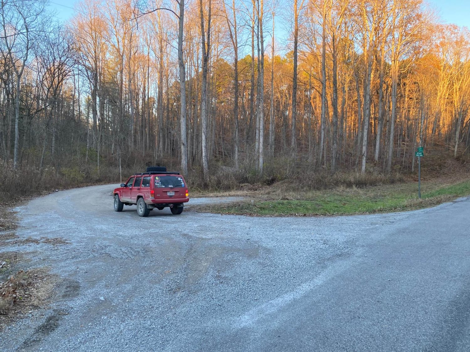
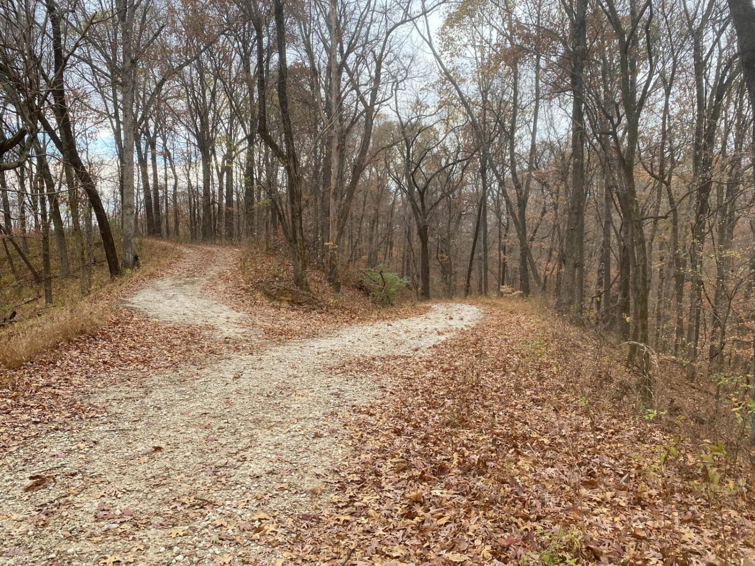
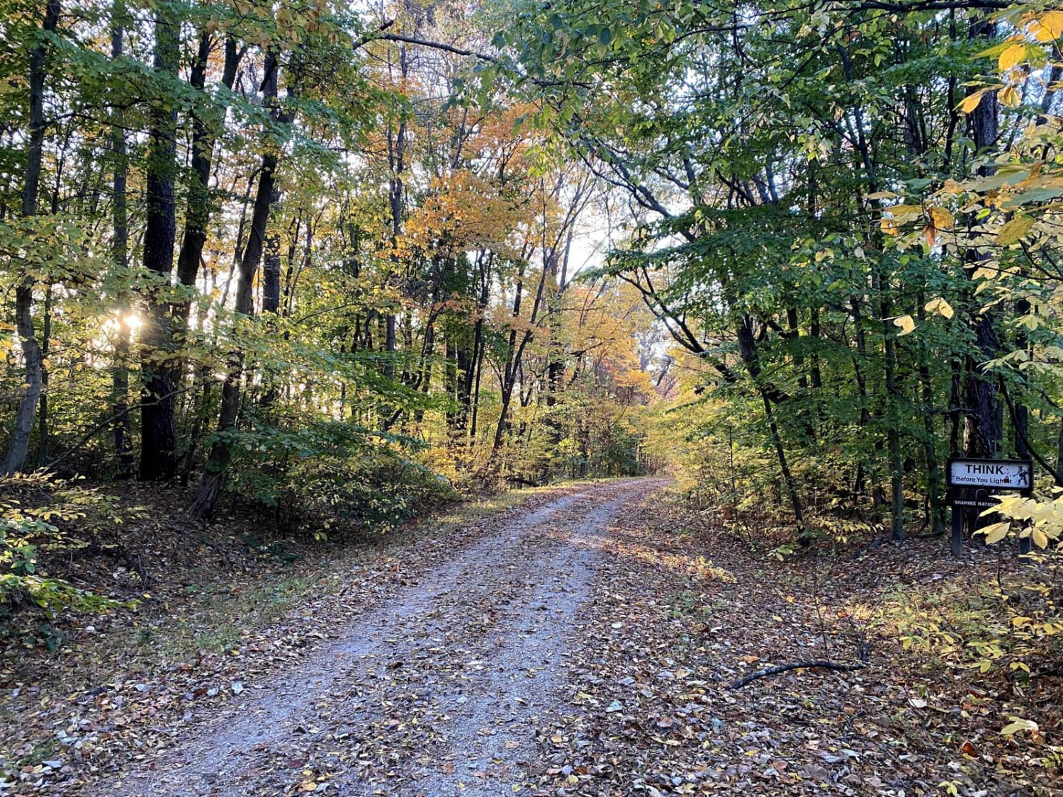
Trail Overview
Grabber SFR 264 is a 1.7-mile-long forestry road through Shawnee National Forest. It traverses some of the steepest graveled hills in the SW corner of the forest, climbing a total of 406 feet from its entry point to its highest point. It has mild rutting on nearly all inclines, some being medium in depth and at certain spots, the road becomes mostly dirt. The road is mostly free of tree growth interfering with vehicular travel and is plenty wide for those needing width. The views at the top in the fall are some of the best in the area. The difficulty only increases with rain and wet conditions.
Photos of Grabber SFR 264
Difficulty
The steep grades being paired with rutting consistently going up most hills is the biggest difficulty, it is soft in the ruts and momentum is key, especially if the hill were to be wet.
Grabber SFR 264 can be accessed by the following ride types:
- High-Clearance 4x4
- SUV
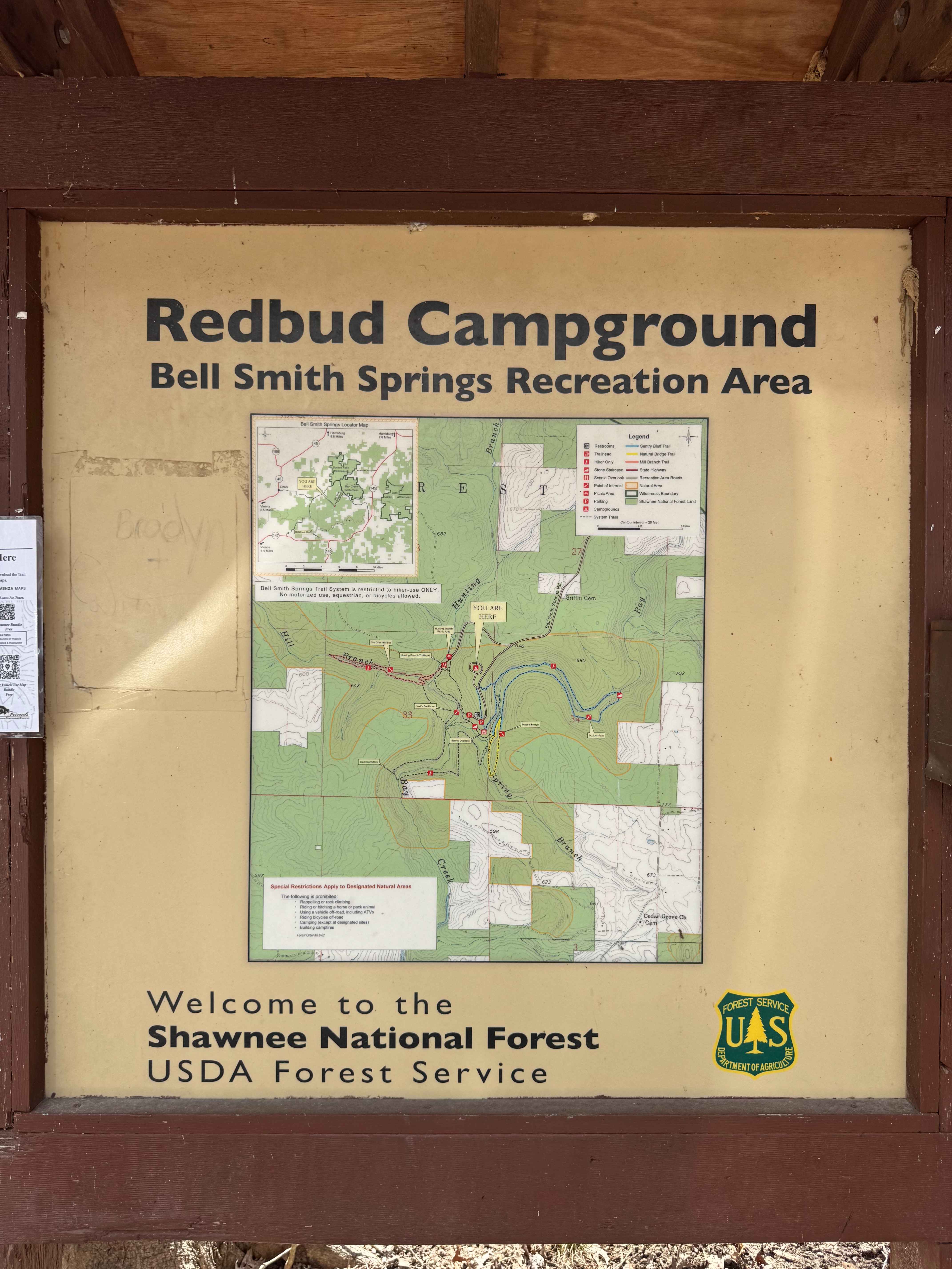
Grabber SFR 264 Map
Popular Trails
Turkey Trot SFR 627/643
Tower Rock Road PCR 460
Gale Trail Road FSR 272
Bell Smith Spring Hiking Area
The onX Offroad Difference
onX Offroad combines trail photos, descriptions, difficulty ratings, width restrictions, seasonality, and more in a user-friendly interface. Available on all devices, with offline access and full compatibility with CarPlay and Android Auto. Discover what you’re missing today!