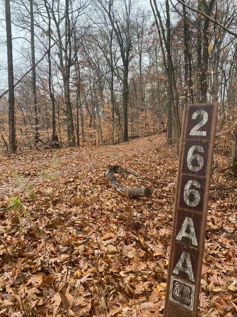
Wamble Mountain Spur Road - FS 707A
Total Miles
0.3
Technical Rating
Best Time
Summer, Fall, Spring
Trail Type
Full-Width Road
Accessible By
Trail Overview
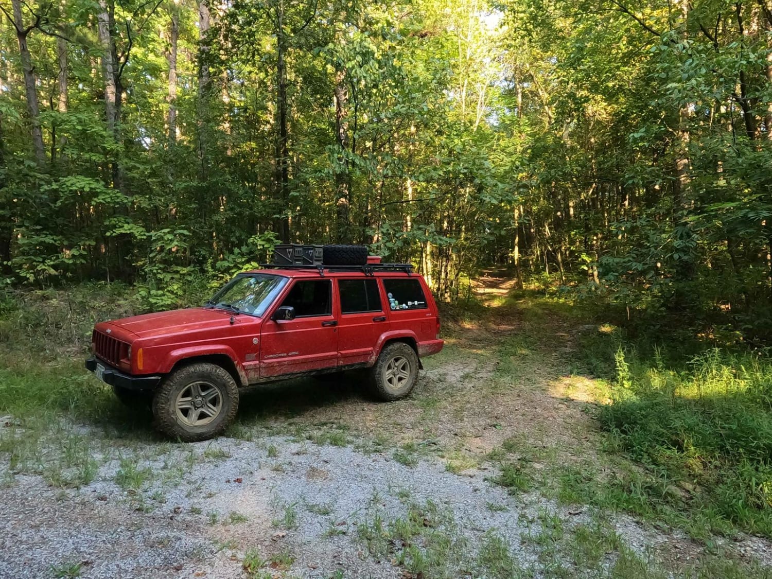
Wamble Mountain Spur Road FS 707A is a natural-improved trail in Shawnee National Forest near the Eagle Mountain area, within the Hidden Springs Sector. The FS 707A is best described as your uncle's secret hunting road; few know about it, and the entrance gives the vibe that no one uses it. However, its location and the uniqueness of the area resonate and suggest it is someone's gem and beloved spot. It comes with its thrill of getting to the shaded valley where a dormant creek exists but shows signs of rainwater runoff from Eagle Mountain and Horton Hill. There is just a feeling of peace that exists back here, yielding a desire to come back and camp. The trail features a natural path, with mild mud/water collection spots, tree roots becoming obstacles, and ruts testing your suspension and tire placement. Overall, it is a fun and memorable road despite its short length. Note the closure dates of 12/9 to 5/9 annually.
Photos of Wamble Mountain Spur Road - FS 707A
Difficulty
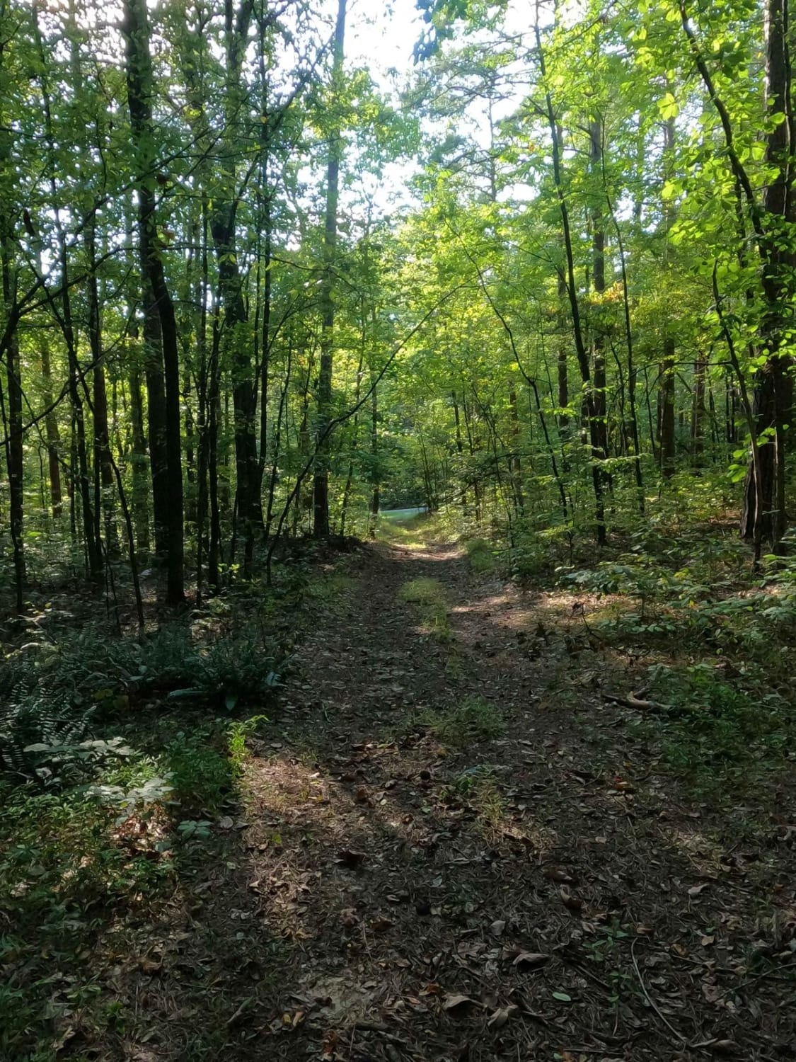
The FS 707A is a tight natural road back into the feeder creek bottoms that are fed from Eagle Mountain and Horton Hill area. The natural parts of the road involve a dirt base, potential mud, water collection holes, mild ruts, climbing over tree root ledges that are in the 12-inch range, and mild grades throughout. After the midway point of the trail, the road narrows dramatically, so watch the perimeter of the vehicle for clear passage around trees and fallen logs. The larger the vehicle, the harder the trail will be. There's high potential for the use of multi-point turns to get through some of these tight squeezes. At the end, the trail opens up to loose rock feeder creek bottoms, shaded by sparsely placed trees. Watch tire placement for deep washes and loose, potentially soupy, coarse natural rock. The trail is given a 3/10 base rating, mainly for the spot where it is required to climb a 12-inch-tall tree root ledge while going uphill. In addition, close attention is required to thread the needle through the trees. It is advised not to take a large full-sized vehicle or wide-stance rig on this trail despite the USFS allowing it, and to only go in a small group of 4, tops.
Status Reports
Wamble Mountain Spur Road - FS 707A can be accessed by the following ride types:
- High-Clearance 4x4
- SUV
Wamble Mountain Spur Road - FS 707A Map
Popular Trails
Bell Smith Spring Hiking Area
Eagle Mountain Fire Road
Benham Hill Trail
N Hamburg Hill Spur
The onX Offroad Difference
onX Offroad combines trail photos, descriptions, difficulty ratings, width restrictions, seasonality, and more in a user-friendly interface. Available on all devices, with offline access and full compatibility with CarPlay and Android Auto. Discover what you’re missing today!