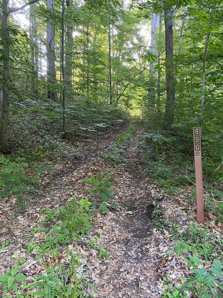
Diswood FSR 690
Total Miles
0.7
Technical Rating
Best Time
Summer, Fall
Trail Type
High-Clearance 4x4 Trail
Accessible By
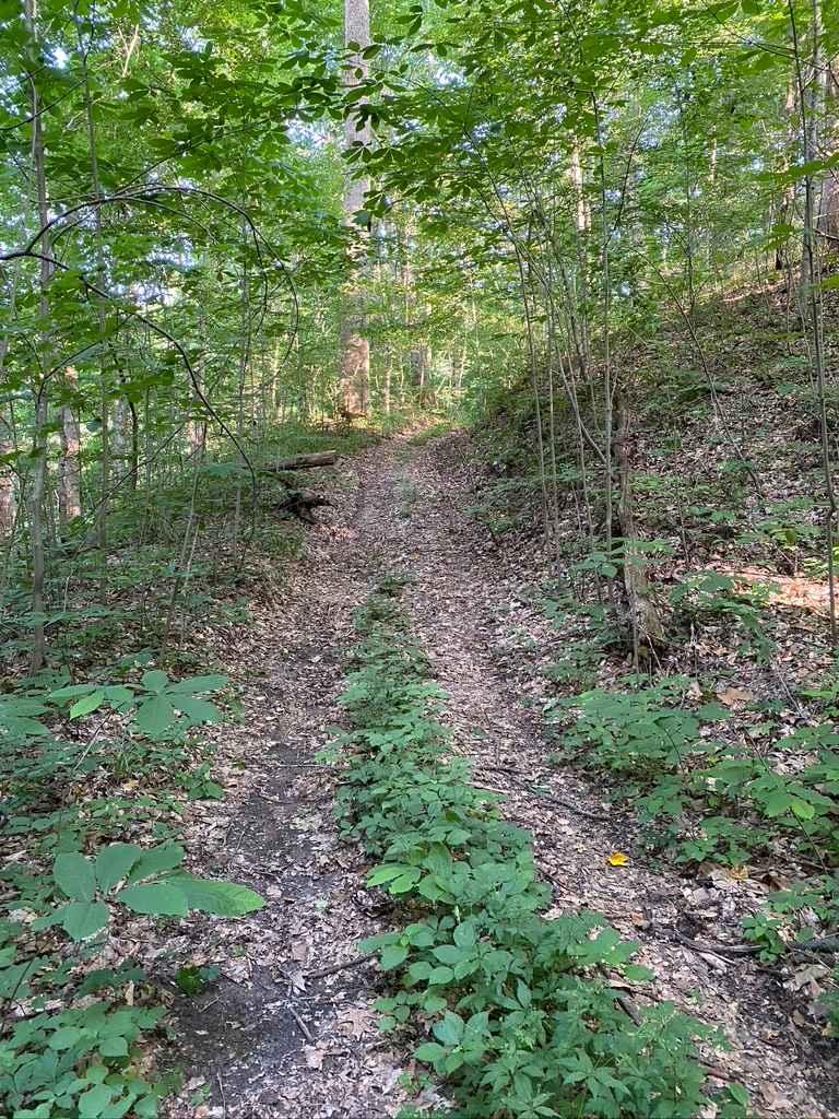
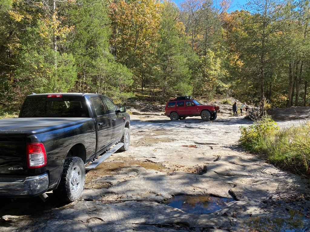
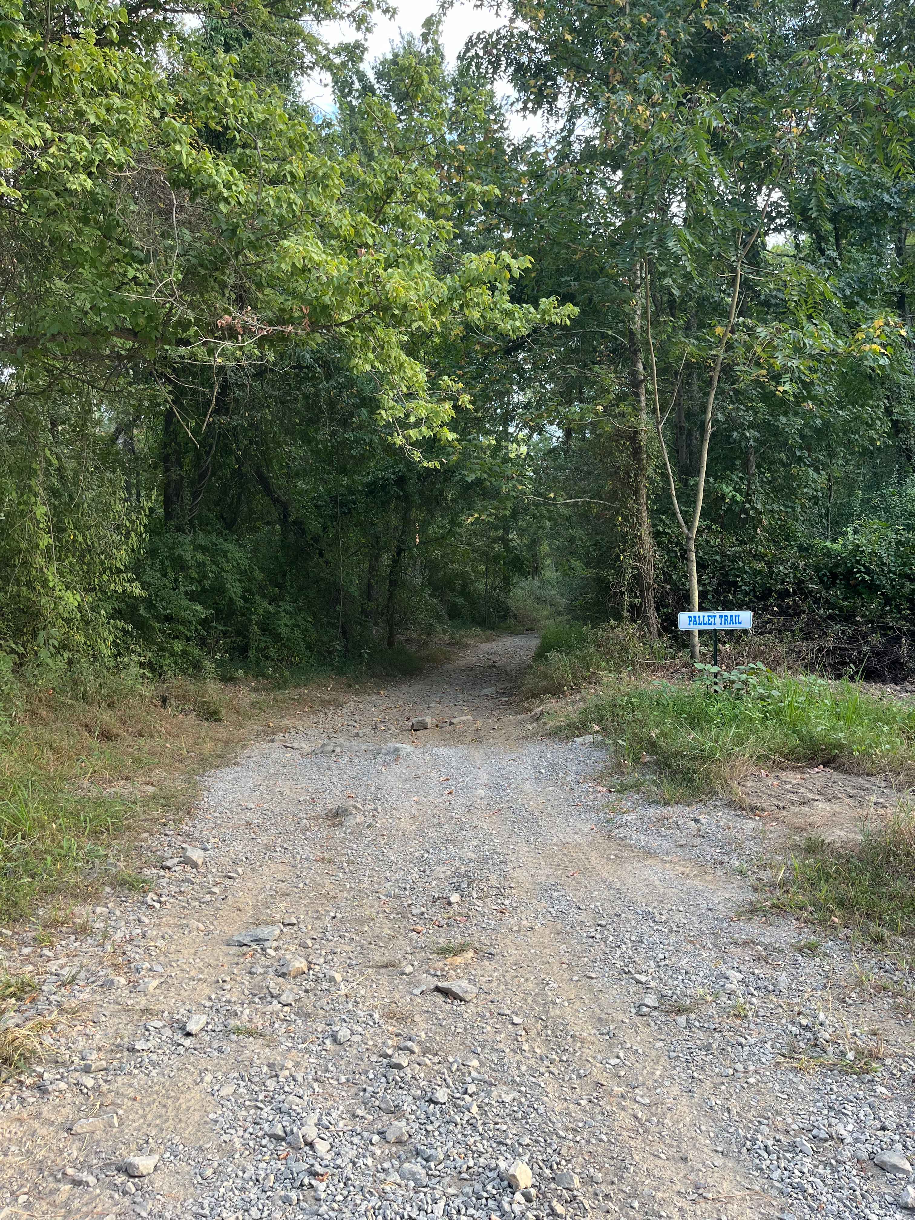
Trail Overview
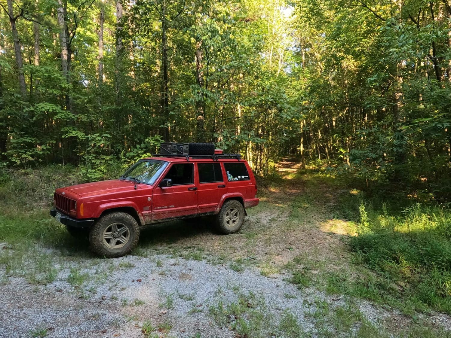
The Diswood FSR 690 is a natural forest road in the southern portion of the Mississippi Bluffs sector of Shawnee National Forest. Talk about a pinstripe expo, it is tight, tight, tight for the first .3 mile, either commit to go to the top or do a 10-point turn to get spun around. In the bottoms there is a few small feeder creeks connected together by narrow dirt roads, leading to a steep course of rock and dirt uphill climb that is rather rough and washed out, not impassable, but would come with some fair challenge, then at the hilltop, it surprisingly widens out and has a few open spur routes (the 690 Spur B & C, I could not find the A) going down long gentle hills, ends at a barb wire fence right before getting to the power line cutout. The northern section of the 690 that the MVUM and onX show as open is also gated off at the edge of Tatum Rd, granted this section is on private property, so it is not currently accessible. The trail is open yearly 5/9 - 12/9.
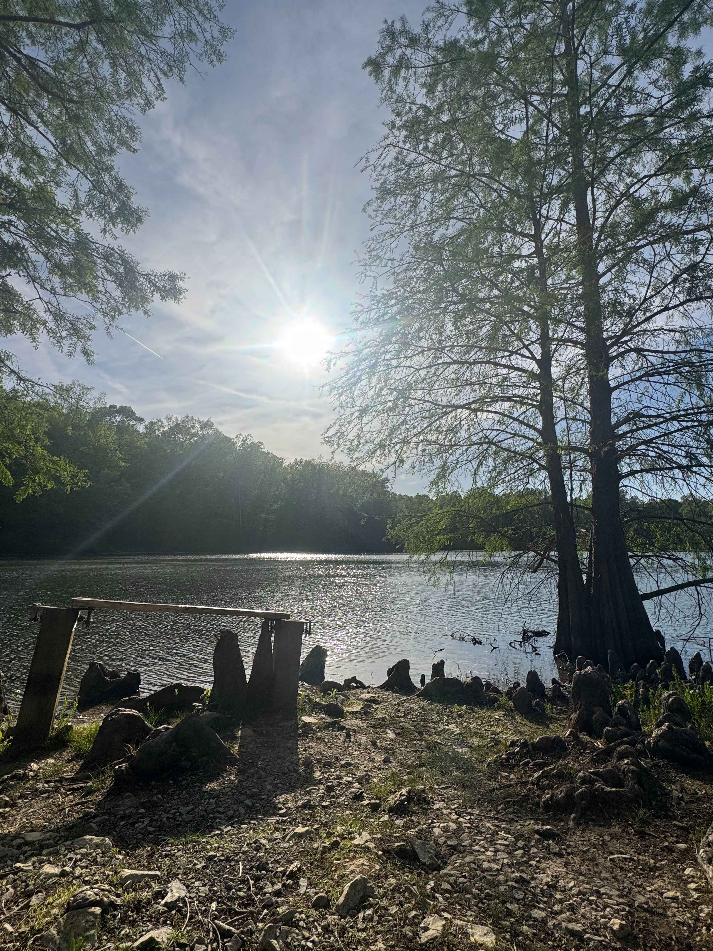
Photos of Diswood FSR 690
Difficulty
The main difficulty of this trail is weaving in between the vines, and trees, and the washed-out feeder creeks you have to cross, granted both times I have gone they have been mostly dry, but they still drop down 12" on one and close to 18" on the other, into soft soil, then there is the uphill climb, moderately steep, and the main rut really can't be straddled due to the narrow nature of the trail, it is required to go up the soft bottomed and loose rock filled rut and climb the natural rock that is occasionally poking out all while being slightly off camber on most of the hill. The top section of the hill eases up and becomes more like a 2/10 road, but to get there, the bottom is every bit a 4/10 in a dry season, but with the nature of the area, and how the forest can stay wet for months in the shade and tightness of the trees, I'm going to safely rate this a 5/10, in rain this difficult could be elevated even higher. Pinstriping is guaranteed.
Status Reports
Diswood FSR 690 can be accessed by the following ride types:
- High-Clearance 4x4
Diswood FSR 690 Map
Popular Trails
Bork Falls Road
Wamble Mountain Spur Road - FS 707A
Whoopie Cat Lake Trail
The onX Offroad Difference
onX Offroad combines trail photos, descriptions, difficulty ratings, width restrictions, seasonality, and more in a user-friendly interface. Available on all devices, with offline access and full compatibility with CarPlay and Android Auto. Discover what you’re missing today!