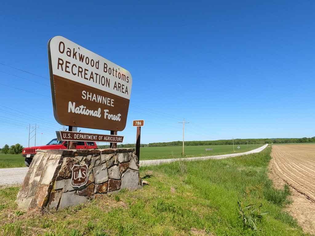
Oakwood Bottoms/Turkey Bayou FSR 786/786R
Total Miles
5.8
Technical Rating
Best Time
Spring, Summer, Fall, Winter
Trail Type
Full-Width Road
Accessible By
Trail Overview
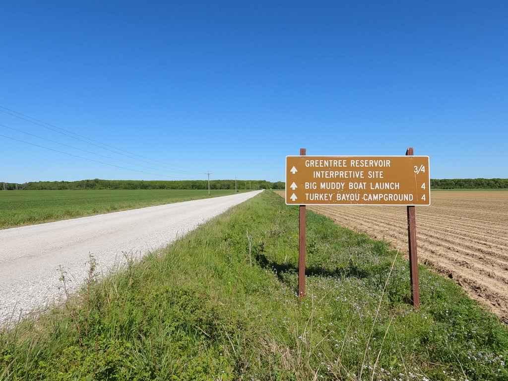
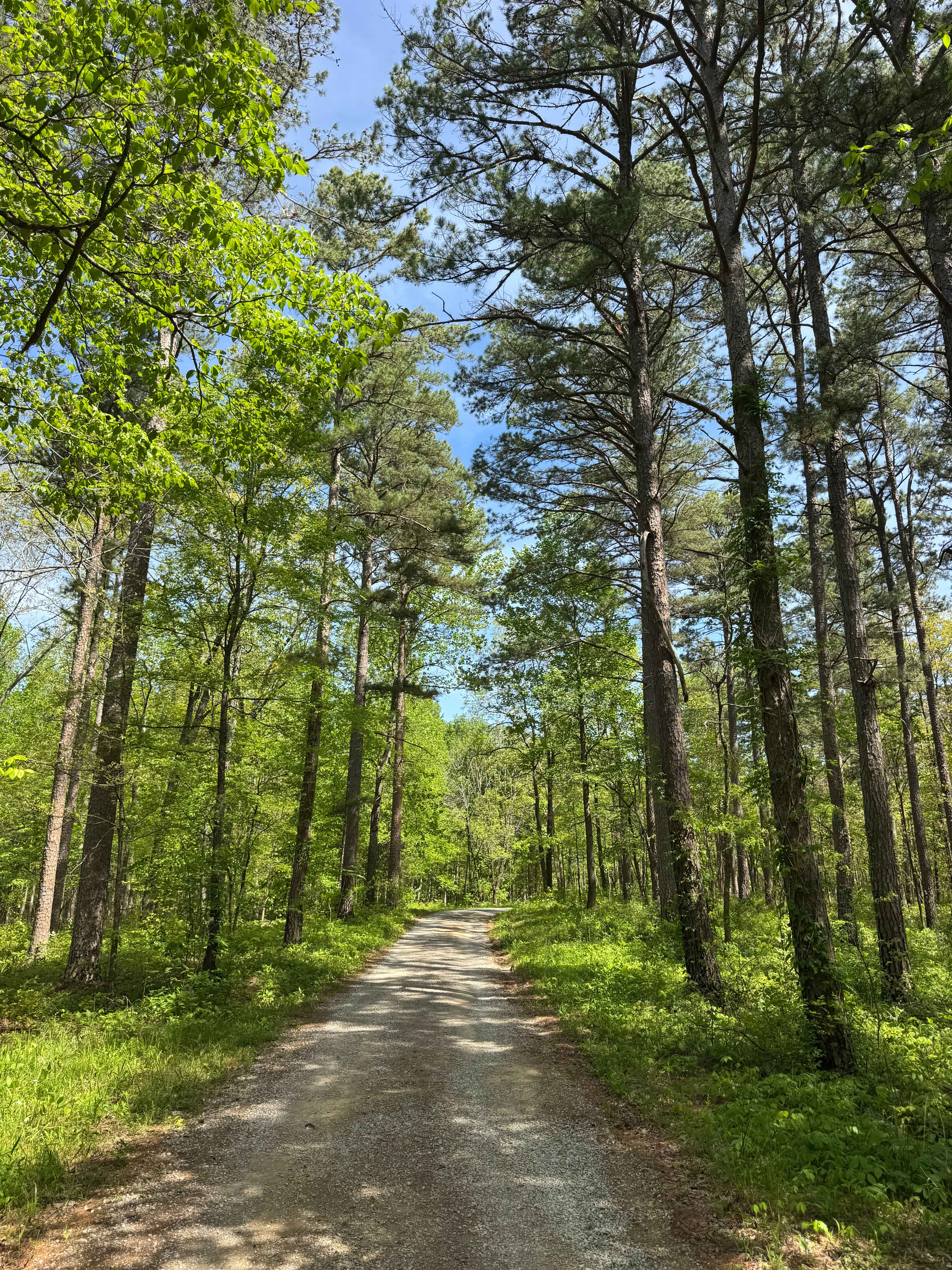
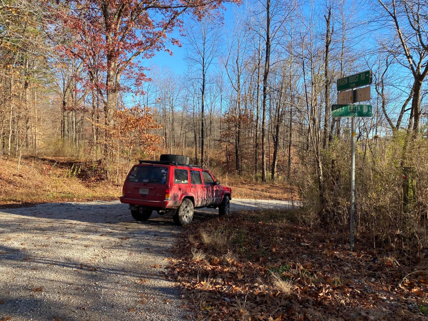
The Oakwood Bottoms FSR 786, and Turkey Bayou FSR 786R, also know in the forestry maps as Johns Spur Road, is a gravel forestry road through the wetland bottoms in the northwest Mississippi Bluffs sector of Shawnee National Forest. Through there is two separate road names and IDs the road seamlessly connects with no signage separating them. The road is easy and decently maintained, but features some heavy pot holes, the road is generally flat and traverses only feet above the wetlands that surrounds it. There is many attractions along it's route, the road ultimately crosses the big muddy river levee, and leads to the Turkey Bayou (body of water) and the primitive and RV (no hook up) campsite of the same name is open year-round.
Photos of Oakwood Bottoms/Turkey Bayou FSR 786/786R
Difficulty
The road is easy, generally flat, and well maintained, but does feature potholes, and could get to the level of having moderate washboarding and mounding if the road was left unmaintained for an extended period. The area is potential to flood when rain is heavy and the river water levels are up, during this scenario and time, the road should not be used.
History
In the area there is much history concerning Shawnee National Forest, the Big Muddy River Levee, wetland, and Mississippi Bluffs (FSR 236 and 345 area), and this info can be found on the specific trails in those areas.
Status Reports
Oakwood Bottoms/Turkey Bayou FSR 786/786R can be accessed by the following ride types:
- High-Clearance 4x4
- SUV
Oakwood Bottoms/Turkey Bayou FSR 786/786R Map
Popular Trails
Eagle Mountain Bluff Trail FSR 1454
One Horse Gap Lake Trail

Muddy Levee Road
The onX Offroad Difference
onX Offroad combines trail photos, descriptions, difficulty ratings, width restrictions, seasonality, and more in a user-friendly interface. Available on all devices, with offline access and full compatibility with CarPlay and Android Auto. Discover what you’re missing today!