Clear Creek Levee Road
Total Miles
7.6
Technical Rating
Best Time
Spring, Summer, Fall
Trail Type
Full-Width Road
Accessible By
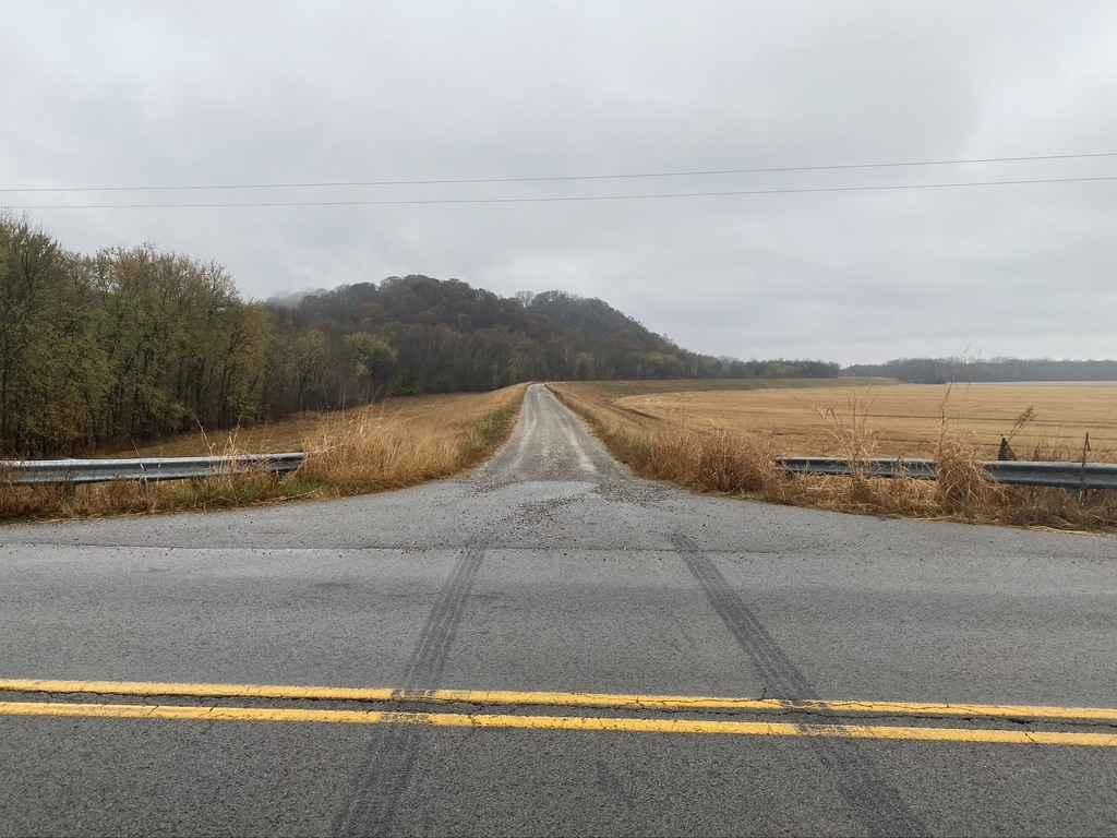
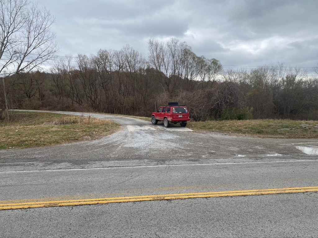
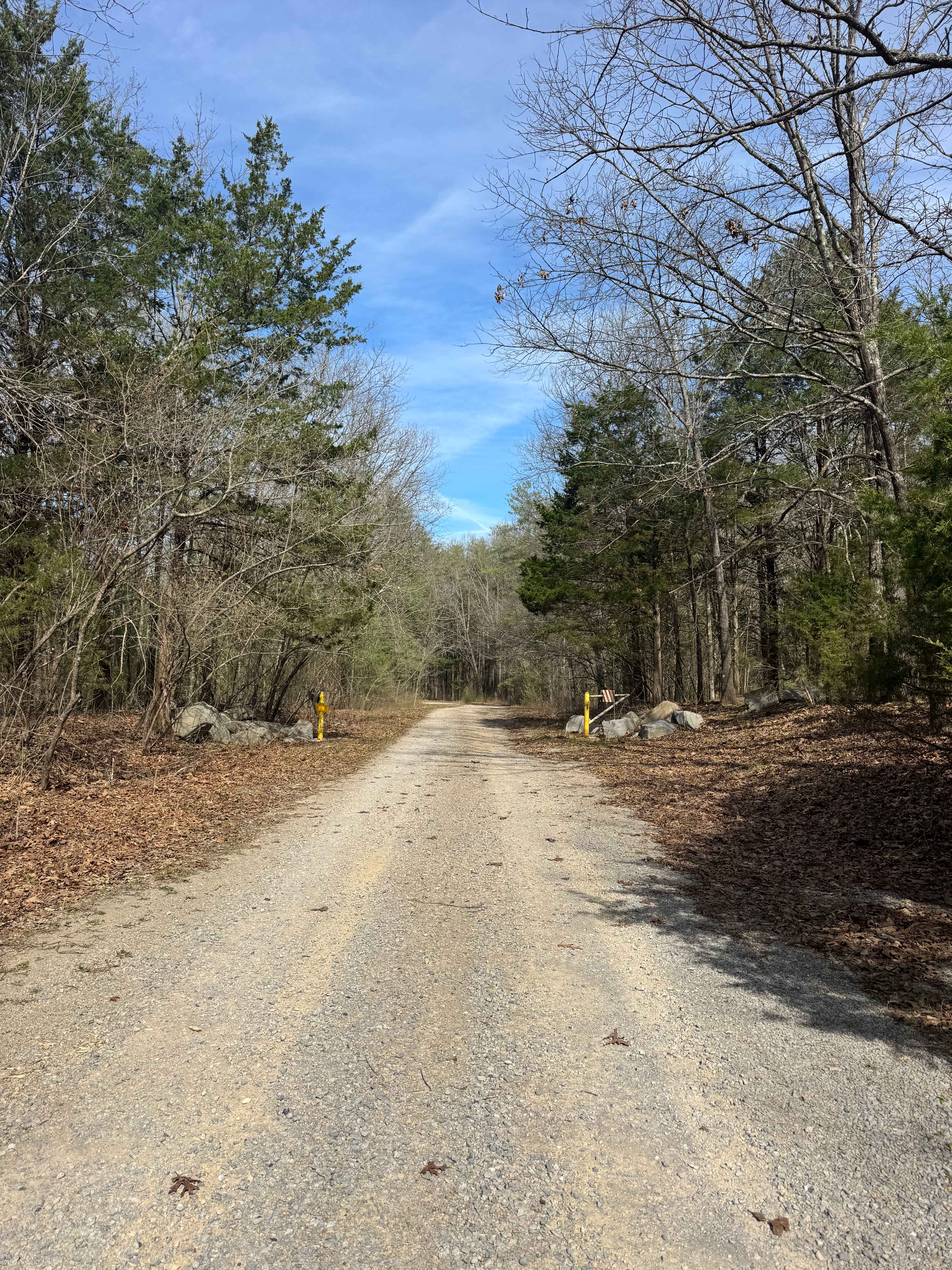
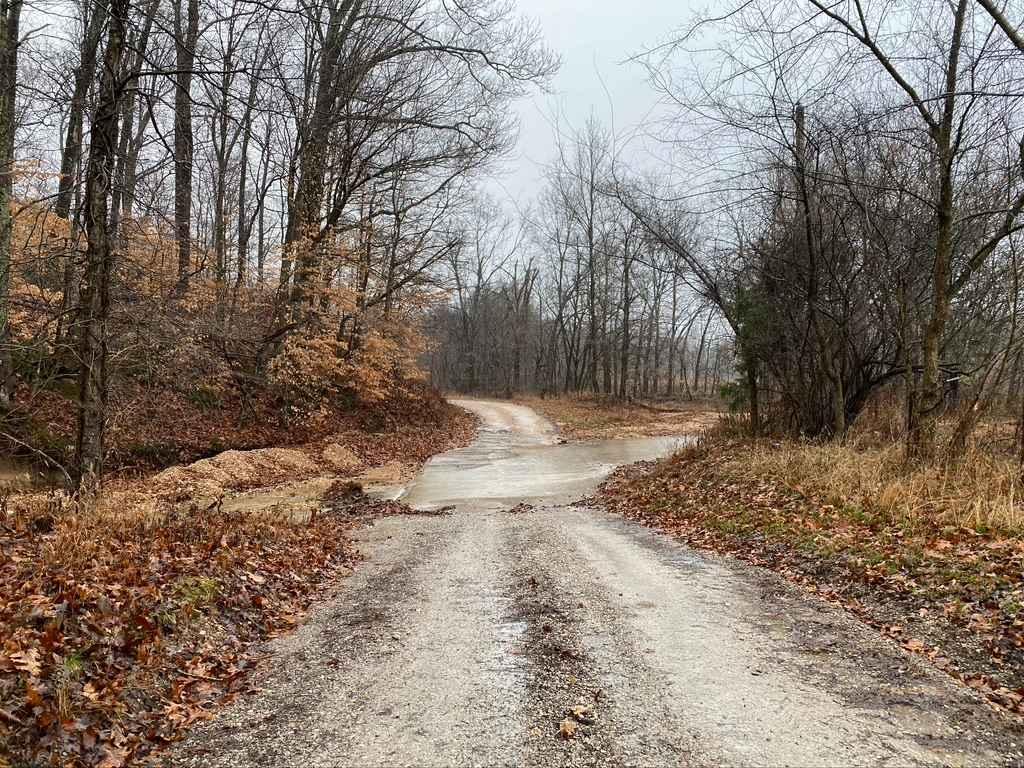
Trail Overview
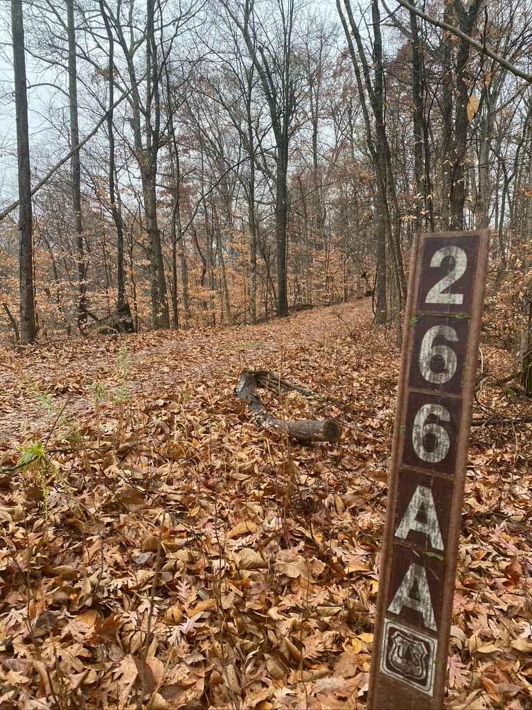
The Clear Creek Levee Road parallels IL Route 3 North and South connecting the dots with a lot of routes that lead to Shawnee National Forest and other trails. It's a simple gravel road with the occasional pothole or dirt section but is worth adding to your drive if you want to avoid main roads or to take a side adventure to fish. Starting near Gale, IL, at the first-mile mark headed north you cross a railroad track. At the 2.5 miles mark, you cross Old Sexton Creek Road, and at 5.6 miles you cross Grapevine Trail, followed by Hanging Rock Road at 6 miles, this is the last stop before the gate at the Union/Alexander County lines at 7.2 miles.
Photos of Clear Creek Levee Road
Difficulty
Just a simple gravel levee road, that features great looks of Shawnee National Forest to the west of it. Just be cautious of large pot holes that may be present.
Status Reports
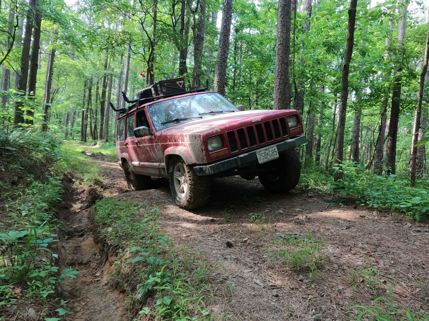
Clear Creek Levee Road can be accessed by the following ride types:
- High-Clearance 4x4
- SUV
- SxS (60")
Clear Creek Levee Road Map
Popular Trails
Lake Of Egypt Campground Drive - FS 871A
Dennison FSR 106
Wilderness Retreat Road
N Hamburg Hill Spur
The onX Offroad Difference
onX Offroad combines trail photos, descriptions, difficulty ratings, width restrictions, seasonality, and more in a user-friendly interface. Available on all devices, with offline access and full compatibility with CarPlay and Android Auto. Discover what you’re missing today!