Eagle Mountain Bluff Trail FSR 1454
Total Miles
1.2
Technical Rating
Best Time
Summer, Fall
Trail Type
High-Clearance 4x4 Trail
Accessible By
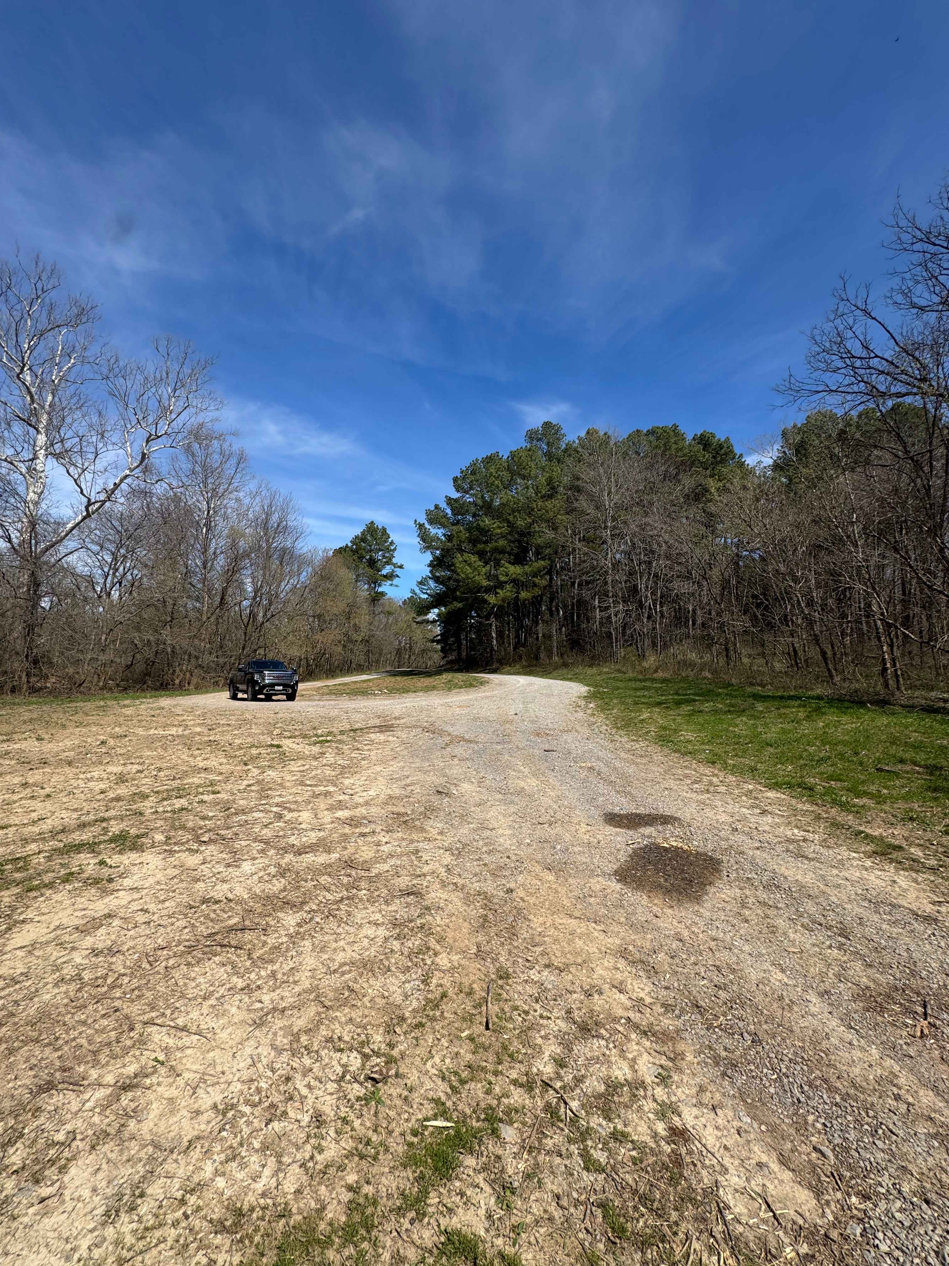
Trail Overview
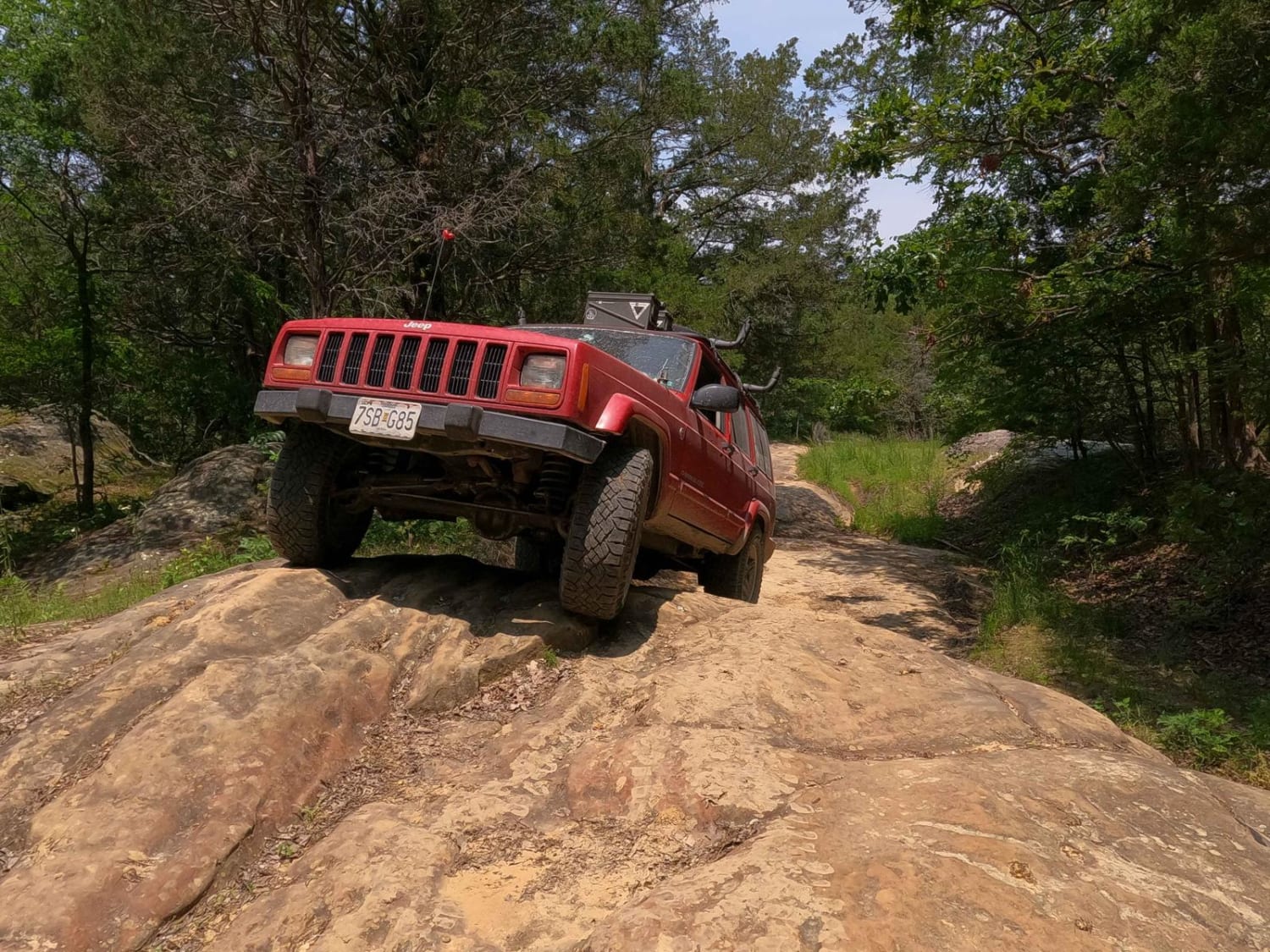
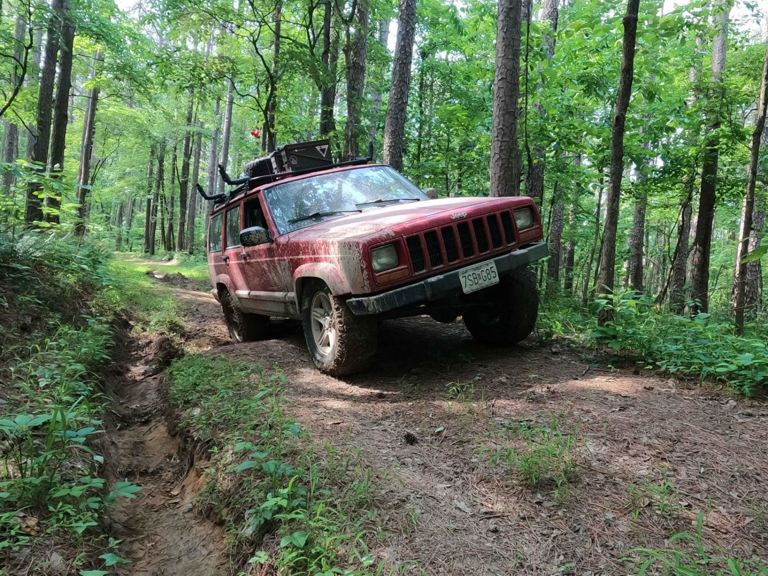
The Eagle Mountain Bluff Trail, also known as the north end of Horton Hill FSR 1454 or possibly as Hitching Post, is a natural terrain (USFS graded as a low standard rough - high clearance) through the Eagle Mountain area of the Hidden Springs sector of Shawnee National Forest. This trail is Illinois' most notorious forestry road, considered by locals to be the best of the best of Illinois' public land trail riding, and is an honest achievement to have on your resume. When approached going from north to south, the trail starts off very rocky, containing some steep drop-offs and a few sections of slick rock, this is then followed by dirt-bottomed roads (if dry) and countless mudholes and off-camber ruts, most of the very deep pits (peanut butter consistency mud) can be mostly bypassed, but out here the bypasses have bypasses, that also have bypasses. It can feel like a maze at the intersections of mud, but with some thought and scouting out these areas beforehand, you can make it through only hitting the mildly deep stuff. Towards the end you run into the powerline trunk line, where the trail follows along, going down a naturally loose rock and dirt-bottomed road, descending down to the bluff, overlooking westward towards Southern Illinois.
Photos of Eagle Mountain Bluff Trail FSR 1454
Difficulty
Firstly, not stock friendly, second bring a friend, at minimum have several ways to recover yourself, a winch, tree saver, and tow rope at a minimum should be on your vehicle for this trail, recommend 32"+ tire size with plenty of flex and articulation. The difficulty in this trail is the deep mud, and how easily it can appear harmless, it isn't, you sink fast and the bottoms have low to no traction, if your tires can even reach the bottom. If you choose to go for it, be sure to stick test the holes first, the range experienced, in a dry spell for the area, was 1-4 feet deep. The 1-foot deep ones were manageable with some momentum, but even in those, there were times it was a struggle to get to the other end. Just be cautious of the depth of the mud holes, it is suggested to bypass as much as possible. Be ready to experience several off-camber spots along the way going over water channelized ruts and washes, all amongst tight trees and curves weaving their way through the forest, Pinstriping will most definitely happen on this trail. The rock sections on the trail feature 18" to 24" rock ledges, and there were a few 3' plus tall slick rock obstacles, it is a good medium (30-40 degrees) in terms of how steep these slick rocks were but did include good tire placement and potential spotting due to off-camber spots. The powerline trunk features course natural rock (golf - softball in size), that is laying loosely in the water-eroded path as you descend down a steep grade to the bluff. The Trail is given a 6/10 due to the large slick rocks and the depth of the deep mud holes, and how generally tight it is, if you pick wise lines and avoid the mud holes, it could drop to more like a 5/10, but if the conditions are wet in the area, the difficulty would only increase above the 6/10 rating as the mud holes fill with water and expand in length and the normal dirt road sections of the trail become muddy and lose traction.
Status Reports
Eagle Mountain Bluff Trail FSR 1454 can be accessed by the following ride types:
- High-Clearance 4x4
Eagle Mountain Bluff Trail FSR 1454 Map
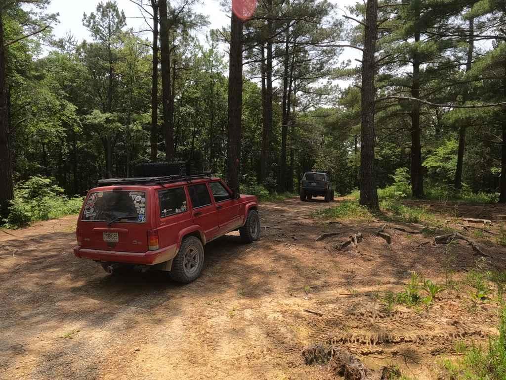
Popular Trails
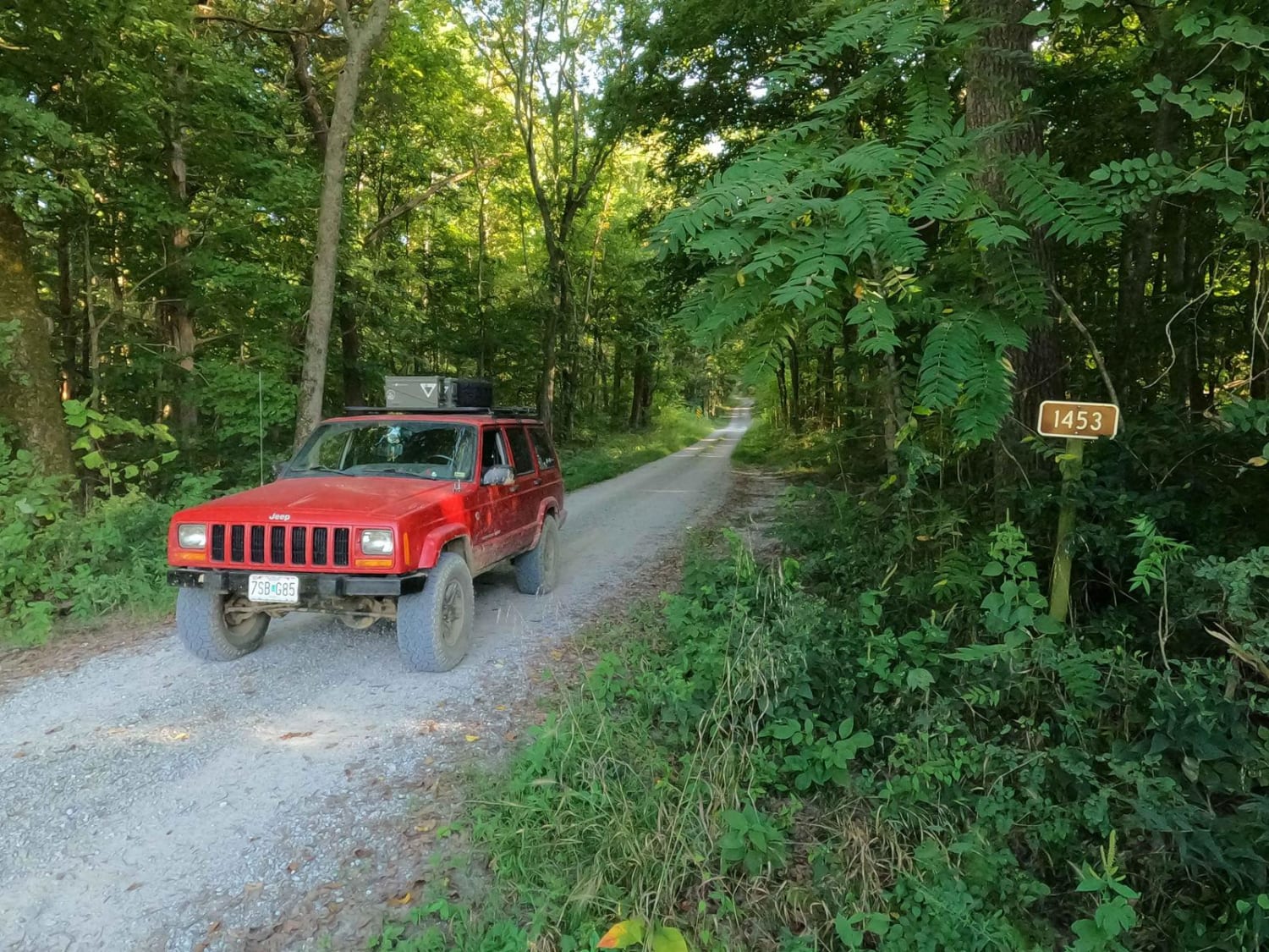
Stone Face Lane - FS 1453
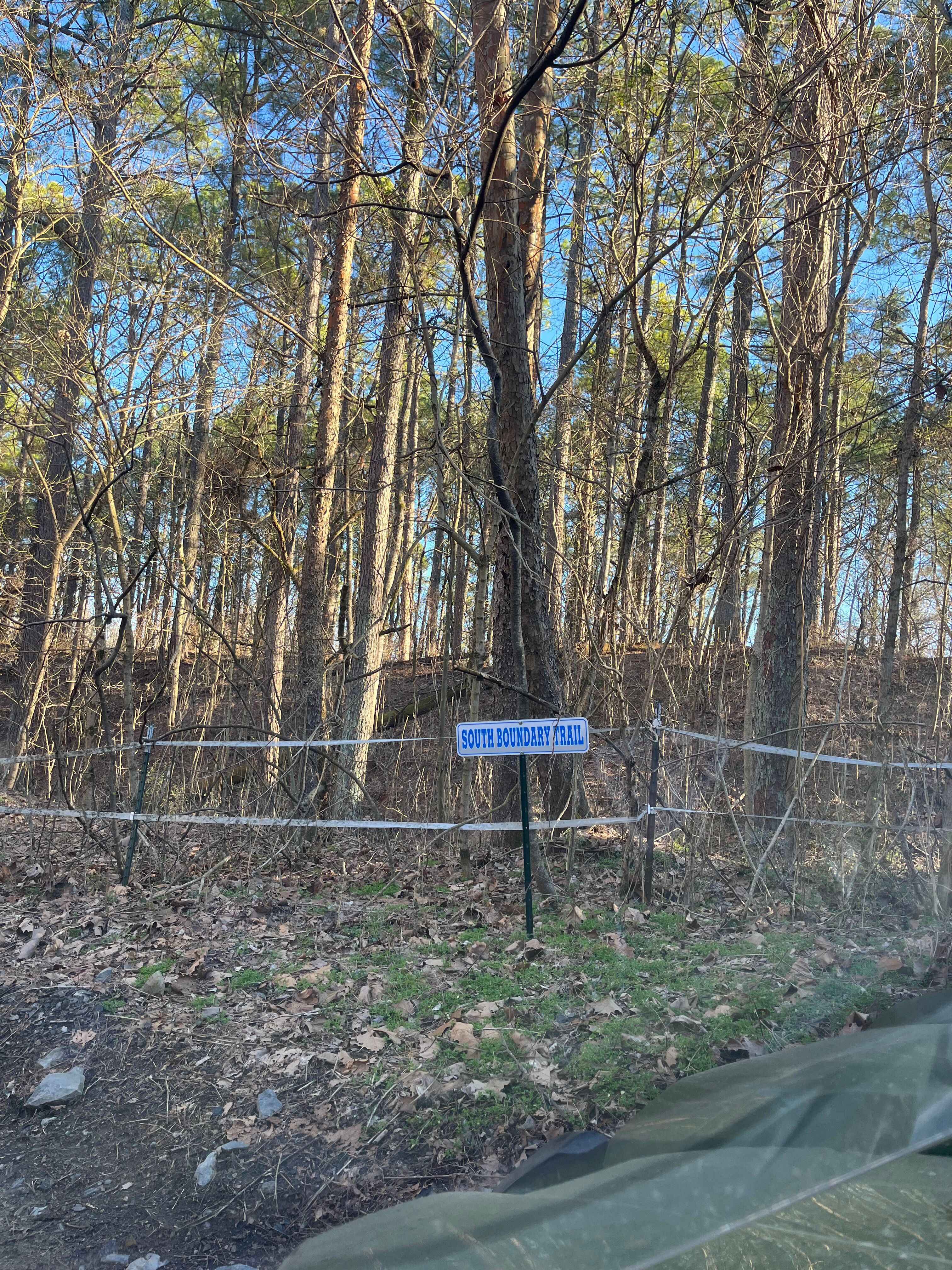
South Boundary Trail
Grandpa's Getaway
Dennison FSR 106
The onX Offroad Difference
onX Offroad combines trail photos, descriptions, difficulty ratings, width restrictions, seasonality, and more in a user-friendly interface. Available on all devices, with offline access and full compatibility with CarPlay and Android Auto. Discover what you’re missing today!