Amax Trail
Total Miles
0.3
Technical Rating
Best Time
Summer
Trail Type
60" Trail
Accessible By
Trail Overview
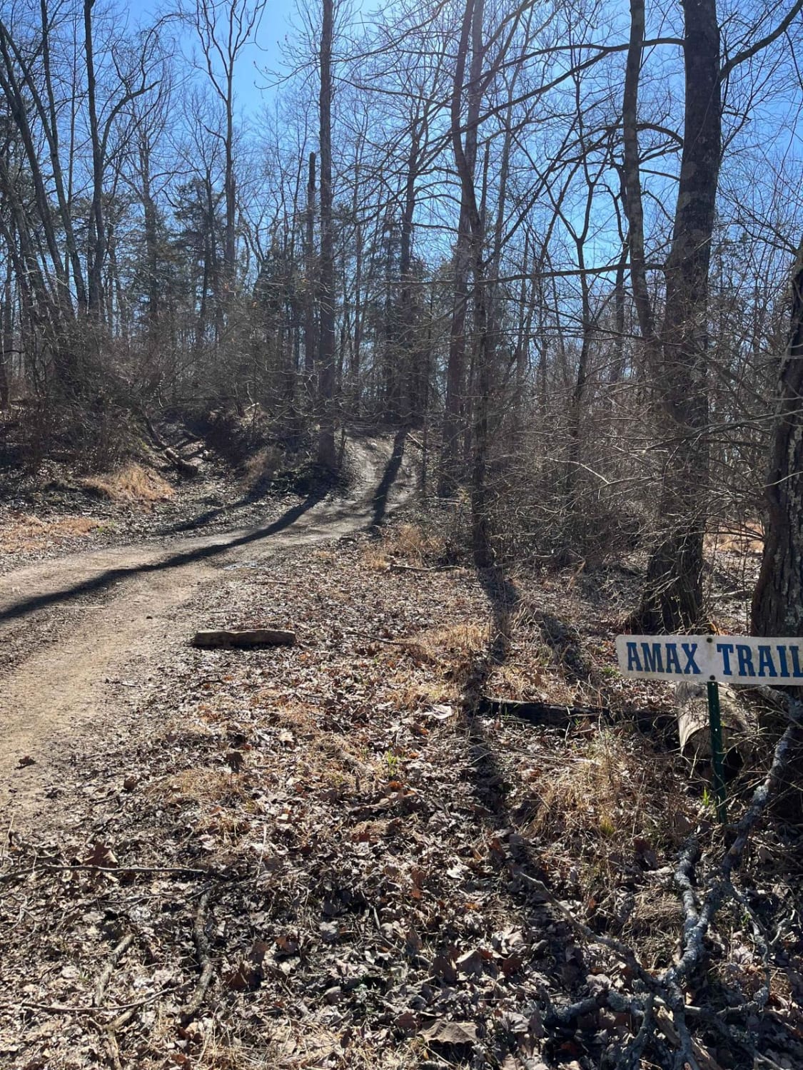
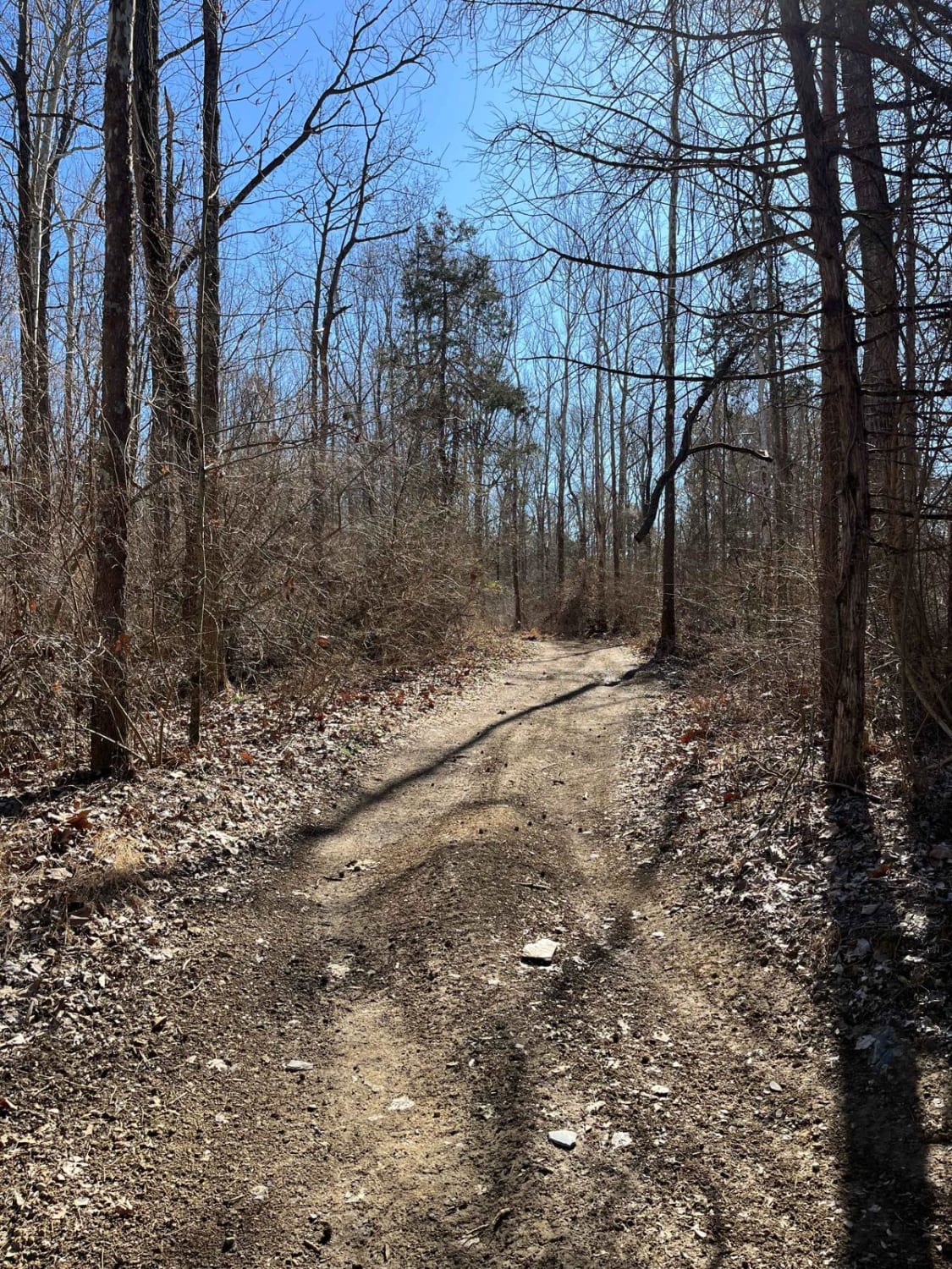
The Amax Trail can be seen from the main gate to Little Egypt Off Road and is the westernmost main trail on the property. It traverses from alongside Old Route 13 to the Boundary Trail on the south end. The Amax Trail overlooks the creek bottoms that make up the southwest corner of the property, a great place to play around in the mud! When approached from north to south, the trail starts with a dirt hill, containing a smaller off-camber section towards the top. This is followed by a smoother section of dirt bottom with occasional ruts and a muddy surface after rain that can be bypassed. The next section of the Amax Trail is a smooth, slightly hilly portion, containing a pretty view of the forest, overlooking the trail split and mud holes lying ahead. As the surface begins to reveal more rocks, the trail splits, with both directions conjoining at the south end of the Amax Trail. Both sides contain countless smaller mud holes, with the right option containing larger, deeper holes than the other. The trail ends at the southern boundary of the park, becoming the Boundary Trail upon completion. You have the option of descending on the creek bottom mud holes to the west. When dry, the trail can easily be conquered on a two-wheel drive OHV, although it's proven far more difficult in the rainy seasons.
Photos of Amax Trail
Difficulty
During wet seasons, this route can become very slick, and water in lower portions may become up to 12 inches deep.
History
This trail travels across ground formerly strip-mined and owned by Amax Coal Company, leaving behind a rocky soil.
Status Reports
Amax Trail can be accessed by the following ride types:
- SxS (60")
- ATV (50")
- Dirt Bike
Amax Trail Map
Popular Trails
Bull Durham SFR 642
The onX Offroad Difference
onX Offroad combines trail photos, descriptions, difficulty ratings, width restrictions, seasonality, and more in a user-friendly interface. Available on all devices, with offline access and full compatibility with CarPlay and Android Auto. Discover what you’re missing today!
