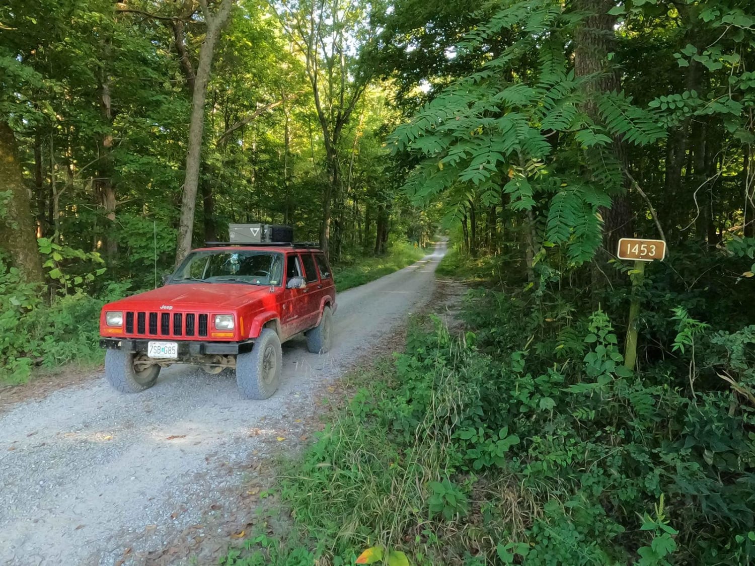
Stone Face Lane - FS 1453
Total Miles
0.4
Technical Rating
Best Time
Spring, Summer, Fall, Winter
Trail Type
Full-Width Road
Accessible By
Trail Overview
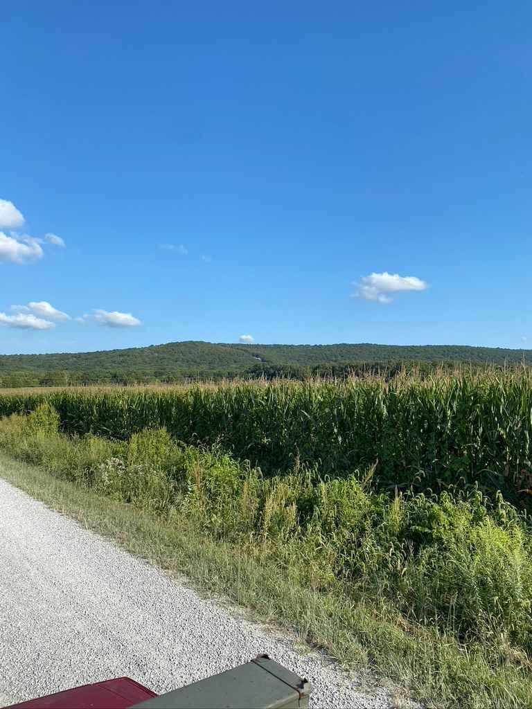
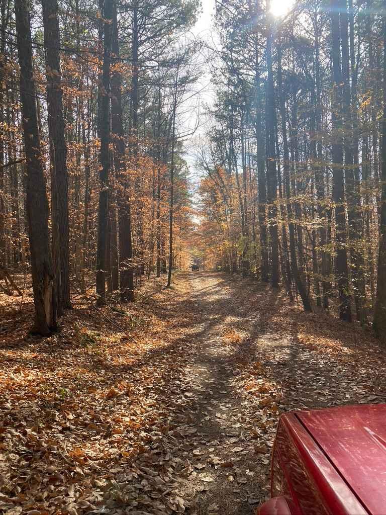
Stone Face Lane/Recreation Area FS 1453 is a gravel access road to the hiking trail and scenic bluff rock overlook of the same name. It is a part of the Eagle Mountain area within the Hidden Springs sector of Shawnee National Forest. The lane is short but provides a great place to stage and meet up for a day of offroading, have a lunch break, or hit one of the most scenic spots southern Illinois has to offer. The road starts in the lowland bottoms, crosses a creek on a concrete bridge, and then climbs a mild hill to a turnaround lot. Here the natural rock of the area starts to come into frame all around the parking area, including one interesting tree growing out of a meso-boulder at the hiking trail entrance. So what is this Stone Face all about? Stone Face is just that: a stone that's part of a bluff that projects outward and resembles the face of a Native American Indian that used to inhabit and roam these lands. When looking at the Stone Face, there are obvious features, including a forehead, nose, and chin that make it very distinct. The hiking trail is supposed to loop, but as of 9/2023, it appeared to have one direction open up to the top of the bluff ridgeline to see the Stone Face.
Photos of Stone Face Lane - FS 1453
Difficulty
The 1453 is a well-maintained simplistic road, featuring a gravel base, with only mild ruts and the normal complications of washboards, potholes, and mounding. It's given a 1/10 base rating due to the simplistic nature of the road. The only hurdle would be the mild grade uphill to the lot if there were to be heavily wet conditions or snow covering the road. The difficulty would increase in these situations.
Status Reports
Stone Face Lane - FS 1453 can be accessed by the following ride types:
- High-Clearance 4x4
- SUV
Stone Face Lane - FS 1453 Map
Popular Trails

Bell Smith Spring Rope Swing Trail

Rawlins Bend - FS 339
Whitney Hollow Road
The onX Offroad Difference
onX Offroad combines trail photos, descriptions, difficulty ratings, width restrictions, seasonality, and more in a user-friendly interface. Available on all devices, with offline access and full compatibility with CarPlay and Android Auto. Discover what you’re missing today!