Off-Road Trails in Illinois
Discover off-road trails in Illinois
Learn more about Muddy Levee Road
Muddy Levee Road
Total Miles
2.7
Tech Rating
Easy
Best Time
Spring, Summer, Fall, Winter
Learn more about N Hamburg Hill Spur 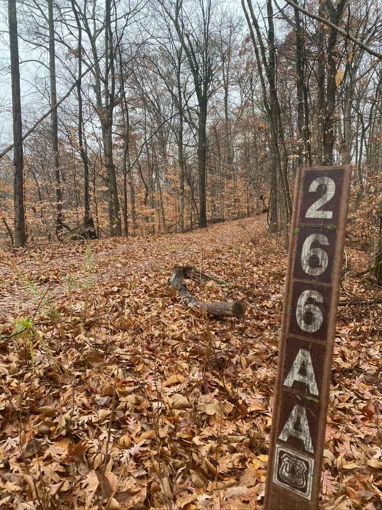
N Hamburg Hill Spur
Total Miles
0.6
Tech Rating
Easy
Best Time
Spring, Fall, Summer
Learn more about Natural Bridge Road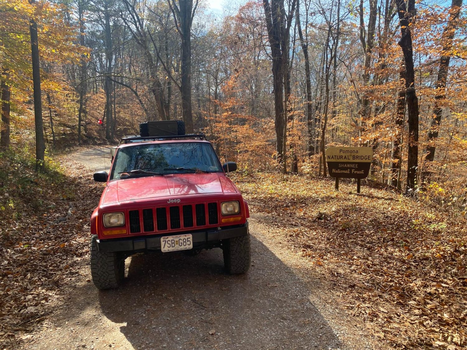
Natural Bridge Road
Total Miles
2.2
Tech Rating
Easy
Best Time
Spring, Fall
Learn more about North Forest Road
North Forest Road
Total Miles
4.1
Tech Rating
Easy
Best Time
Summer, Fall, Spring
Learn more about North Hitching Post FSR 1454
North Hitching Post FSR 1454
Total Miles
1.2
Tech Rating
Moderate
Best Time
Summer, Fall
Learn more about Oakwood Bottoms/Turkey Bayou FSR 786/786R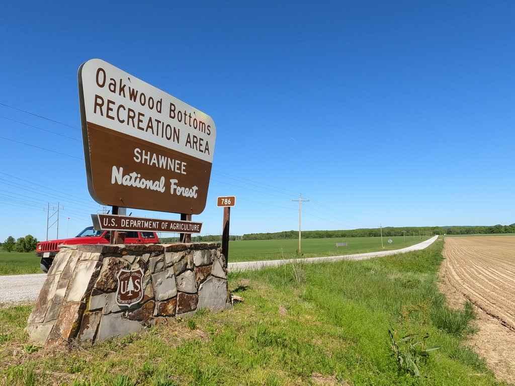
Oakwood Bottoms/Turkey Bayou FSR 786/786R
Total Miles
5.8
Tech Rating
Easy
Best Time
Spring, Summer, Fall, Winter
Learn more about Old Boundary Trail
Old Boundary Trail
Total Miles
0.7
Tech Rating
Moderate
Best Time
Summer
Learn more about Old Goat SFR 625 & 625A
Old Goat SFR 625 & 625A
Total Miles
1.1
Tech Rating
Easy
Best Time
Spring, Fall
Learn more about One Horse Gap Lake Trail
One Horse Gap Lake Trail
Total Miles
2.5
Tech Rating
Easy
Best Time
Spring, Summer, Fall

Learn more about Opossum Trot Road SFR 628
Opossum Trot Road SFR 628
Total Miles
2.9
Tech Rating
Easy
Best Time
Spring, Fall, Summer
Learn more about Otter Pond FSR 345A
Otter Pond FSR 345A
Total Miles
0.4
Tech Rating
Moderate
Best Time
Summer, Fall
Learn more about Pine Hills Road SFR 236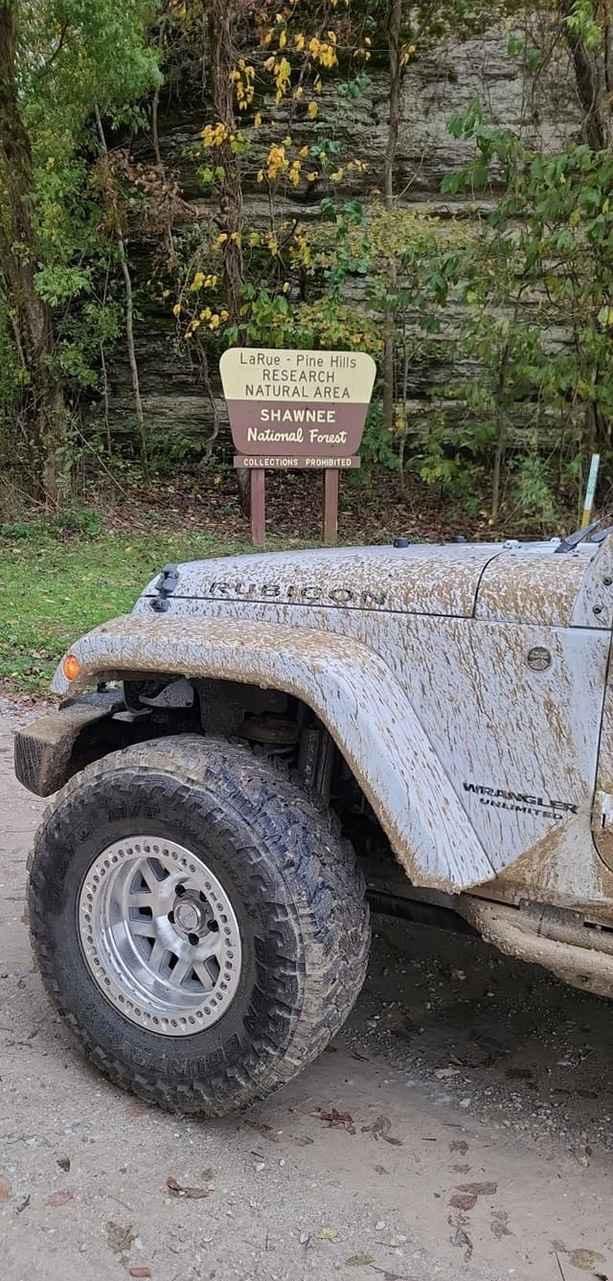
Pine Hills Road SFR 236
Total Miles
7.8
Tech Rating
Easy
Best Time
Spring, Fall
Learn more about Rattlesnake Ferry - FS 345
Rattlesnake Ferry - FS 345
Total Miles
0.7
Tech Rating
Easy
Best Time
Summer, Fall
Learn more about Rawlins Bend - FS 339
Rawlins Bend - FS 339
Total Miles
2.5
Tech Rating
Moderate
Best Time
Summer, Fall
Learn more about River to River Trail
River to River Trail
Total Miles
1.1
Tech Rating
Easy
Best Time
Spring, Summer, Fall
ATV trails in Illinois

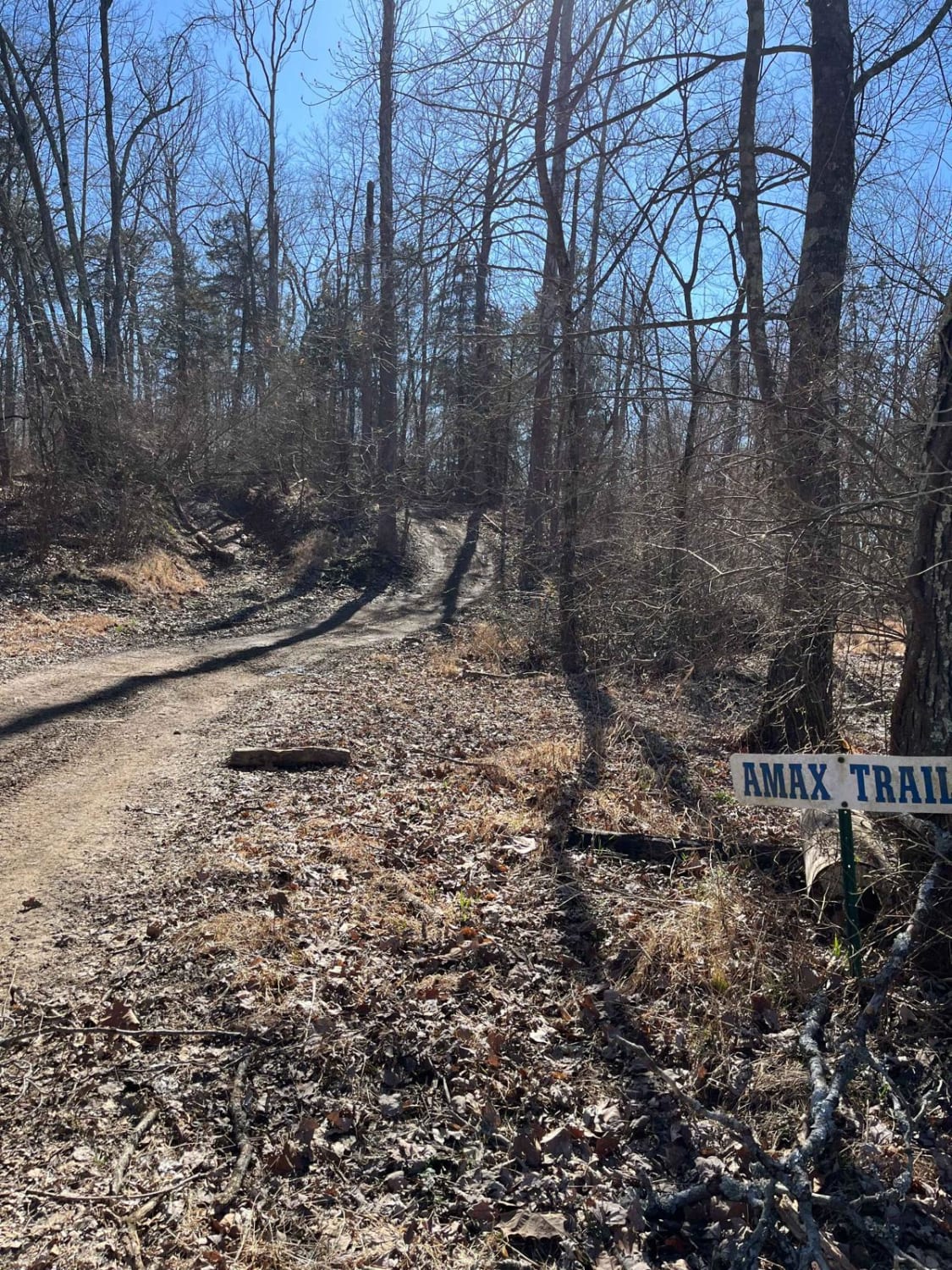
Learn more about Bull Durham SFR 642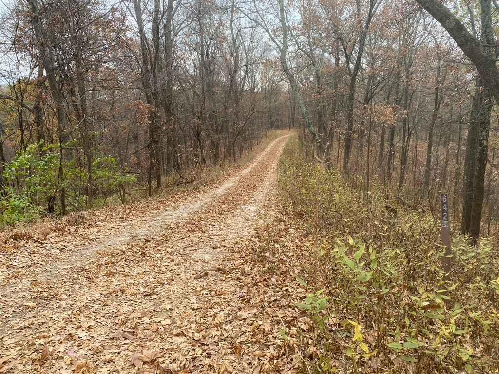
Bull Durham SFR 642
Total Miles
0.9
Tech Rating
Moderate
Best Time
Spring, Fall
Learn more about East Field Access Trail
East Field Access Trail
Total Miles
0.7
Tech Rating
Easy
Best Time
Summer
UTV/side-by-side trails in Illinois
Learn more about Atwood Road SFR 266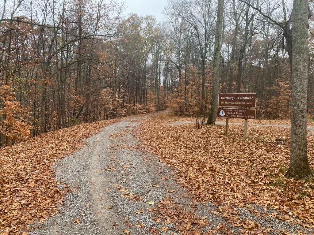
Atwood Road SFR 266
Total Miles
1.6
Tech Rating
Easy
Best Time
Spring, Fall
Learn more about Bull Durham SFR 642
Bull Durham SFR 642
Total Miles
0.9
Tech Rating
Moderate
Best Time
Spring, Fall
The onX Offroad Difference
onX Offroad combines trail photos, descriptions, difficulty ratings, width restrictions, seasonality, and more in a user-friendly interface. Available on all devices, with offline access and full compatibility with CarPlay and Android Auto. Discover what you’re missing today!