Honey School Road SFR 656/656C
Total Miles
1.9
Technical Rating
Best Time
Spring, Fall, Summer
Trail Type
High-Clearance 4x4 Trail
Accessible By
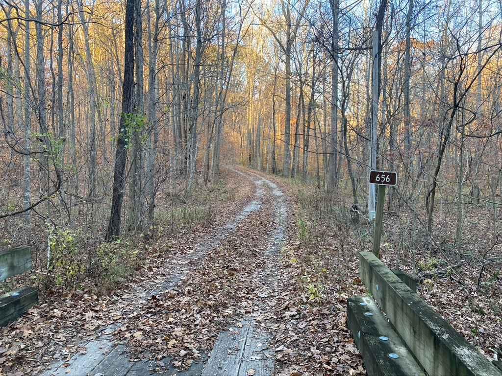
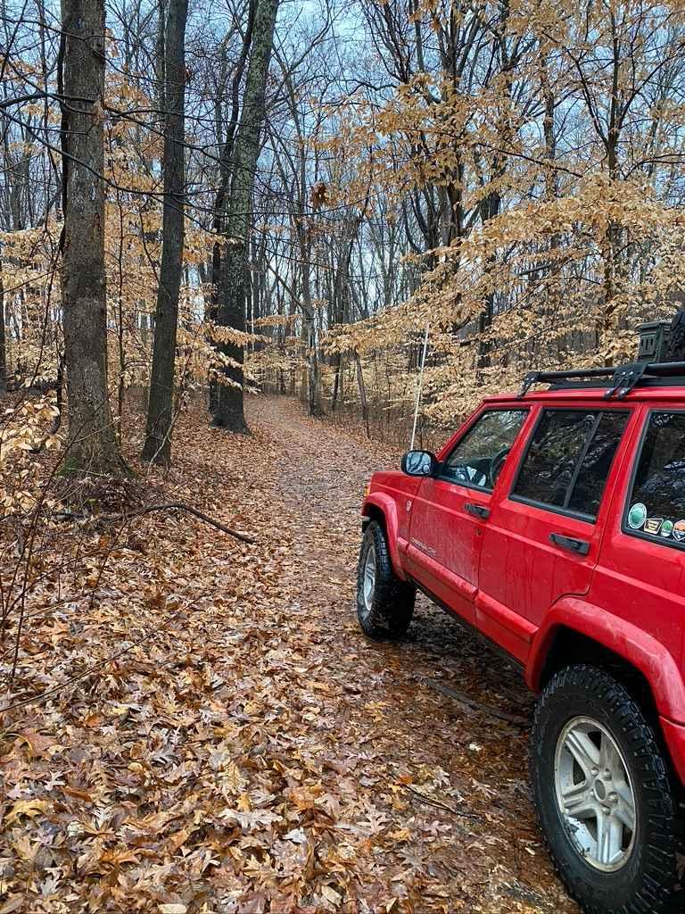
Trail Overview
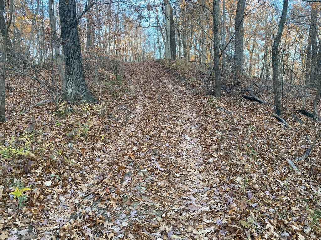
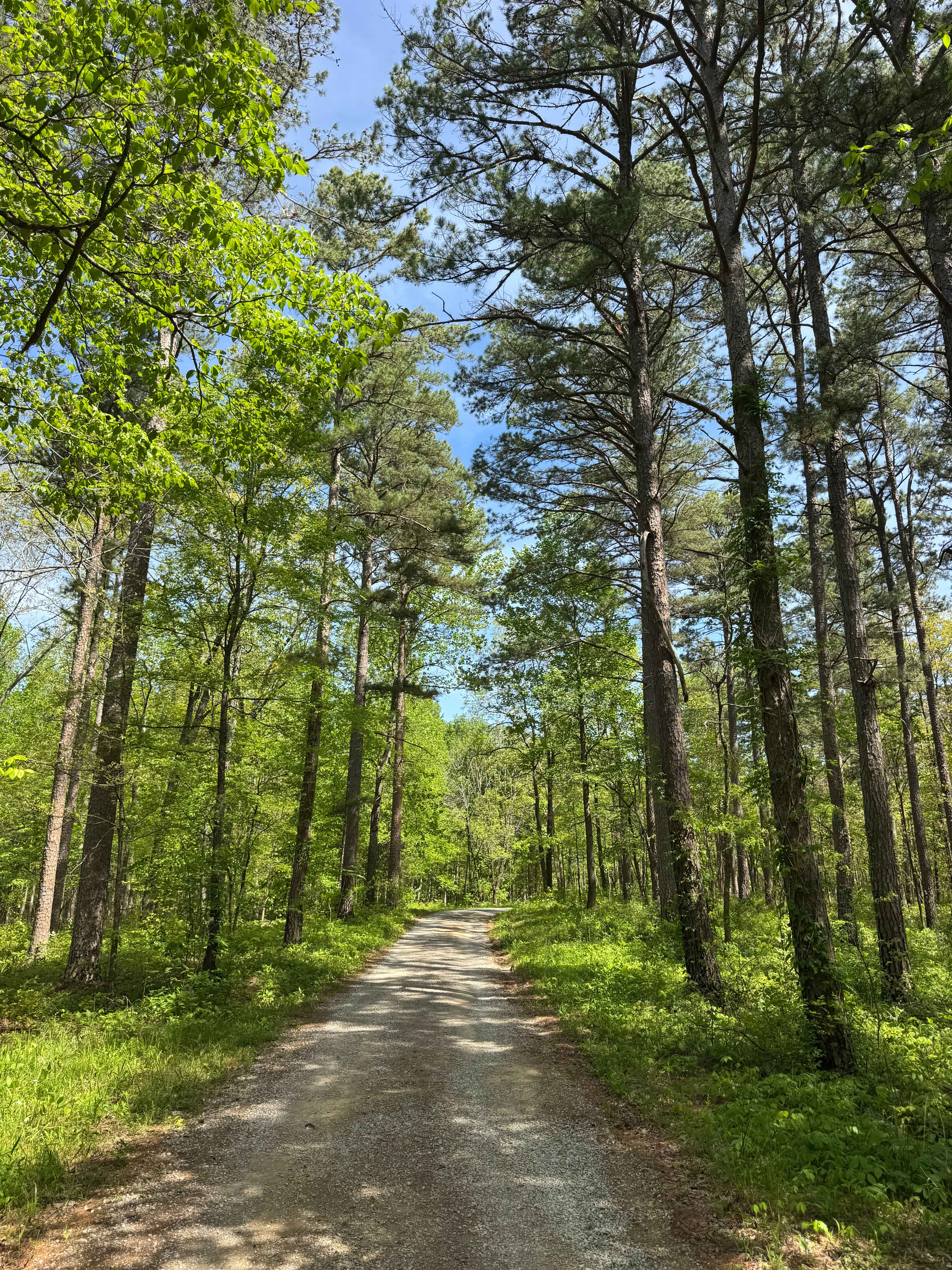
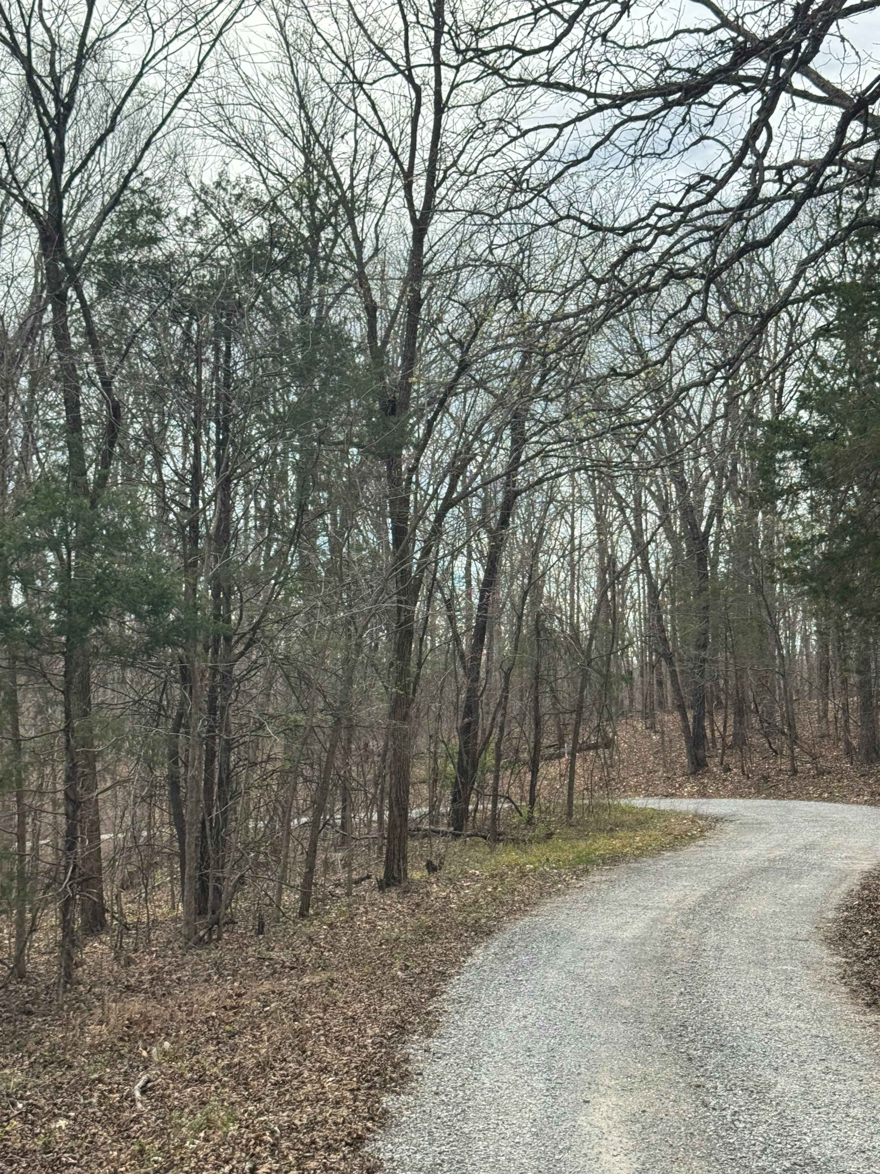
The Honey School Road (SFR 656 & 656C) is a forestry trial in Shawnee National Forest that leads to an old fire tower plot and then loops back to the main road it is connected to, which is Wolf Creek Road, in its own right is a very scenic gravel forestry road. The 656 section is a maintained gravel road that leads to the tower site and seamlessly connects to the 656C, which is a natural trail that quickly shows it's not the gravel road that was before it. It features tightening trees, small mud pits, and steep grades featuring large ruts, which lead to the final hill, a steep downward grade with very tight trees, roots, and 2-foot washes, rutting, and if the season is wet or leaves are present very low traction. This hill eventually leads to a creek bottom (including the 656D trail along the creek) that is very rocky but is usually dry, unless rainwater is collecting and moving through the area, then it becomes a minor creek crossing. The trail features some of the best of the Mississippi Bluffs region of Shawnee National Forest all in a 2-mile trail. Run it in reverse for even more challenge. If the season has been wet or rainy the difficulty increases.
Photos of Honey School Road SFR 656/656C
Difficulty
At it's hardest section the trail features heavy erosion from rain water, this trail features great off camber areas, narrow dirt tunnels, and large ruts, very tight trees and large exposed roots, large dirt embankments, being up to 24"-36" in depth, and if the season is wet the difficulty only increases.
Status Reports
Honey School Road SFR 656/656C can be accessed by the following ride types:
- High-Clearance 4x4
- SxS (60")
- ATV (50")
- Dirt Bike
Honey School Road SFR 656/656C Map
Popular Trails
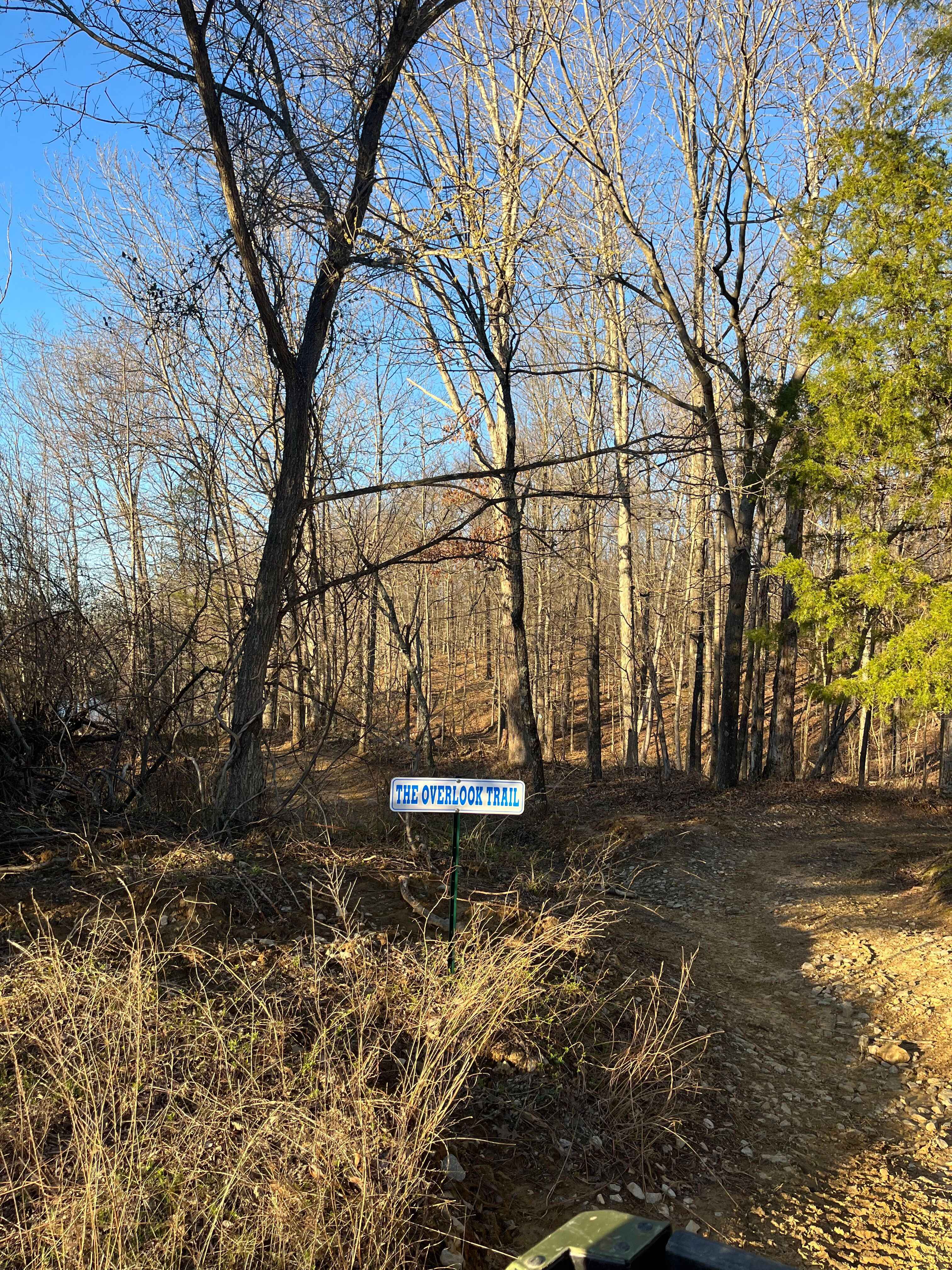
Overlook Trail
West Silica Hill Road
One Horse Gap Lake Trail
Millstone Bluffs Trailhead
The onX Offroad Difference
onX Offroad combines trail photos, descriptions, difficulty ratings, width restrictions, seasonality, and more in a user-friendly interface. Available on all devices, with offline access and full compatibility with CarPlay and Android Auto. Discover what you’re missing today!