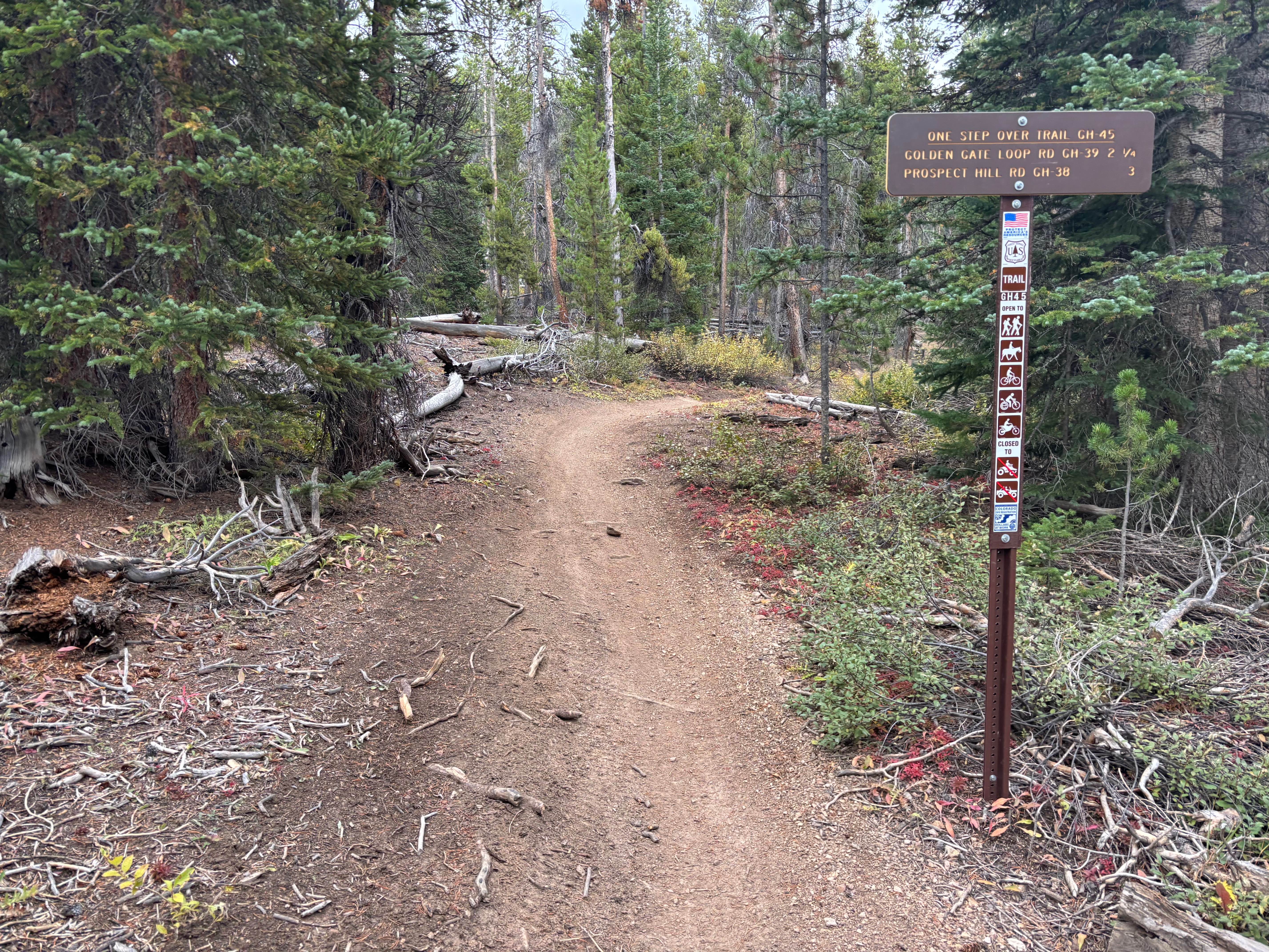
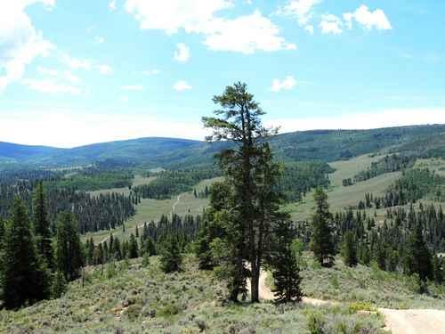
Off-Road Trails in Colorado
Discover off-road trails in Colorado
Learn more about Old Flowers Road
Old Flowers Road
Total Miles
11.9
Tech Rating
Easy
Best Time
Summer, Fall
Learn more about Old Highway 
Old Highway
Total Miles
6.5
Tech Rating
Easy
Best Time
Summer, Fall, Winter, Spring
Learn more about Old Highway Road
Old Highway Road
Total Miles
3.2
Tech Rating
Easy
Best Time
Summer, Fall, Spring
Learn more about Old La Veta Pass
Old La Veta Pass
Total Miles
5.7
Tech Rating
Easy
Best Time
Spring, Summer, Fall
Learn more about Old mine roads off of Imogene Pass Rd
Old mine roads off of Imogene Pass Rd
Total Miles
1.1
Tech Rating
Moderate
Best Time
Summer, Fall
Learn more about Old Monarch Pass
Old Monarch Pass
Total Miles
53.5
Tech Rating
Easy
Best Time
Summer, Fall, Spring
Learn more about Old Owl Creek ATV 
Old Owl Creek ATV
Total Miles
4.2
Tech Rating
Easy
Best Time
Summer, Fall
Learn more about Old Squaw Pass Central
Old Squaw Pass Central
Total Miles
1.4
Tech Rating
Easy
Best Time
Summer, Fall
Learn more about Old Squaw Pass East
Old Squaw Pass East
Total Miles
1.4
Tech Rating
Easy
Best Time
Summer, Fall
Learn more about Old Stagecoach Road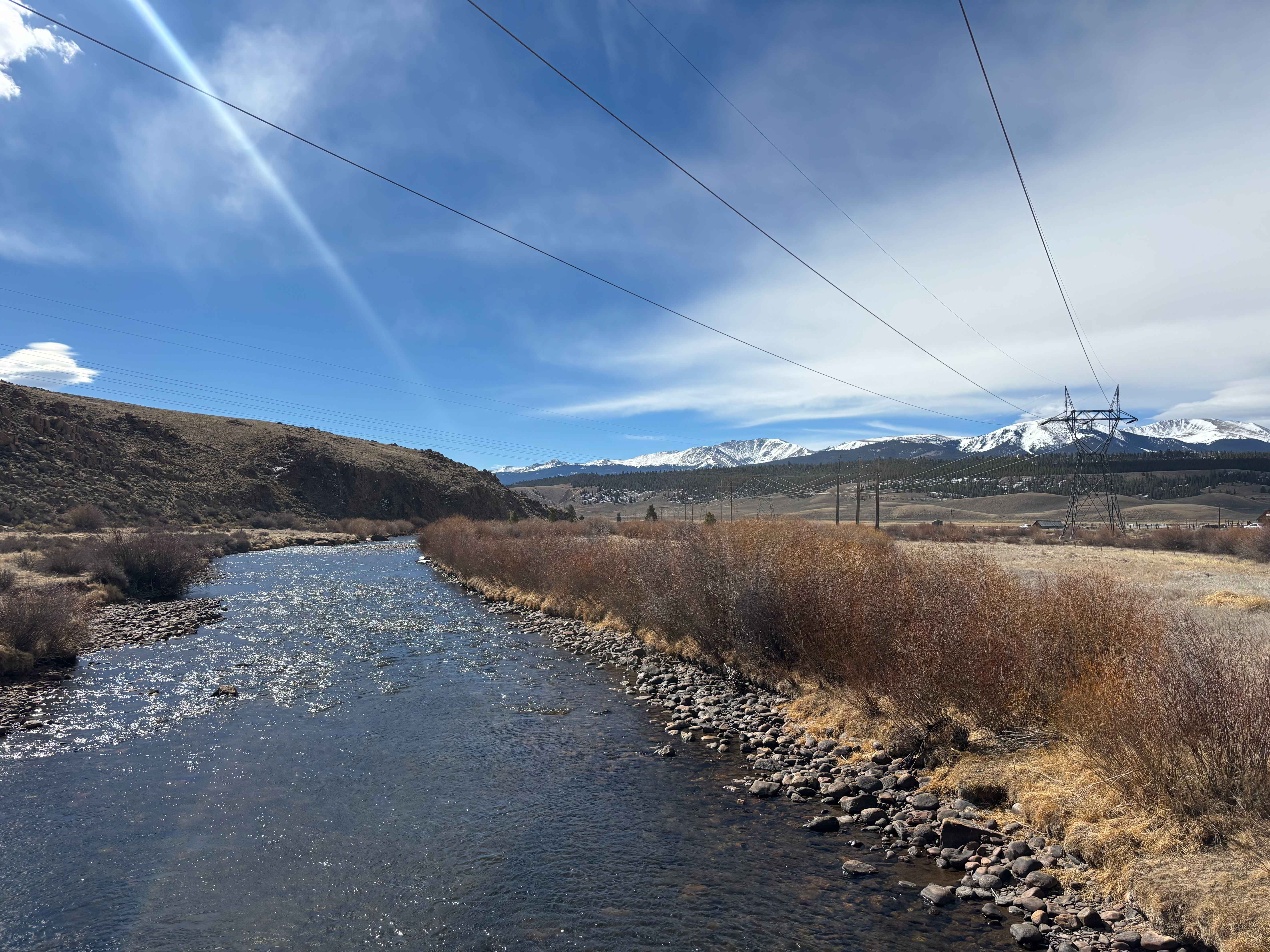
Old Stagecoach Road
Total Miles
1.9
Tech Rating
Easy
Best Time
Spring, Summer, Fall, Winter
Learn more about Old Tin Cup Trail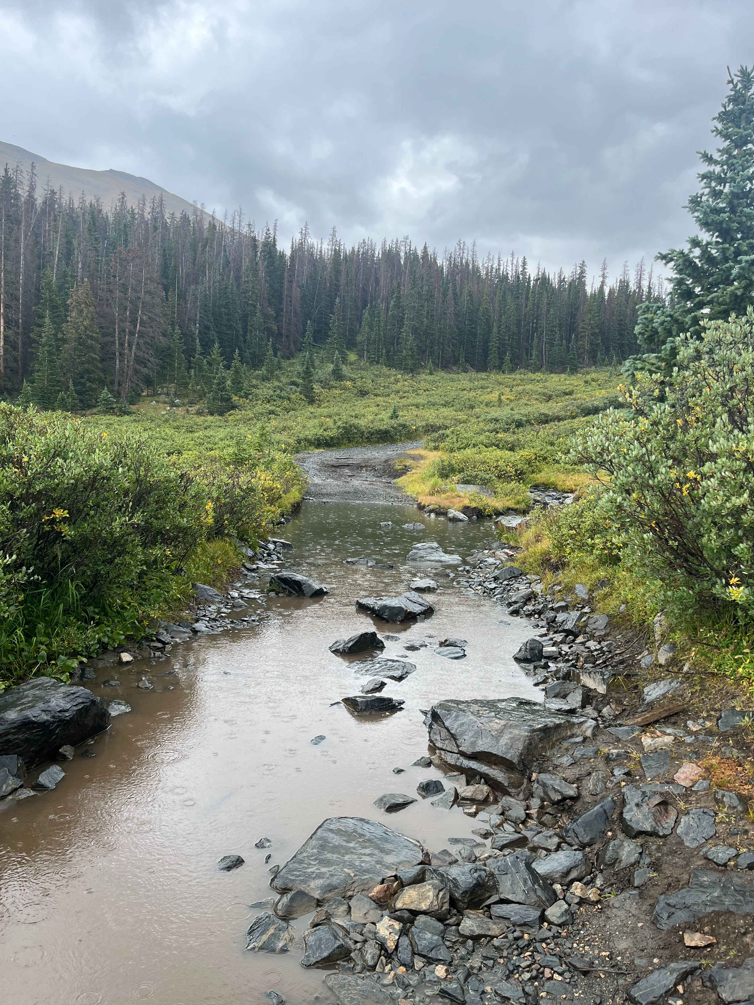
Old Tin Cup Trail
Total Miles
0.5
Tech Rating
Moderate
Best Time
Summer, Fall
Learn more about Old Woman Creek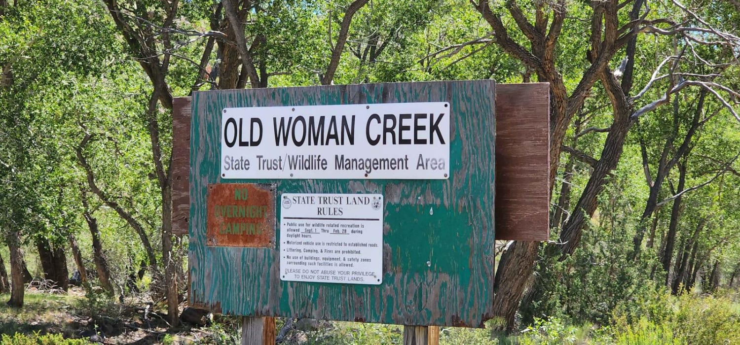
Old Woman Creek
Total Miles
3.4
Tech Rating
Easy
Best Time
Spring, Summer, Fall
Learn more about Oliver Twist Lake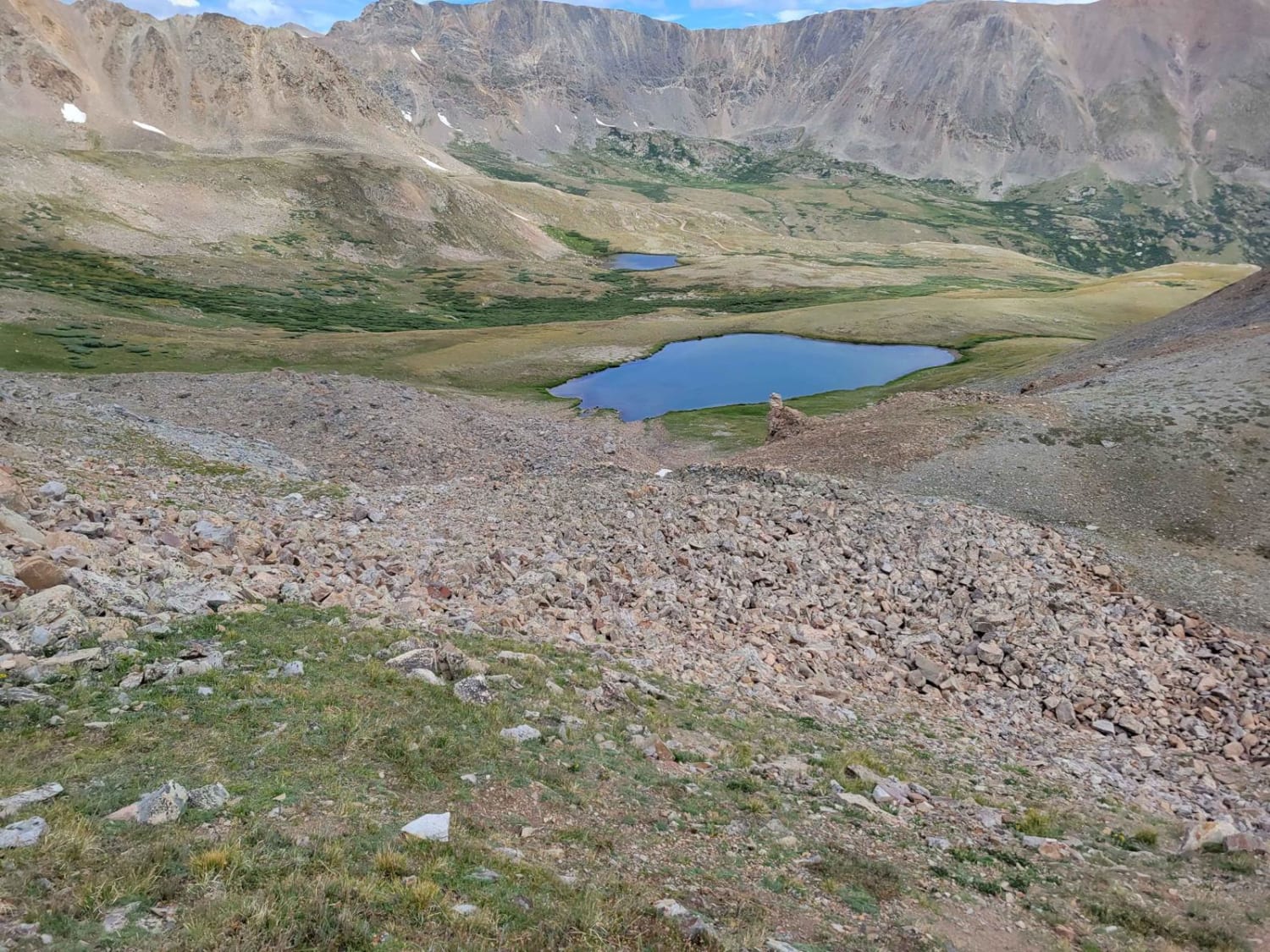
Oliver Twist Lake
Total Miles
1.0
Tech Rating
Easy
Best Time
Summer, Fall, Spring
Learn more about Ophir Pass, Alta Lakes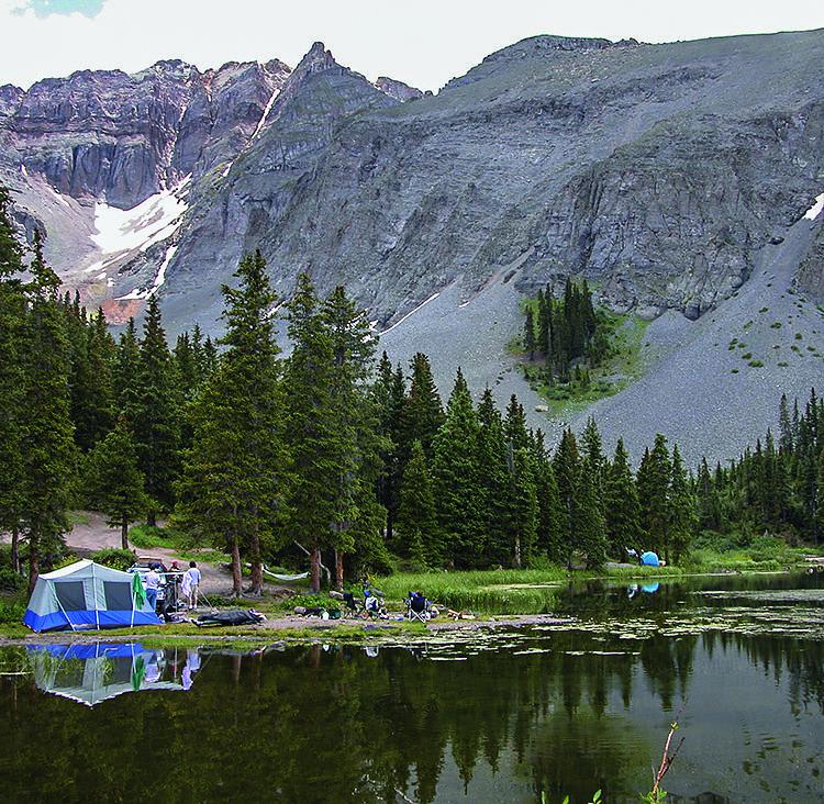
Ophir Pass, Alta Lakes
Total Miles
16.2
Tech Rating
Moderate
Best Time
Summer, Fall
Learn more about Orange Loop, North Fruita Desert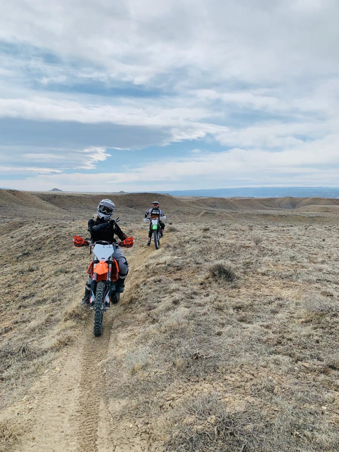
Orange Loop, North Fruita Desert
Total Miles
15.1
Tech Rating
Moderate
Best Time
Spring, Summer, Fall
Learn more about Ormiston Point Road
Ormiston Point Road
Total Miles
11.2
Tech Rating
Easy
Best Time
Spring, Fall, Summer
ATV trails in Colorado

Learn more about 16 Road, Coal Gulch
16 Road, Coal Gulch
Total Miles
14.1
Tech Rating
Easy
Best Time
Spring, Fall


UTV/side-by-side trails in Colorado
Learn more about 16 Road, Coal Gulch
16 Road, Coal Gulch
Total Miles
14.1
Tech Rating
Easy
Best Time
Spring, Fall

The onX Offroad Difference
onX Offroad combines trail photos, descriptions, difficulty ratings, width restrictions, seasonality, and more in a user-friendly interface. Available on all devices, with offline access and full compatibility with CarPlay and Android Auto. Discover what you’re missing today!