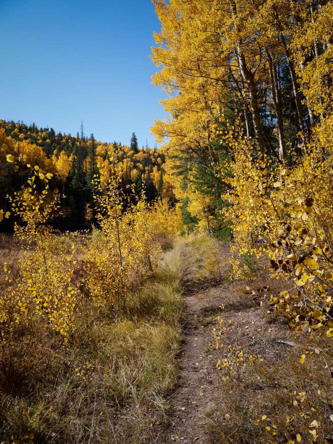
Off-Road Trails in Colorado
Discover off-road trails in Colorado
Learn more about Nipple Peak ATV Trail
Nipple Peak ATV Trail
Total Miles
4.3
Tech Rating
Easy
Best Time
Summer, Fall
Learn more about No See Um ATV Trail
No See Um ATV Trail
Total Miles
5.7
Tech Rating
Easy
Best Time
Summer, Fall
Learn more about North & Middle Fork of the Swan River
North & Middle Fork of the Swan River
Total Miles
13.6
Tech Rating
Moderate
Best Time
Summer, Fall
Learn more about North Beaver Creek (FS 123A)
North Beaver Creek (FS 123A)
Total Miles
1.5
Tech Rating
Easy
Best Time
Spring, Summer, Fall
Learn more about North Fork Cattle Creek Trail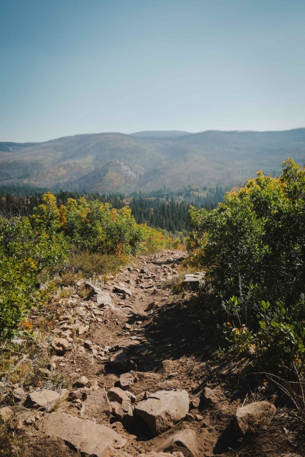
North Fork Cattle Creek Trail
Total Miles
5.1
Tech Rating
Moderate
Best Time
Summer
Learn more about North Fork Clear Creek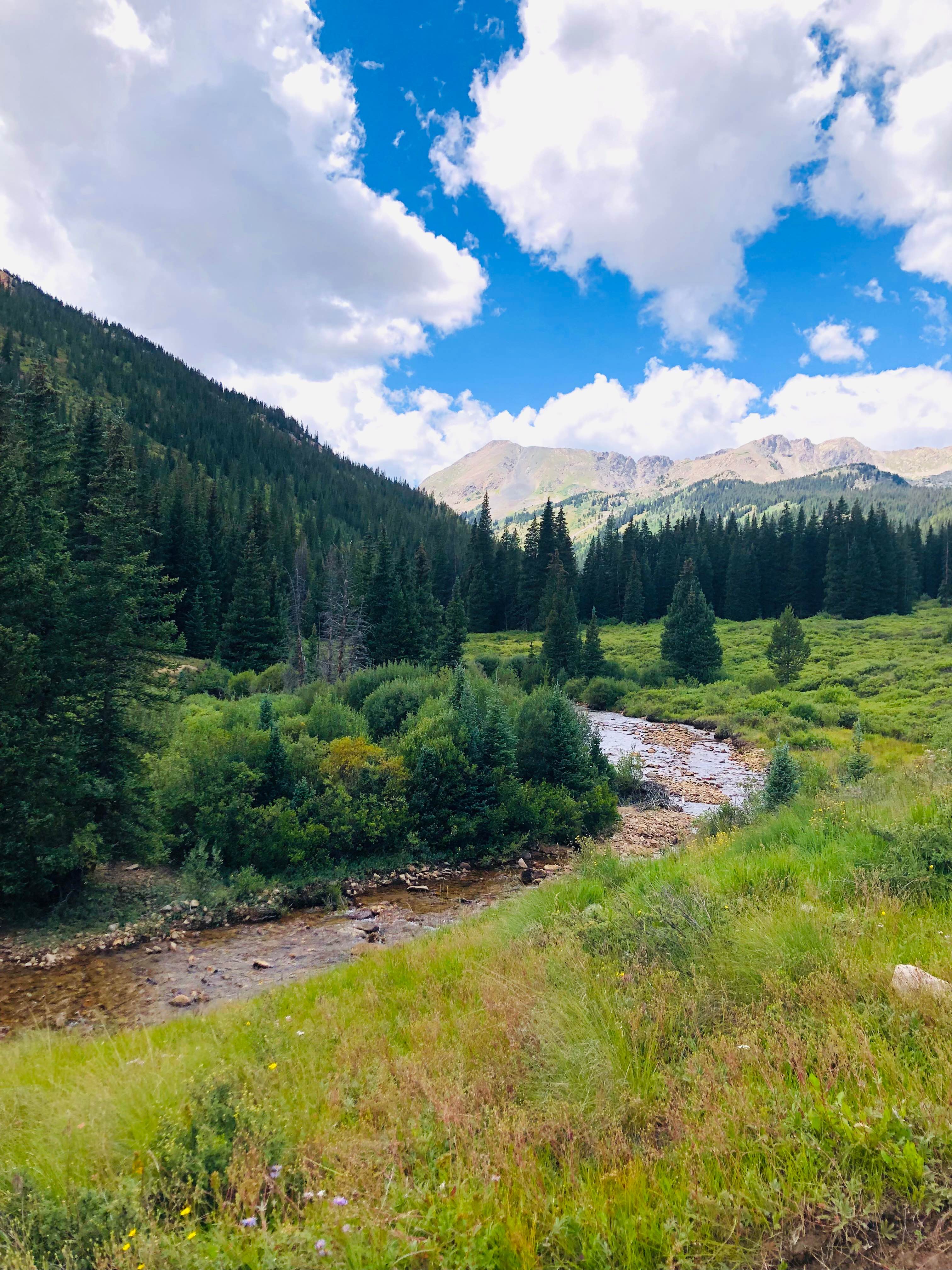
North Fork Clear Creek
Total Miles
2.1
Tech Rating
Easy
Best Time
Spring, Summer, Fall
Learn more about North Henson Creek Road 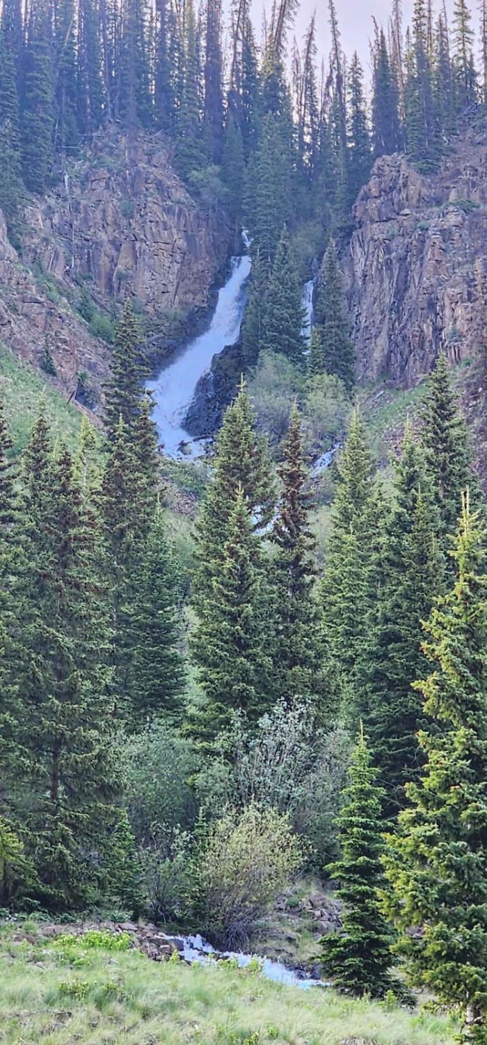
North Henson Creek Road
Total Miles
4.2
Tech Rating
Easy
Best Time
Summer
Learn more about North Porcupine Trail
North Porcupine Trail
Total Miles
2.6
Tech Rating
Easy
Best Time
Summer, Spring, Fall
Learn more about Nunn Creek Cutoff Road
Nunn Creek Cutoff Road
Total Miles
3.4
Tech Rating
Moderate
Best Time
Summer, Fall
Learn more about Nut-N-2-It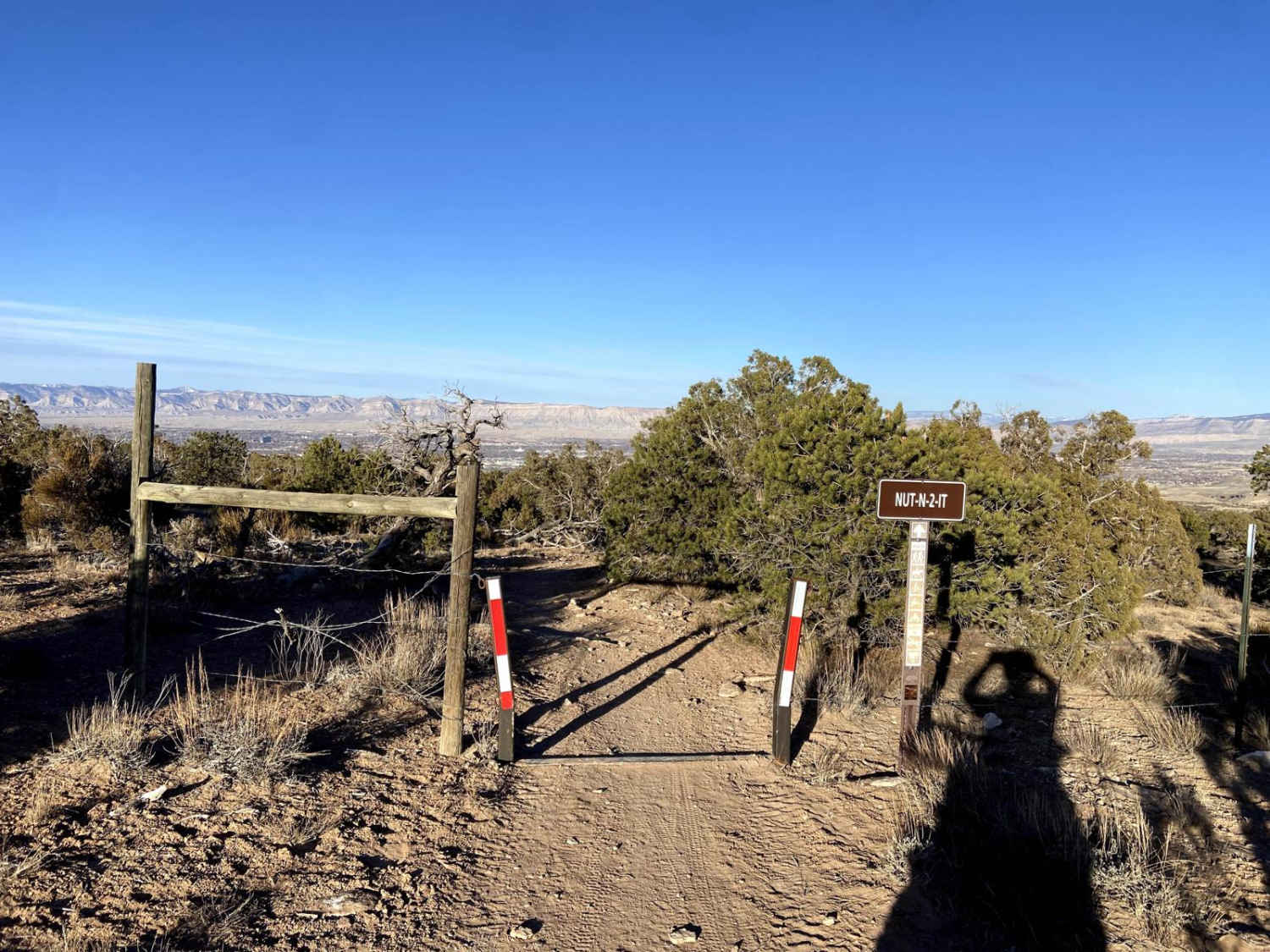
Nut-N-2-It
Total Miles
0.7
Tech Rating
Easy
Best Time
Spring, Summer, Fall, Winter
Learn more about Oak Escape South Rampart
Oak Escape South Rampart
Total Miles
4.1
Tech Rating
Easy
Best Time
Spring, Summer, Fall
Learn more about Observatory Rock Road FS 148
Observatory Rock Road FS 148
Total Miles
2.0
Tech Rating
Easy
Best Time
Summer, Fall
Learn more about Oil well Flats RD BLM 5941
Oil well Flats RD BLM 5941
Total Miles
1.8
Tech Rating
Easy
Best Time
Spring, Summer, Fall, Winter
Learn more about Oil Well Flats Road BLM 5940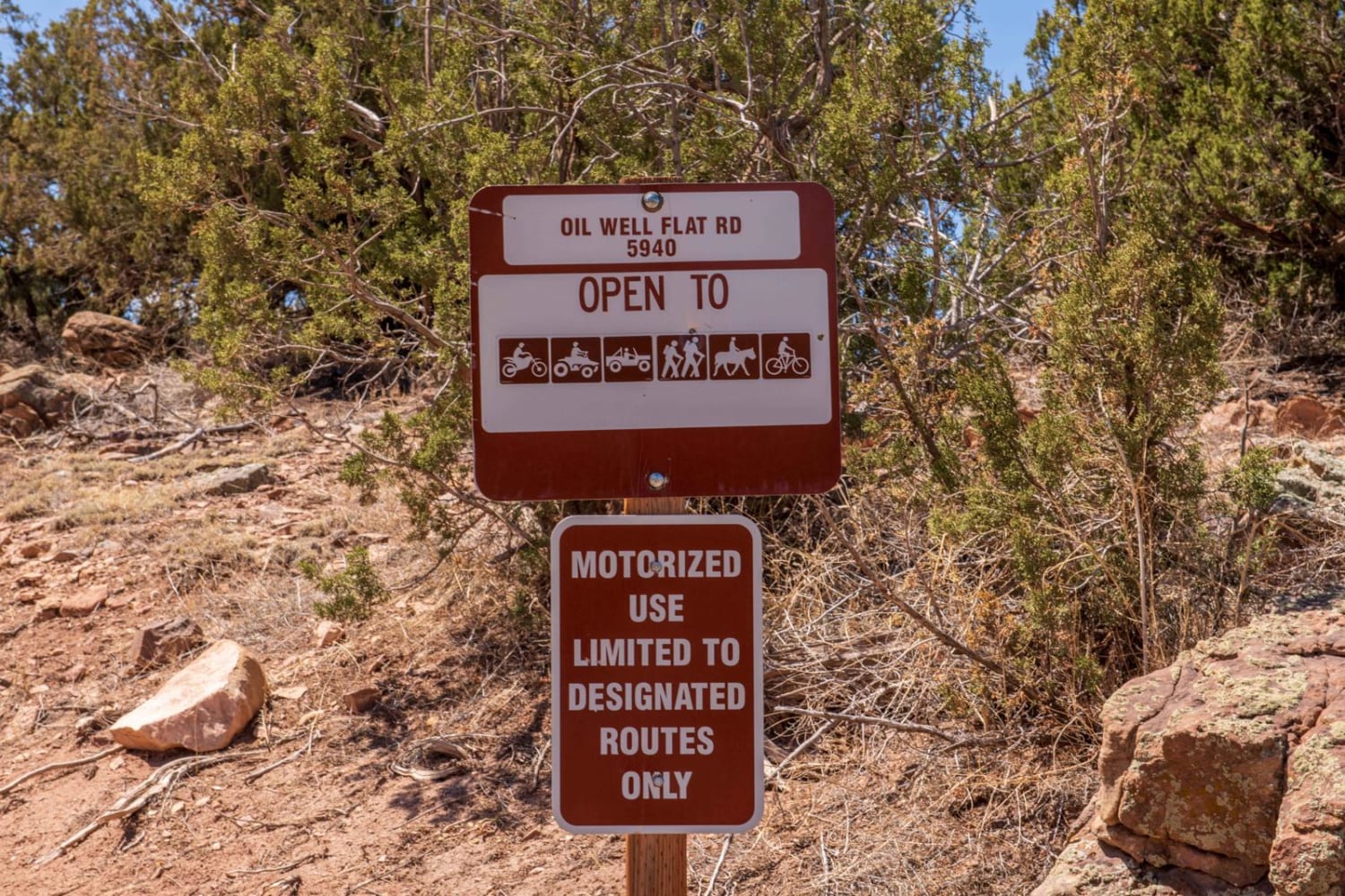
Oil Well Flats Road BLM 5940
Total Miles
1.5
Tech Rating
Easy
Best Time
Winter, Fall, Summer, Spring
Learn more about Old Chalk Rd (Co Rd 292)
Old Chalk Rd (Co Rd 292)
Total Miles
6.3
Tech Rating
Easy
Best Time
Spring, Summer, Fall
Learn more about Old Dry Drainage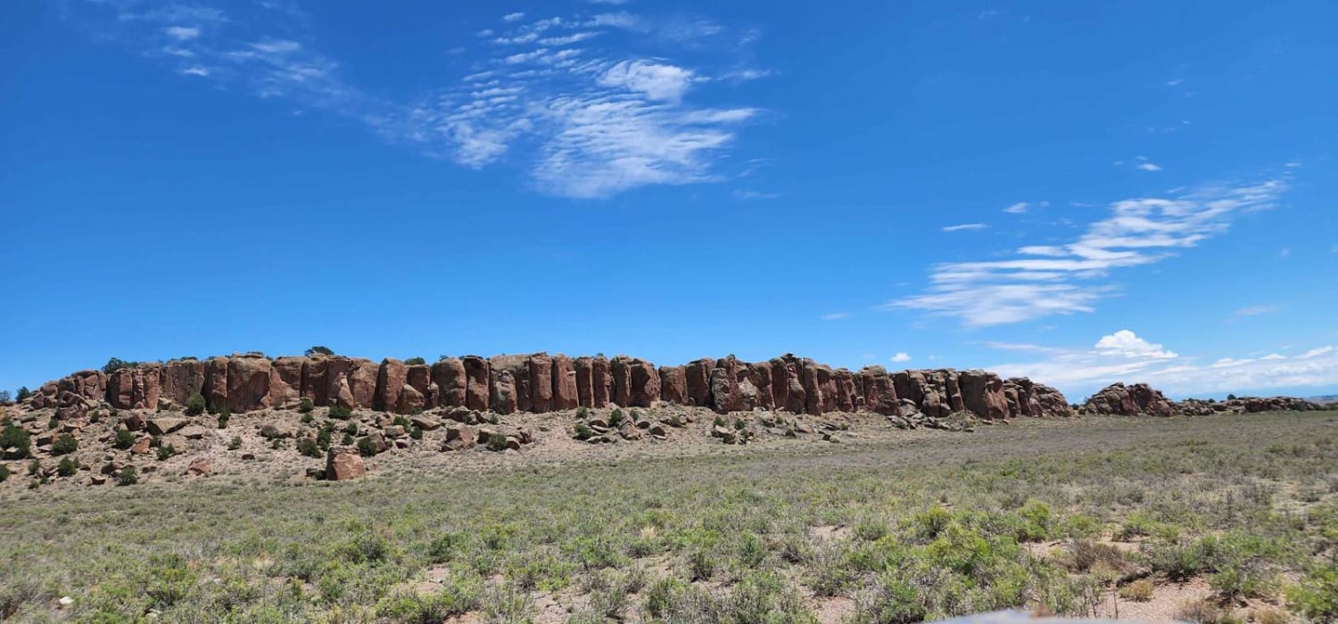
Old Dry Drainage
Total Miles
3.5
Tech Rating
Easy
Best Time
Spring, Summer, Fall
Learn more about Old Fall River Road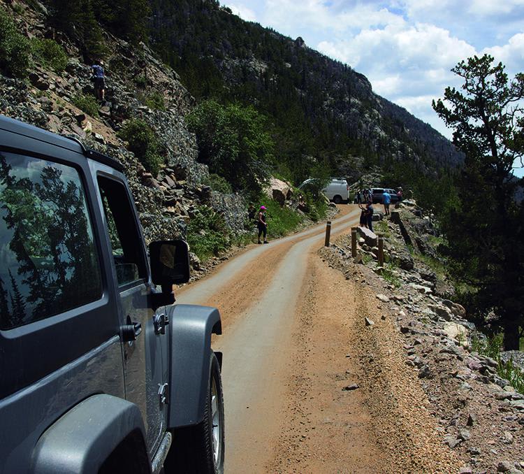
Old Fall River Road
Total Miles
8.9
Tech Rating
Easy
Best Time
Summer, Fall
ATV trails in Colorado

Learn more about 16 Road, Coal Gulch
16 Road, Coal Gulch
Total Miles
14.1
Tech Rating
Easy
Best Time
Spring, Fall


UTV/side-by-side trails in Colorado
Learn more about 16 Road, Coal Gulch
16 Road, Coal Gulch
Total Miles
14.1
Tech Rating
Easy
Best Time
Spring, Fall

The onX Offroad Difference
onX Offroad combines trail photos, descriptions, difficulty ratings, width restrictions, seasonality, and more in a user-friendly interface. Available on all devices, with offline access and full compatibility with CarPlay and Android Auto. Discover what you’re missing today!