North Fork Cattle Creek Trail
Total Miles
5.1
Technical Rating
Best Time
Summer
Trail Type
Single Track
Accessible By
Trail Overview
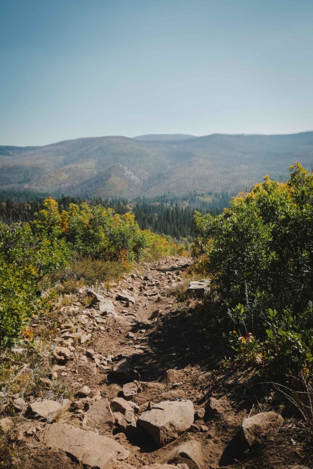
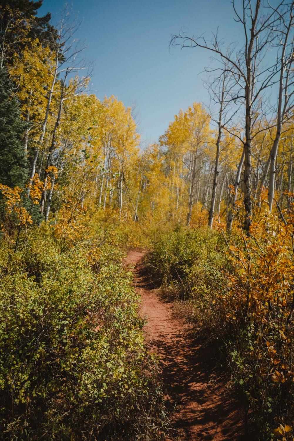
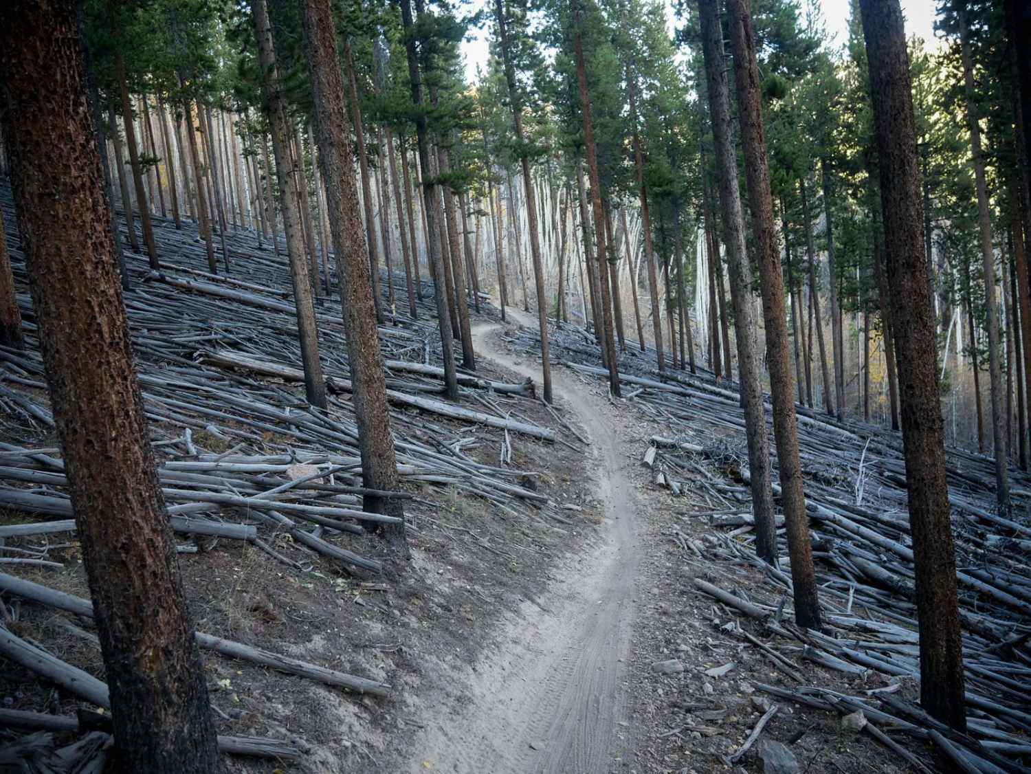
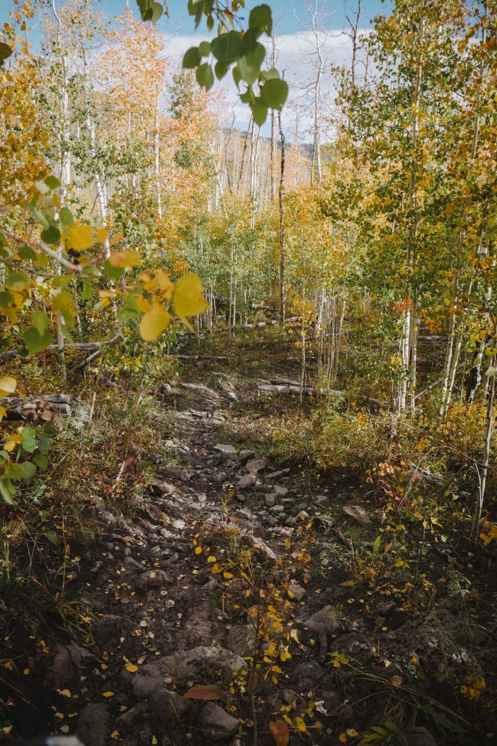
This fun single track in the White River National Forest is mostly a fast and flowy single track through an aspen tree forest between 8 and 9k feet in elevation. If riding north to south it's mostly a steady decline all the way to the intersection with Lone Pine. The northern half is more gradual and less rocky than the Lone Pine trail. It's a steady decline with lots of curves down to the intersection with the Milepost Connector, through a mix of exposed wide open hills with no trees, and then into an aspen tree forest. There's one big downed log on a slope to get over, and there's potential for more downfall because it goes through a recent burn area. There's a very fast, fun, flowy section in the middle. The south end has a few more steep and rocky descents, but they are still relatively easy. This trail opens for the season on June 21st and closes on October 10th.
Photos of North Fork Cattle Creek Trail
Difficulty
Easy to moderate single track with tight curves and some steep sections.
Status Reports
North Fork Cattle Creek Trail can be accessed by the following ride types:
- Dirt Bike
North Fork Cattle Creek Trail Map
Popular Trails

Switchback/ Privateer Road
Point Camp Trail
Radical Mine Road
The onX Offroad Difference
onX Offroad combines trail photos, descriptions, difficulty ratings, width restrictions, seasonality, and more in a user-friendly interface. Available on all devices, with offline access and full compatibility with CarPlay and Android Auto. Discover what you’re missing today!
