
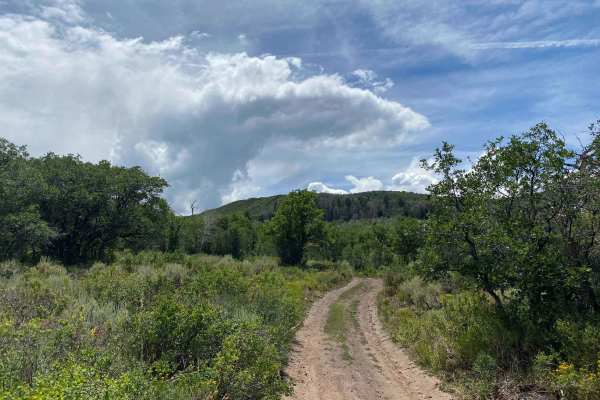
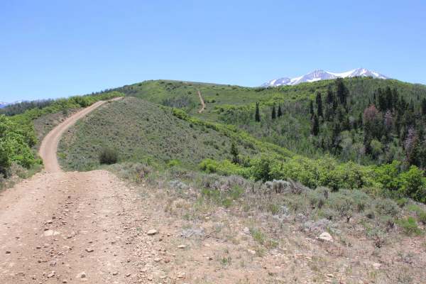
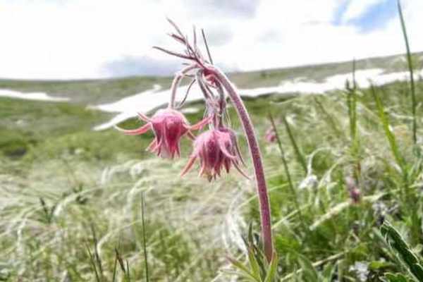
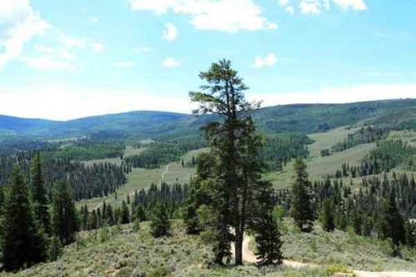
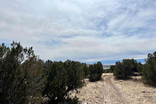
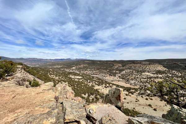
Off-Road Trails in Colorado
Discover off-road trails in Colorado
Off-Road Trails in Colorado
Discover the best off-road trails in Colorado. Browse trail maps, check difficulty ratings, and find your next adventure — whether you're looking for a quick ride or an all-day expedition.
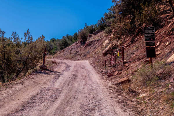
Dinosaur Flats Roads 5935B
This is a side road off 5935 which you will find at the T intersection about 1-mile fromm the main road. The route is about 1/2 mile long and ends short of where the maps indicated. This area is totally dedicated to shooting. The road is muddy after wet weather and is sometimes closed by BLM with a ...
Learn more about Dinosaur Flats Roads 5935B
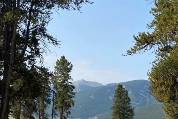
Union Park
This trail is easy and relaxing the entire way. The trail starts at the Taylor Park Trading Post. Proceed over the metal bridge to the south, or in a vehicle, take the paved road, head east, and then south on FR 752. A gentle climb through a forest teases you with a few small meadows until you drop ...
Learn more about Union Park
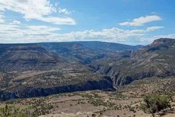
Smith Mountain
Smith Mountain is a fairly easy and enjoyable trail. BLM signs call it Smith Mountain Jeep Trail. Starting at the south end. this trail runs through the low country of Peach Valley then turns and climbs up to the west rim of the Gunnison Gorge. It then follows the rim for a distance then drops down...
Learn more about Smith Mountain
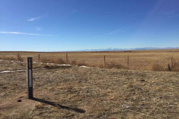
Crow Valley Loop
Pawnee National Grasslands offers a distinct landscape of wide-open views and rolling hills with ample opportunities for recreation. This area is a checkerboard of National Grasslands, State of Colorado, Central Plains Experimental Range, and private lands. The area contains numerous Forest Service ...
Learn more about Crow Valley Loop
Fr Road 664
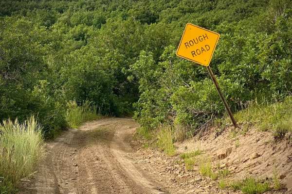
Big Branch road runs from Buckles Lake road (#663) to the Blue Creek road (#612). Right as you start the trail it warns of a rough road, following are several spots with large dips from the beginning, after that it becomes rut roads with a few rocks and possible mud holes. The trail crosses several ...
Learn more about Fr Road 664
Buckles Lake-Fr Rd 663
Buckles Lake road will take you to trailheads for a short hike to Buckles Lake or V-Rock. The Navajo Peak ATV trail and Big Branch road are four miles up from Hwy 84. A small area to the right as you turn on to the road is available to air up or down. There are some tremendous views with multiple di...
Learn more about Buckles Lake-Fr Rd 663
Devil Mountain-Fr Rd 626
Camping, Jeeping and Hunting on Devil Mountain-Fr Rd 626 There is some space when you first turn onto the trail from Hwy 160 to air up or down. After that area the Devil Mountain trail is pretty much uphill. The road is rocky so high clearance 4x4 vehicles are recommended as some of the climbs are s...
Learn more about Devil Mountain-Fr Rd 626
Pool Table Road
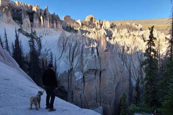
Pool Table Road goes to the Wheeler Geographic area, one of two places in Colorado that have Hoodoos. It is a long winding road, about 1/2 of it is annoyingly bumpy but drivable in an average stock Jeep or truck. There is a section that is heavily rutted but can be done with careful wheel placement....
Learn more about Pool Table Road
Over the Crown: BLM Road #8324
BLM Road #8324 provides a lengthy adventure around the crown and can act as an extension loop to BLM Road 8230. From this trail, you will see great views of Mt. Sopris, the Elk Range, Carbondale, and Basalt. This road is lightly used, and is overgrown at some points - so watch out for pin striping. ...
Learn more about Over the Crown: BLM Road #8324
The Crown: BLM Road #8320
The Crown offers sweeping views of the Elk Range, Basalt, and Carbondale. See incredible views of Mount Sopris and Capitol Peak. This trail is generally one car length wide, and can get steep at times, but doesn't get very technical. Be on the lookout for mountain bikers, grazing cattle, horses, and...
Learn more about The Crown: BLM Road #8320
Browns & Breakneck
Most people start on the southern leg, about 5 miles south of Fairplay. Doing the loop, plus Lamb Mountain is 20 miles.The main loop of Browns and Breakneck Passes is mostly in the trees. There are groves of aspen on each end of the loop. The southern leg is extremely narrow, and there are long s...
Learn more about Browns & Breakneck
Little Cimarron Creek
This is an easy drive along a washboard logging road that winds through the National Forest following the Little Cimarron Creek and ends near tree line. Beautiful meadows and aspen groves line the trail. You will encounter occasional logging trucks. Numerous hiking trails available to explore alo...
Learn more about Little Cimarron Creek
Onemile
Onemile is a fairly short Jeep trail near Almont. (not actually one mile) It winds through a few areas of trees and many areas of open sagebrush with great views of the surrounding mountains and creeks. Not an alpine trail, but a very enjoyable trip. This photo represents our overall impression of...
Learn more about Onemile
Roubideau Jeep Trail
This is a 12-mile loop trail off Divide Road beginning 30 miles from Montrose. We did this trail by following a fence line up the east leg to join the original Roubideau Jeep Trail. We then followed the original trail northwest until intersecting a better road. We followed this better road south do...
Learn more about Roubideau Jeep Trail
Patton Canyon Lookout - BLM#6102H
Trail#6102H is one of two sites drivable by a full-size 4x4 towards a scenic site where you can see Patton Canyon and Beaver Creek in the valley below as well as ruins of an old damn that collapse in 1921. Take a short walk toward the end of the cliff to see the panoramic view of the valley below. T...
Learn more about Patton Canyon Lookout - BLM#6102H
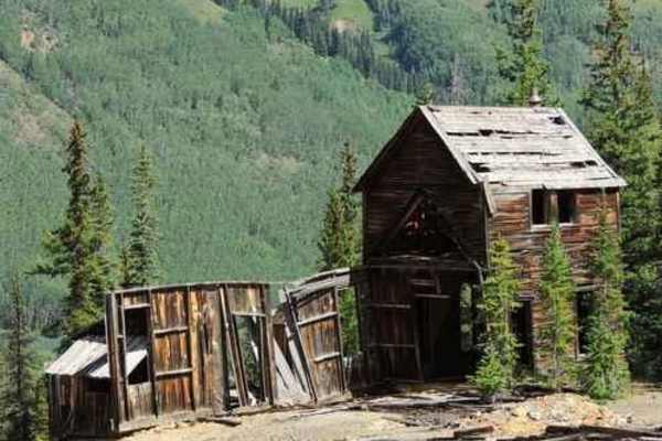
Red Mountain Pass
Red Mountain Pass is an easy Jeep trail that features old mining structures and great alpine scenery. You'll connect with Highway 550 near the middle of the trail, so it can be divided into two sections. The northern section is visible from the Red Mountain Mining History Viewpoint on Highway 550. T...
Learn more about Red Mountain Pass
Beaver Creek Lookout - BLM#6102J
Trail#6102J is one of two sites drivable by a full-size 4x4 towards a scenic site where you can see Patton Canyon and Beaver Creek in the valley below as well as ruins of an old damn that collapse in 1921. Take a short walk toward the end of the cliff to see the panoramic view of the valley below. T...
Learn more about Beaver Creek Lookout - BLM#6102J
Shaeffer Dam Loop - BLM#6102K
Penrose Commons OHV Trail# 6102K is the easternmost trail of the Penrose Commons OHV recreational site. Majority of the trail traverses along the top edge of a valley overlooking the scenic cliffs of Patton Canyon and Beaver Creek. This is a site of the historic Schaeffer Dam collapse in June 1921 w...
Learn more about Shaeffer Dam Loop - BLM#6102K
South Calico
From the trailhead off of HWY 145, the trail starts an immediate climb up a gnarly tight single track that is riddled with roots, rocks, and boulders. The trail climbs constantly up towards Calico Peak. This trail is not for beginners. It's pretty darn tough from start to finish. When wet, portions ...
Learn more about South Calico
Four Mile Falls & Lake Trails-Fr Rd 645
Four Mile Falls, Four Mile Lake and Anderson trails are north on Four Mile road out of Pagosa Springs. These are very popular trails since they are so close to Pagosa Springs and traverse part of the Weminuche Wilderness. The road itself is part of a beautiful scenic loop drive when combined with P...
Learn more about Four Mile Falls & Lake Trails-Fr Rd 645
ATV trails in Colorado
Explore ATV-friendly trails in Colorado. These trails are accessible for vehicles up to 50 inches wide, perfect for ATVs and smaller off-road machines.
Dinosaur Flats Roads 5935B
This is a side road off 5935 which you will find at the T intersection about 1-mile fromm the main road. The route is about 1/2 mile long and ends short of where the maps indicated. This area is totally dedicated to shooting. The road is muddy after wet weather and is sometimes closed by BLM with a ...
Learn more about Dinosaur Flats Roads 5935B
Union Park
This trail is easy and relaxing the entire way. The trail starts at the Taylor Park Trading Post. Proceed over the metal bridge to the south, or in a vehicle, take the paved road, head east, and then south on FR 752. A gentle climb through a forest teases you with a few small meadows until you drop ...
Learn more about Union Park
Smith Mountain
Smith Mountain is a fairly easy and enjoyable trail. BLM signs call it Smith Mountain Jeep Trail. Starting at the south end. this trail runs through the low country of Peach Valley then turns and climbs up to the west rim of the Gunnison Gorge. It then follows the rim for a distance then drops down...
Learn more about Smith Mountain
Fr Road 664
Big Branch road runs from Buckles Lake road (#663) to the Blue Creek road (#612). Right as you start the trail it warns of a rough road, following are several spots with large dips from the beginning, after that it becomes rut roads with a few rocks and possible mud holes. The trail crosses several ...
Learn more about Fr Road 664
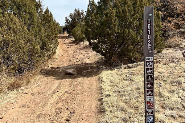
UTV/side-by-side trails in Colorado
Find UTV and side-by-side trails in Colorado. These trails accommodate vehicles up to 60 inches wide, ideal for UTVs, side-by-sides, and wider off-road rigs.
Dinosaur Flats Roads 5935B
This is a side road off 5935 which you will find at the T intersection about 1-mile fromm the main road. The route is about 1/2 mile long and ends short of where the maps indicated. This area is totally dedicated to shooting. The road is muddy after wet weather and is sometimes closed by BLM with a ...
Learn more about Dinosaur Flats Roads 5935B
Union Park
This trail is easy and relaxing the entire way. The trail starts at the Taylor Park Trading Post. Proceed over the metal bridge to the south, or in a vehicle, take the paved road, head east, and then south on FR 752. A gentle climb through a forest teases you with a few small meadows until you drop ...
Learn more about Union Park
Smith Mountain
Smith Mountain is a fairly easy and enjoyable trail. BLM signs call it Smith Mountain Jeep Trail. Starting at the south end. this trail runs through the low country of Peach Valley then turns and climbs up to the west rim of the Gunnison Gorge. It then follows the rim for a distance then drops down...
Learn more about Smith Mountain
Fr Road 664
Big Branch road runs from Buckles Lake road (#663) to the Blue Creek road (#612). Right as you start the trail it warns of a rough road, following are several spots with large dips from the beginning, after that it becomes rut roads with a few rocks and possible mud holes. The trail crosses several ...
Learn more about Fr Road 664
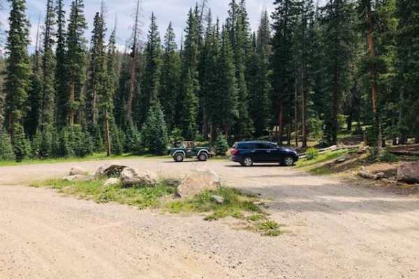
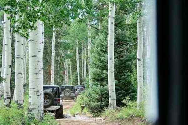
The onX Offroad Difference
onX Offroad combines trail photos, descriptions, difficulty ratings, width restrictions, seasonality, and more in a user-friendly interface. Available on all devices, with offline access and full compatibility with CarPlay and Android Auto. Discover what you're missing today!
Open Trail Map