Trail Overview
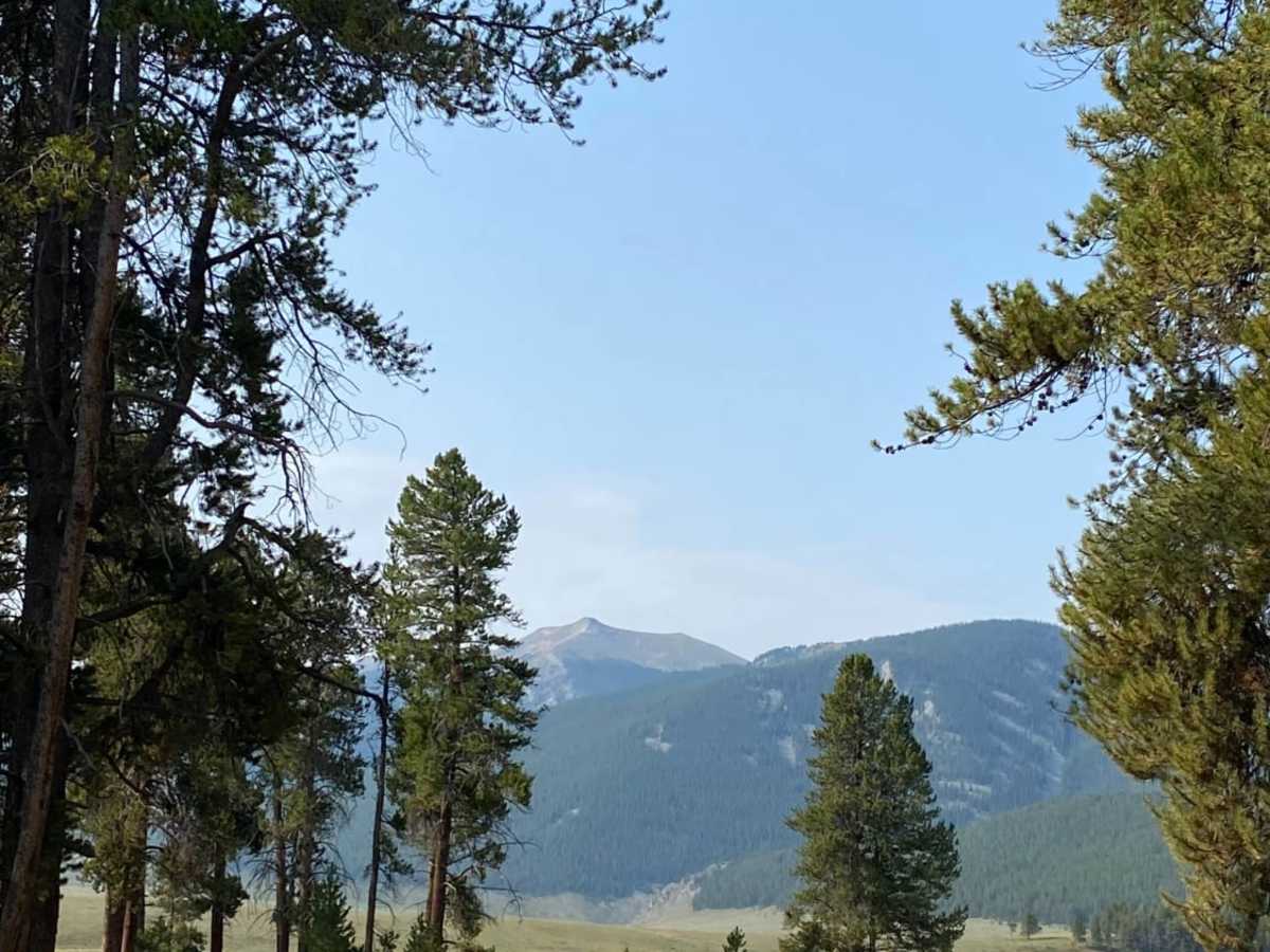
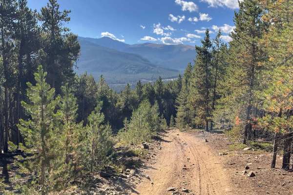
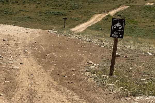
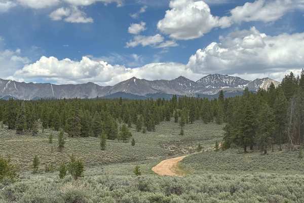
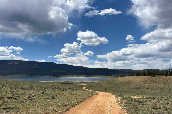
Union Park is an easy, relaxing 6.1-mile trail that is perfect for beginners, families, and scenic cruisers looking to explore the beautiful Gunnison National Forest. Starting near the Taylor Park Trading Post, the route climbs gently from an elevation of 9,365 feet through lush evergreen forests and open meadows before dropping into the expansive, spectacular basin of Union Park. Drivers of stock four-wheel-drive vehicles, OHVs, and SxSs can easily navigate the mild terrain while enjoying stunning views of the surrounding mountain peaks.
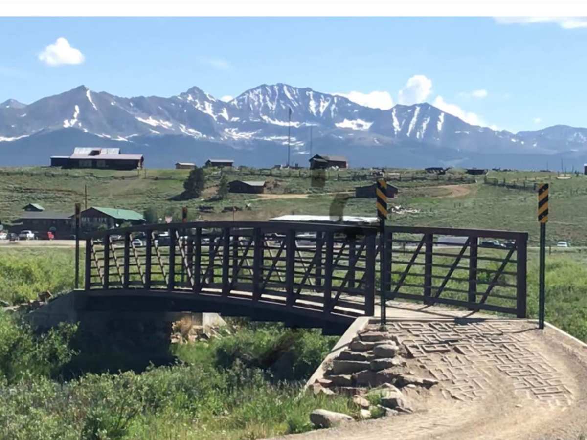
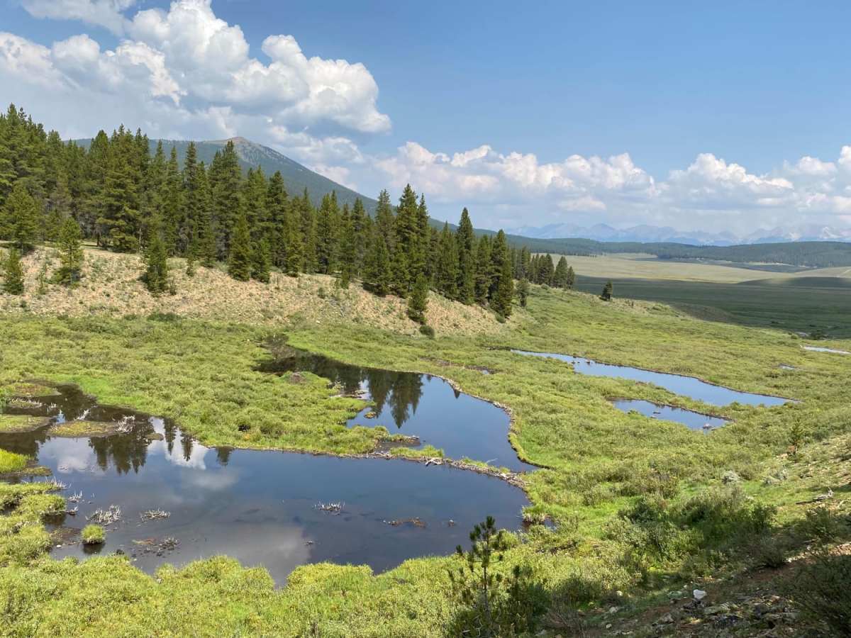
As you travel deeper into the park, the trail passes a picturesque cow camp dating back to the early 1900s that remains in active use today. Past this historic site, the route crosses Lottis Creek where the track narrows, becomes slightly rockier, and may feature minor washout holes that require a bit more caution. The trail eventually turns east and winds through scenic mountain country before concluding near a series of peaceful beaver ponds on Cross Creek.
Difficulty
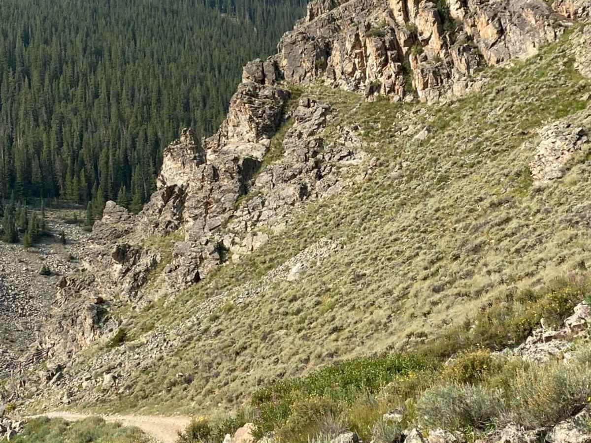
As you approach the picturesque cow camp, built in the early 1900s and still in use, the trail has some washout holes, gets rockier and more narrow.
History
During the Civil War, Confederate sympathizers in the area named their nearby settlement Virginia City (which was later renamed Tin Cup) to show support for the southern cause. In response, local Union sympathizers named this vast mountain meadow and valley Union Park.