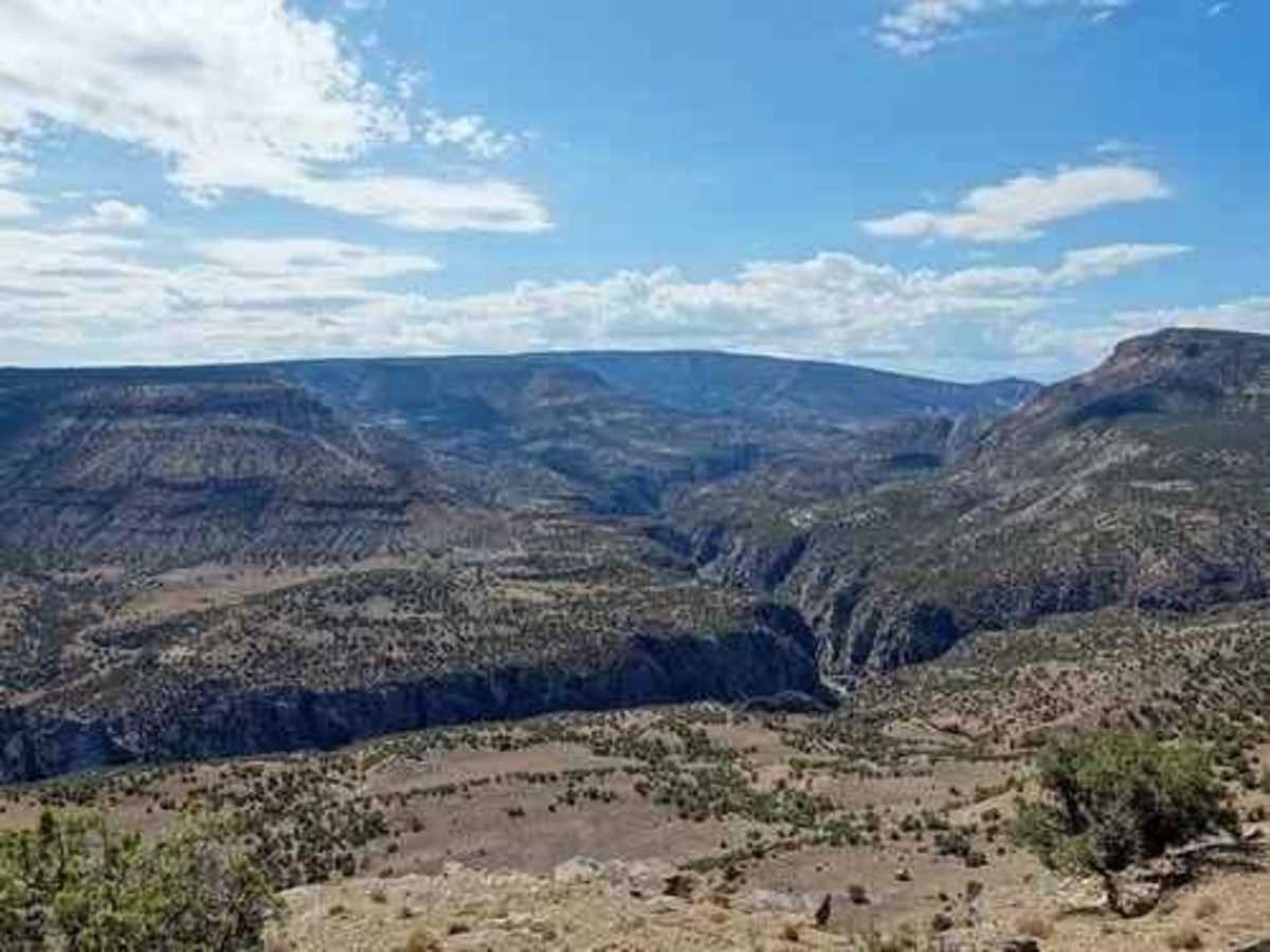
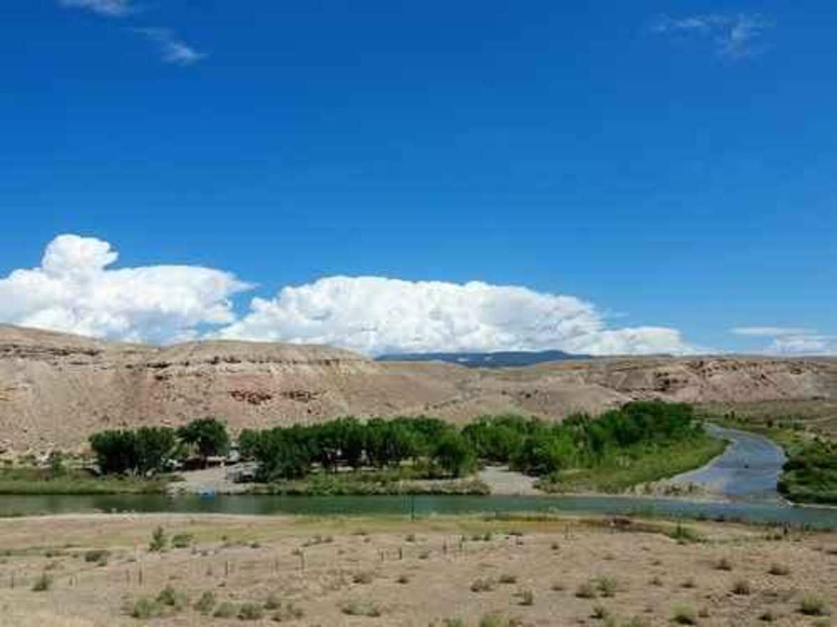
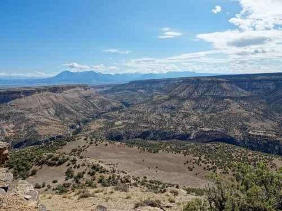
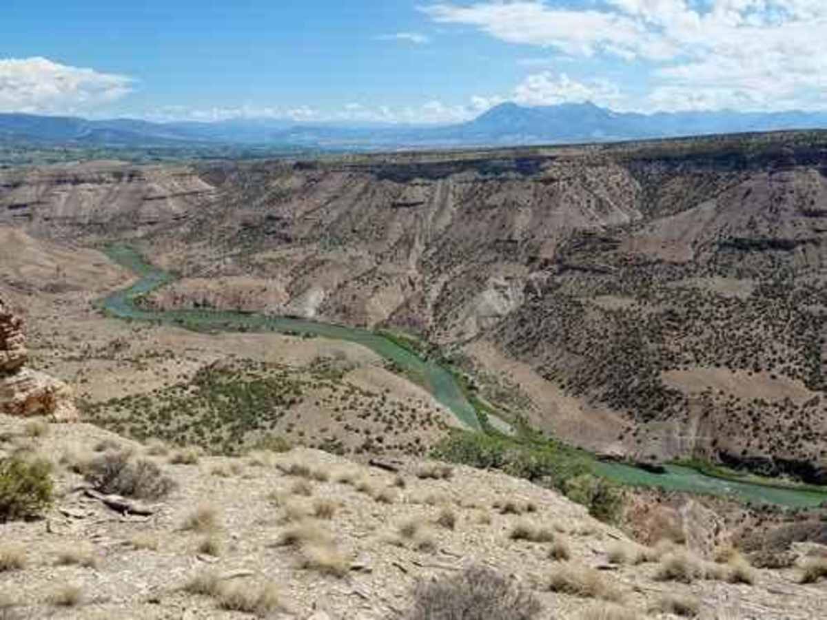
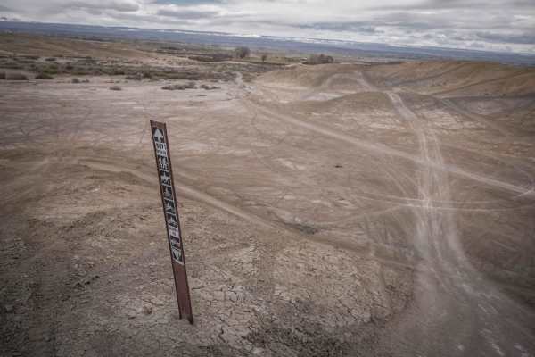
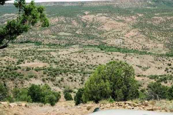
Trail Overview
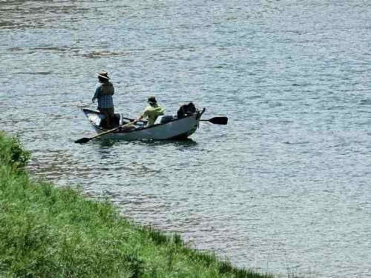
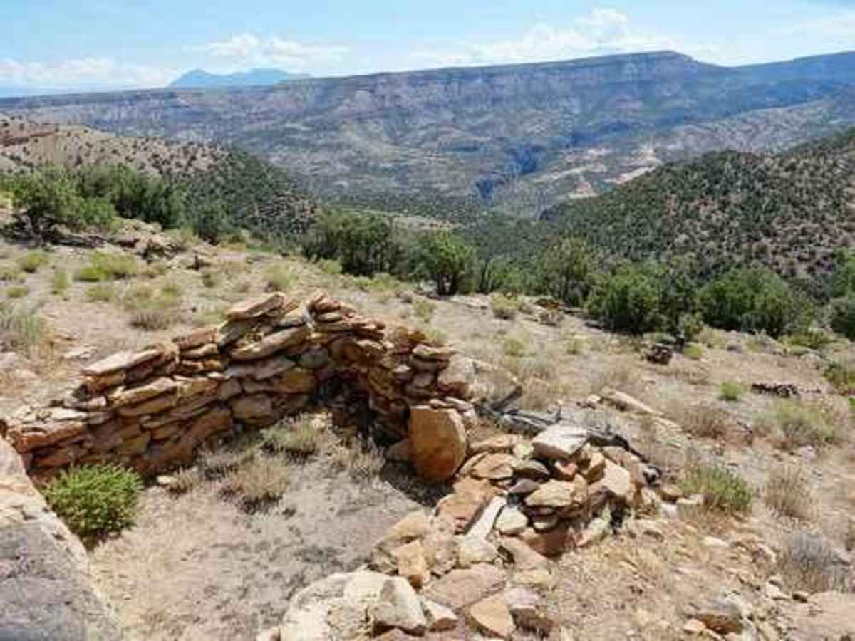
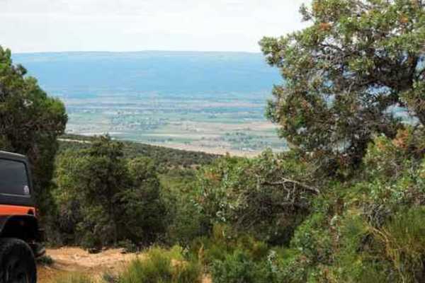
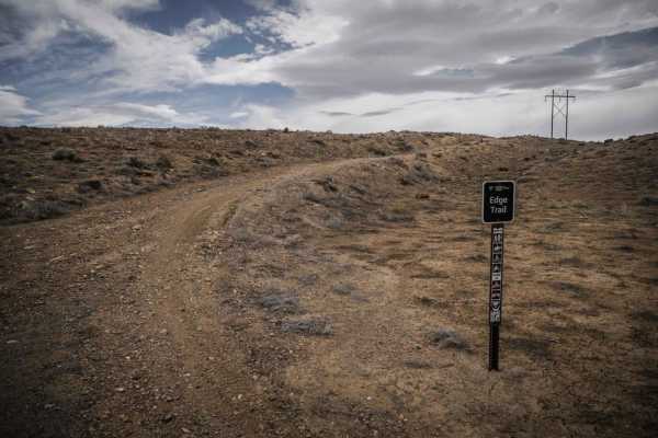
Smith Mountain is a fairly easy and enjoyable trail. BLM signs call it Smith Mountain Jeep Trail. Starting at the south end. this trail runs through the low country of Peach Valley then turns and climbs up to the west rim of the Gunnison Gorge. It then follows the rim for a distance then drops down to the Gunnison River and out to Highway 92. These caves are visible from the road climbing up to the rim. A nearby sign warns not to mess with artifacts. Follow the track from US 50 into the Peach Valley OHV Staging Area and privy, then head north along the Peach Valley Road. The area around the staging area is Adobe Hills, an area of hills with very little vegetation. After a few miles on the graded road, you head up to the rim above Gunnison Gorge. There is a great picnic area with pit toilets on the crest of the rim. This location has the remains of an old cabin and also a great view looking up the Black Canyon of the Gunnison. Go north along the rim for more great views. The road then turns away from the rim for a while and you can see the broad populated valley to the west. Continue until coming to a lesser road on the right. Take a hard right and climb to the best viewpoint on the trip. North views show Gunnison Gorge below the National Park and south views show the Smith Fork of the Gunnison. Follow the lesser road along the river and come to a great overlook of the river as the gorge begins to widen. The very northeastern point of this track is a boat launch across from the confluence with the North Fork of the Gunnison. Drive along the Gunnison as you end the trip. This is a popular stretch of river for fishermen and campers.