Trail Overview
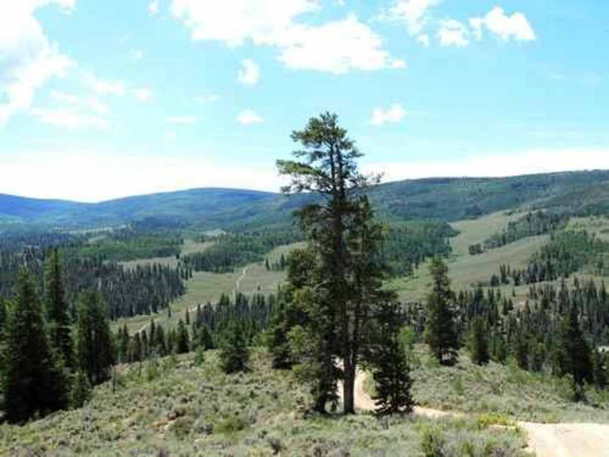
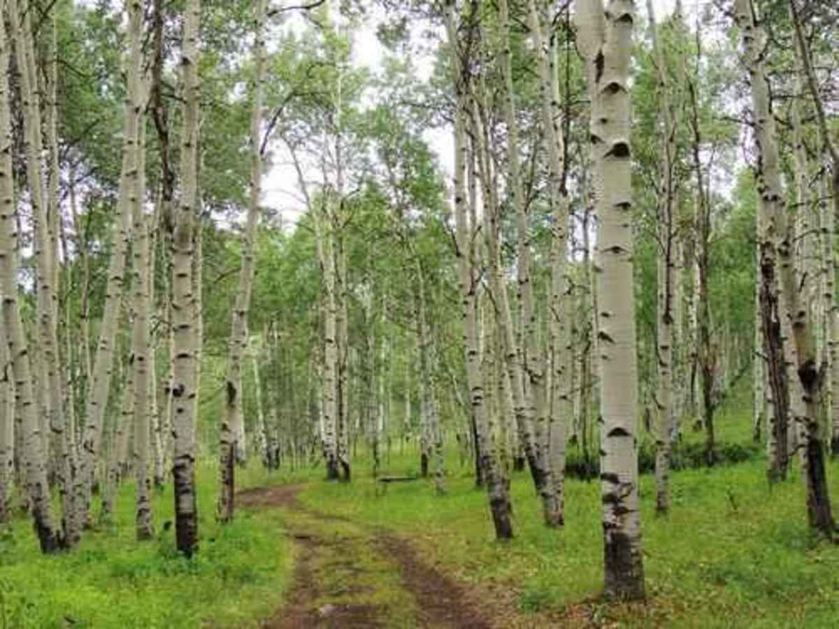
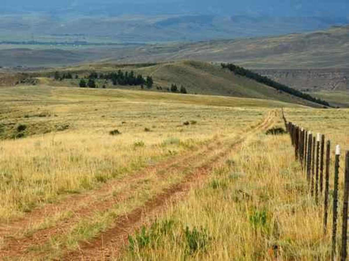
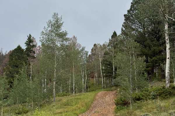
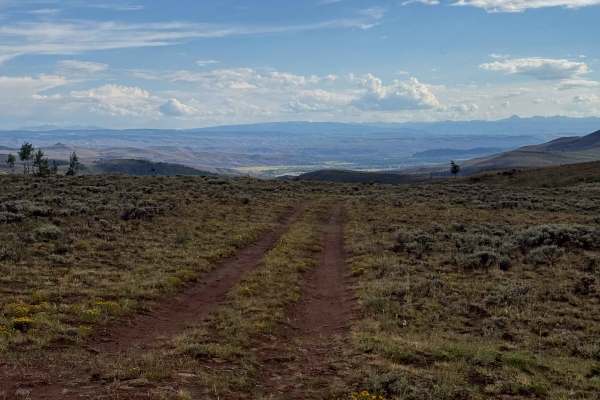
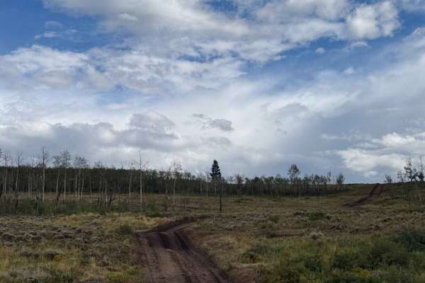
Onemile is an engaging 21.3-mile unpaved route near Almont, Colorado, perfect for drivers of high-clearance four-wheel-drive vehicles and SxSs looking for scenic mountain vistas and diverse terrain without extreme difficulty. The trail winds through groves of trees and expansive sagebrush meadows, climbing from a low of 8,048 feet to a peak elevation of 10,137 feet. Throughout the journey, offroaders are treated to sweeping views of the surrounding peaks, including nearby Biebel Point and Fossil Point, while navigating a total elevation gain of over 4,400 feet. The route is generally narrow but manageable, earning a technical rating of 3, making it highly accessible for stock utility vehicles with a capable driver.
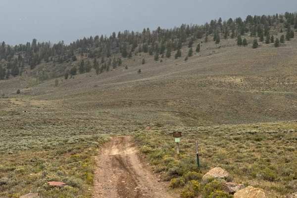
Travelers are highly encouraged to start the journey from the north end off Forest Road 742, which allows for breathtaking scenic vistas while descending the western portion back toward Almont and Highway 135. The northern section features the trail’s most demanding elements, including numerous steep hill climbs that require a low-range transfer case and careful throttle control. Drivers must also navigate a rim-deep beaver pond crossing situated along this northern stretch, demanding sufficient ground clearance and water-fording capability. While there are several intersecting spurs and nearby routes like Lost Canyon Road that offer a quick gravel path to Gunnison, staying on the main track delivers a highly rewarding, moderate day on the trail.