
Off-Road Trails
Near Florissant, Colorado
Off-Road Trails Near Florissant, Colorado
Discover the best offroad trails near you. Browse trail maps, check difficulty ratings, and find your next adventure — whether you're looking for a quick ride or an all-day expedition.
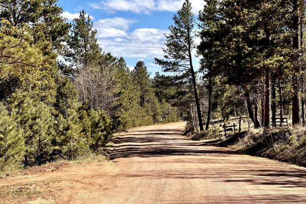
Wildhorn Road
Wildhorn Road (Teller County Road 3) is a scenic 4-mile light off-road trail consisting of mostly gravel and dirt. The trail connects through Pike National Forest from Florissant and towards popular trails in the area known as "The Gulches" and Phantom Creek. As you get closer North towards Pike Nat...
Learn more about Wildhorn Road
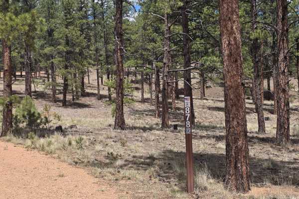
Forest Glen Road - FS 878
Forest Glen Road (FS 878) is located within the Pike National Forest outside the town of Lake George, Colorado. The trail can be accessed by Forest Glen Trail off U.S. Highway 24, or via Fish Creek Road (FS 877) off County Road 61. The trail is an easy, compacted dirt and gravel road that offers acc...
Learn more about Forest Glen Road - FS 878
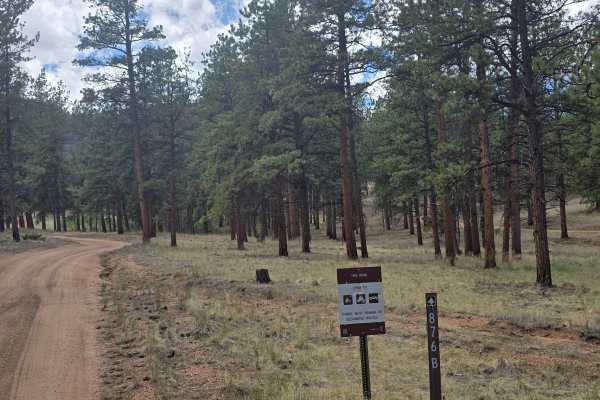
Borrow Pit Road - FS 876B
Borrow Pit Road (FS 876B) is located within the Pike National Forest outside the town of Lake George, Colorado. The easy, gravel and dirt trail can be accessed via County Road 61. The trail offers access to other forest roads and recreational activities, including dispersed camping opportunities.
Learn more about Borrow Pit Road - FS 876B
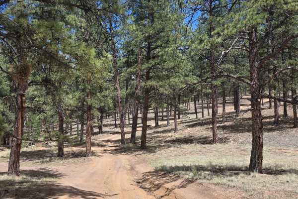
Buford's Mistake Road - FS 876A
Buford's Mistake Road (FS 876A) is located within the Pike National Forest outside the town of Lake George, Colorado. You must access the trail via County Road 61 to Boletes Road (FS 875), and then accessed via 3 Bears (FS 876). The trail is a loop off of 3 Bears (FS 876) that offers compacted grave...
Learn more about Buford's Mistake Road - FS 876A
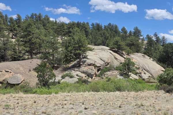
Fish Creek Road - FS 877
Fish Creek Road (FS 877) is located within the Pike National Forest off County Road 61 outside the town of Lake George, Colorado. The trail is an easy, dirt and gravel road that offers access to other forest roads and recreational activities, including dispersed camping opportunities.
Learn more about Fish Creek Road - FS 877
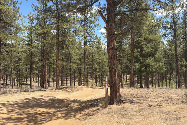
3 Bears - FS 876
3 Bears (FS 876) is located within the Pike National Forest outside the town of Lake George, Colorado. The trail is accessed via Boletes Road (FS 875) or Borrow Pit Road (FS 876B) from County Road 61. The trail consists of gravel and dirt with minor ruts. The trail allows access to other forest road...
Learn more about 3 Bears - FS 876
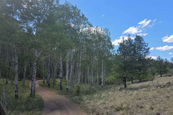
Dutch's Hair Road - FS 244E
Dutch's Hair Road (FS 244E) is located within the Pike National Forest, outside the town of Lake George, Colorado. From County Road 98, access the trail via Mistletoe Road (FS 244). The trail is an easy-to-moderate, out-and-back, dirt and gravel road that offers rutted sections, rock obstacles, and ...
Learn more about Dutch's Hair Road - FS 244E
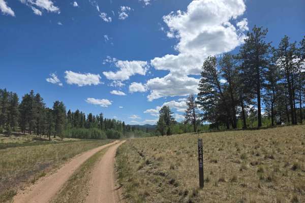
Nice Camp Road - FS 244A
Nice Camp Road (FS 244A) is an easy, dirt trail that is located within the Pike National Forest, outside the town of Lake George, Colorado. The trail can be accessed via County Road 98, and then via Mistletoe Road (FS 244). It offers access to other forest roads and recreational activities, includin...
Learn more about Nice Camp Road - FS 244A
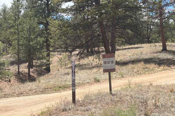
Boletes Road - FSR 875
Boletes Road - Forest Service Road 875, is located within the Pike National Forest off of County Road 61 outside the town of Lake George, CO. The trail consists of gravel and dirt and allows for access to other forest roads and recreational activities. Full width vehicles not allowed due to tight ar...
Learn more about Boletes Road - FSR 875
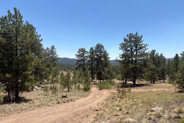
S.T.I.T. Road - FS 244B
S.T.I.T. Road (FS 244B) is an easy, out-and-back, dirt trail located within the Pike National Forest, outside the town of Lake George, Colorado. The trail is accessible via County Road 98, then Mistletoe Road (FS 244), and then via Nice Camp Road (FS 244A). The trail offers access to other forest ro...
Learn more about S.T.I.T. Road - FS 244B
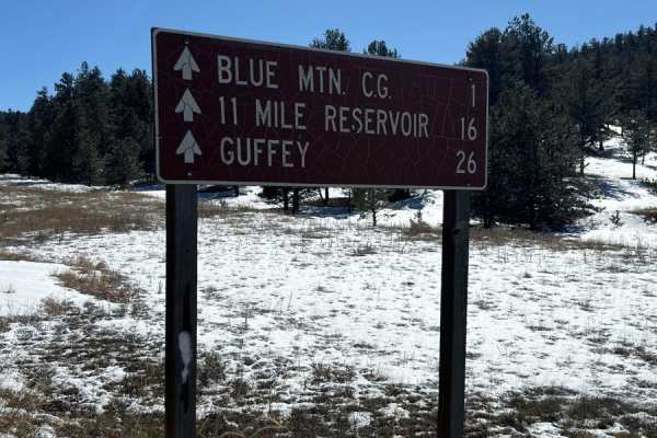
Lake George to 11 Mile
This is a decently well-maintained dirt road from Lake George to the backside of 11 Mile Reservoir. The road can have bad washboards or be muddy in places depending on the season. It's generally fine to drive in a stock SUV. There are several National Forest Campgrounds on several side roads if you ...
Learn more about Lake George to 11 Mile
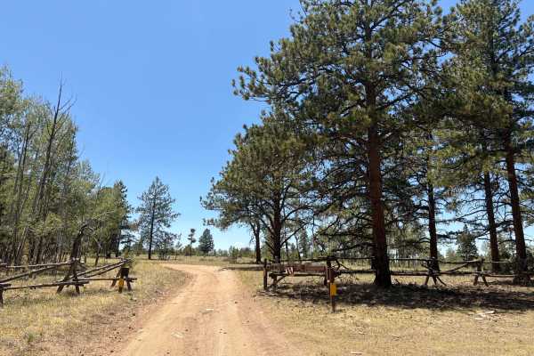
Burma Shave Road - FS 242
Burma Shave Road (FS 242) is an easy, dirt trail located within the Pike National Forest outside the town of Lake George, Colorado. The road is approximately 1.5 miles in length and offers access to other forest roads and recreational activities, including dispersed camping. The road is mostly packe...
Learn more about Burma Shave Road - FS 242
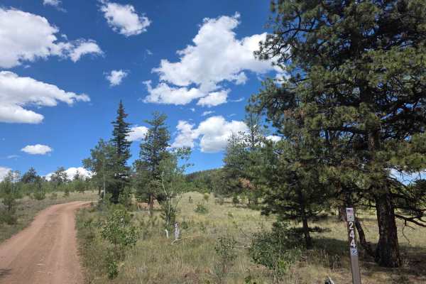
Mistletoe Road - FS 244
Mistletoe Road (FS 244) is located within the Pike National Forest off County Road 98 outside the town of Lake George, Colorado. The trail is an out-and-back, easy to moderate, 1.5-mile dirt and gravel road. It contains rocky obstacles, rutted sections, one off-camber spot, and a shelf road section ...
Learn more about Mistletoe Road - FS 244
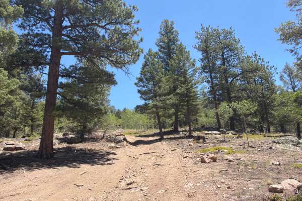
Genuine Road - FS 244D
Genuine Road (FS 244D) is an easy, out-and-back dirt trail located within the Pike National Forest outside the town of Lake George, Colorado. The road is accessible via County Road 98, then Mistletoe Road (FS 244), and then via Burma Shave Road (FS 242). The trail offers rocky sections, rutted areas...
Learn more about Genuine Road - FS 244D
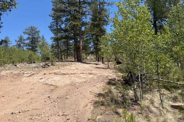
Great View Road - FS 245
Great View Road (FS 245) is an easy-to-moderate dirt trail that is located within the Pike National Forest, outside the town of Lake George, Colorado. The path is approximately 1.9 miles in length and offers access to other forest roads and recreational activities. The trail is accessible via County...
Learn more about Great View Road - FS 245
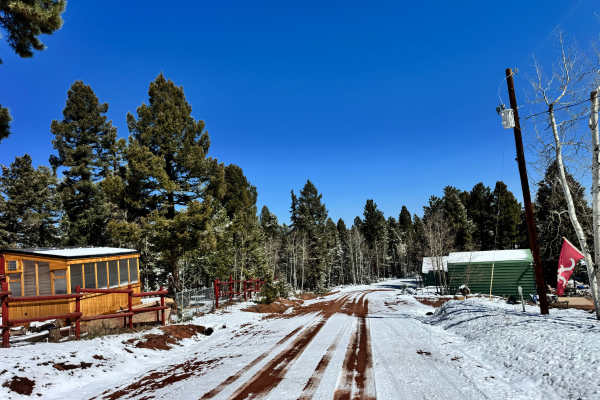
Yucca Road - FS 359
Yucca Road - FS 359 starts near a small cluster of houses before quickly transitioning into a quiet pine forest, following a well-defined dirt road that drops roughly 600 feet in elevation over gentle terrain. Once past the residential area, the trail opens into more natural ground with tall pines, ...
Learn more about Yucca Road - FS 359
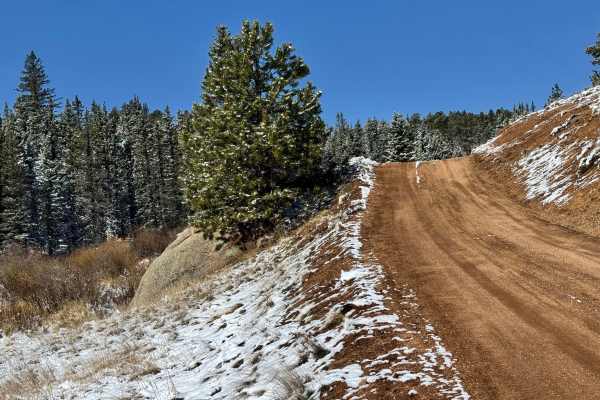
Cedar Cut 3 Road - FS 359
This route begins at a gated forest access point and quickly transitions from a wide, well-maintained dirt road into a narrower two-track that winds deeper into the pines. From the start, the trail gradually descends about 700 feet, moving through rolling terrain with a mix of open forest and tighte...
Learn more about Cedar Cut 3 Road - FS 359
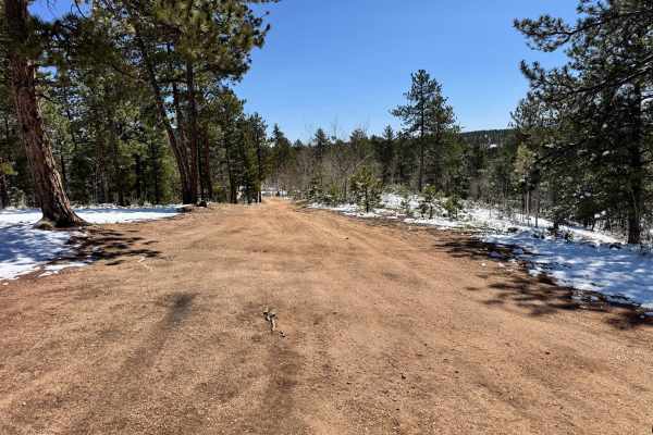
Cedar Cut 2 - FS 359
This trail winds through a mix of open meadow and dense pine forest, offering a good balance between easy cruising and light technical sections. It starts as a wide, well-defined dirt road with plenty of room to pass, then narrows in spots as it works its way through tighter tree cover. The scenery ...
Learn more about Cedar Cut 2 - FS 359
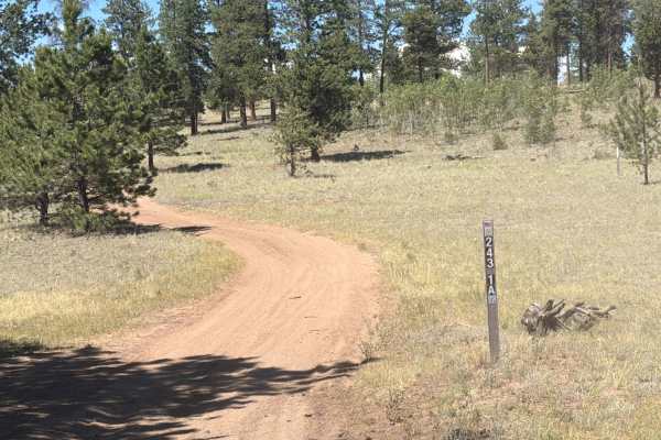
Goose Chase Loop Road - FS 243.1A
Goose Chase Loop Road (FS 243.1A) is a dirt and gravel road located within the Pike National Forest outside the town of Lake George, Colorado. The trail is a looped passage that is accessible via County Road 98, and then via Sledge Hammer Road (FS 243). The trail involves simple rocky sections, whoo...
Learn more about Goose Chase Loop Road - FS 243.1A
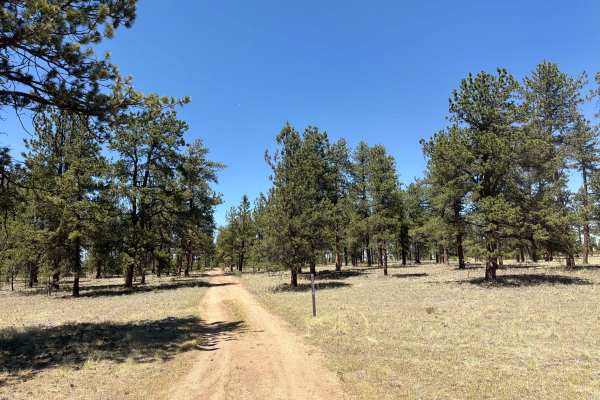
Jackpot Road - FSR 243 1C
Jackpot Road - Forest Service Road 243.1C, is an easy, dirt trail that is located within the Pike National Forest outside the town of Lake George, CO. The trail is accessible via County Road 98, and then via Sledge Hammer Road - FSR 243. The path holds rutted sections and rock obstacles. The road se...
Learn more about Jackpot Road - FSR 243 1C
ATV trails near Florissant, Colorado
Explore ATV-friendly trails near you. These trails are accessible for vehicles up to 50 inches wide, perfect for ATVs and smaller off-road machines.
Forest Glen Road - FS 878
Forest Glen Road (FS 878) is located within the Pike National Forest outside the town of Lake George, Colorado. The trail can be accessed by Forest Glen Trail off U.S. Highway 24, or via Fish Creek Road (FS 877) off County Road 61. The trail is an easy, compacted dirt and gravel road that offers acc...
Learn more about Forest Glen Road - FS 878
Borrow Pit Road - FS 876B
Borrow Pit Road (FS 876B) is located within the Pike National Forest outside the town of Lake George, Colorado. The easy, gravel and dirt trail can be accessed via County Road 61. The trail offers access to other forest roads and recreational activities, including dispersed camping opportunities.
Learn more about Borrow Pit Road - FS 876B
Buford's Mistake Road - FS 876A
Buford's Mistake Road (FS 876A) is located within the Pike National Forest outside the town of Lake George, Colorado. You must access the trail via County Road 61 to Boletes Road (FS 875), and then accessed via 3 Bears (FS 876). The trail is a loop off of 3 Bears (FS 876) that offers compacted grave...
Learn more about Buford's Mistake Road - FS 876A
Fish Creek Road - FS 877
Fish Creek Road (FS 877) is located within the Pike National Forest off County Road 61 outside the town of Lake George, Colorado. The trail is an easy, dirt and gravel road that offers access to other forest roads and recreational activities, including dispersed camping opportunities.
Learn more about Fish Creek Road - FS 877
UTV/side-by-side trails near Florissant, Colorado
Find UTV and side-by-side trails near you. These trails accommodate vehicles up to 60 inches wide, ideal for UTVs, side-by-sides, and wider off-road rigs.
Forest Glen Road - FS 878
Forest Glen Road (FS 878) is located within the Pike National Forest outside the town of Lake George, Colorado. The trail can be accessed by Forest Glen Trail off U.S. Highway 24, or via Fish Creek Road (FS 877) off County Road 61. The trail is an easy, compacted dirt and gravel road that offers acc...
Learn more about Forest Glen Road - FS 878
Borrow Pit Road - FS 876B
Borrow Pit Road (FS 876B) is located within the Pike National Forest outside the town of Lake George, Colorado. The easy, gravel and dirt trail can be accessed via County Road 61. The trail offers access to other forest roads and recreational activities, including dispersed camping opportunities.
Learn more about Borrow Pit Road - FS 876B
Buford's Mistake Road - FS 876A
Buford's Mistake Road (FS 876A) is located within the Pike National Forest outside the town of Lake George, Colorado. You must access the trail via County Road 61 to Boletes Road (FS 875), and then accessed via 3 Bears (FS 876). The trail is a loop off of 3 Bears (FS 876) that offers compacted grave...
Learn more about Buford's Mistake Road - FS 876A
Fish Creek Road - FS 877
Fish Creek Road (FS 877) is located within the Pike National Forest off County Road 61 outside the town of Lake George, Colorado. The trail is an easy, dirt and gravel road that offers access to other forest roads and recreational activities, including dispersed camping opportunities.
Learn more about Fish Creek Road - FS 877
The onX Offroad Difference
onX Offroad combines trail photos, descriptions, difficulty ratings, width restrictions, seasonality, and more in a user-friendly interface. Available on all devices, with offline access and full compatibility with CarPlay and Android Auto. Discover what you're missing today!
Open Trail Map