
Off-Road Trails
Near Guffey, Colorado
Off-Road Trails Near Guffey, Colorado
Discover the best offroad trails near you. Browse trail maps, check difficulty ratings, and find your next adventure — whether you're looking for a quick ride or an all-day expedition.
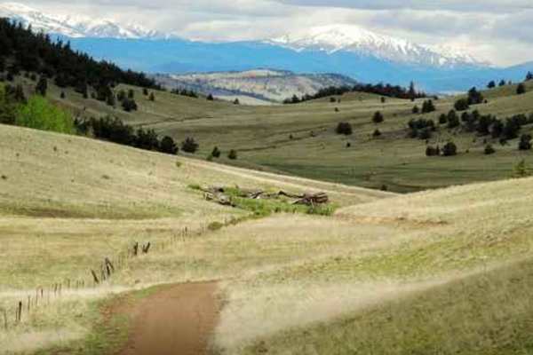
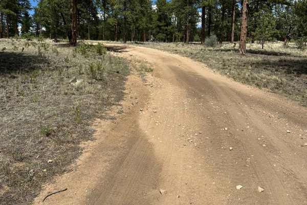
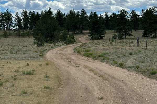
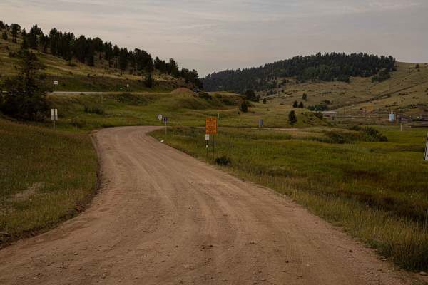
39 Mile Mountain Part 2
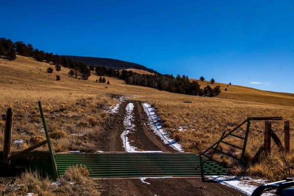
Segment 2 trail is pretty easy. It is rocky in places, with good scenery. I drove most of trail in 2 wheel drive, however high clearance was needed as well as 4 wheel drive a few places. The road changes names/numbers throughout the route. Follow the main trail which will take you to the main road a...
Learn more about 39 Mile Mountain Part 2

39 Mile Mountain Road
Trail pretty easy, rocky in places, good scenery. Drove most of the trail in 2 wheel drive, however high clearance was needed as well as 4 wheel drive in few places. The road changes names thru out the route, follow main road which will take you to the main road at the end.
Learn more about 39 Mile Mountain Road
Eleven Mile Canyon Cutoff
This trail is pretty easy. It is rocky in few places, a lot of wash out ruts and erosion control humps. The trail is suitable for SUV's. If it is wet and muddy this would change the difficulty. I recommend starting the route on FR 234 Rimrock Road, Turn on FR 393 Wagon Tongue Road. This route will t...
Learn more about Eleven Mile Canyon Cutoff
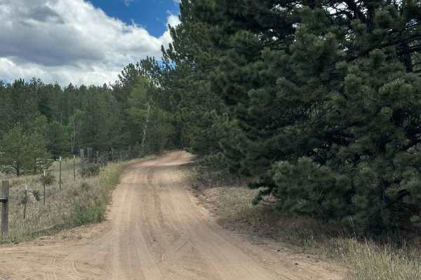
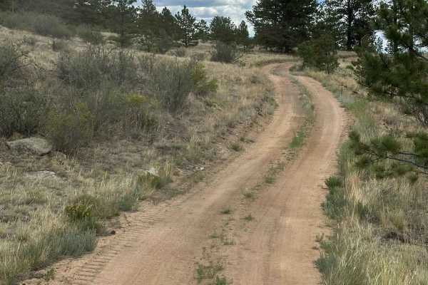
Threemile Road
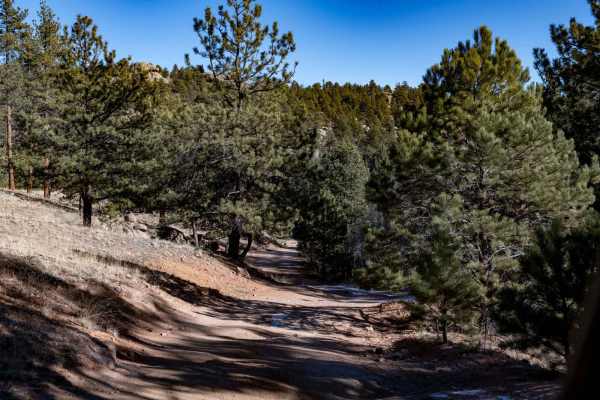
This is an easy, scenic connector trail that links up with Parker Road and 31 Mile Creek. You'll pass through three gates along the route -- be sure to open and close each one behind you. While mostly mellow, the trail has a few rocky sections that are easily navigable with a high-clearance vehicle....
Learn more about Threemile Road
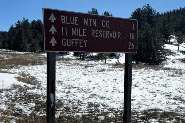
Elevenmile Canyon Road - FS 96
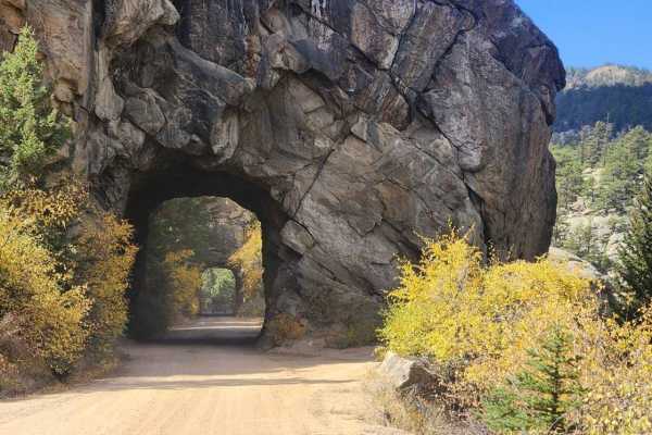
Elevenmile Canyon Scenic & Historic Auto Tour follows the former Colorado Midland Railroad route and South Platte River through a canyon. There are several FS campgrounds and picnic areas. This is a USFS fee area and $10 (as of 2024). This area is popular for trout fishing and rock climbing and can ...
Learn more about Elevenmile Canyon Road - FS 96
31 Mile Creek
An easy ride from Countryside Tour GP to Highway 9 in the lower country east of Buena Vista. The central part of the trail follows 31 Mile Creek through part of the Pike National Forest, hence the name. We did the run on June 11, 2015, and found numerous mud holes through the National Forest, one of...
Learn more about 31 Mile Creek
Spaghetti Lightning - FS 243.2A
Spaghetti Lightning (FS 243.2A) is an easy, out-and-back dirt trail located within the Pike National Forest, outside the town of Lake George, CO. It is accessed via County Road 98, then via Sledge Hammer Road (FS 243). The path provides rutted sections and minor rock obstacles. The area has other fo...
Learn more about Spaghetti Lightning - FS 243.2A

County Road F6
This trail travels through open meadows and rolling hills. This trail will connect to other trails in the area around and up to the top of Black Mountain. The trail is fairly easy but can be muddy in places when wet conditions are present. In wintertime the trail can be drifted in places and some o...
Learn more about County Road F6
Messenger Road
Messenger Road consists of hard-packed dirt with ruts, small rock obstacles, and occasional washouts. A high-clearance 4WD vehicle is recommended. The first mile features numerous dispersed campsites, including several large enough to accommodate RVs. Beyond the one-mile mark, the road narrows into ...
Learn more about Messenger Road
Adamans Creek Road - FS 850
Adamans Circle Road is a well-maintained, hard-packed dirt road that winds through a scenic valley before entering a beautiful aspen forest. The route is free of significant obstacles, deep ruts, or technical challenges, making it suitable for all high-clearance vehicles and most passenger vehicles ...
Learn more about Adamans Creek Road - FS 850
Hathaway Road
Hathaway Road is primarily an easy dirt road, but the final half mile becomes more challenging, with several tight sections and small rock obstacles. A high-clearance 4WD vehicle is recommended for this last stretch. Dispersed camping is permitted along the route, although there are very few establi...
Learn more about Hathaway Road
Original Road
Original Road is a well-maintained dirt road that provides access to Pike National Forest. After passing the ranch, roughly halfway along the route, you may encounter a few shallow ruts and muddy sections following recent precipitation. Under normal conditions, most vehicles should have no trouble t...
Learn more about Original Road
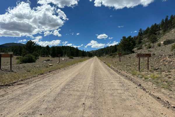
Lake George to 11 Mile
This is a decently well-maintained dirt road from Lake George to the backside of 11 Mile Reservoir. The road can have bad washboards or be muddy in places depending on the season. It's generally fine to drive in a stock SUV. There are several National Forest Campgrounds on several side roads if you ...
Learn more about Lake George to 11 Mile
County Road 90
County Road 90 is a well-maintained dirt road that provides access to numerous off-road trails and camping opportunities. The surface is primarily hard-packed dirt with frequent washboard sections, but it is generally suitable for most vehicles in dry conditions. Camping is not permitted along Count...
Learn more about County Road 90
Zig Zag Loop
Zig Zag Loop is a hard-packed dirt road with several small washouts and one more difficult obstacle with a bypass. Some sections may turn to mud pits after heavy precipitation. The area has a few large and well-spread-out campsites, good for groups. This route is in a forested area, and there are ve...
Learn more about Zig Zag Loop
Egore Iv Road
Egore Iv Road is a hard-packed dirt road with a beautiful view on the east end. The east entrance from County Road 90 is quite rutted and will require high clearance, but the rest of the road is easy. Camping is not allowed along this route and cell service is spotty.
Learn more about Egore Iv Road
Saplings Road
Saplings Road is a hard-packed dirt road with views of Round Mountain and beautiful valleys along the way. The route is easy but less traveled, so there is a potential for fallen trees or washouts after storms. Camping is not allowed on this route, and cell service will be spotty.
Learn more about Saplings Road
Maverick
Maverick Trail is 1.6 miles long, for vehicles 50" or less. The north end starts at a wooden pinch point and enters the pinyon pine trees. You have to duck under several branches when making many sharp turns and twisty curves through the trees. There are loose small pieces of rock in the trail, but ...
Learn more about Maverick
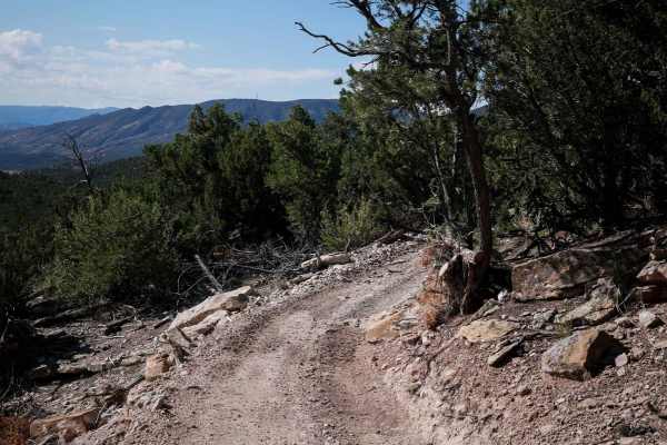
Shelf Road
Shelf Road is a heavily traveled network of trails beginning just south of Cripple Creek, offering a mix of steep, rugged terrain and historic scenery. The trail features old mines, ghost towns, and multiple 4x4 spur roads branching off near Sand Gulch and The Banks Campground, one of Colorado’s mos...
Learn more about Shelf Road
Gunbarrel Road
While most of Gunbarrel Road is easy and hard-packed dirt, there is one section with deep ruts on the west end that may require high clearance. The northeast end of this trail is well maintained. Gunbarrel Road provides access to areas with ample camping, though camping isn't allowed along this rout...
Learn more about Gunbarrel Road
ATV trails near Guffey, Colorado
Explore ATV-friendly trails near you. These trails are accessible for vehicles up to 50 inches wide, perfect for ATVs and smaller off-road machines.
39 Mile Mountain Part 2
Segment 2 trail is pretty easy. It is rocky in places, with good scenery. I drove most of trail in 2 wheel drive, however high clearance was needed as well as 4 wheel drive a few places. The road changes names/numbers throughout the route. Follow the main trail which will take you to the main road a...
Learn more about 39 Mile Mountain Part 2
39 Mile Mountain Road
Trail pretty easy, rocky in places, good scenery. Drove most of the trail in 2 wheel drive, however high clearance was needed as well as 4 wheel drive in few places. The road changes names thru out the route, follow main road which will take you to the main road at the end.
Learn more about 39 Mile Mountain Road
Eleven Mile Canyon Cutoff
This trail is pretty easy. It is rocky in few places, a lot of wash out ruts and erosion control humps. The trail is suitable for SUV's. If it is wet and muddy this would change the difficulty. I recommend starting the route on FR 234 Rimrock Road, Turn on FR 393 Wagon Tongue Road. This route will t...
Learn more about Eleven Mile Canyon Cutoff
Threemile Road
This is an easy, scenic connector trail that links up with Parker Road and 31 Mile Creek. You'll pass through three gates along the route -- be sure to open and close each one behind you. While mostly mellow, the trail has a few rocky sections that are easily navigable with a high-clearance vehicle....
Learn more about Threemile Road
UTV/side-by-side trails near Guffey, Colorado
Find UTV and side-by-side trails near you. These trails accommodate vehicles up to 60 inches wide, ideal for UTVs, side-by-sides, and wider off-road rigs.
39 Mile Mountain Part 2
Segment 2 trail is pretty easy. It is rocky in places, with good scenery. I drove most of trail in 2 wheel drive, however high clearance was needed as well as 4 wheel drive a few places. The road changes names/numbers throughout the route. Follow the main trail which will take you to the main road a...
Learn more about 39 Mile Mountain Part 2
39 Mile Mountain Road
Trail pretty easy, rocky in places, good scenery. Drove most of the trail in 2 wheel drive, however high clearance was needed as well as 4 wheel drive in few places. The road changes names thru out the route, follow main road which will take you to the main road at the end.
Learn more about 39 Mile Mountain Road
Eleven Mile Canyon Cutoff
This trail is pretty easy. It is rocky in few places, a lot of wash out ruts and erosion control humps. The trail is suitable for SUV's. If it is wet and muddy this would change the difficulty. I recommend starting the route on FR 234 Rimrock Road, Turn on FR 393 Wagon Tongue Road. This route will t...
Learn more about Eleven Mile Canyon Cutoff
Threemile Road
This is an easy, scenic connector trail that links up with Parker Road and 31 Mile Creek. You'll pass through three gates along the route -- be sure to open and close each one behind you. While mostly mellow, the trail has a few rocky sections that are easily navigable with a high-clearance vehicle....
Learn more about Threemile Road
The onX Offroad Difference
onX Offroad combines trail photos, descriptions, difficulty ratings, width restrictions, seasonality, and more in a user-friendly interface. Available on all devices, with offline access and full compatibility with CarPlay and Android Auto. Discover what you're missing today!
Open Trail Map