Trail Overview
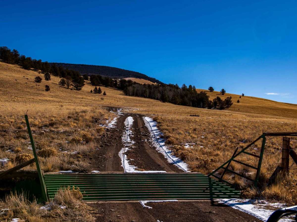
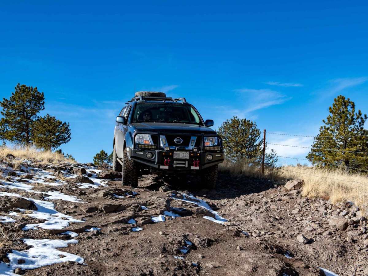
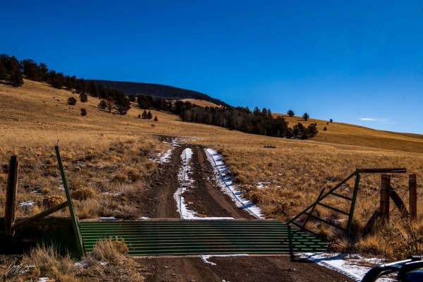
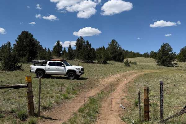
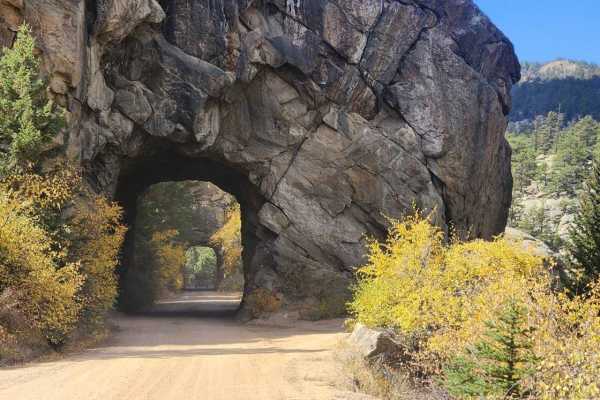
39 Mile Mountain Road is an approachable yet scenic route perfect for stock four-wheel-drive vehicles, high-clearance rigs, and SxSs looking to explore Colorado's beautiful high-country terrain. Spanning approximately 5.4 miles, this point-to-point trail winds through a mix of open meadows and dense timber, climbing from a starting elevation of around 9,452 feet to a high point of 10,043 feet with a cumulative elevation gain of 938 feet. While much of the trail is relatively easy and can be navigated in two-wheel drive during dry conditions, high-clearance is necessary to clear occasional rocky sections and uneven dirt surfaces. The trail’s route can be somewhat confusing as it changes road designations along the way, so staying on the most established, main path is essential to successfully reach the end.
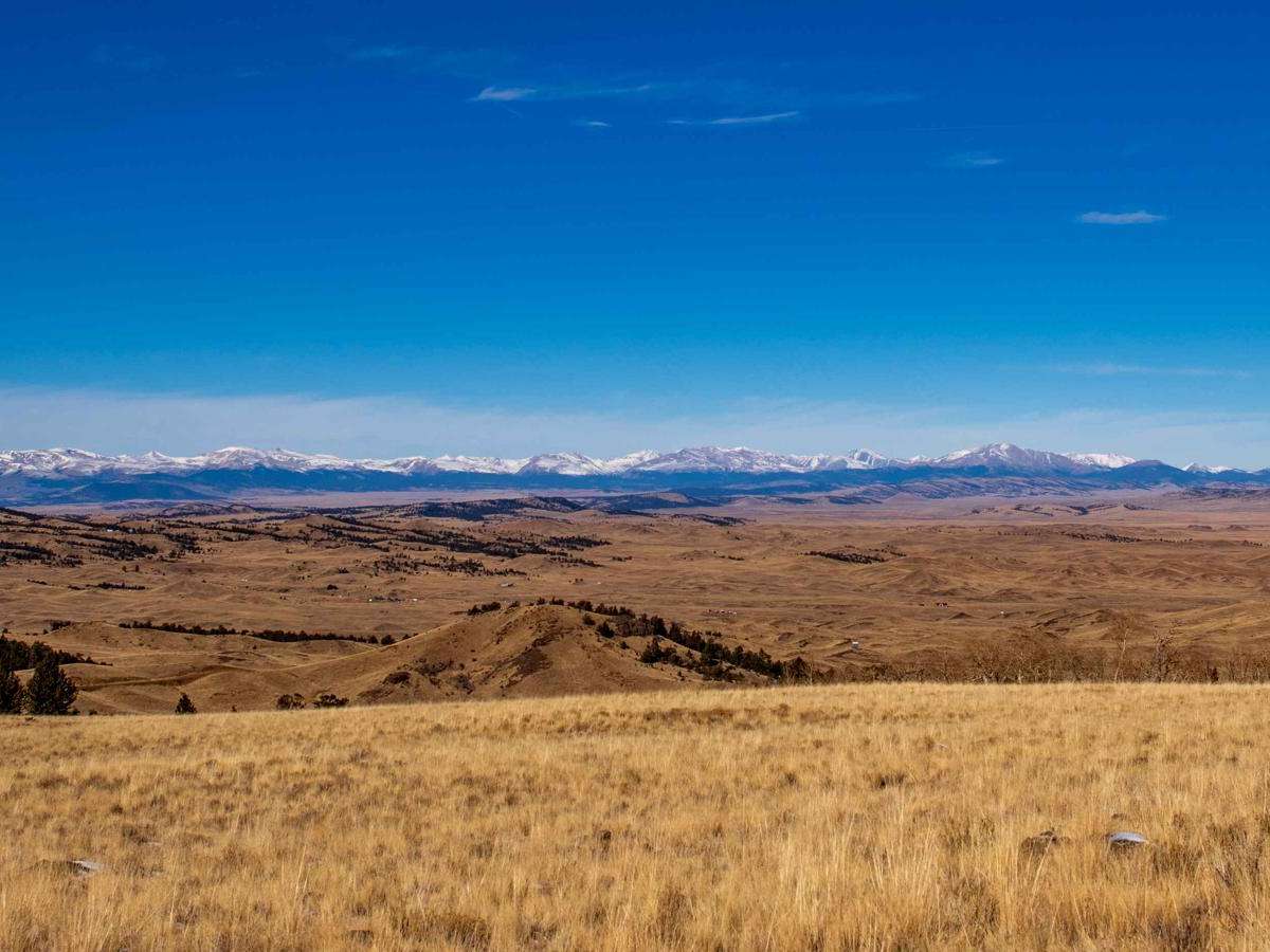
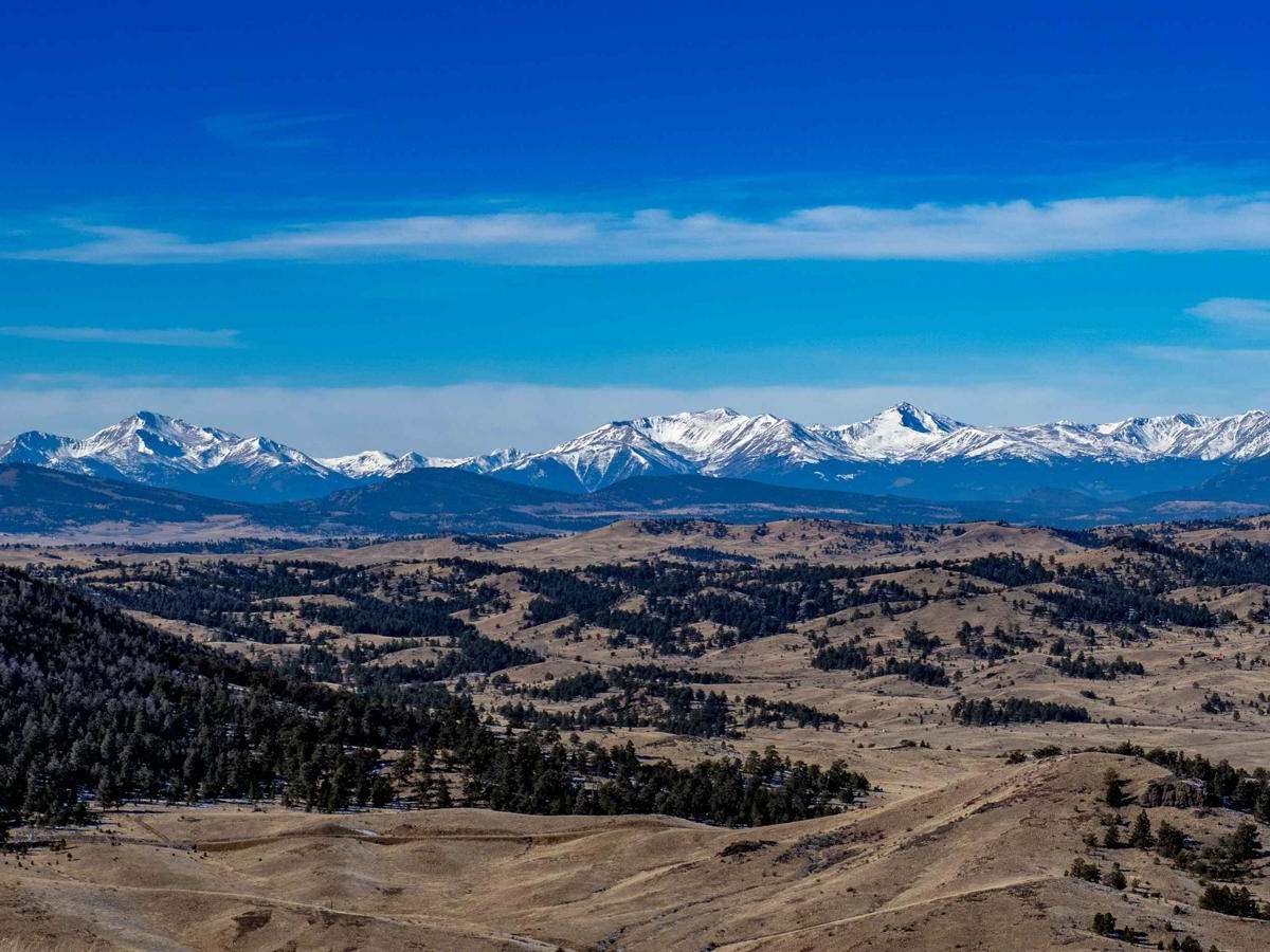
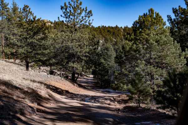
The trail offers scenic vistas, passing landmarks such as Threemile Mountain to the west and crossing seasonal drainages like Cross Creek. Drivers should exercise caution when navigating the wooded portions of the route, where the corridor narrows significantly, offering limited opportunities to pass oncoming traffic. Paying close attention to available pullouts beforehand is highly recommended to manage encounters safely. With a technical rating of 3, the route is highly accessible but should be approached with standard trail awareness, especially when encountering off-camber sections or muddy spots after recent rain.