Crash & Burn Road - FS 243.2B

Total Miles0.8
Technical Rating
3Easy
Best TimeSpring, Summer, Fall
Trail TypeFull-Width Road
Accessible By
Open Trail Map

Trail Overview

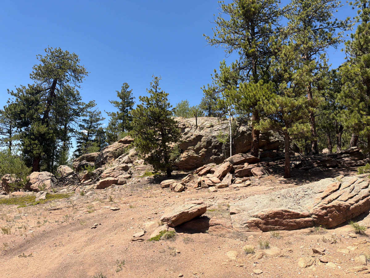
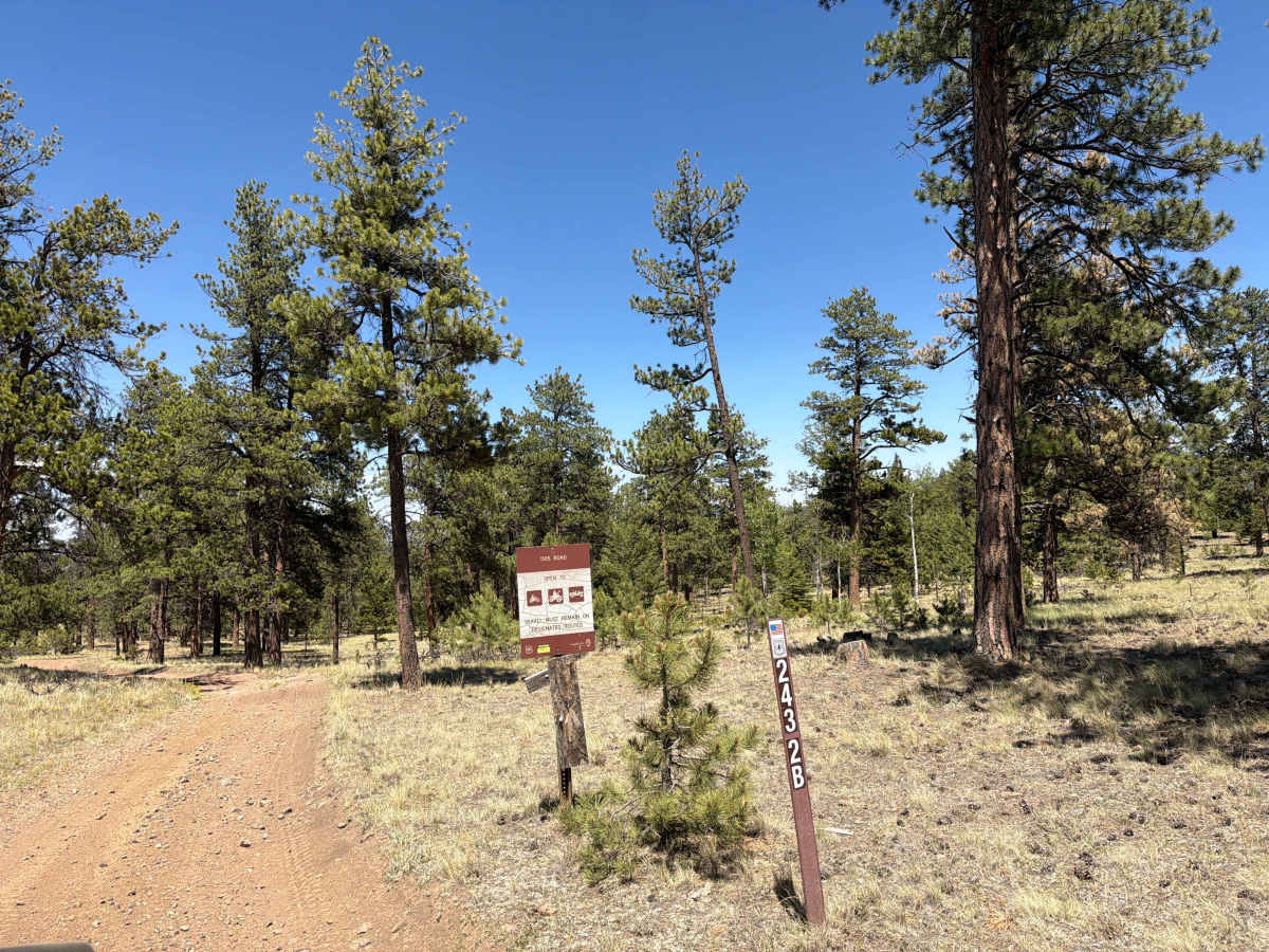
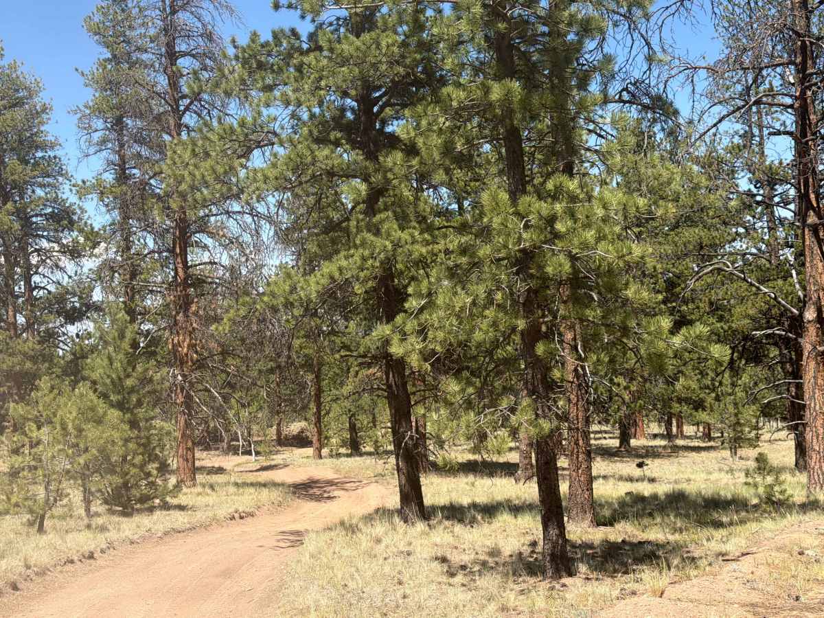
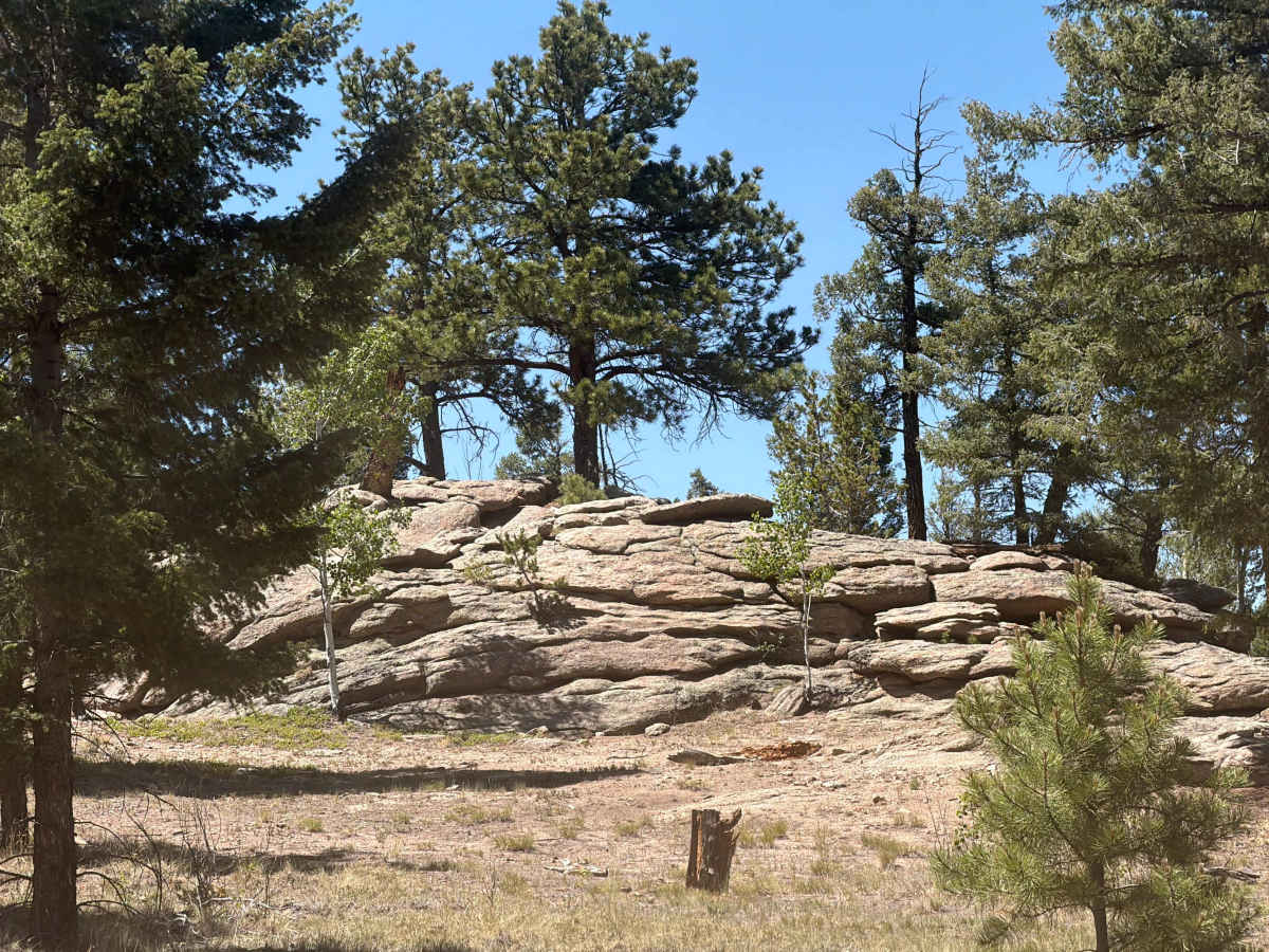
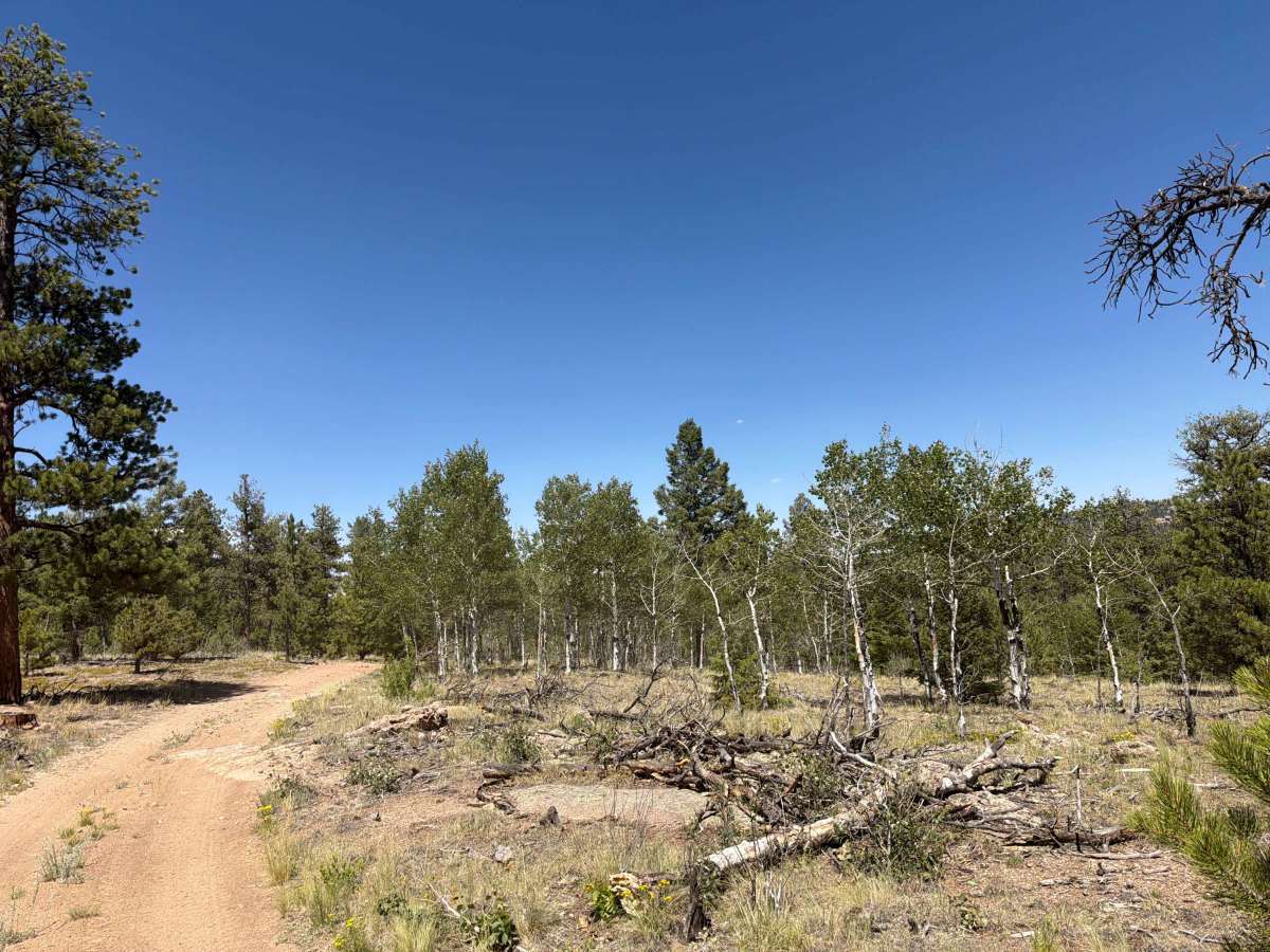
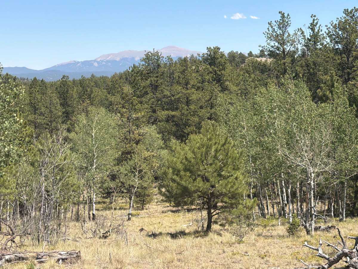
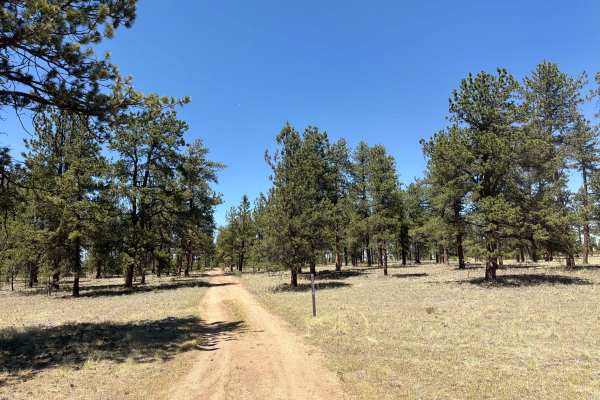
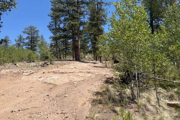
Crash & Burn Road (FS 243.2B) is easy to moderate, out-and-back, dirt trail located within the Pike National Forest outside the town of Lake George, Colorado. The trail is accessed via County Road 98, then via Sledge Hammer Road (FS 243), then via Spaghetti Lightning (FS 243.2A). The trail offers rock obstacles, steep inclines, tight trees, and rutted areas. Areas of the trail can be challenging without 4WD, and there are no alternate routes.

Photos of Crash & Burn Road - FS 243.2B

Difficulty

Easy to moderate dirt and gravel trail that has steep inclines, tight trees, rock obstacles, and rutted sections.

Technical Rating

3

Crash & Burn Road - FS 243.2B Trail can be accessed by the following ride types:

  • Single Track
  • 50 Inch
  • 60 Inch
  • High Clearance
  • Full Width

Crash & Burn Road - FS 243.2B Map

The onX Offroad Difference

onX Offroad combines trail photos, descriptions, difficulty ratings, width restrictions, seasonality, and more in a user-friendly interface. Available on all devices, with offline access and full compatibility with CarPlay and Android Auto. Discover what you're missing today!

Open Trail Map