North Fork Clear Creek
Total Miles
2.1
Technical Rating
Best Time
Spring, Summer, Fall
Trail Type
Full-Width Road
Accessible By
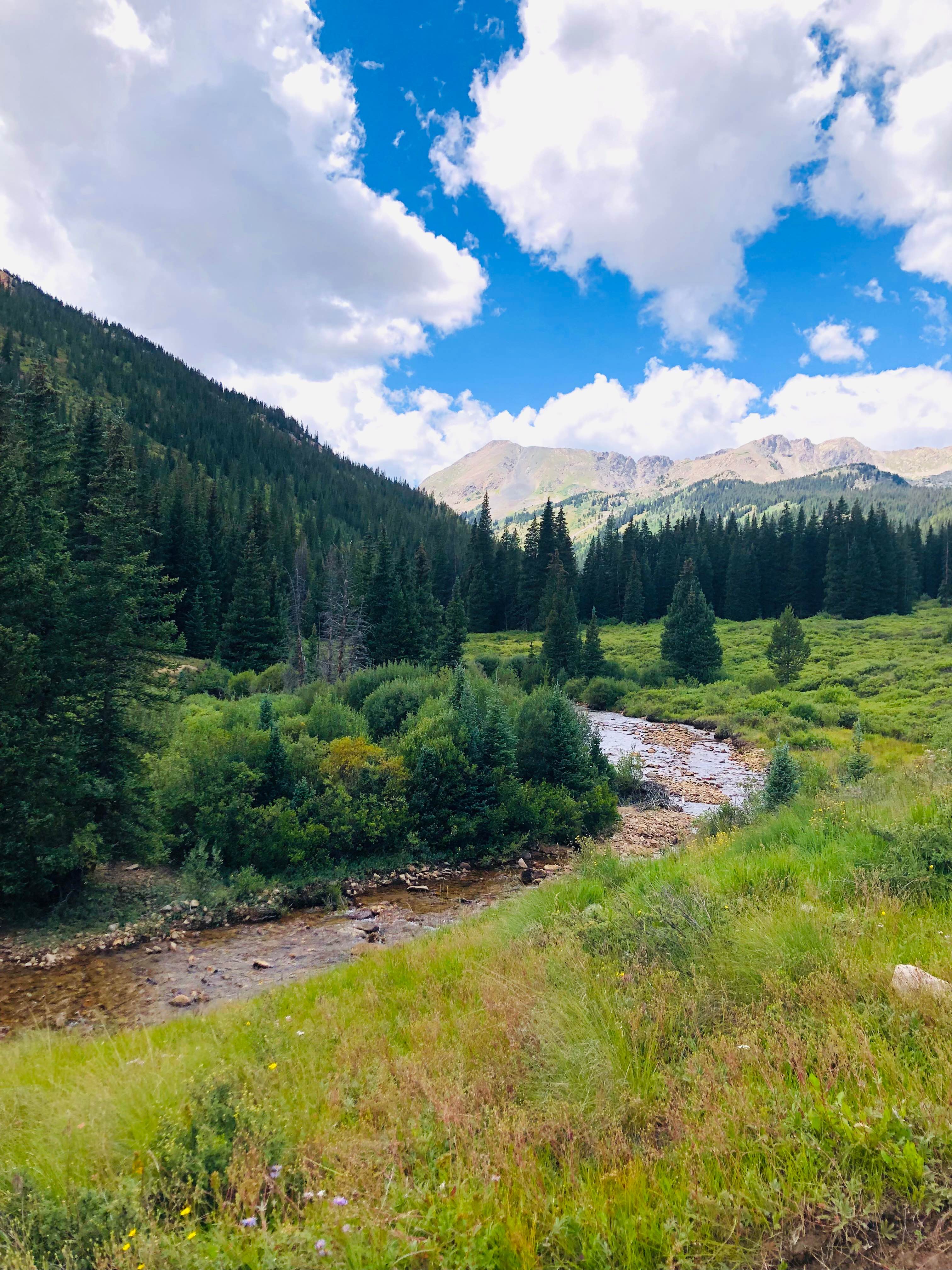
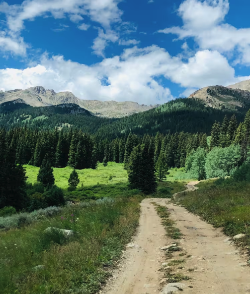
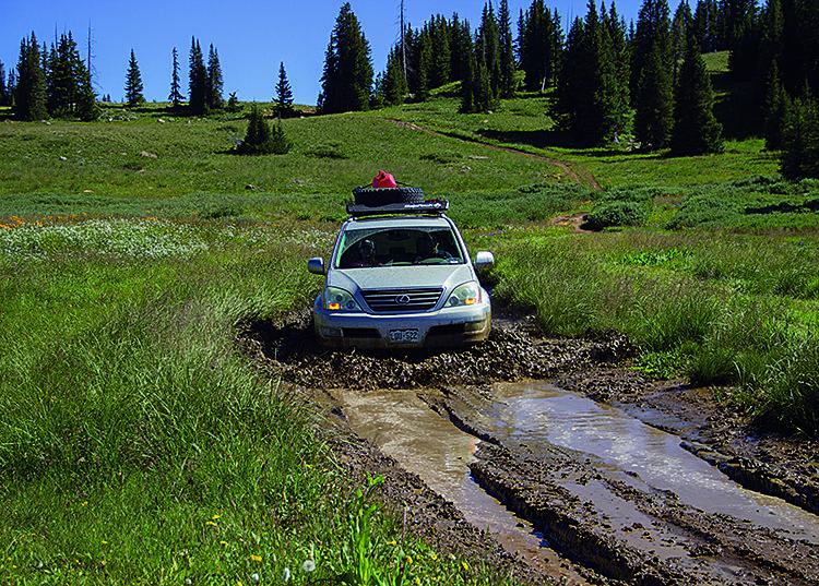
Trail Overview
Starting in the historic mining ghost town of Winfield, take Forest Service Road 390.A to the right. This is an easy, beautiful ride that winds through the forest, along the north fork of Clear Creek. Near the beginning of the trail, there is an old cemetery for the residents of Winfield, dating back to the late 1800s. There are bountiful dispersed camping sites, on and off the creek. Beautiful mountain views greet you as you come to the North Fork hiking trailhead, where it begins in the Collegiate Peaks Wilderness.
Photos of North Fork Clear Creek
Difficulty
This is an easy but beautiful trail through the forest.
Status Reports
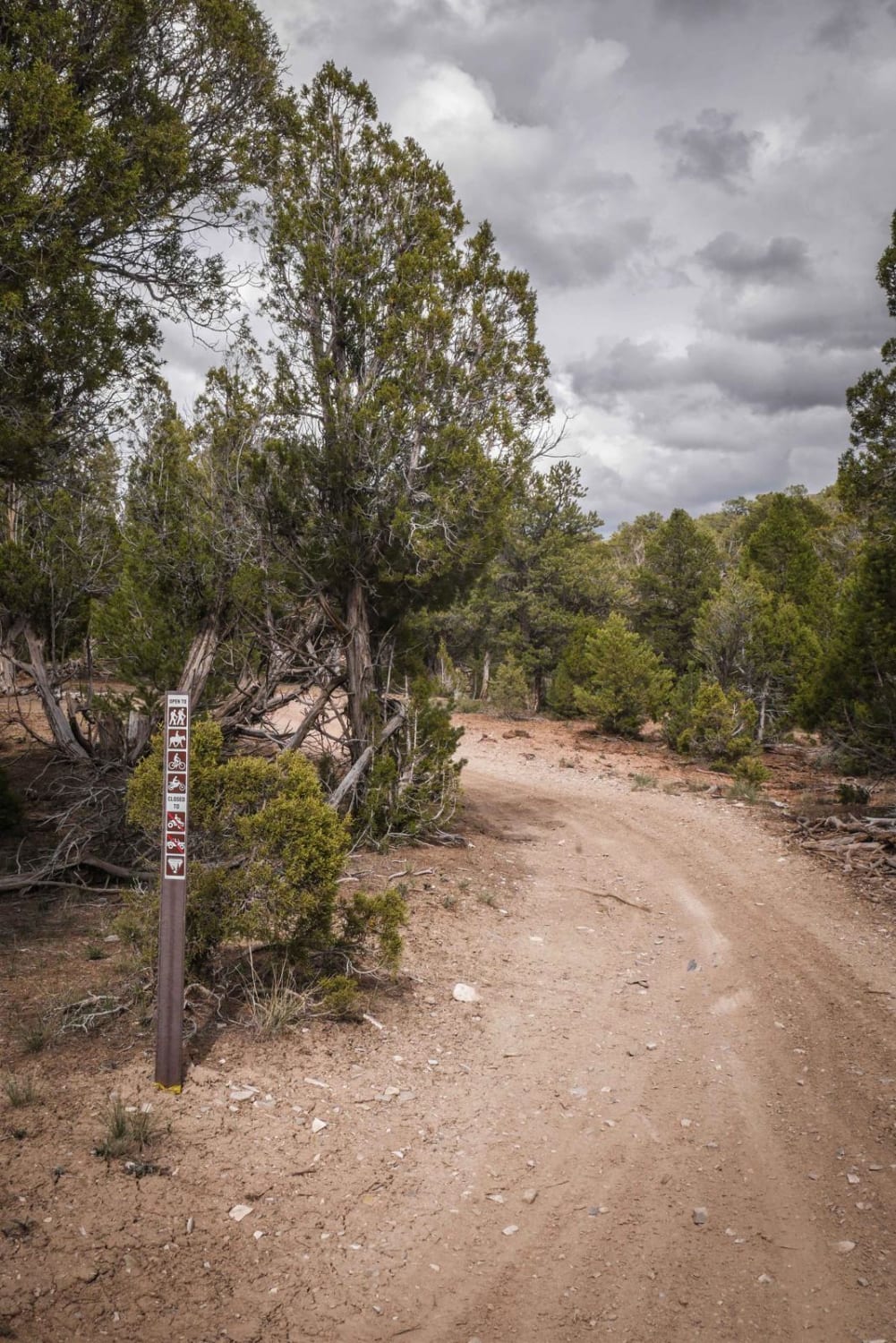
North Fork Clear Creek can be accessed by the following ride types:
- High-Clearance 4x4
- SUV
- SxS (60")
- ATV (50")
- Dirt Bike
North Fork Clear Creek Map
Popular Trails

Burns Park Road
Grizzly Jeep Trail
North Fork Clear Creek
The onX Offroad Difference
onX Offroad combines trail photos, descriptions, difficulty ratings, width restrictions, seasonality, and more in a user-friendly interface. Available on all devices, with offline access and full compatibility with CarPlay and Android Auto. Discover what you’re missing today!