North & Middle Fork of the Swan River
Total Miles
13.6
Technical Rating
Best Time
Summer, Fall
Trail Type
Full-Width Road
Accessible By
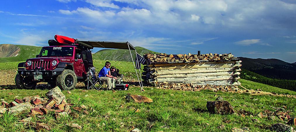
Trail Overview
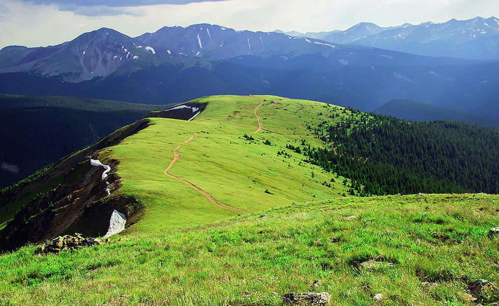
Along this trail, which ends at the top of Wise Mountain, you can see some cool ghost town ruins. Once you clear the timberline, you'll be treated to some simply amazing views. The trail is open from May 21 to November 22, and unlicensed vehicles are permitted.
Photos of North & Middle Fork of the Swan River
Difficulty
Difficult. Steep, loose and rocky climbs on North Fork. The upper section of the Middle Fork is very narrow, rocky and steep in places. Early season conditions, when snow lingers on the trail, can create difficult and potentially dangerous situations. When dry, trail is usually suitable for aggressive stock SUVs with high ground clearance and low-range gearing, but use careful judgment if conditions deteriorate.
History
The piles of rock seen along Tiger Road are from dredge mining that took place between 1898 and 1942. Large barges created their own deep ponds as they sucked silt and rock from the bottom of the Swan and Blue Rivers. Parts of an old dredge barge can be seen in a pond along Tiger Road 2.5 miles east of Highway 9. Swandyke was an active mining town between 1898 and 1910 with a population near 500. The town was a stage stop for passengers coming over Georgia Pass. Businesses included a saloon, barber shop, butcher shop and blacksmith shop.
Status Reports
North & Middle Fork of the Swan River can be accessed by the following ride types:
- High-Clearance 4x4
- SUV
- SxS (60")
- ATV (50")
- Dirt Bike
North & Middle Fork of the Swan River Map
Popular Trails
Culver Creek - Cty Rd 14A


686 Garber ATV Trail
The onX Offroad Difference
onX Offroad combines trail photos, descriptions, difficulty ratings, width restrictions, seasonality, and more in a user-friendly interface. Available on all devices, with offline access and full compatibility with CarPlay and Android Auto. Discover what you’re missing today!