Off-Road Trails in Colorado
Discover off-road trails in Colorado
Learn more about Pinkerton--Flagstaff 
Pinkerton--Flagstaff
Total Miles
8.2
Tech Rating
Difficult
Best Time
Summer, Fall
Learn more about Pinon Cut Off
Pinon Cut Off
Total Miles
2.4
Tech Rating
Easy
Best Time
Spring, Summer, Fall
Learn more about Pinos Creek and Summitville Roads
Pinos Creek and Summitville Roads
Total Miles
18.3
Tech Rating
Easy
Best Time
Spring, Summer, Fall
Learn more about Placer and Picayne Gulch
Placer and Picayne Gulch
Total Miles
6.4
Tech Rating
Easy
Best Time
Spring, Summer, Fall
Learn more about Plum Creek Road 
Plum Creek Road
Total Miles
3.7
Tech Rating
Easy
Best Time
Spring, Summer, Fall
Learn more about Plumtaw road
Plumtaw road
Total Miles
15.2
Tech Rating
Easy
Best Time
Spring, Summer, Fall
Learn more about Point Camp Trail
Point Camp Trail
Total Miles
3.8
Tech Rating
Moderate
Best Time
Summer, Fall
Learn more about Poison Park Rd #644
Poison Park Rd #644
Total Miles
3.0
Tech Rating
Easy
Best Time
Spring, Summer, Fall, Winter
Learn more about Pomeroy Lake - FS 297
Pomeroy Lake - FS 297
Total Miles
2.7
Tech Rating
Moderate
Best Time
Summer
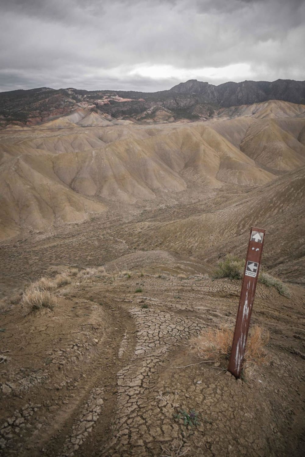
Learn more about Ponds Express ATV Trail
Ponds Express ATV Trail
Total Miles
1.7
Tech Rating
Easy
Best Time
Fall, Spring
Learn more about Pony Park Road - 433
Pony Park Road - 433
Total Miles
7.5
Tech Rating
Easy
Best Time
Spring, Summer, Fall, Winter
Learn more about Pony Tail
Pony Tail
Total Miles
1.4
Tech Rating
Difficult
Best Time
Spring, Summer, Fall, Winter
ATV trails in Colorado

Learn more about 16 Road, Coal Gulch
16 Road, Coal Gulch
Total Miles
14.1
Tech Rating
Easy
Best Time
Spring, Fall


UTV/side-by-side trails in Colorado
Learn more about 16 Road, Coal Gulch
16 Road, Coal Gulch
Total Miles
14.1
Tech Rating
Easy
Best Time
Spring, Fall

The onX Offroad Difference
onX Offroad combines trail photos, descriptions, difficulty ratings, width restrictions, seasonality, and more in a user-friendly interface. Available on all devices, with offline access and full compatibility with CarPlay and Android Auto. Discover what you’re missing today!