Pinos Creek and Summitville Roads
Total Miles
18.3
Technical Rating
Best Time
Spring, Summer, Fall
Trail Type
Full-Width Road
Accessible By
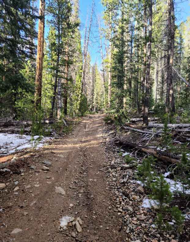
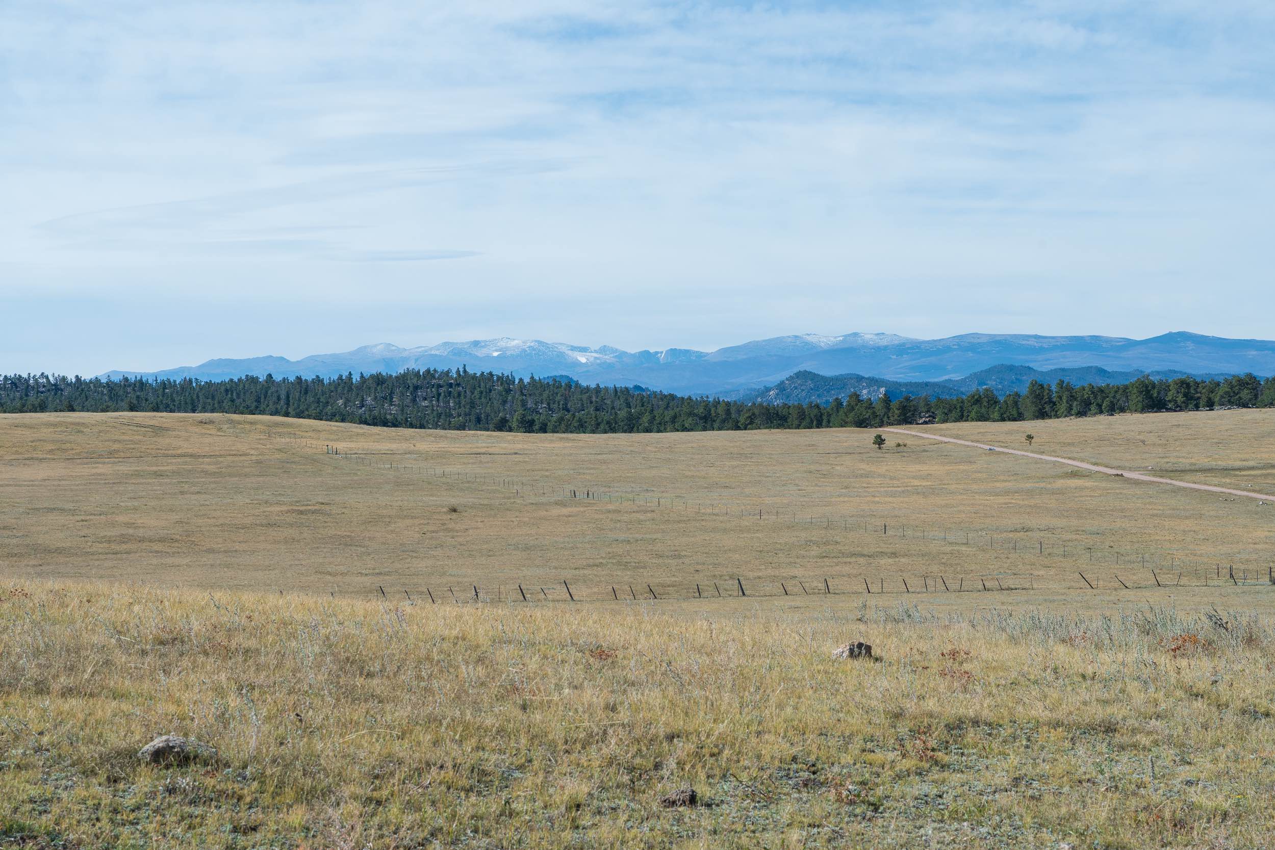
Trail Overview
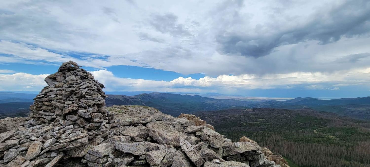
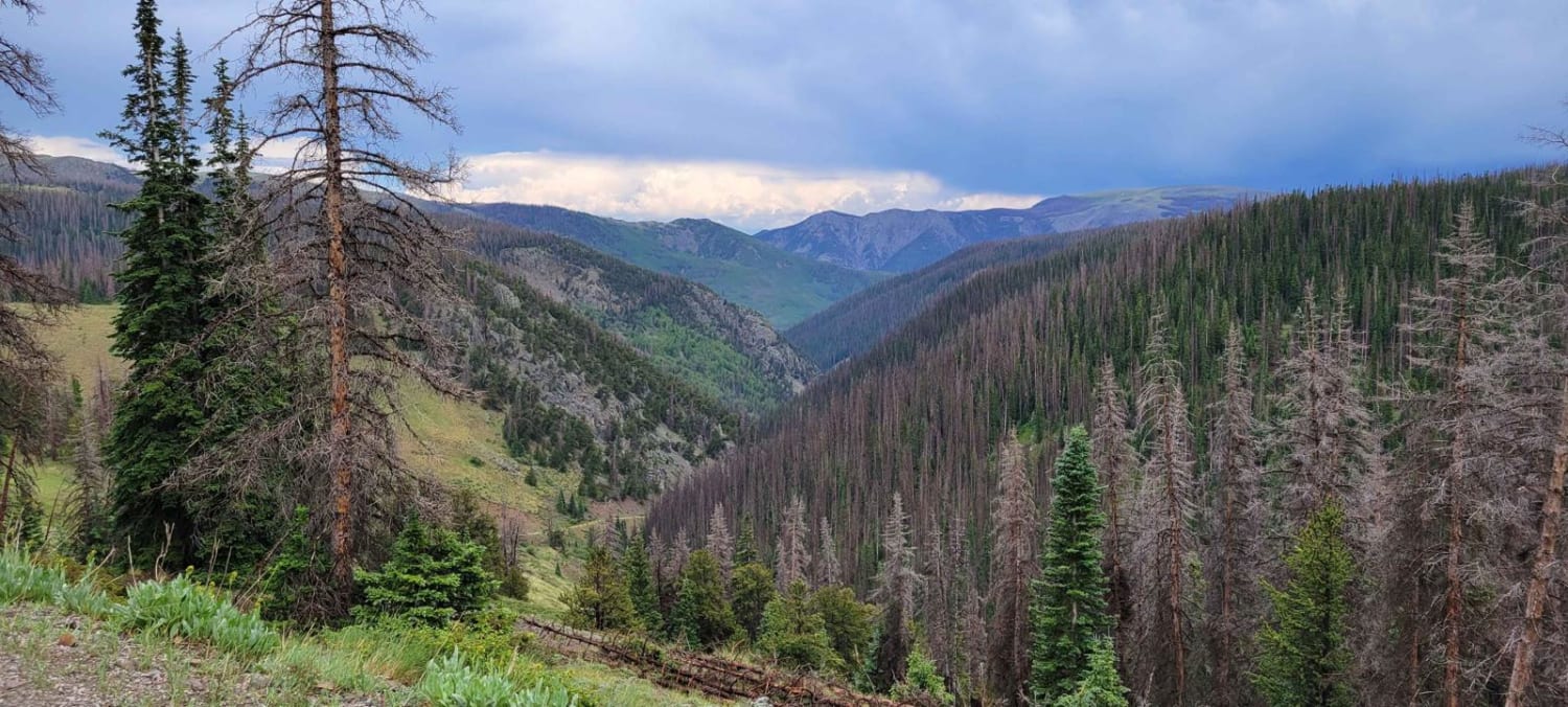
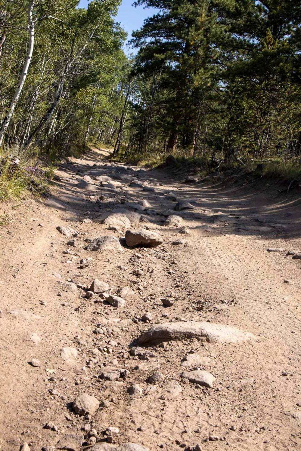
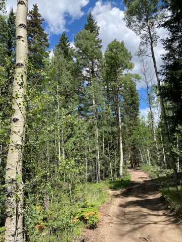
Most of this trail (92%) is graded, maintained dirt road traversable in any 2WD car, SUV, or truck in dry conditions. This is the most direct and shortest route from pavement (Del Norte) to the historic Summitville ghost town and mine, but it also has the option to take a spur trail (only 1.7 miles one way) to the summit of 12,600-foot Grayback Mountain for a great lunch spot with terrific views. The spur trail to the summit of Grayback is traversable in any 4x4 or AWD with moderate clearance. There are dozens of dispersed campsites along the parts of the trail that run through the National Forest (most of the trail). This is also a main thoroughfare through a popular area accessing hundreds of miles of National Forest roads and trails. Cell service is spotty along the route, but excellent at the higher elevations. This trail can be run in conjunction with several other connected trails for an extended wilderness overlanding experience.
Photos of Pinos Creek and Summitville Roads
Difficulty
The main route (92%) of this trail is a 1. The spur trail to the summit of Grayback Mountain is a 3 and is completely optional.
History
This is the easterly half of the route of old Elwood Pass. Elwood Pass was the sole direct connection between Del Norte and Pagosa Springs before Wolf Creek Pass was built. In the 1800s, the route took nearly a month to traverse. There are multiple historic mining cabins along the route.
Pinos Creek and Summitville Roads can be accessed by the following ride types:
- High-Clearance 4x4
- SUV
- SxS (60")
- ATV (50")
- Dirt Bike
Pinos Creek and Summitville Roads Map
Popular Trails
Bald Mountain Gulch 3
Straight Creek
Chicken Park Traverse
The onX Offroad Difference
onX Offroad combines trail photos, descriptions, difficulty ratings, width restrictions, seasonality, and more in a user-friendly interface. Available on all devices, with offline access and full compatibility with CarPlay and Android Auto. Discover what you’re missing today!