Chicken Park Traverse
Total Miles
21.9
Technical Rating
Best Time
Fall, Summer
Trail Type
Full-Width Road
Accessible By
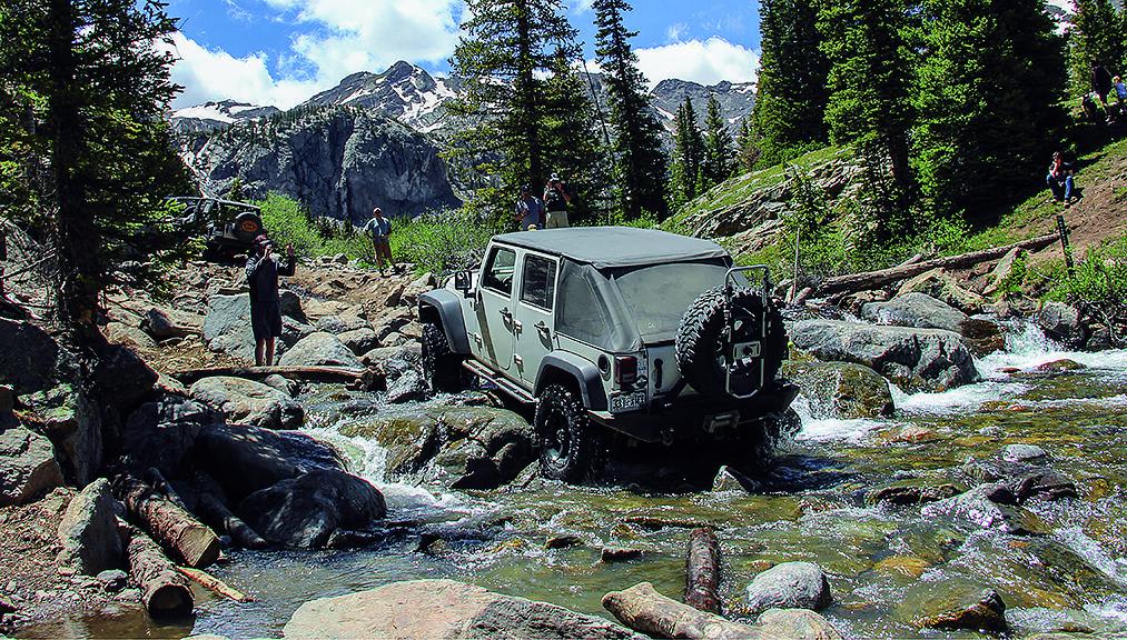
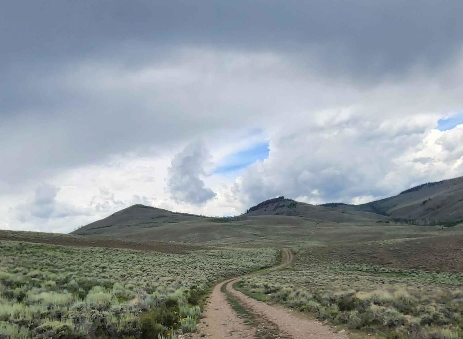
Trail Overview
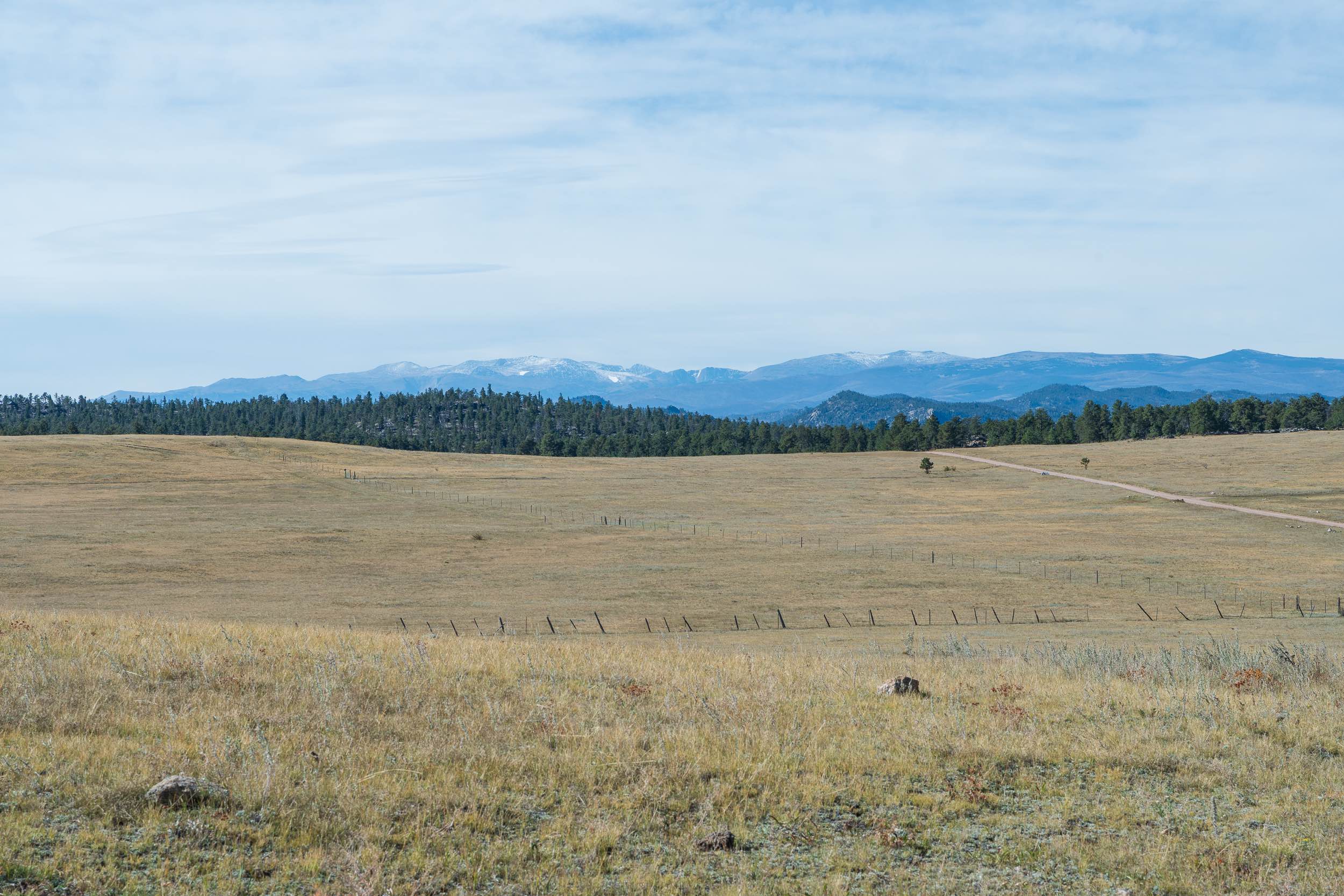
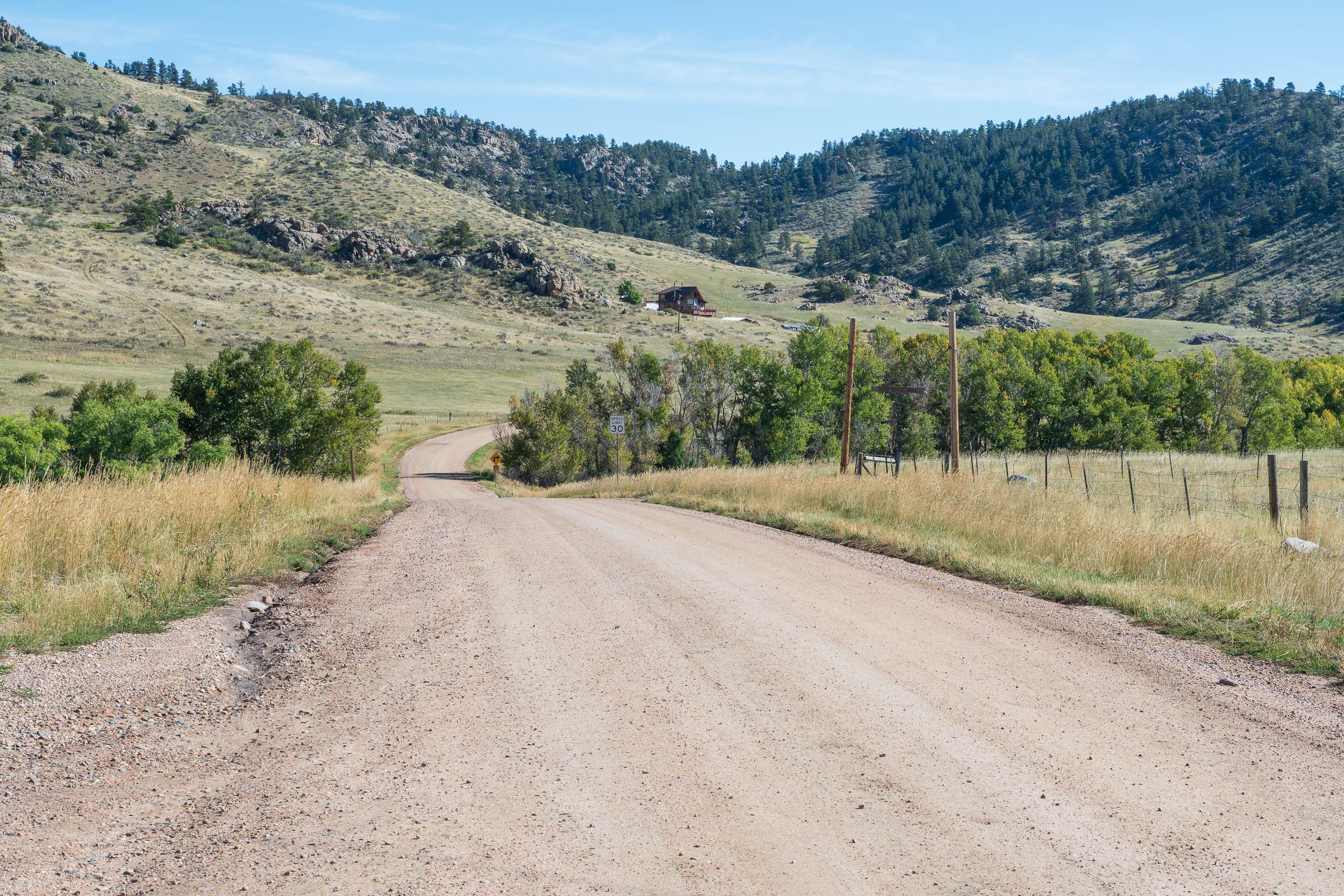
This scenic county trail route follows Larimer County Roads 82E, 67J, and 73C, providing access to the Chicken Park trail system and a few additional spur trails. The eastern side of the trail primarily passes through open private grasslands on its eastern end, used for ranches and cattle grazing, giving travelers wide views of the rolling foothills with more dramatic pine and aspen-covered mountains in the distance. The central and western portion of the trail passes through a mix of ranches, forest, and spread-out houses. The trail is typically two vehicles wide, with grassy shoulders that allow for passing in narrower sections. OHVs are not permitted on this route. The route receives winter maintenance on either end, but is closed. The portion in the forest is closed from Tami Road to CR 67J from December to April.
Photos of Chicken Park Traverse
Difficulty
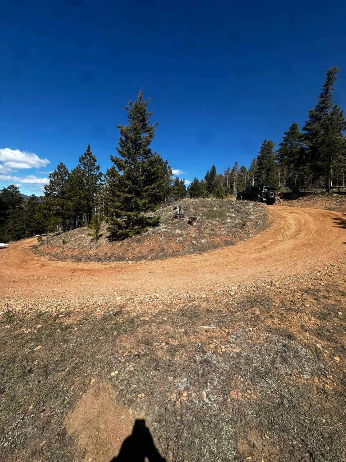
Drivers can expect occasional embedded rocks in the 2-6 inch range, moderate grades, and standing water up to 12 inches deep in wetter seasons. When muddy, the trail surface becomes rutted in areas.
Status Reports
Chicken Park Traverse can be accessed by the following ride types:
- High-Clearance 4x4
- SUV
Chicken Park Traverse Map
Popular Trails
Roundtop Mountain Road - 321
Sheephorn Mountain
Steers Gulch Road
The onX Offroad Difference
onX Offroad combines trail photos, descriptions, difficulty ratings, width restrictions, seasonality, and more in a user-friendly interface. Available on all devices, with offline access and full compatibility with CarPlay and Android Auto. Discover what you’re missing today!