Sheephorn Mountain
Total Miles
15.3
Technical Rating
Best Time
Summer, Fall
Trail Type
Full-Width Road
Accessible By
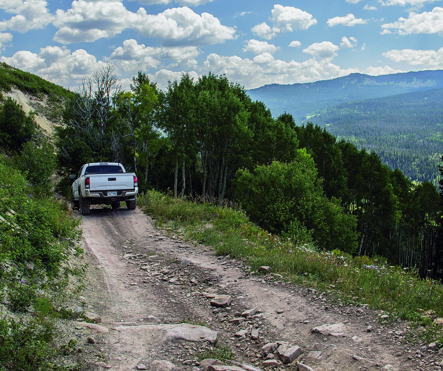
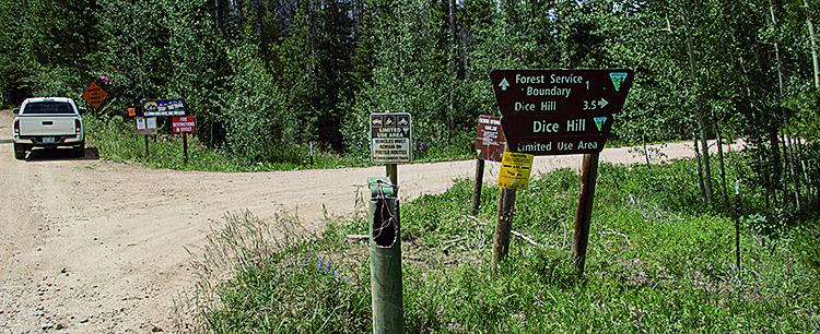
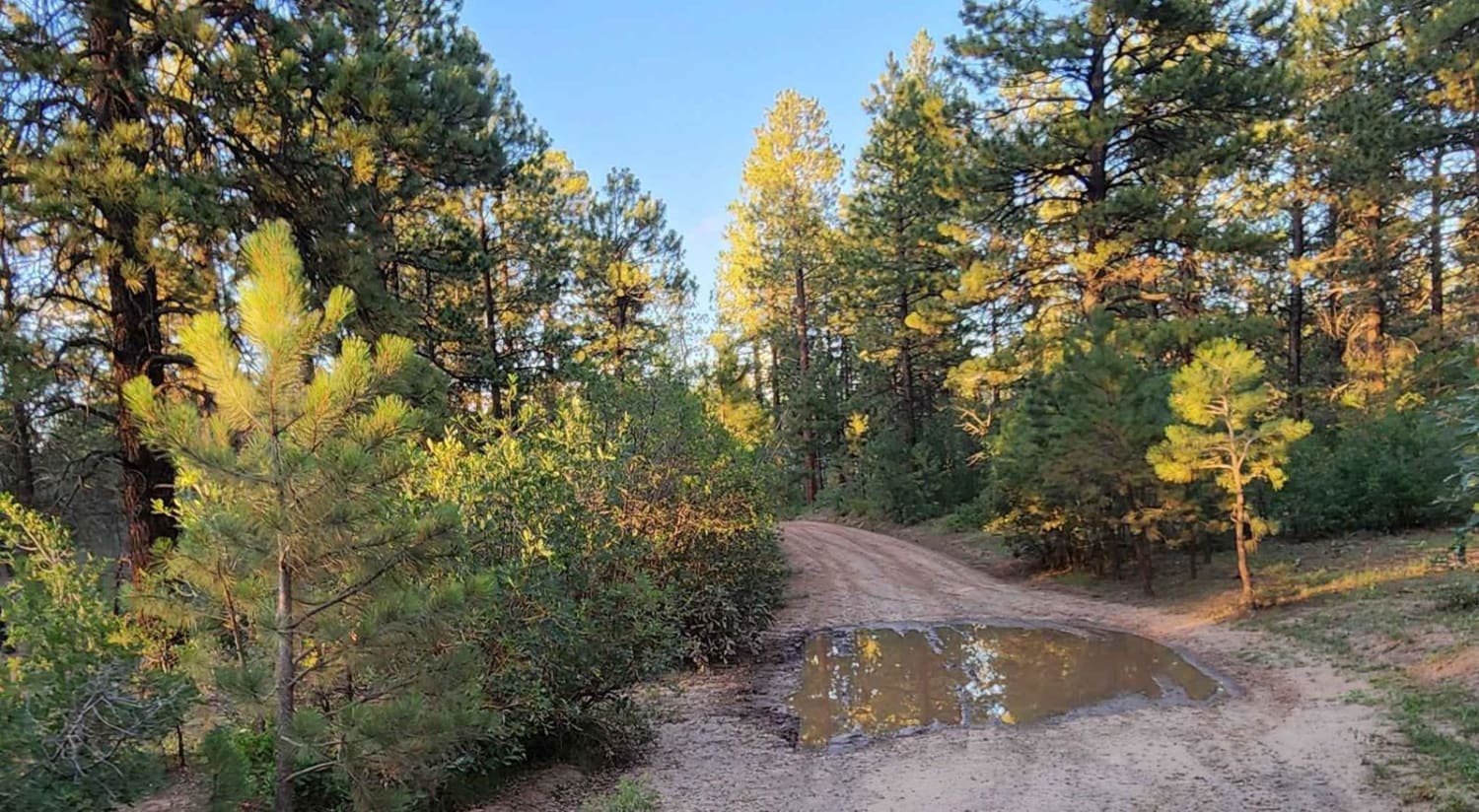
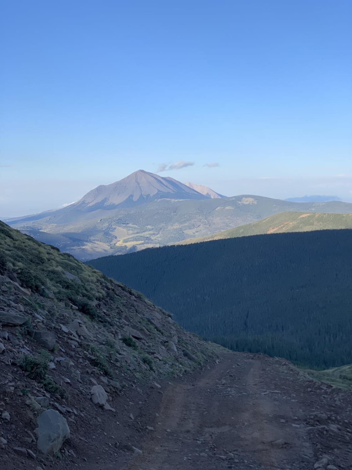
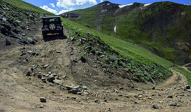
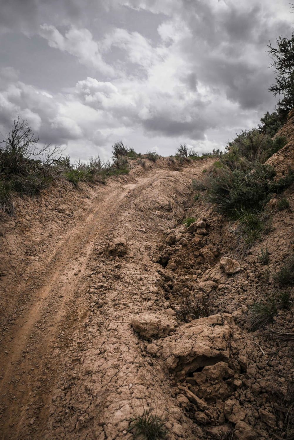
Trail Overview
Make your way up the side of this mountain on varied terrain. You'll see trees and a few glimpses of the valley below. End of the trail is an easy route passing some cool old farm structures. There are other backroads in the area. Most allow Unlicensed ATVs and UTVs.
Photos of Sheephorn Mountain
Difficulty
Moderate. Very easy most of the way, except between Wpts. 03 and 04. Here the trail becomes a narrow shelf road that we rate as moderate. Suitable for stock, high-clearance SUVs.
Status Reports
Sheephorn Mountain can be accessed by the following ride types:
- High-Clearance 4x4
- SUV
- SxS (60")
- ATV (50")
- Dirt Bike
Sheephorn Mountain Map
Popular Trails
Upper House Creek Road
Hockett Gulch
The onX Offroad Difference
onX Offroad combines trail photos, descriptions, difficulty ratings, width restrictions, seasonality, and more in a user-friendly interface. Available on all devices, with offline access and full compatibility with CarPlay and Android Auto. Discover what you’re missing today!