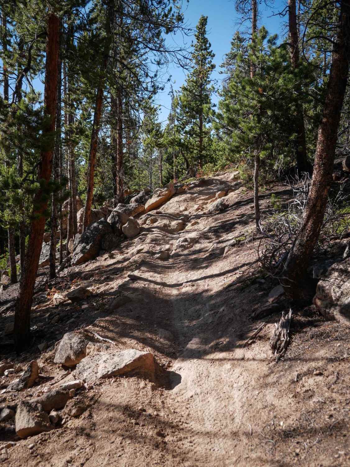
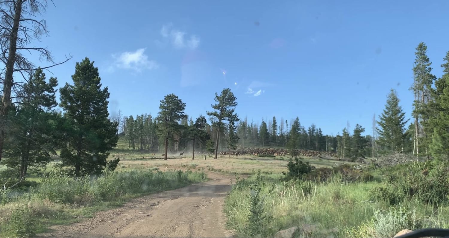
Off-Road Trails in Colorado
Discover off-road trails in Colorado
Learn more about Porcupine Gulch
Porcupine Gulch
Total Miles
0.9
Tech Rating
Moderate
Best Time
Summer, Fall
Learn more about Porter Cutoff - FS 535
Porter Cutoff - FS 535
Total Miles
2.2
Tech Rating
Easy
Best Time
Spring, Summer, Fall
Learn more about Porter Mountain - FS 534
Porter Mountain - FS 534
Total Miles
3.6
Tech Rating
Easy
Best Time
Spring, Summer, Fall
Learn more about Poughkeepsie Gulch
Poughkeepsie Gulch
Total Miles
5.2
Tech Rating
Difficult
Best Time
Summer, Fall

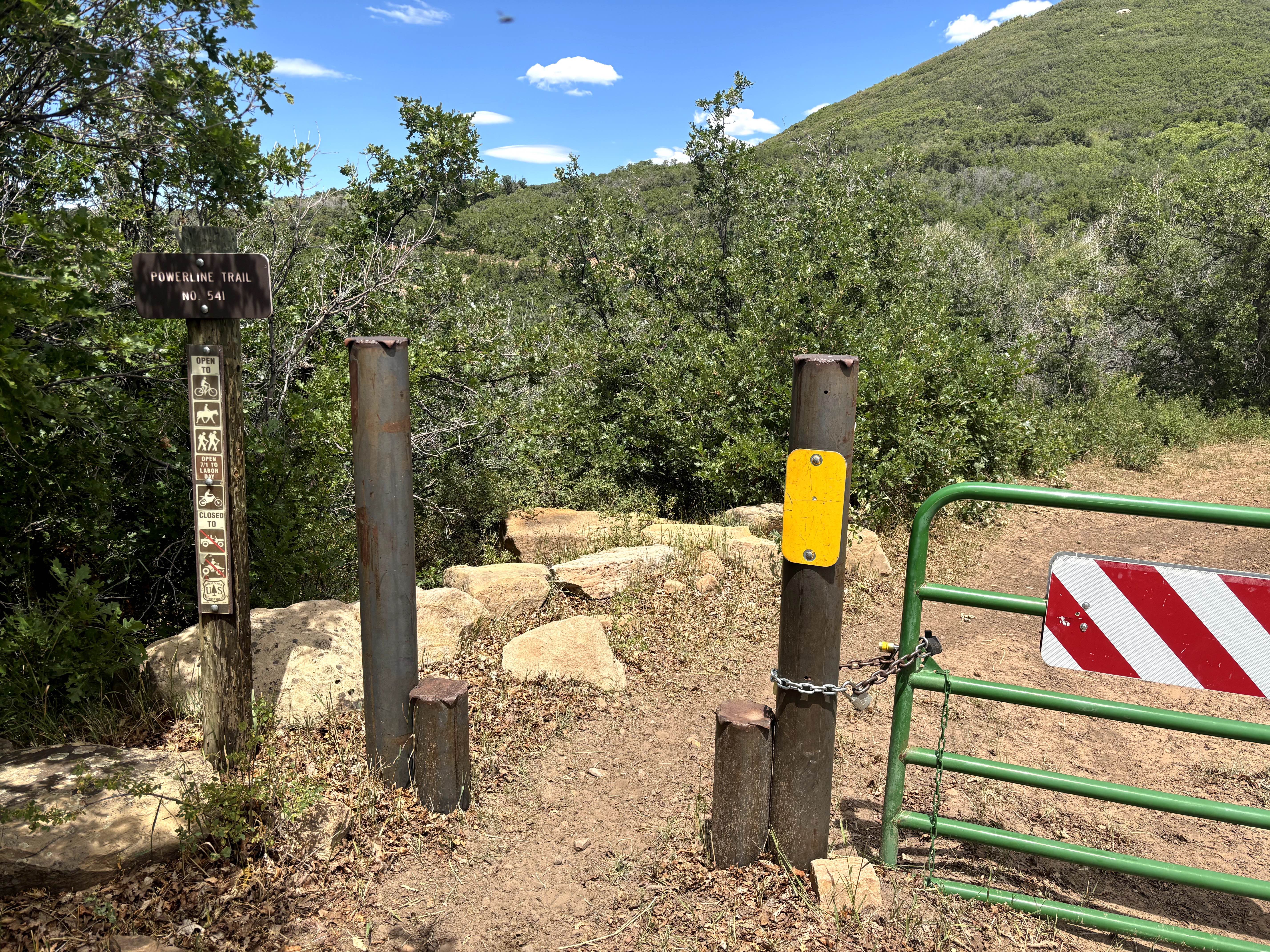
Learn more about Powerline - Cunningham Road
Powerline - Cunningham Road
Total Miles
6.2
Tech Rating
Easy
Best Time
Summer
Learn more about Powerline East Road 318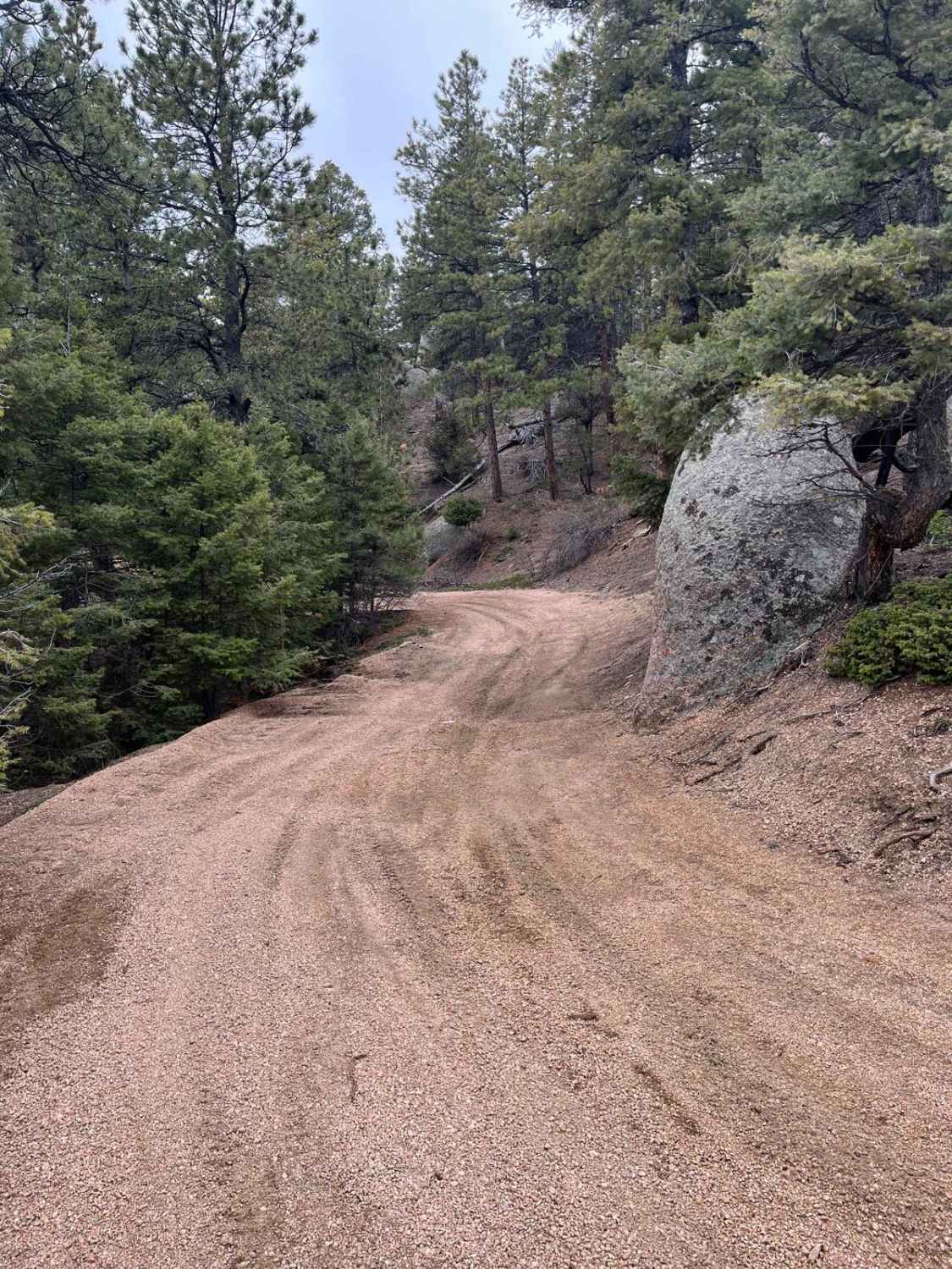
Powerline East Road 318
Total Miles
4.0
Tech Rating
Easy
Best Time
Fall, Summer, Spring
Learn more about Powerline Wash Loop
Powerline Wash Loop
Total Miles
9.9
Tech Rating
Moderate
Best Time
Fall, Summer, Spring
Learn more about Pratt Creek Cutoff North
Pratt Creek Cutoff North
Total Miles
4.8
Tech Rating
Moderate
Best Time
Summer, Fall
Learn more about Pratt Creek Cutoff South
Pratt Creek Cutoff South
Total Miles
4.2
Tech Rating
Easy
Best Time
Summer, Fall
Learn more about Pride of the West Tunnel
Pride of the West Tunnel
Total Miles
12.2
Tech Rating
Easy
Best Time
Summer, Fall
Learn more about Prospect Hill Rd (GH-38) to Sidewinder Rd (GH-35)
Prospect Hill Rd (GH-38) to Sidewinder Rd (GH-35)
Total Miles
1.2
Tech Rating
Easy
Best Time
Spring, Summer, Fall
ATV trails in Colorado

Learn more about 16 Road, Coal Gulch
16 Road, Coal Gulch
Total Miles
14.1
Tech Rating
Easy
Best Time
Spring, Fall


UTV/side-by-side trails in Colorado
Learn more about 16 Road, Coal Gulch
16 Road, Coal Gulch
Total Miles
14.1
Tech Rating
Easy
Best Time
Spring, Fall

The onX Offroad Difference
onX Offroad combines trail photos, descriptions, difficulty ratings, width restrictions, seasonality, and more in a user-friendly interface. Available on all devices, with offline access and full compatibility with CarPlay and Android Auto. Discover what you’re missing today!