Powerline
Total Miles
1.3
Technical Rating
Best Time
Summer, Fall
Trail Type
Single Track
Accessible By
Trail Overview
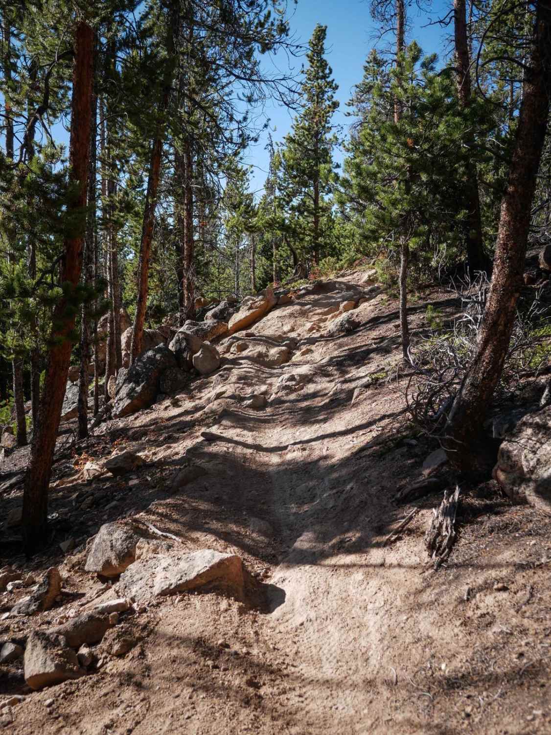
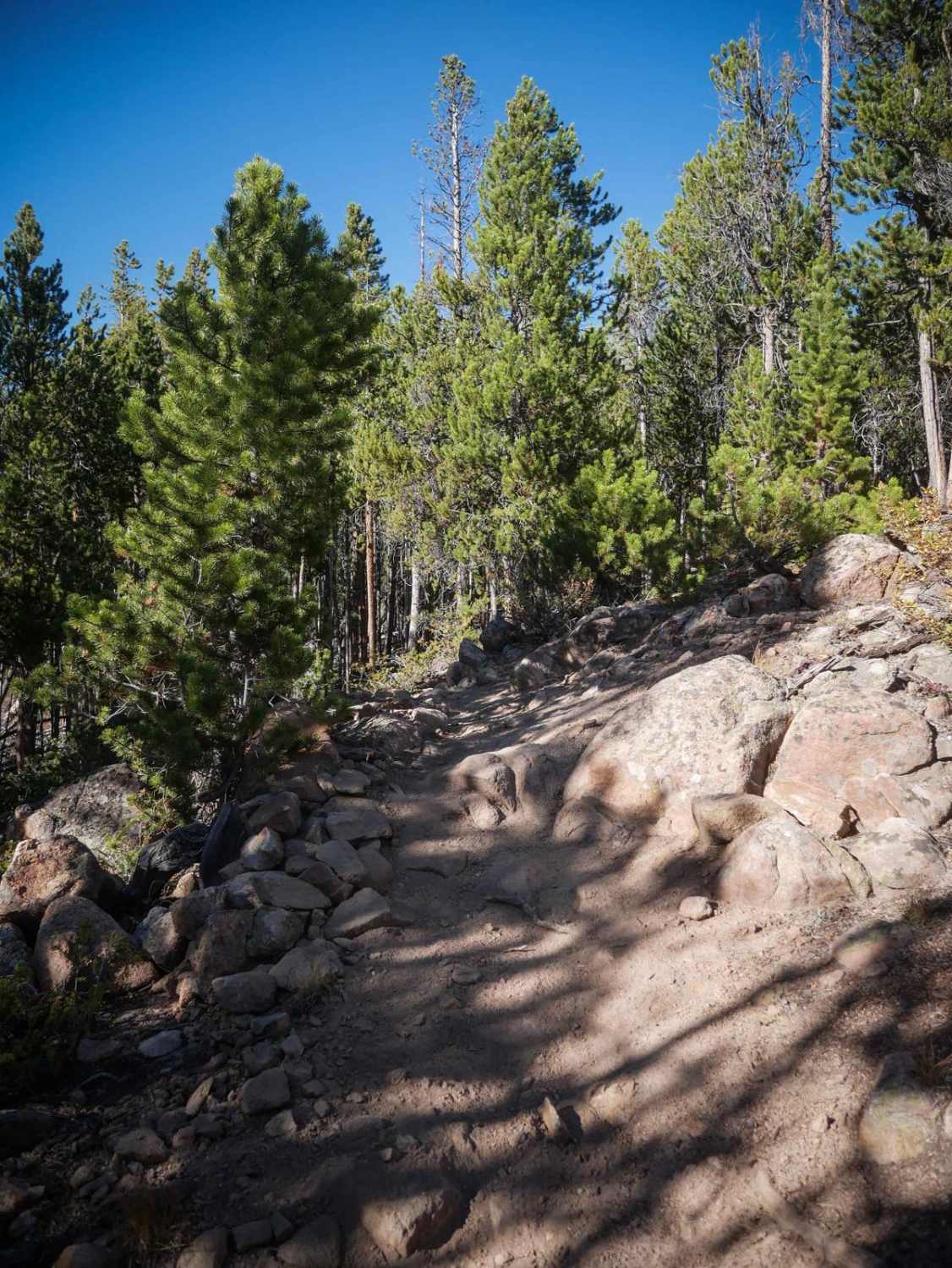
This single track starts on a wide track through extensive grassy meadows and curves through the lodgepole pine tree forest on a smooth, easy trail. It cuts across the mountainsides and climbs up the mountain with a few big, wide corners. The trail has more rocks and roots than the other trails in the area, but the majority is still smooth. It goes underneath some powerlines. One steeper spot with a few embedded boulders makes this trail slightly more complicated than many other trails in the area, with a small rock ledge less than a foot tall. It goes over some bridges across a meadow, then passes the intersection for the Powerhair Trail, and ends on Frey Gulch Road. This trail is open 7/1 - 10/9 for motorized use.
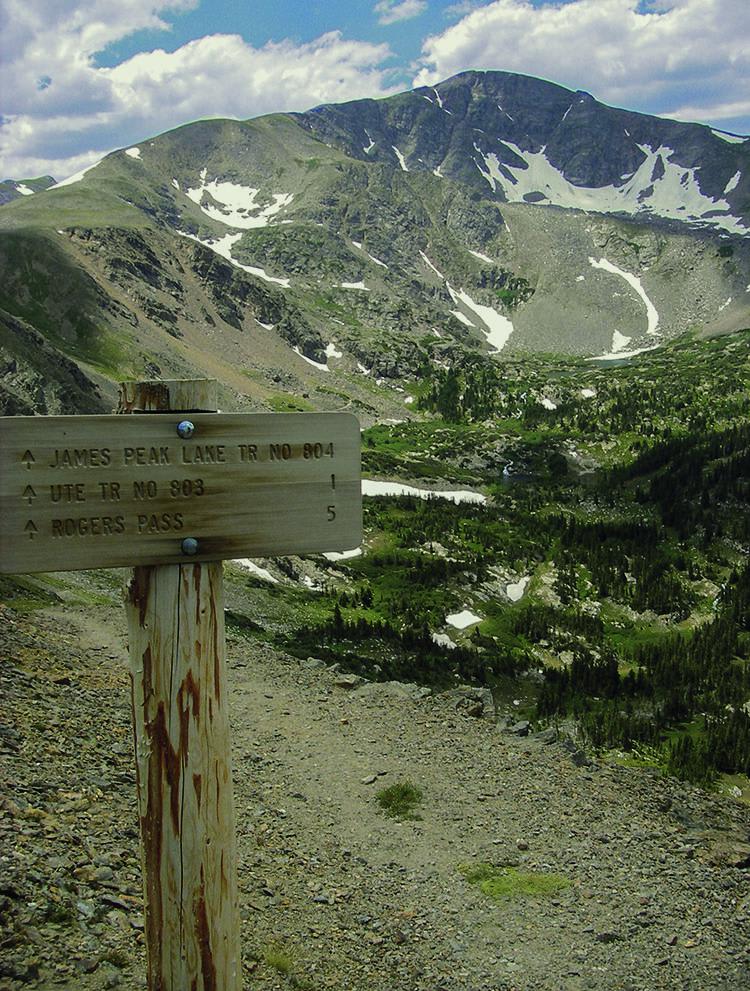
Photos of Powerline
Difficulty
This one is slightly harder than the other trails in the trail system because it has one rockier spot with embedded boulders and a small rock ledge less than a foot tall.
Status Reports
Powerline can be accessed by the following ride types:
- Dirt Bike
Powerline Map
Popular Trails

East Branch Road
Pony Park Road - 433
The onX Offroad Difference
onX Offroad combines trail photos, descriptions, difficulty ratings, width restrictions, seasonality, and more in a user-friendly interface. Available on all devices, with offline access and full compatibility with CarPlay and Android Auto. Discover what you’re missing today!