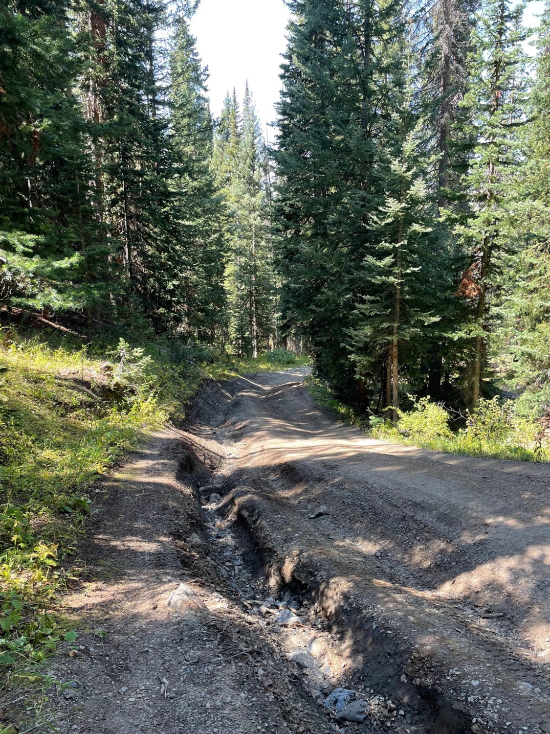
Off-Road Trails in Colorado
Discover off-road trails in Colorado
Learn more about Seep Springs - BLM Route 5830
Seep Springs - BLM Route 5830
Total Miles
3.4
Tech Rating
Easy
Best Time
Summer, Spring, Fall, Winter
Learn more about Sevenmile Creek
Sevenmile Creek
Total Miles
7.0
Tech Rating
Moderate
Best Time
Summer, Fall
Learn more about Sevenmile Creek Road
Sevenmile Creek Road
Total Miles
2.4
Tech Rating
Easy
Best Time
Spring, Summer, Fall, Winter
Learn more about Shaeffer Dam Loop - BLM#6102K
Shaeffer Dam Loop - BLM#6102K
Total Miles
1.3
Tech Rating
Moderate
Best Time
Spring, Fall, Winter
Learn more about Shallow Creek - NF 508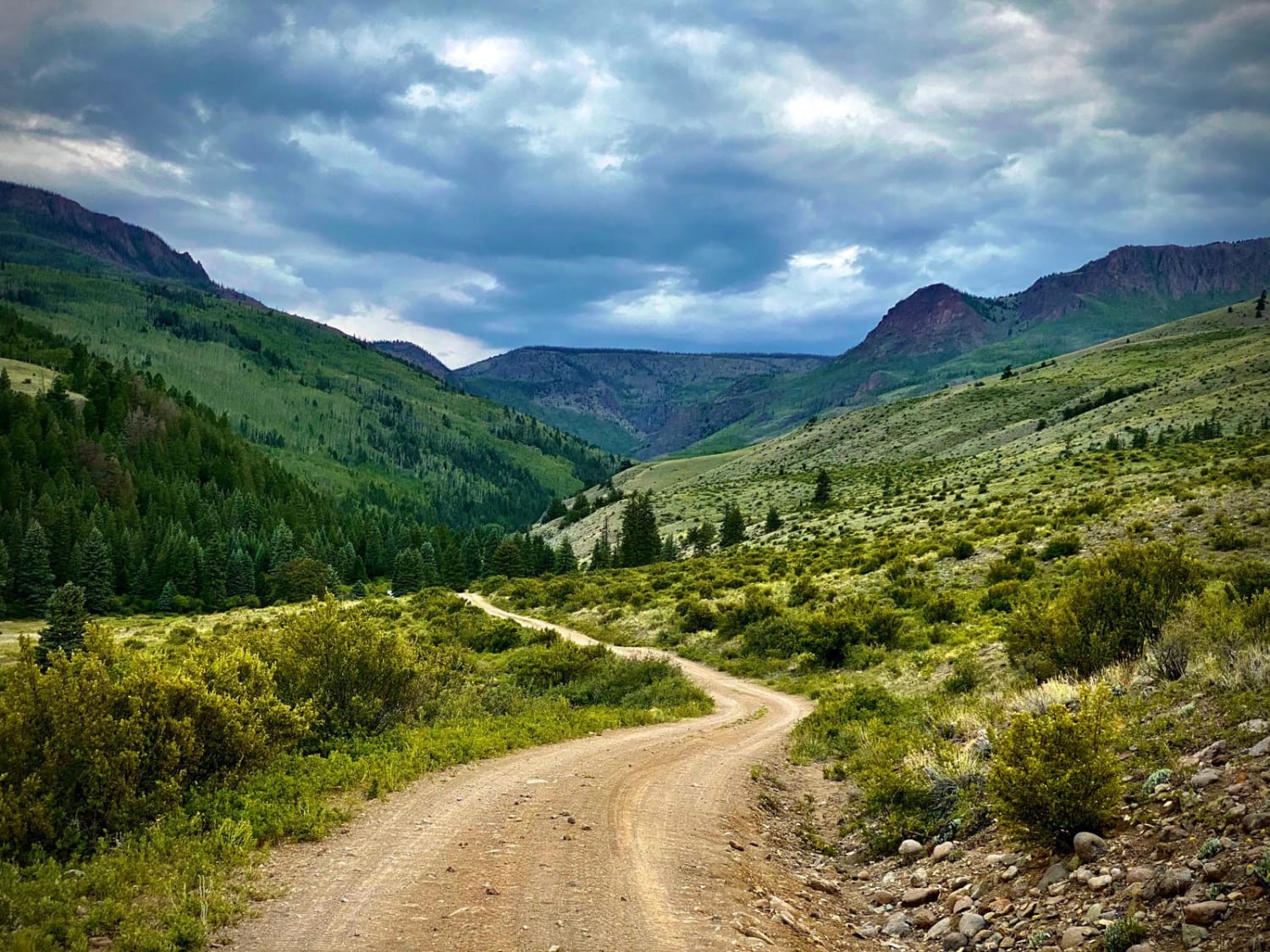
Shallow Creek - NF 508
Total Miles
1.9
Tech Rating
Easy
Best Time
Spring, Summer, Fall
Learn more about Sheep Mountain Interconnect Trail #740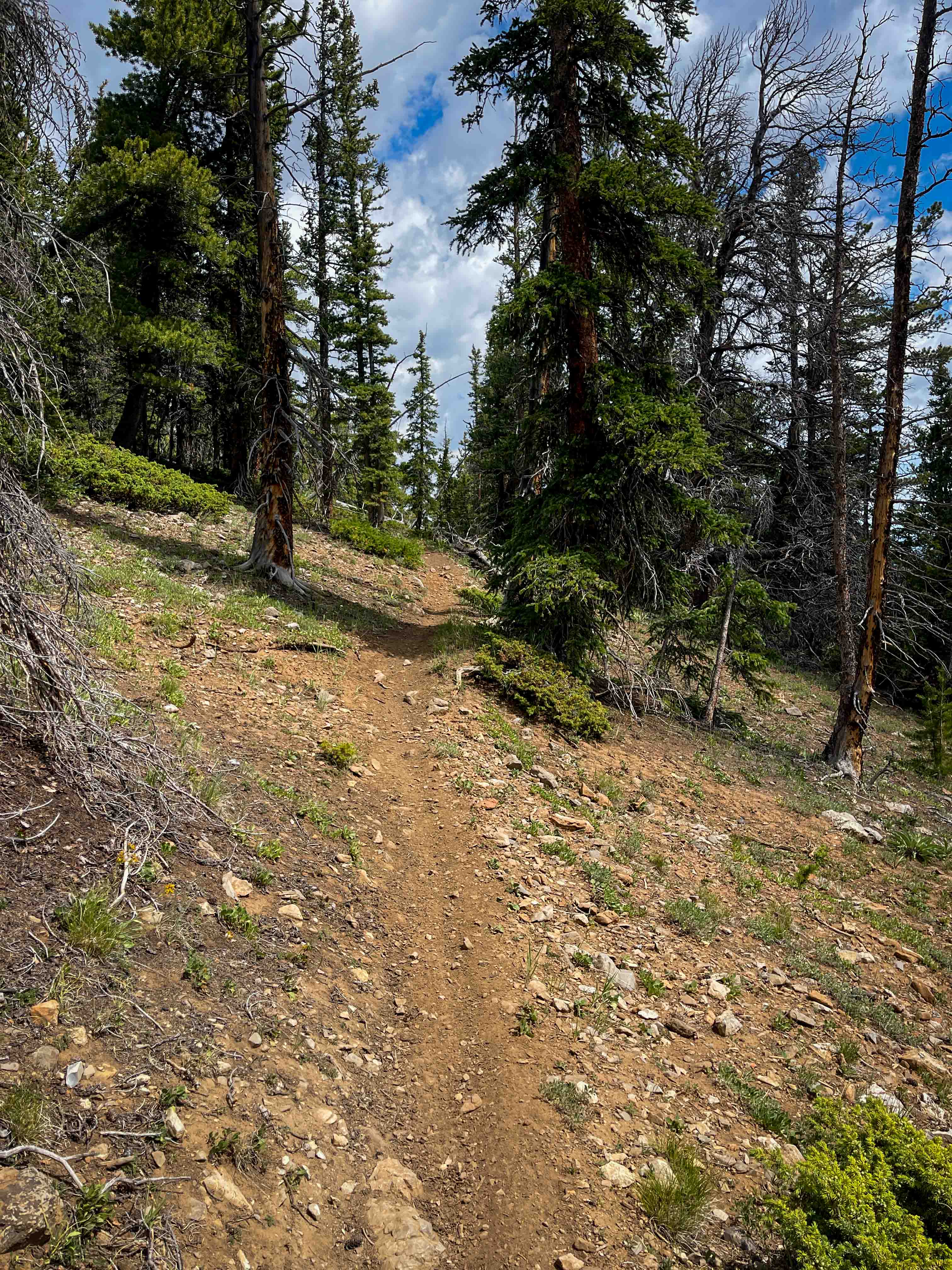
Sheep Mountain Interconnect Trail #740
Total Miles
2.1
Tech Rating
Easy
Best Time
Summer
Learn more about Sheep Mountain Trail #691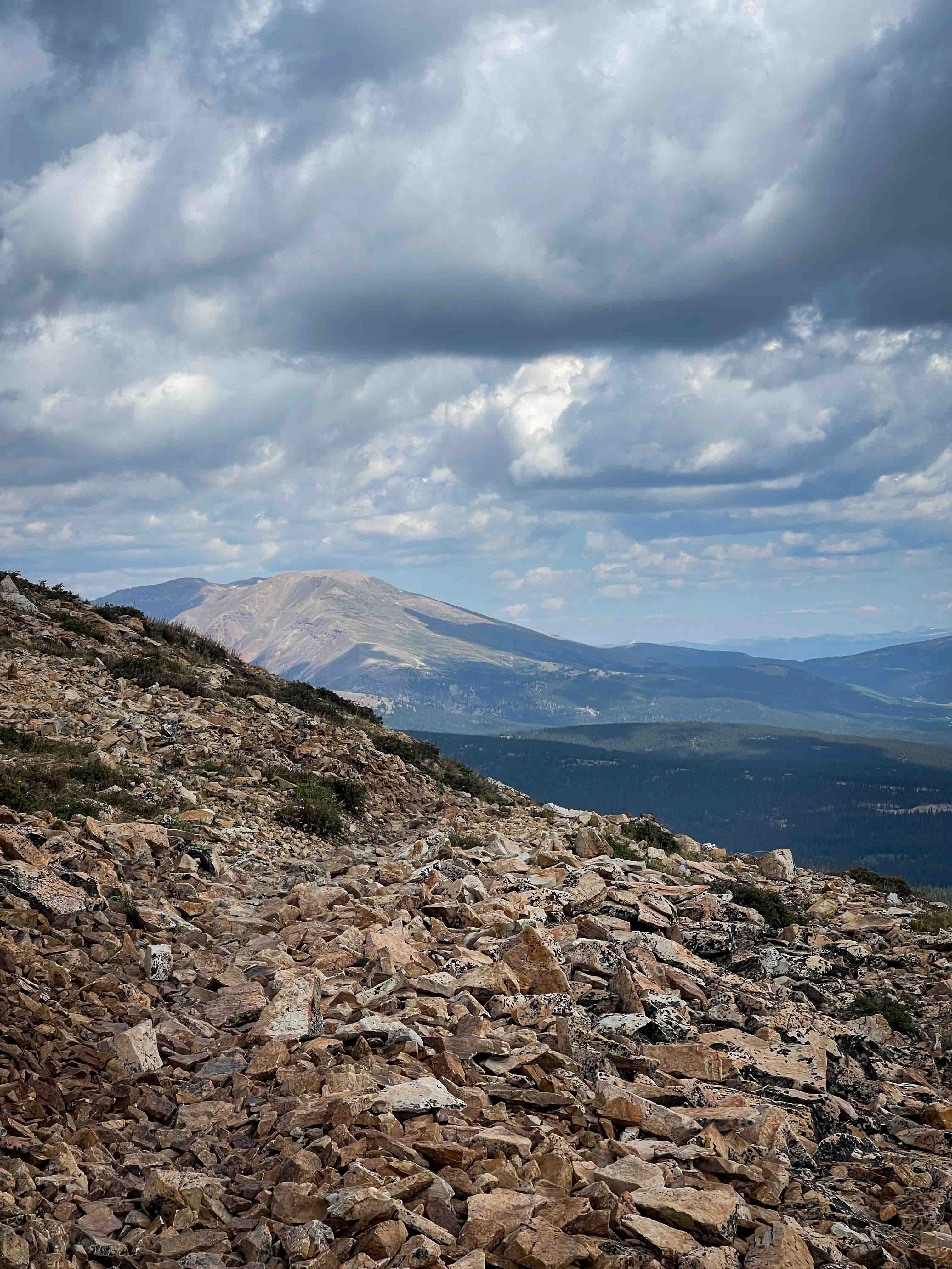
Sheep Mountain Trail #691
Total Miles
4.7
Tech Rating
Moderate
Best Time
Summer
Learn more about Sheephorn Mountain
Sheephorn Mountain
Total Miles
15.3
Tech Rating
Easy
Best Time
Summer, Fall
Learn more about Shelf Road, Phantom Canyon
Shelf Road, Phantom Canyon
Total Miles
60.5
Tech Rating
Easy
Best Time
Summer, Fall
Learn more about Shields Gulch
Shields Gulch
Total Miles
2.6
Tech Rating
Easy
Best Time
Winter, Spring, Fall, Summer
Learn more about Sidewinder 1226.1A
Sidewinder 1226.1A
Total Miles
2.8
Tech Rating
Easy
Best Time
Summer, Fall
Learn more about Sidewinder Trail
Sidewinder Trail
Total Miles
18.7
Tech Rating
Difficult
Best Time
Fall, Spring, Summer
Learn more about Signal Butte Trail
Signal Butte Trail
Total Miles
16.3
Tech Rating
Easy
Best Time
Spring, Summer, Fall, Winter
Learn more about Silver Basin Trail
Silver Basin Trail
Total Miles
1.6
Tech Rating
Moderate
Best Time
Summer, Fall
Learn more about Silver Cloud Mine
Silver Cloud Mine
Total Miles
1.4
Tech Rating
Moderate
Best Time
Summer, Fall
ATV trails in Colorado

Learn more about 16 Road, Coal Gulch
16 Road, Coal Gulch
Total Miles
14.1
Tech Rating
Easy
Best Time
Spring, Fall


UTV/side-by-side trails in Colorado
Learn more about 16 Road, Coal Gulch
16 Road, Coal Gulch
Total Miles
14.1
Tech Rating
Easy
Best Time
Spring, Fall

The onX Offroad Difference
onX Offroad combines trail photos, descriptions, difficulty ratings, width restrictions, seasonality, and more in a user-friendly interface. Available on all devices, with offline access and full compatibility with CarPlay and Android Auto. Discover what you’re missing today!