Shaeffer Dam Loop - BLM#6102K
Total Miles
1.3
Technical Rating
Best Time
Spring, Fall, Winter
Trail Type
High-Clearance 4x4 Trail
Accessible By
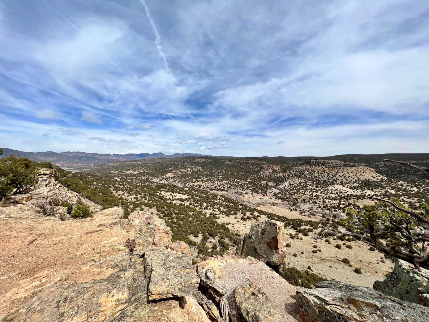
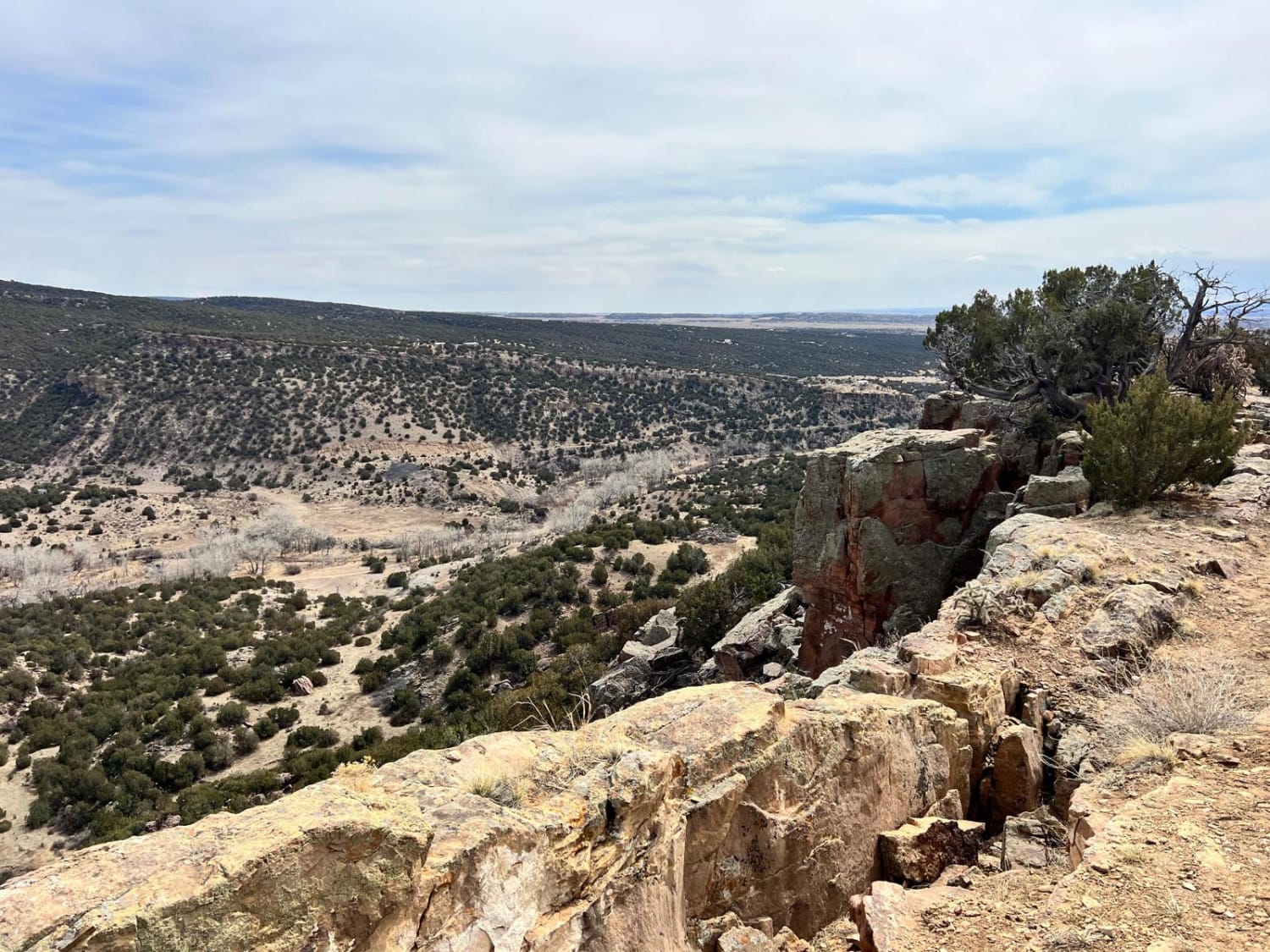
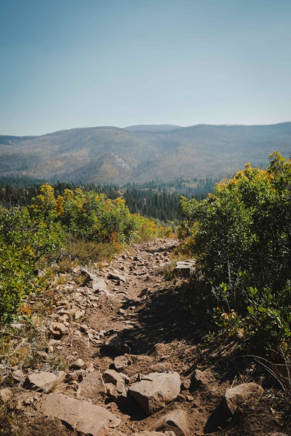
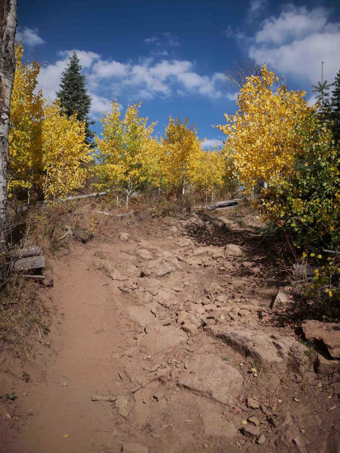
Trail Overview
Penrose Commons OHV Trail# 6102K is the easternmost trail of the Penrose Commons OHV recreational site. Majority of the trail traverses along the top edge of a valley overlooking the scenic cliffs of Patton Canyon and Beaver Creek. This is a site of the historic Schaeffer Dam collapse in June 1921 where heavy rains caused a crack in the dam's foundation that led to its subsequent collapse, releasing massive amounts of water and flooding the towns of Penrose and Pueblo, Colorado. Ruins of the dam's control tower are visible from a lookout along the trail. There are a couple of steep ledges up to 12" and narrow sections with tree branches that risk some light pin-striping. Penrose Commons offers dispersed camping, vault toilets, decent cell service, and a spacious staging area at the trailhead. The trails are also used for ATVs, dirt bikes, and horseback riding. It's open year-round but is subject to closure during wet weather conditions.
Photos of Shaeffer Dam Loop - BLM#6102K
Difficulty
There are a couple of steep ledges <12" and narrow sections with tree branches that risk pinstriping.
History
A scenic site where you can see ruins of an old damn that collapse in 1921. The Shaeffer Dam was originally called the Beaver Creek Dam and Reservoir. It was planned and implemented in 1907 by the Beaver Land and Irrigation Company which was formed by a group of investors from Colorado Springs, including Spencer Penrose. The dam collapsed in June 1921 when heavy rains caused a crack in the dam's foundation that let to its subsequent collapse, releasing massive amounts of water into the towns of Penrose and Pueblo, Colorado where hundreds of citizens perished.
Status Reports
Shaeffer Dam Loop - BLM#6102K can be accessed by the following ride types:
- High-Clearance 4x4
- SxS (60")
- ATV (50")
- Dirt Bike
Shaeffer Dam Loop - BLM#6102K Map
Popular Trails
North Fork Cattle Creek Trail
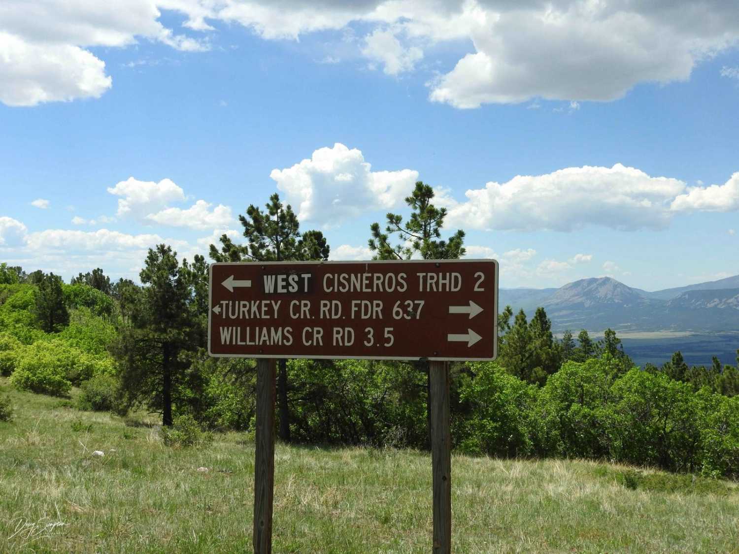
Turkey Creek Forest Road 637
The onX Offroad Difference
onX Offroad combines trail photos, descriptions, difficulty ratings, width restrictions, seasonality, and more in a user-friendly interface. Available on all devices, with offline access and full compatibility with CarPlay and Android Auto. Discover what you’re missing today!