Off-Road Trails in Colorado
Discover off-road trails in Colorado
Learn more about Snyder Creek Loop North Central
Snyder Creek Loop North Central
Total Miles
6.5
Tech Rating
Easy
Best Time
Summer, Fall
Learn more about Soap Creek FR 721
Soap Creek FR 721
Total Miles
10.3
Tech Rating
Moderate
Best Time
Spring, Summer, Fall
Learn more about Sound Democrat Mill
Sound Democrat Mill
Total Miles
0.4
Tech Rating
Easy
Best Time
Summer, Fall
Learn more about South Cottonwood Road CR 344
South Cottonwood Road CR 344
Total Miles
11.3
Tech Rating
Easy
Best Time
Spring, Summer, Fall
Learn more about South Derby Creek
South Derby Creek
Total Miles
11.5
Tech Rating
Difficult
Best Time
Summer, Fall
Learn more about South Divide 
South Divide
Total Miles
84.1
Tech Rating
Easy
Best Time
Spring, Summer, Fall
Learn more about South Elephant Ridge
South Elephant Ridge
Total Miles
1.0
Tech Rating
Easy
Best Time
Fall, Spring
Learn more about South Fern Leaf Gulch Road - BLM 6140
South Fern Leaf Gulch Road - BLM 6140
Total Miles
1.9
Tech Rating
Easy
Best Time
Fall, Spring, Summer
Learn more about South Fork Animas Trailhead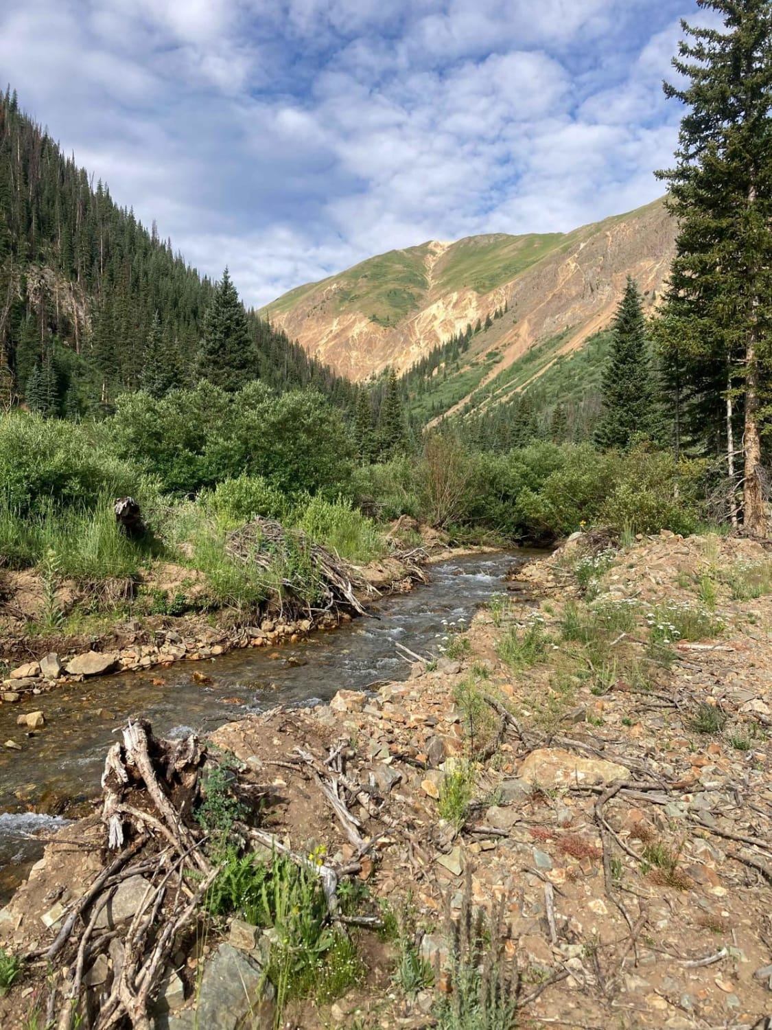
South Fork Animas Trailhead
Total Miles
0.5
Tech Rating
Easy
Best Time
Spring, Summer
Learn more about South Fork Ilium Road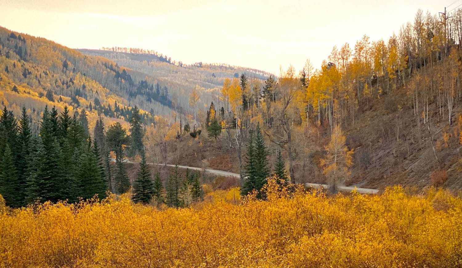
South Fork Ilium Road
Total Miles
6.0
Tech Rating
Easy
Best Time
Spring, Summer, Fall
Learn more about South Fork Road - FS 142.1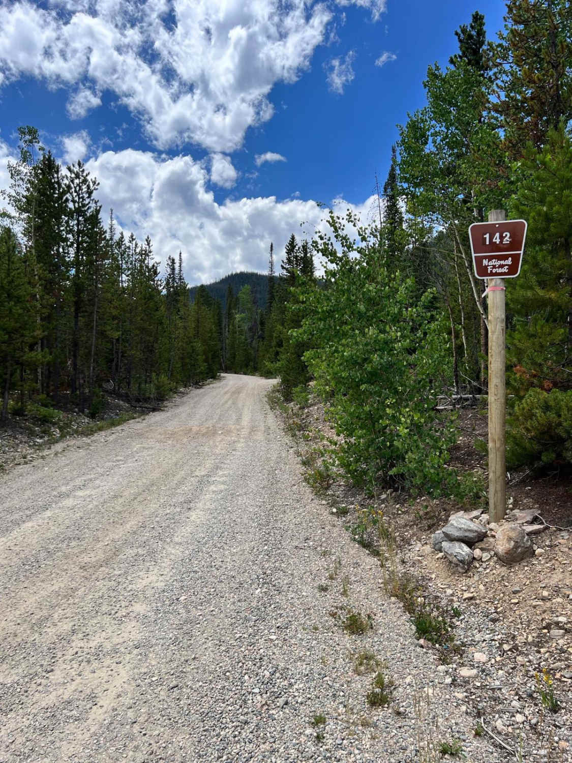
South Fork Road - FS 142.1
Total Miles
4.8
Tech Rating
Easy
Best Time
Spring, Summer, Fall
Learn more about South Fork Swan Trail #9088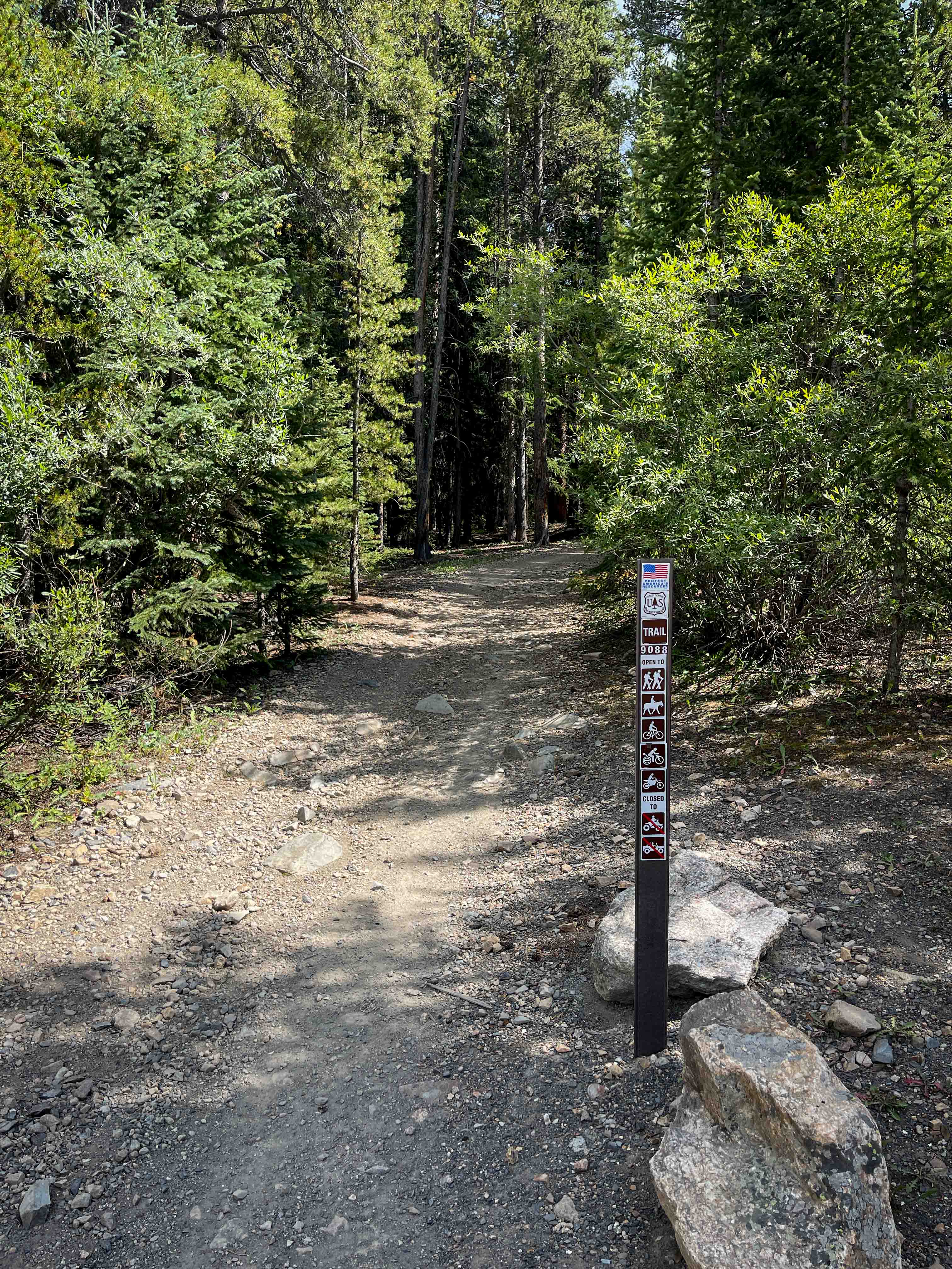
South Fork Swan Trail #9088
Total Miles
2.0
Tech Rating
Easy
Best Time
Summer
Learn more about South Landfill Ridge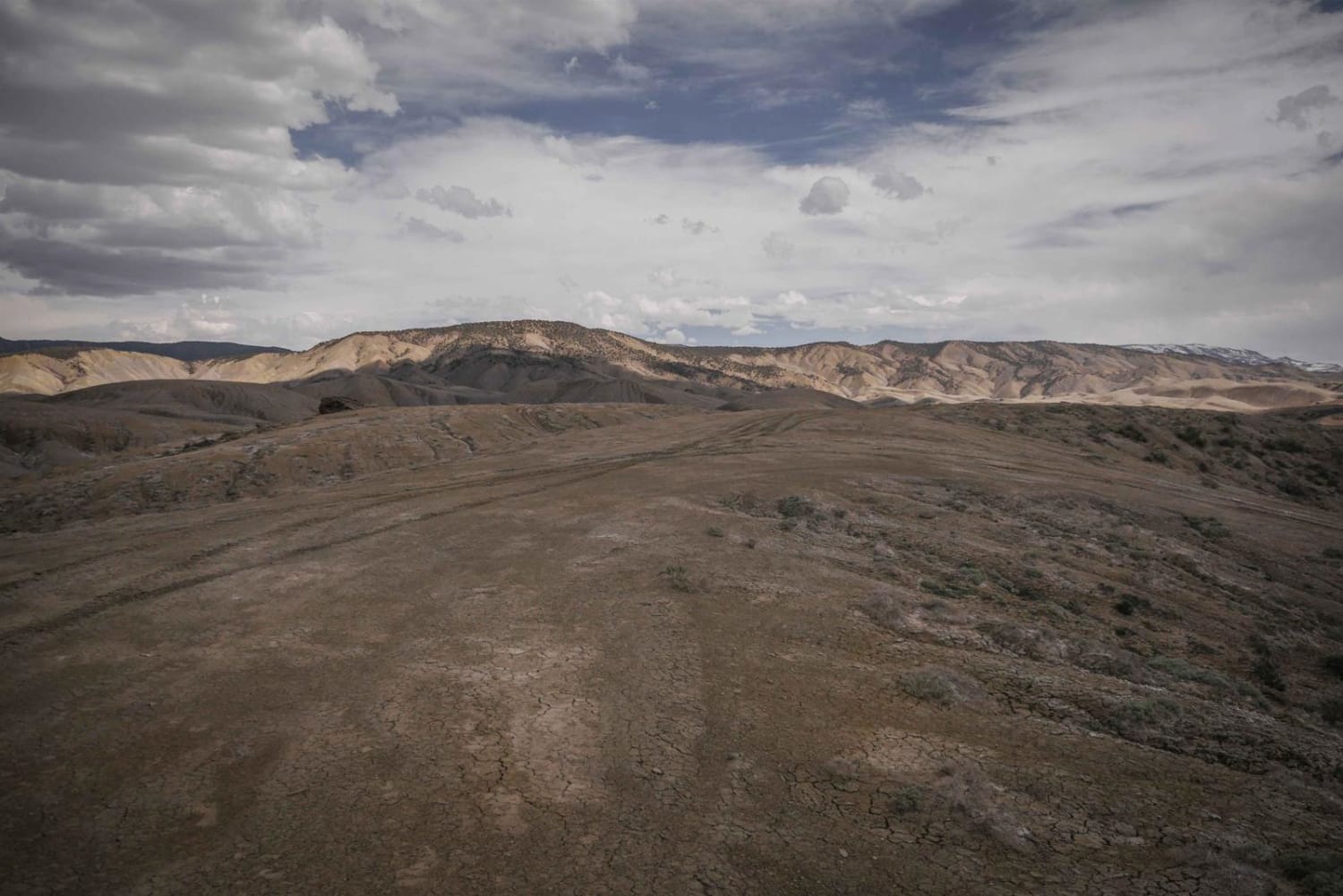
South Landfill Ridge
Total Miles
5.0
Tech Rating
Easy
Best Time
Fall, Spring
Learn more about South Mineral Road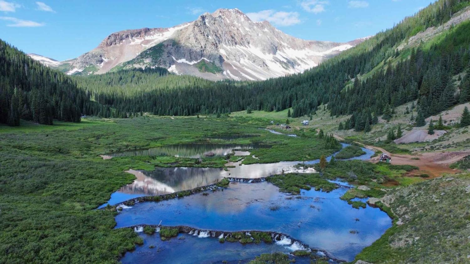
South Mineral Road
Total Miles
6.8
Tech Rating
Easy
Best Time
Summer, Fall
Learn more about South Mosquito Road FS 696
South Mosquito Road FS 696
Total Miles
4.1
Tech Rating
Easy
Best Time
Summer
ATV trails in Colorado

Learn more about 16 Road, Coal Gulch
16 Road, Coal Gulch
Total Miles
14.1
Tech Rating
Easy
Best Time
Spring, Fall


UTV/side-by-side trails in Colorado
Learn more about 16 Road, Coal Gulch
16 Road, Coal Gulch
Total Miles
14.1
Tech Rating
Easy
Best Time
Spring, Fall

The onX Offroad Difference
onX Offroad combines trail photos, descriptions, difficulty ratings, width restrictions, seasonality, and more in a user-friendly interface. Available on all devices, with offline access and full compatibility with CarPlay and Android Auto. Discover what you’re missing today!