South Fern Leaf Gulch Road - BLM 6140
Total Miles
1.9
Technical Rating
Best Time
Fall, Spring, Summer
Trail Type
Full-Width Road
Accessible By
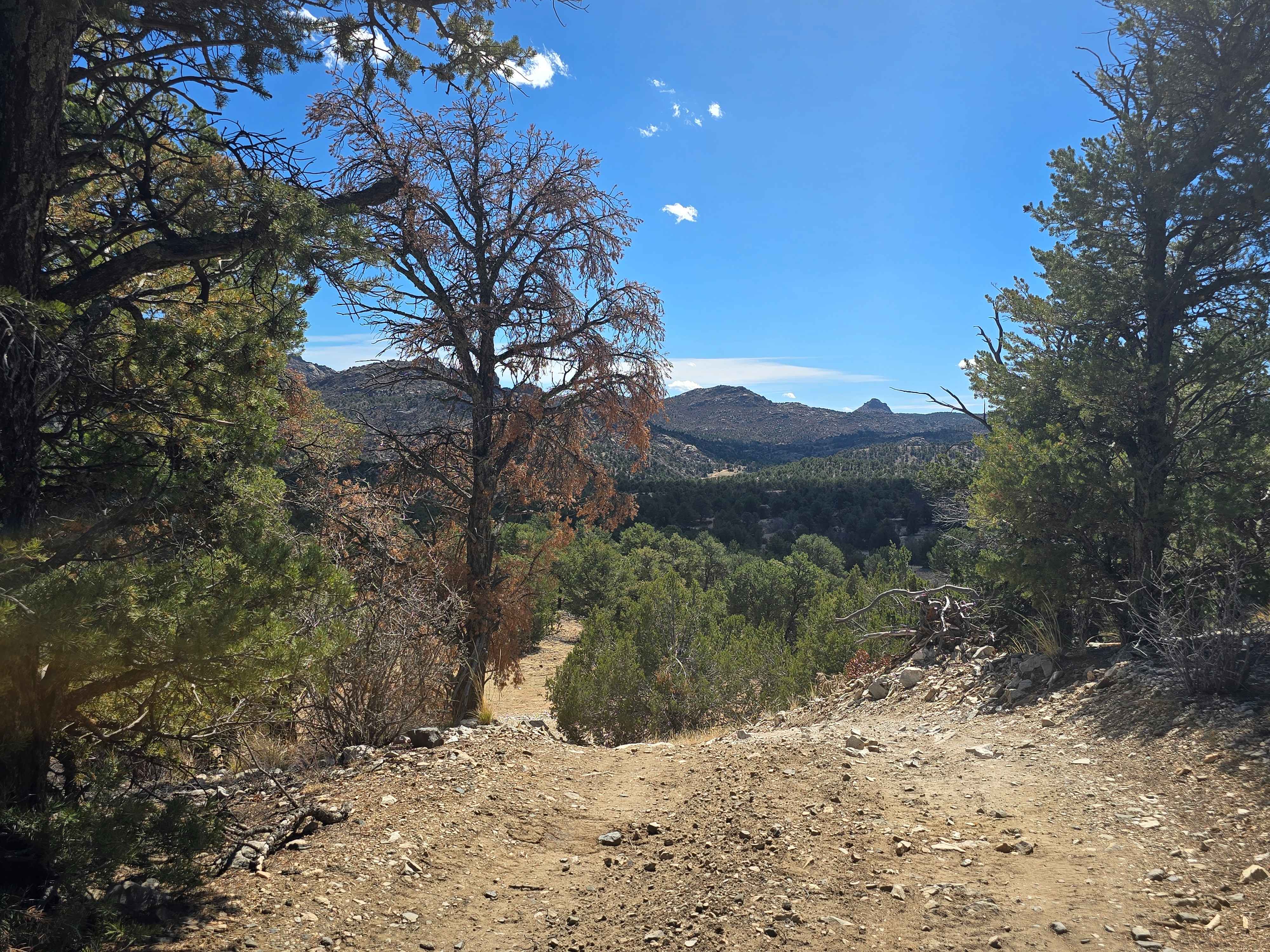
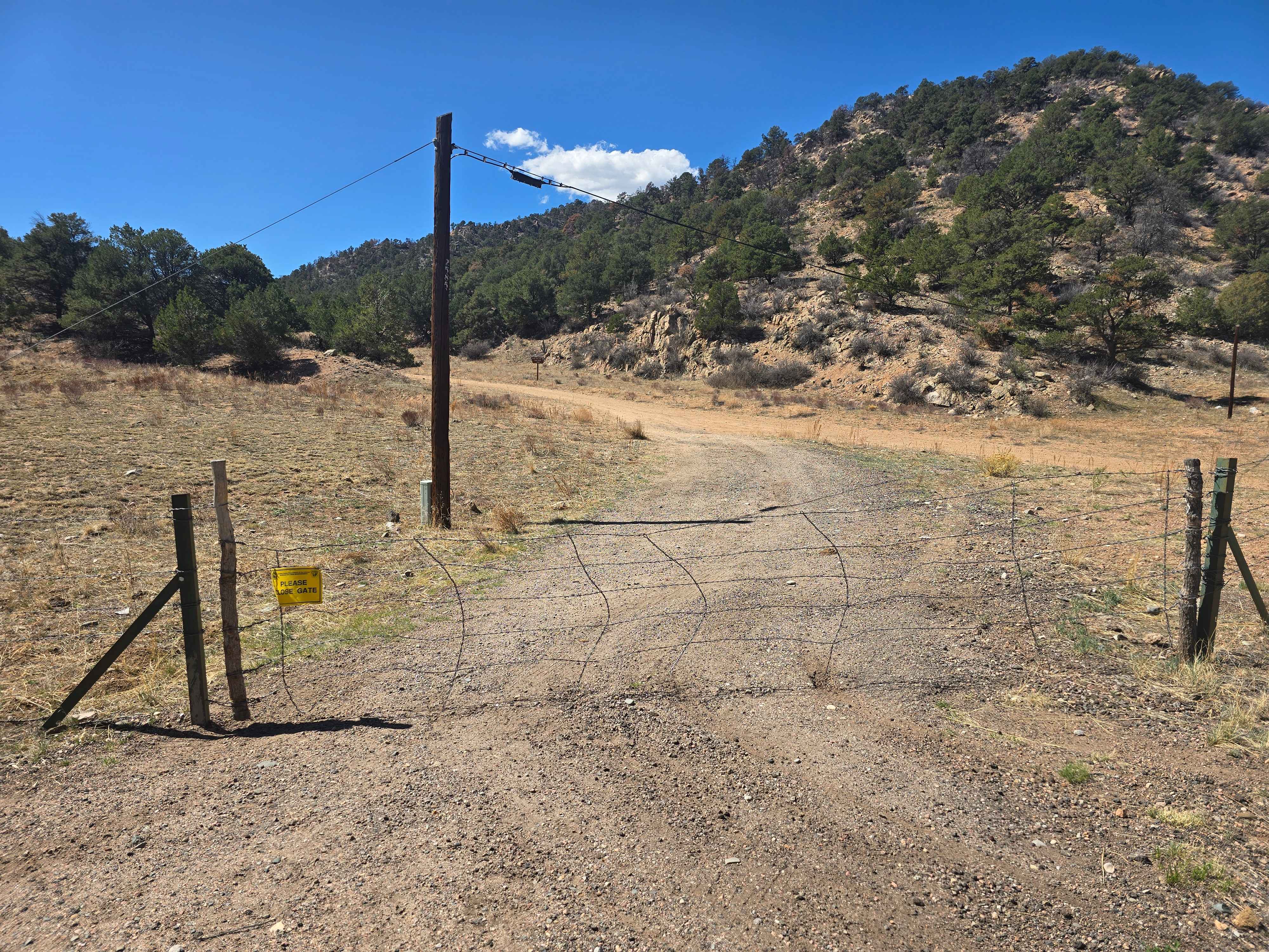
Trail Overview
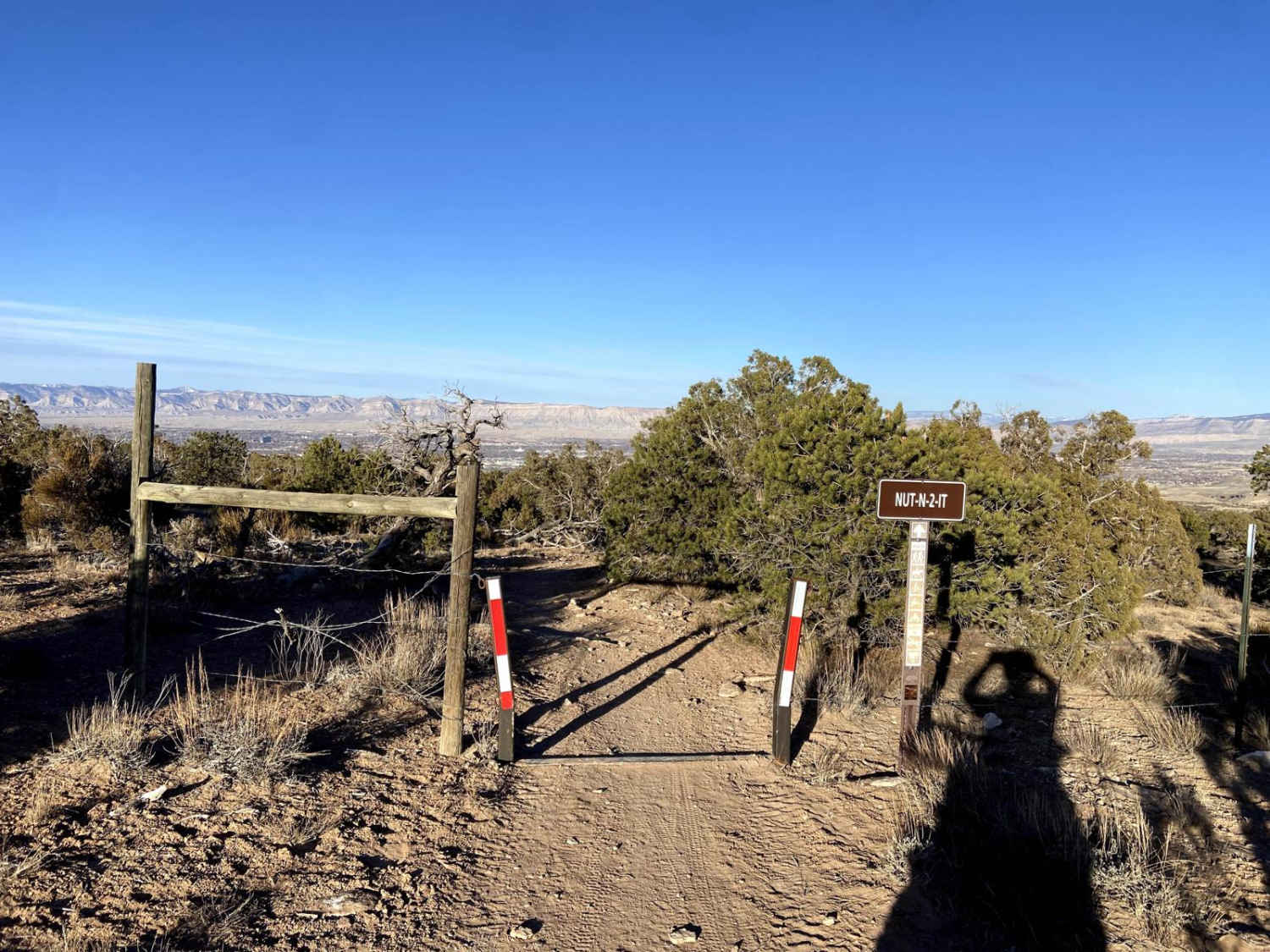
A hidden, easy-to-moderate dirt trail off of Highway 50 West between the towns of Texas Creek and Cotopaxi. Once you turn off Highway 50, there is a gate you open to access, but please close it after entering the trail. Dirt, loose gravel, and occasional embedded rock. Scenic route with mountain views, a unique rusted can pile, and Pinon-juniper woodland. As you climb even slightly, you'll start getting views toward the Sangre de Cristo Mountains.
Photos of South Fern Leaf Gulch Road - BLM 6140
Difficulty
Easy to moderate (can vary with conditions). Dirt, loose gravel, and occasional embedded rock with ruts and washouts (especially after storms). Mud sections when wet. Rocky patches require careful tire placement. Muddy in spring or after rain. Dry, dusty, and washboarded in summer. Possible snow/ice in winter, depending on elevation.
Status Reports
South Fern Leaf Gulch Road - BLM 6140 can be accessed by the following ride types:
- High-Clearance 4x4
- SUV
- ATV (50")
- Dirt Bike
South Fern Leaf Gulch Road - BLM 6140 Map
Popular Trails
Narrow Gauge Ditch Part 1
Dog Hair Road

Middle Barrett Creek
The onX Offroad Difference
onX Offroad combines trail photos, descriptions, difficulty ratings, width restrictions, seasonality, and more in a user-friendly interface. Available on all devices, with offline access and full compatibility with CarPlay and Android Auto. Discover what you’re missing today!