Off-Road Trails in Colorado
Discover off-road trails in Colorado
Learn more about T-33 Crash Site
T-33 Crash Site
Total Miles
2.9
Tech Rating
Difficult
Best Time
Summer, Fall

Learn more about Taylor Park Hills & Thrills
Taylor Park Hills & Thrills
Total Miles
1.7
Tech Rating
Easy
Best Time
Spring, Summer, Fall

Learn more about Technical Becks 
Technical Becks
Total Miles
0.2
Tech Rating
Difficult
Best Time
Spring, Summer, Fall
Learn more about Tellurium Creek Road
Tellurium Creek Road
Total Miles
5.9
Tech Rating
Moderate
Best Time
Summer
Learn more about Temple Canyon Road CR3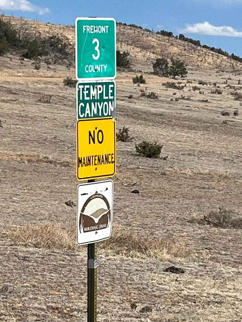
Temple Canyon Road CR3
Total Miles
10.1
Tech Rating
Easy
Best Time
Spring, Summer, Fall, Winter
Learn more about Tenderfoot Mountain 
Tenderfoot Mountain
Total Miles
5.9
Tech Rating
Easy
Best Time
Summer, Fall


Learn more about Terrain Park 
Terrain Park
Total Miles
0.8
Tech Rating
Moderate
Best Time
Spring, Summer, Fall
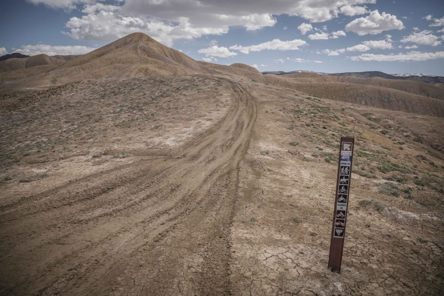
Learn more about Teton - Kings Ditch Connector 
Teton - Kings Ditch Connector
Total Miles
1.1
Tech Rating
Easy
Best Time
Fall, Spring
Learn more about Texas Creek (F.S RD 755)
Texas Creek (F.S RD 755)
Total Miles
8.7
Tech Rating
Moderate
Best Time
Fall, Summer, Spring
Learn more about Texas Creek (FSR 755)
Texas Creek (FSR 755)
Total Miles
8.7
Tech Rating
Moderate
Best Time
Fall, Summer, Spring
Learn more about Texas Creek Woodsy Loop Trail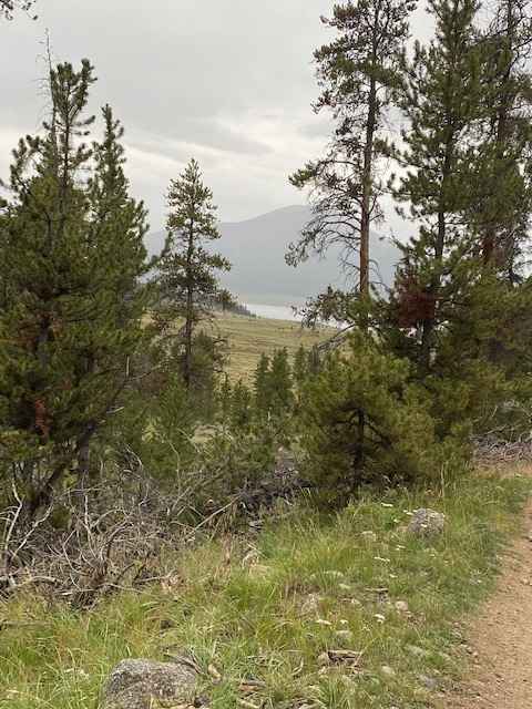
Texas Creek Woodsy Loop Trail
Total Miles
3.2
Tech Rating
Easy
Best Time
Summer
Learn more about The Banks BLM Road 5820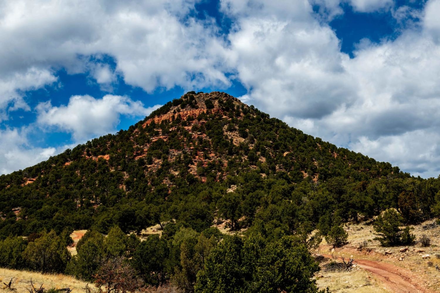
The Banks BLM Road 5820
Total Miles
5.8
Tech Rating
Easy
Best Time
Spring, Summer, Fall, Winter
Learn more about The Crown: BLM Road #8320
The Crown: BLM Road #8320
Total Miles
7.0
Tech Rating
Easy
Best Time
Summer, Fall
ATV trails in Colorado

Learn more about 16 Road, Coal Gulch
16 Road, Coal Gulch
Total Miles
14.1
Tech Rating
Easy
Best Time
Spring, Fall


UTV/side-by-side trails in Colorado
Learn more about 16 Road, Coal Gulch
16 Road, Coal Gulch
Total Miles
14.1
Tech Rating
Easy
Best Time
Spring, Fall

The onX Offroad Difference
onX Offroad combines trail photos, descriptions, difficulty ratings, width restrictions, seasonality, and more in a user-friendly interface. Available on all devices, with offline access and full compatibility with CarPlay and Android Auto. Discover what you’re missing today!