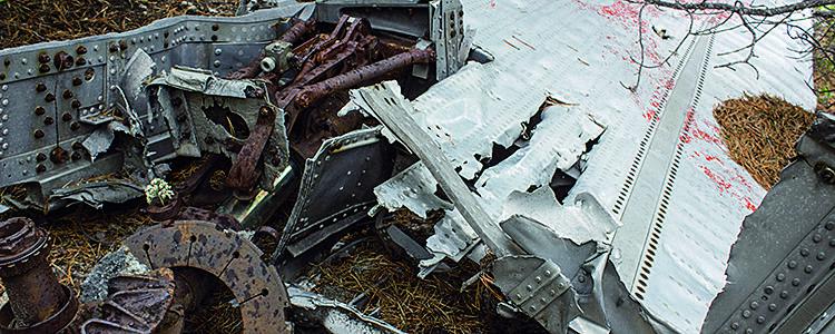
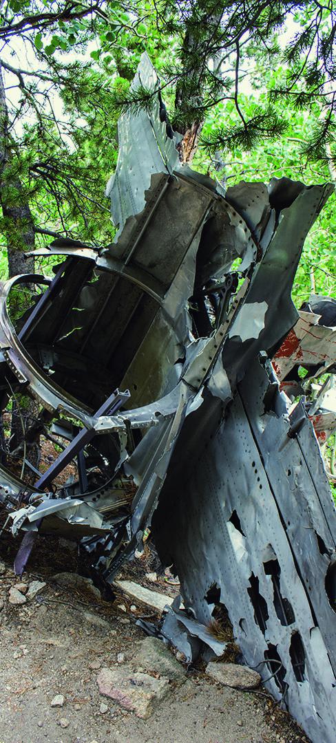
T-33 Crash Site
Total Miles
2.9
Technical Rating
Best Time
Summer, Fall
Trail Type
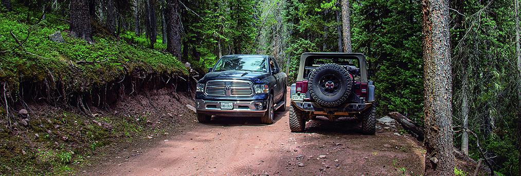
High-Clearance 4x4 Trail
Accessible By
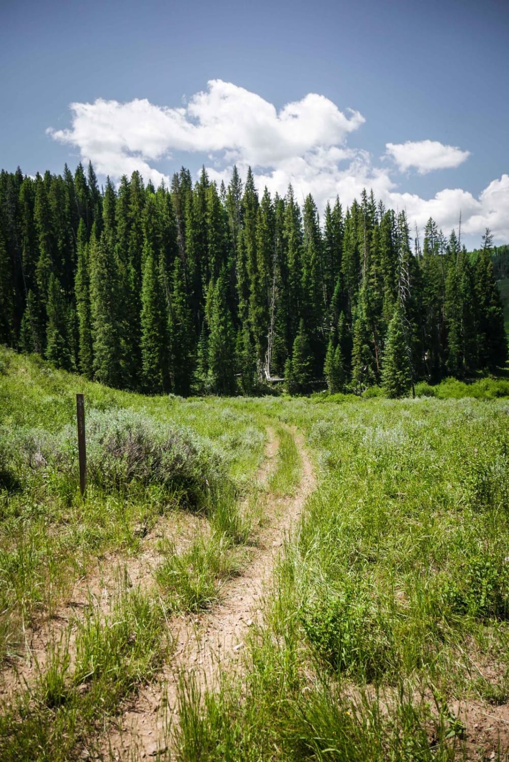
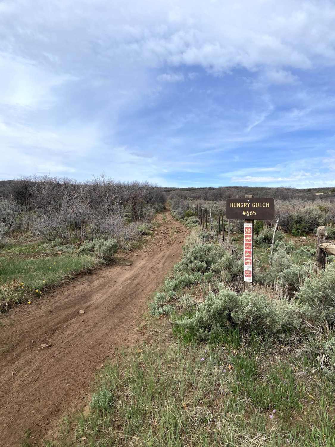
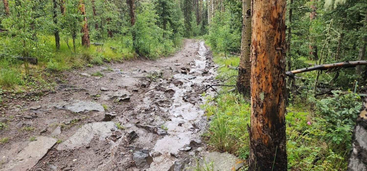
Trail Overview
This trail takes you to plane wreckage and will challenge the most experienced of drivers. It will also test your rig's clearance and articulation. There are a few spots you can pull over to let others pass. Open June 15 to November 15.
Photos of T-33 Crash Site
Difficulty
Difficult. Large embeded boulders mixed with loose rock. Minimum 35-inch tires, short wheelbase with a rear locker. Challenging tight maneuvering through trees.
Status Reports
T-33 Crash Site can be accessed by the following ride types:
- High-Clearance 4x4
- SxS (60")
- ATV (50")
- Dirt Bike
T-33 Crash Site Map
Popular Trails
Nipple Peak ATV Trail
Lake Mountain
Italian Creek, Reno Divide
The onX Offroad Difference
onX Offroad combines trail photos, descriptions, difficulty ratings, width restrictions, seasonality, and more in a user-friendly interface. Available on all devices, with offline access and full compatibility with CarPlay and Android Auto. Discover what you’re missing today!