Tabeguache
Total Miles
12.5
Technical Rating
Best Time
Summer, Fall
Trail Type
High-Clearance 4x4 Trail
Accessible By
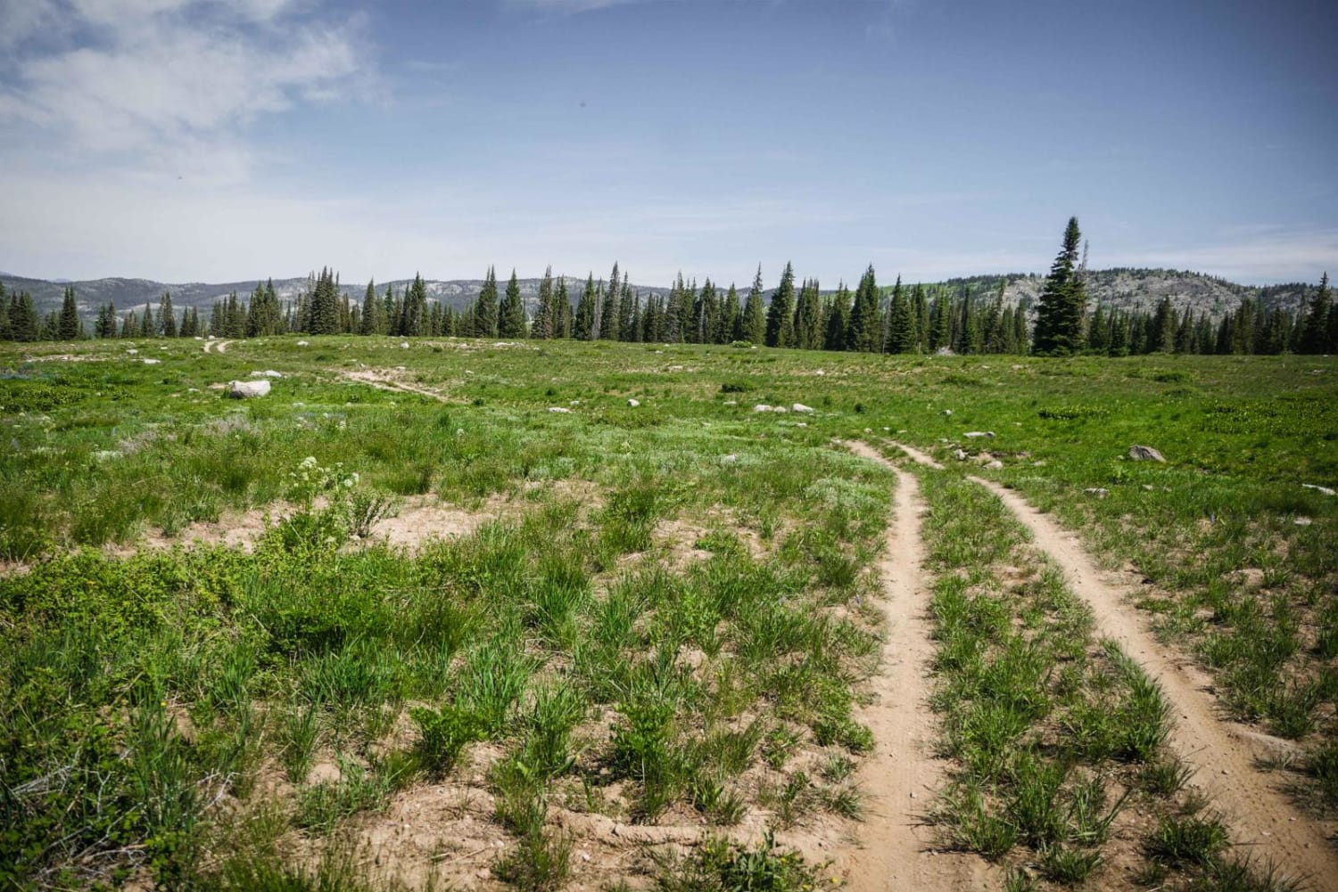
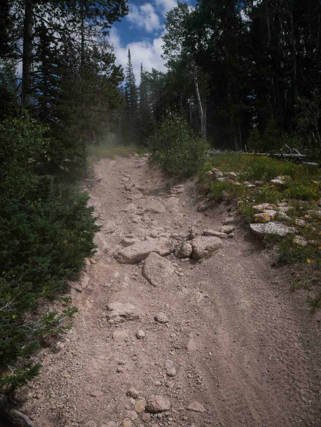
Trail Overview
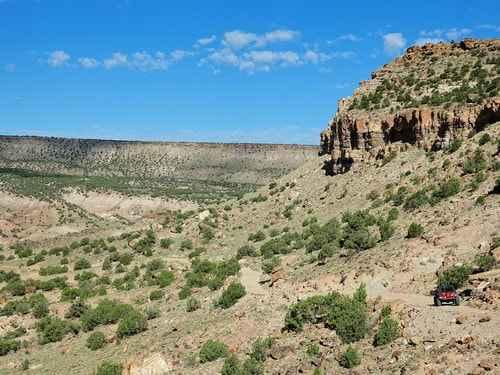
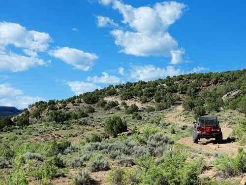
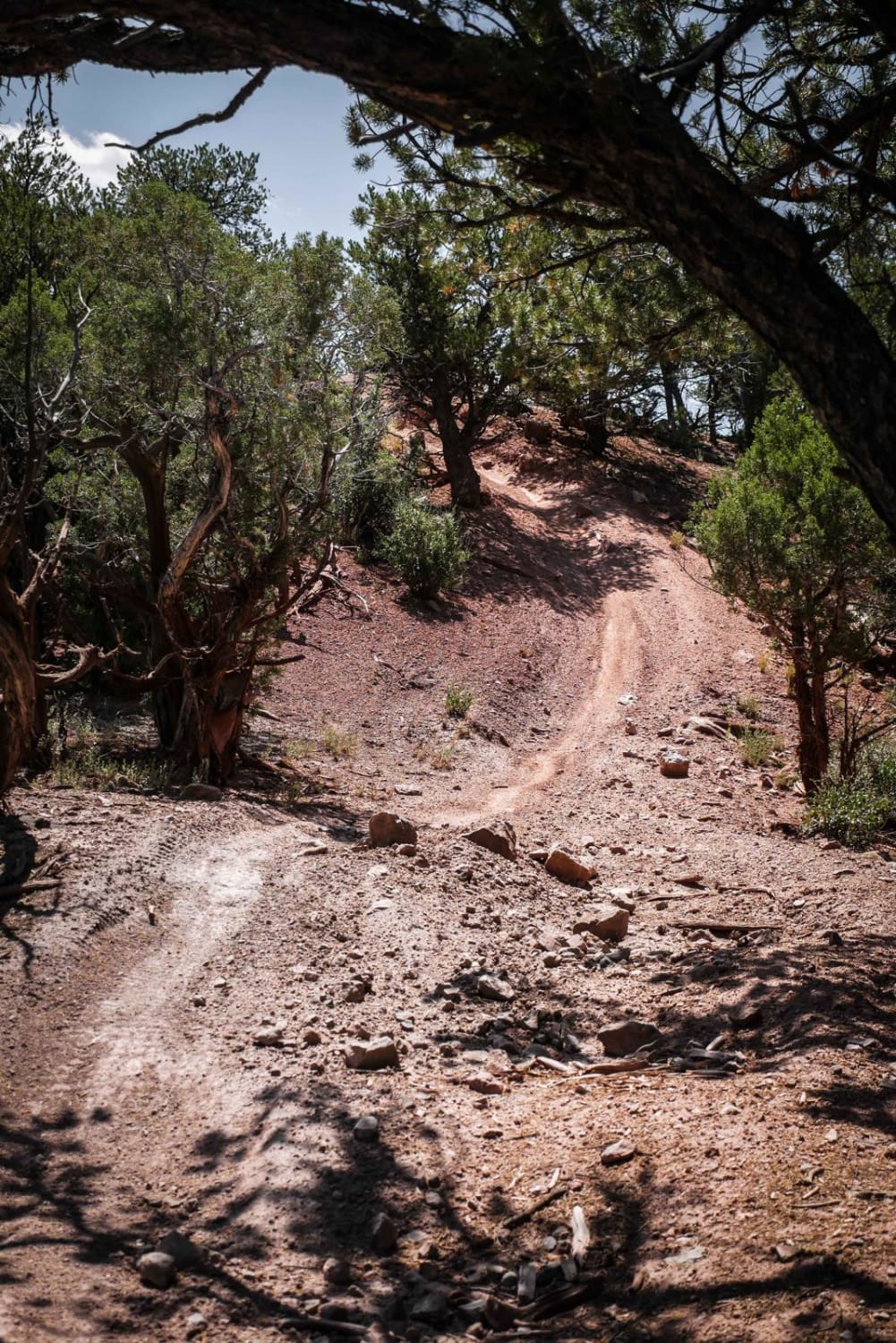
Tabeguache 2.0 is a short, easy Jeep trail a short distance west of Montrose. It starts near the Dry Creek Rock Crawling Trails, and crosses Dry Creek, Piney Creek, and Cushman Creek before climbing up to the South Divide - Transfer Roads. The two obstacles that used to make this trail more difficult have now been removed.Leave the road that accesses the Dry Creek Rock Crawling Trails and drive along a scenic shelf road above Dry Creek Basin, then drop down into Dry Creek Basin.Cross Dry Creek Basin then climb to the slightly higher ground covered with juniper-pinyon on your way to Piney Creek. Unfortunately, this trail has now been graded and both obstacles removed. You will wind through a heavy stand of pinion-juniper until you reach the Cushman Mesa Road. Head downhill and enjoy the views of the Uncompaghre River Valley.
Photos of Tabeguache
Difficulty
Fairly easy trail with some narrow rocky sections
Status Reports
Tabeguache can be accessed by the following ride types:
- High-Clearance 4x4
- SxS (60")
- ATV (50")
- Dirt Bike
Tabeguache Map
Popular Trails
Mount Elbert East Ridge
Hayden Archer Connector
The onX Offroad Difference
onX Offroad combines trail photos, descriptions, difficulty ratings, width restrictions, seasonality, and more in a user-friendly interface. Available on all devices, with offline access and full compatibility with CarPlay and Android Auto. Discover what you’re missing today!