Strawberry BLM Road #2751
Total Miles
10.9
Technical Rating
Best Time
Summer, Fall
Trail Type
Full-Width Road
Accessible By
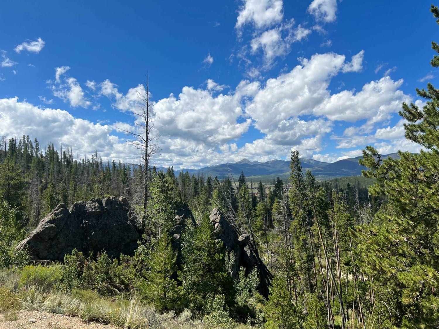
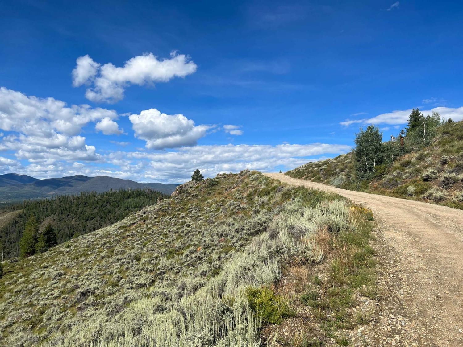
Trail Overview
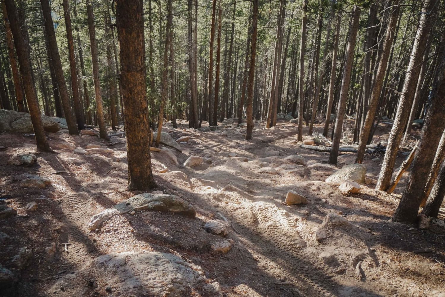
Traveling on this BLM road provides easy access to secluded dispersed camping all along its length and at the ends, as well as access to great mountain biking and stunning views of Fraser Valley and Byers Peak. The road is well-maintained and smooth for most of its length but gets narrower, eroded, rougher, and rockier in the most remote sections. Although in good conditions, 2WD vehicles should be fine on the majority of it.
Photos of Strawberry BLM Road #2751
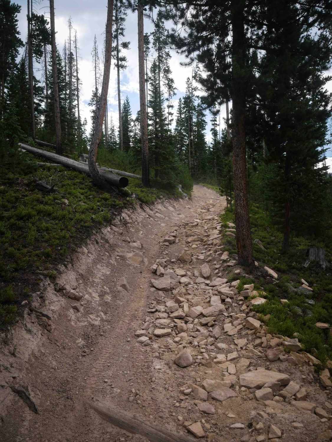
Difficulty
The vast majority of this trail is dirt, however traveling to the most remote sections one will encounter rocks up to 12 inches, mud, water, road erosion, downed trees, and overgrowth. 2WD vehicles can travel most sections of this trail in good summer conditions. 4WD is recommended for wet rain/snow conditions on rougher sections.
Status Reports
Strawberry BLM Road #2751 can be accessed by the following ride types:
- High-Clearance 4x4
- SUV
- SxS (60")
- ATV (50")
- Dirt Bike
Strawberry BLM Road #2751 Map
Popular Trails
Illinois Ditch Trail
Elephant Skin Road
770 Watson Park

The onX Offroad Difference
onX Offroad combines trail photos, descriptions, difficulty ratings, width restrictions, seasonality, and more in a user-friendly interface. Available on all devices, with offline access and full compatibility with CarPlay and Android Auto. Discover what you’re missing today!