Quakey Mountain
Total Miles
3.5
Technical Rating
Best Time
Fall, Summer
Trail Type
Single Track
Accessible By
Trail Overview
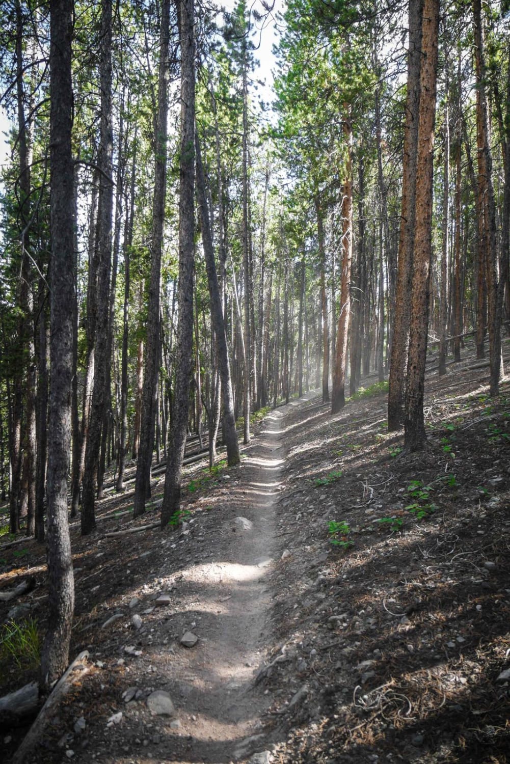
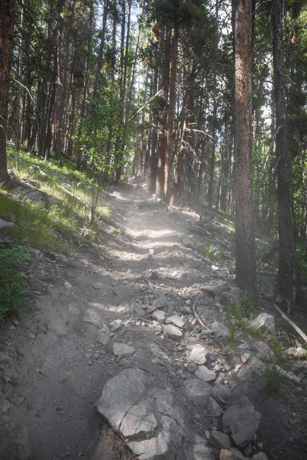
This 3.7-mile single track is mostly a rocky trail through a forest of tall pine trees near Sargents, Colorado. The north end starts out with a lot of small loose jagged rocks covering the surface of the trail, on a side-hilling shelfy trail. It widens up as you ride south, but still has some roots and some small rock ledges. It switchbacks down to Dawson Ridge Road, which connects to Highway 50 and the tiny town of Sargents. It gains about 1,000 feet of elevation as you climb up in the first half, then loses about half of that elevation before connecting with the road. This trail is more socked into the trees and doesn't have as many nice views of the mountains, but can be ridden as part of a bigger day ride with many of the other single-track trails in the area that get above 12,000 feet with excellent views of this mountain range.
Photos of Quakey Mountain
Difficulty
This is an intermediate trail with narrow shelfy sections and loose rock.
Status Reports
Quakey Mountain can be accessed by the following ride types:
- Dirt Bike
Quakey Mountain Map
Popular Trails

7 of 9 Connector
Browns & Breakneck
The onX Offroad Difference
onX Offroad combines trail photos, descriptions, difficulty ratings, width restrictions, seasonality, and more in a user-friendly interface. Available on all devices, with offline access and full compatibility with CarPlay and Android Auto. Discover what you’re missing today!