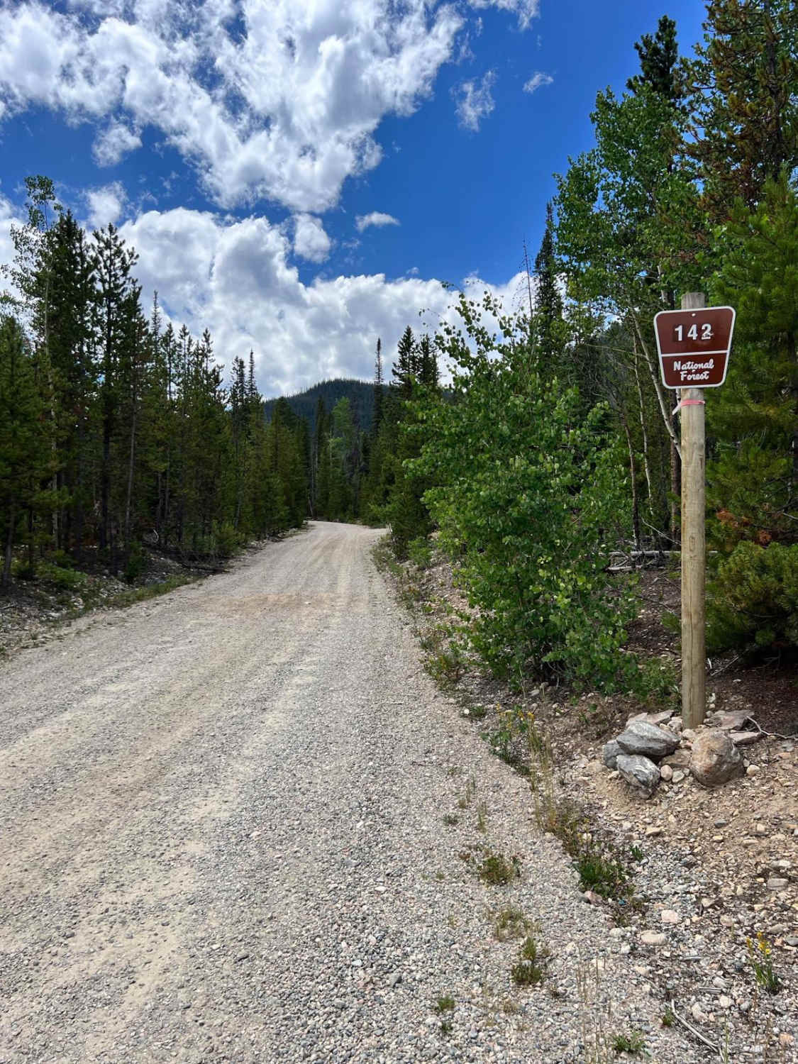
South Fork Road - FS 142.1
Total Miles
4.8
Technical Rating
Best Time
Spring, Summer, Fall
Trail Type
Full-Width Road
Accessible By
Trail Overview
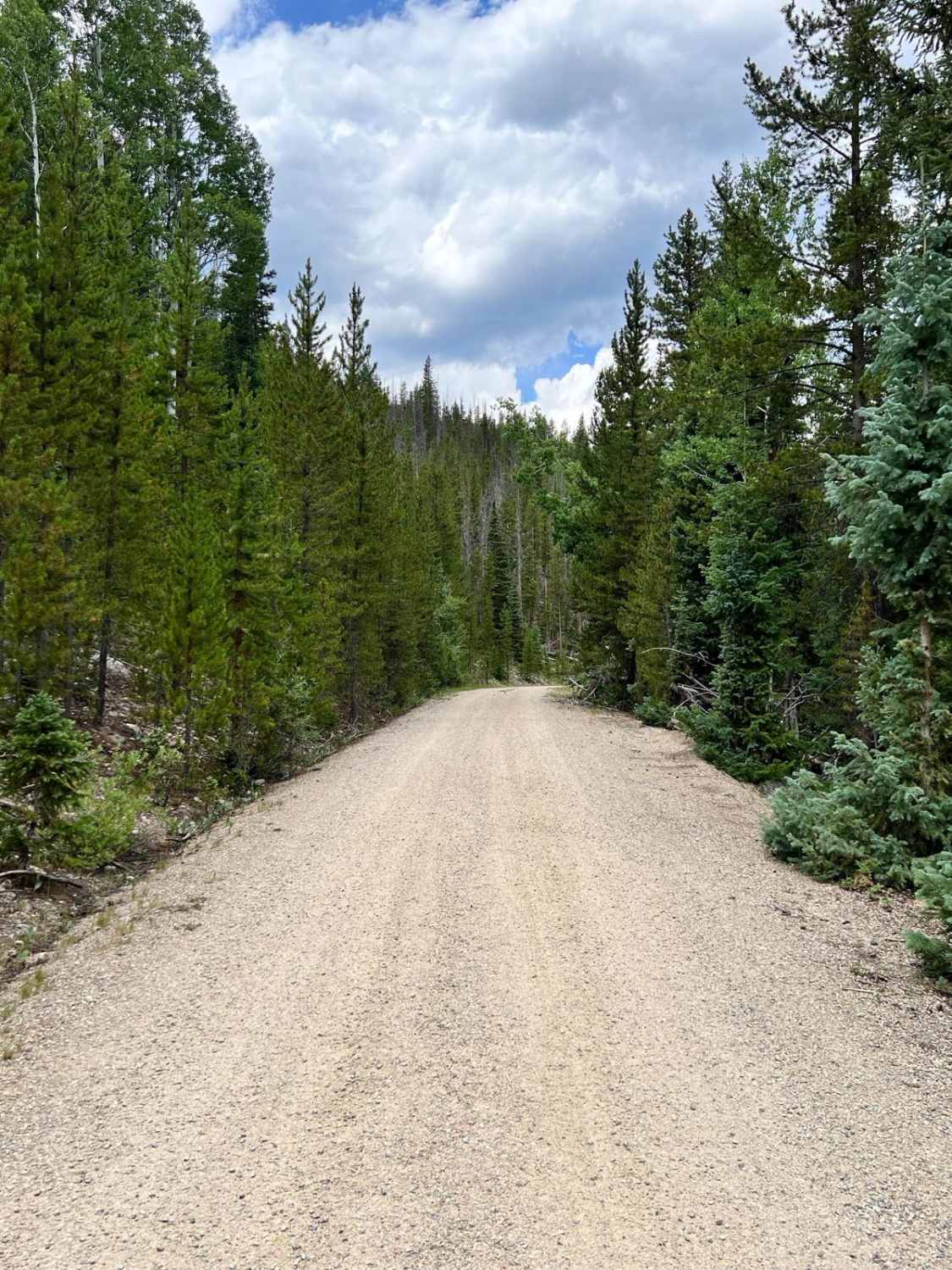
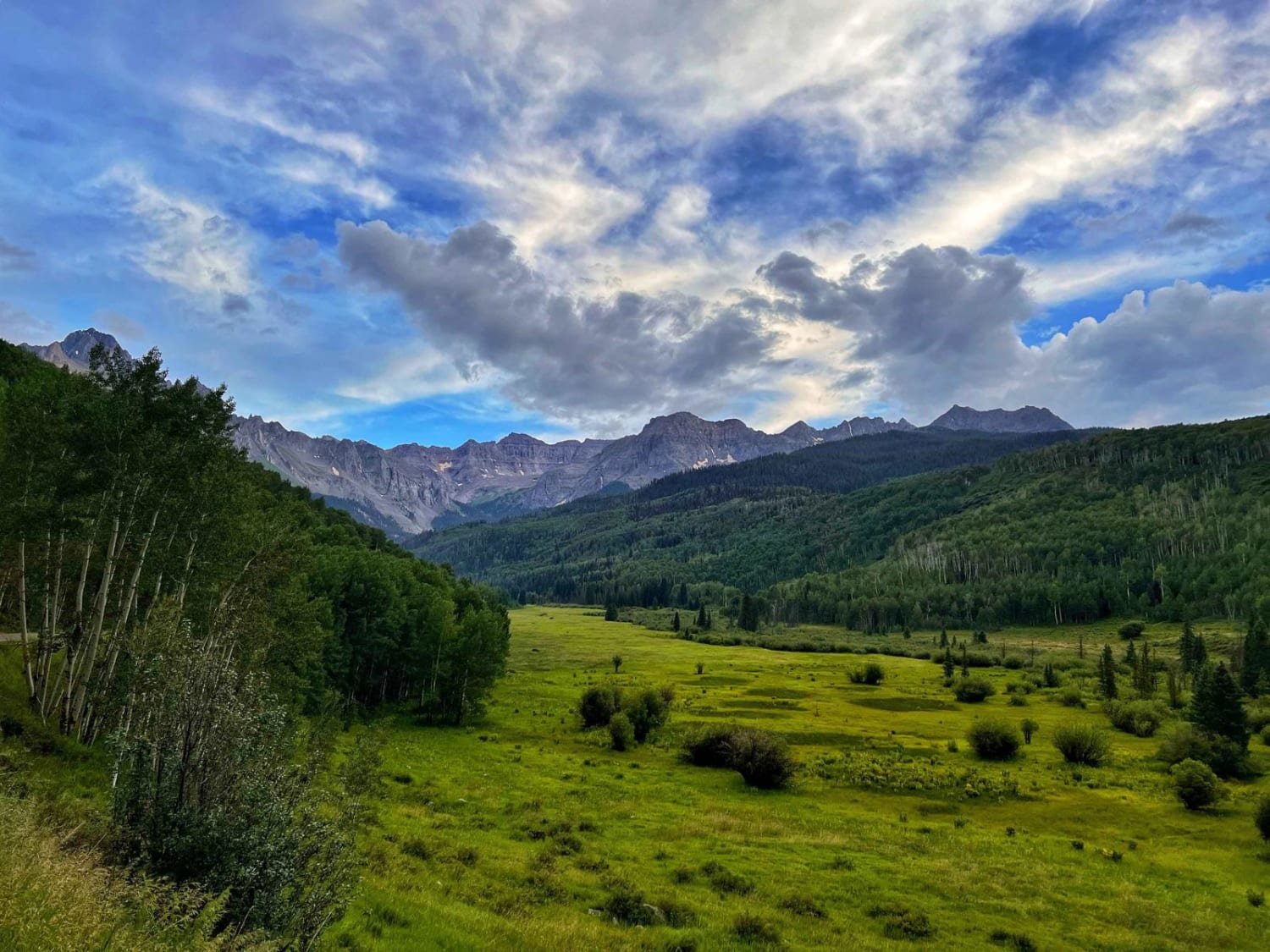
South Fork Road (FS 142.1) begins just past the tunnels beneath the Henderson Mill conveyor at the southern end of Williams Fork Road (CR 30/FR 138). This narrow, single-lane forest road winds south along the South Fork of the Williams Fork River and offers a quieter, more remote experience. Dispersed camping is abundant near the start, with several flat, shaded pull-offs within the first mile. Beyond that, the road grows tighter with limited opportunities to pull off or pass oncoming traffic. While the trail is not especially technical, its narrow width and brushy edges call for careful driving. The road ends at the South Fork Trailhead, a jumping-off point for hiking in the surrounding National Forest lands.
Photos of South Fork Road - FS 142.1
Difficulty
The road is a narrow one-lane road the entire way; however, the route is not technical and is devoid of any obstacles or water crossings.
History
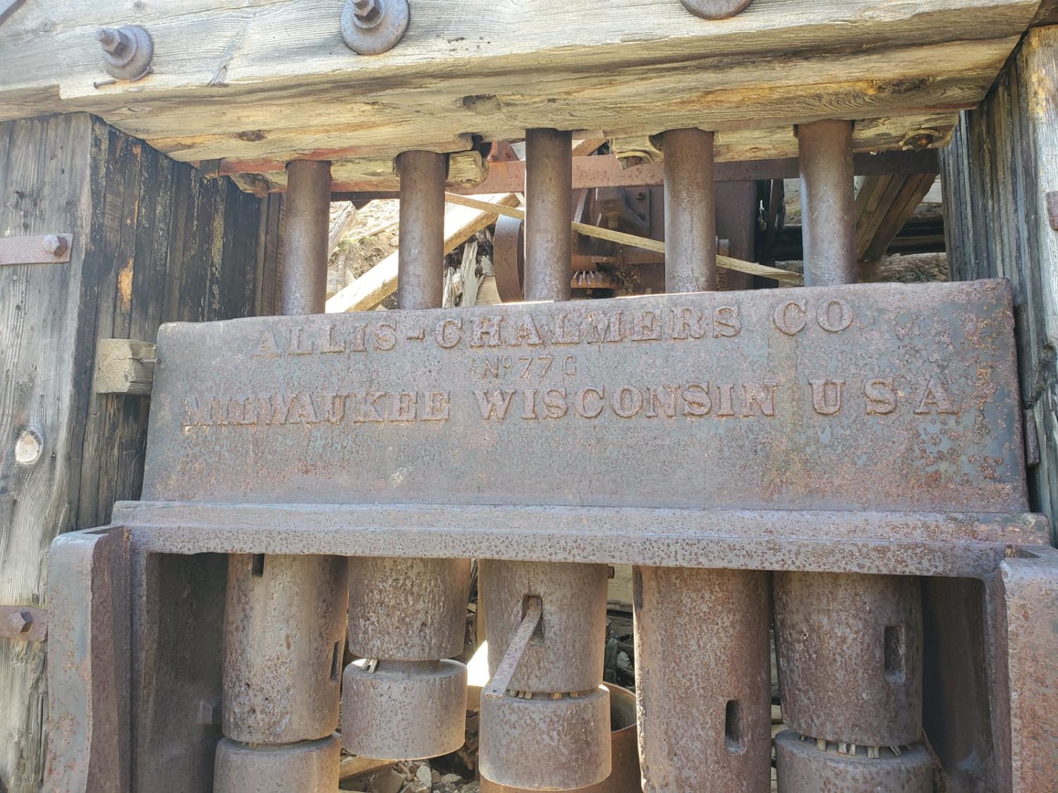
This road follows the South Fork drainage, an area historically used for seasonal grazing and timber harvesting. The narrow canyon and proximity to water made it a favored travel corridor for both wildlife and early settlers. Today, the South Fork Trailhead provides a quiet entry into rarely traveled stretches of the Williams Fork backcountry.
South Fork Road - FS 142.1 can be accessed by the following ride types:
- High-Clearance 4x4
- SUV
- SxS (60")
- ATV (50")
- Dirt Bike
South Fork Road - FS 142.1 Map
Popular Trails

Devil Mountain-Fr Rd 626
East Dallas Trail
The onX Offroad Difference
onX Offroad combines trail photos, descriptions, difficulty ratings, width restrictions, seasonality, and more in a user-friendly interface. Available on all devices, with offline access and full compatibility with CarPlay and Android Auto. Discover what you’re missing today!