Clohesy Lake
Total Miles
2.9
Technical Rating
Best Time
Summer, Fall
Trail Type
Full-Width Road
Accessible By
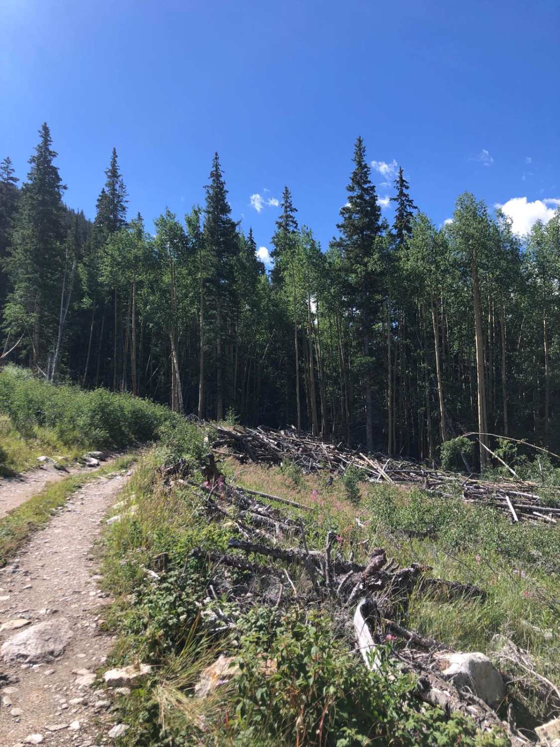
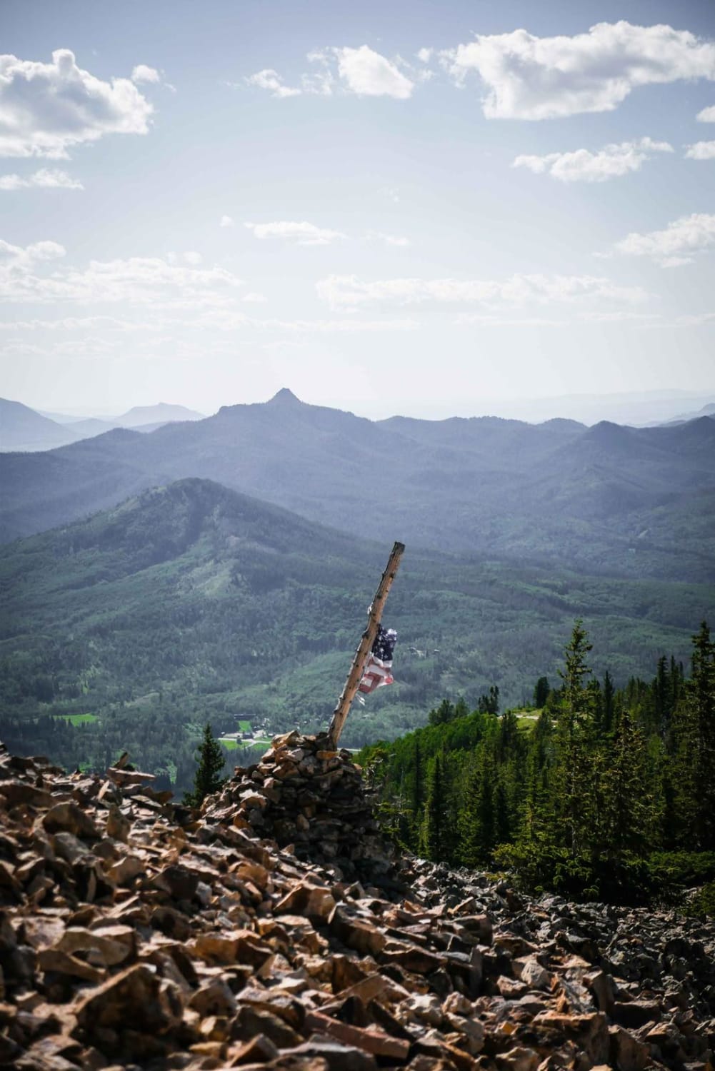
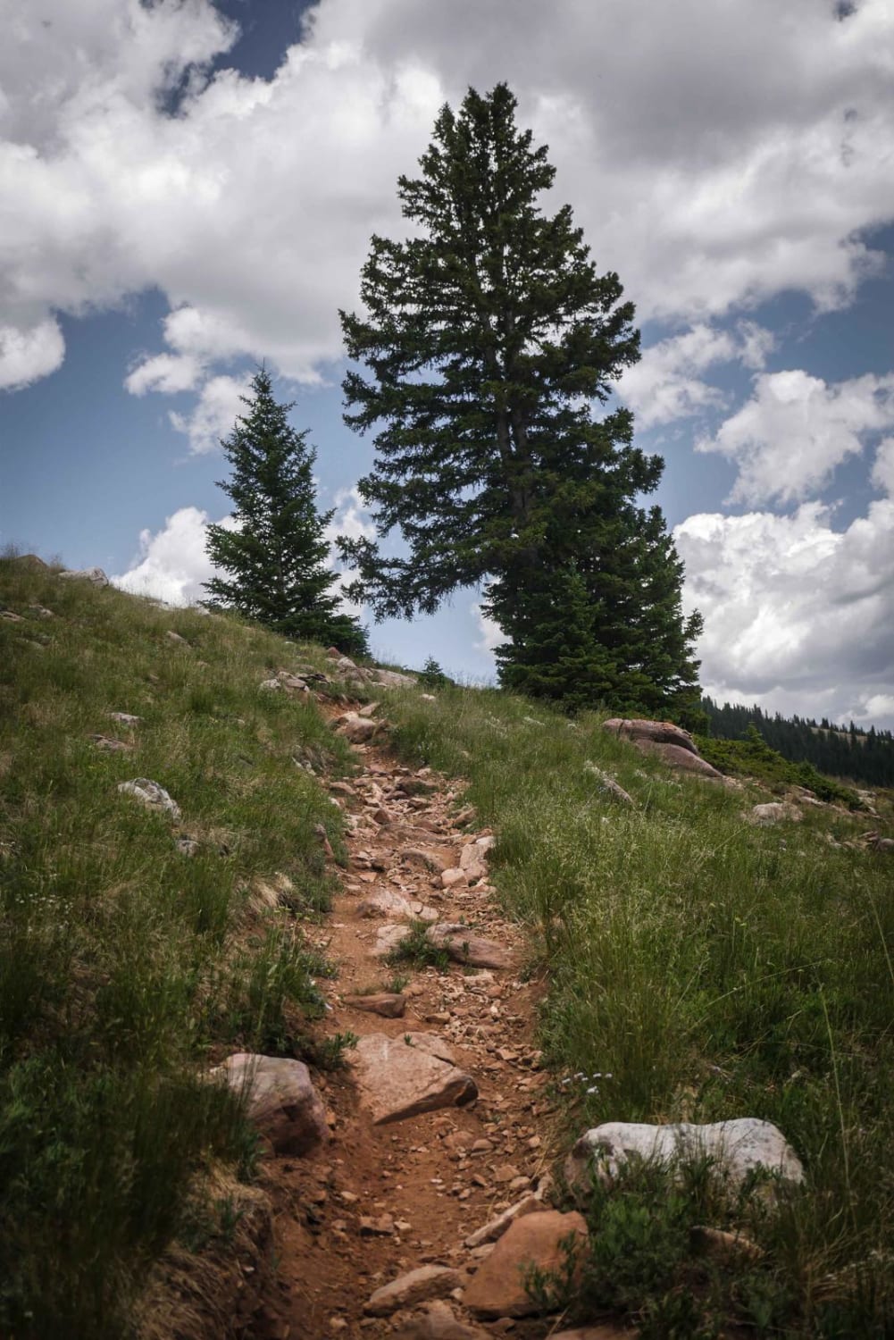
Trail Overview
This trail is easily accessed from CR 390, Clear Creek Road located between Granite and Buena Vista. Be sure to enter at FR 381 (there is a sign) rather than the old mapped entrance. The start of the trail has a double creek crossing leading to a rock face climb. This creek crossing in late summer was approximately 12" deep but could be significantly higher earlier in the spring/summer months. The single-lane trail (with turnouts) becomes a mix of rock and dirt as you climb along the ledge road up the mountain, overlooking and running parallel to Lake Fork Creek. As you continue climbing there is evidence of several old avalanches and mining cabins that mark the trail. Once you reach the large open glen at the end, there are hiking trails through the forest as well as one leading to Clohesy Lake. A few Dispersed camping sites are available along the trail but more are available at the end.
Photos of Clohesy Lake

Difficulty
There is a double creek crossing at the beginning with a rock face climb immediately afterward. The depth of the crossing will be determined by time of year and snow melt. Part of the trail is a single-lane ledge road.
Status Reports
Clohesy Lake can be accessed by the following ride types:
- High-Clearance 4x4
- SUV
- SxS (60")
- ATV (50")
- Dirt Bike
Clohesy Lake Map
Popular Trails
Narrow Gauge Ditch Part 1

Elk Creek ATV Loop
The onX Offroad Difference
onX Offroad combines trail photos, descriptions, difficulty ratings, width restrictions, seasonality, and more in a user-friendly interface. Available on all devices, with offline access and full compatibility with CarPlay and Android Auto. Discover what you’re missing today!